  |
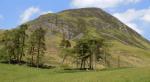
The Scottish HighlandsBen Gulabin
|
  |
| |
The Scottish HighlandsBen Gulabin
|
|
Photographs of a circular traverse of the Corbett Ben Gulabin
above Glenshee in the Eastern Highlands of Scotland
 |
|
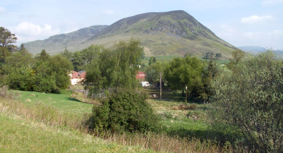
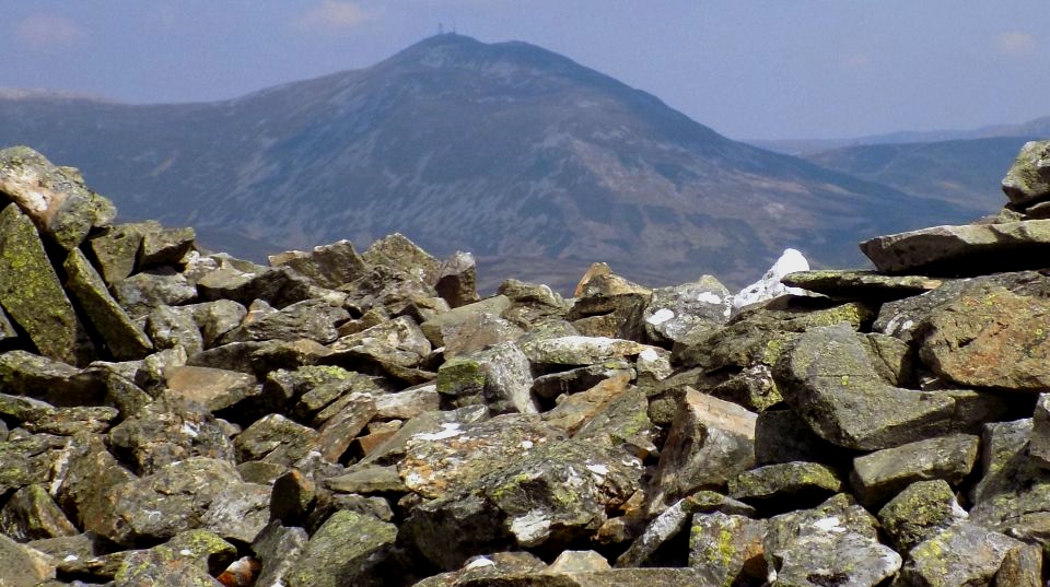
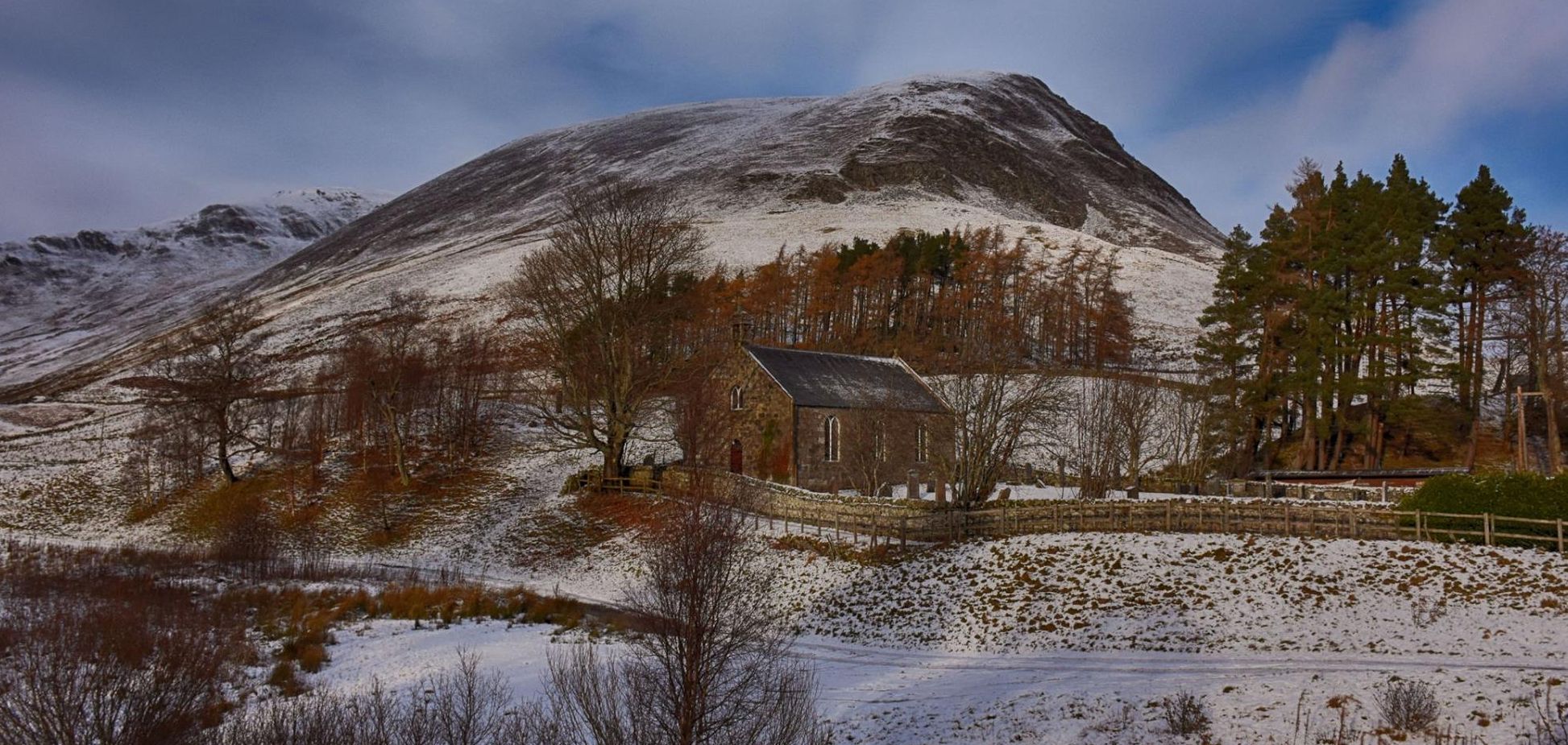
Ben Gulabin above the Spittal of Glenshee |
 |
|
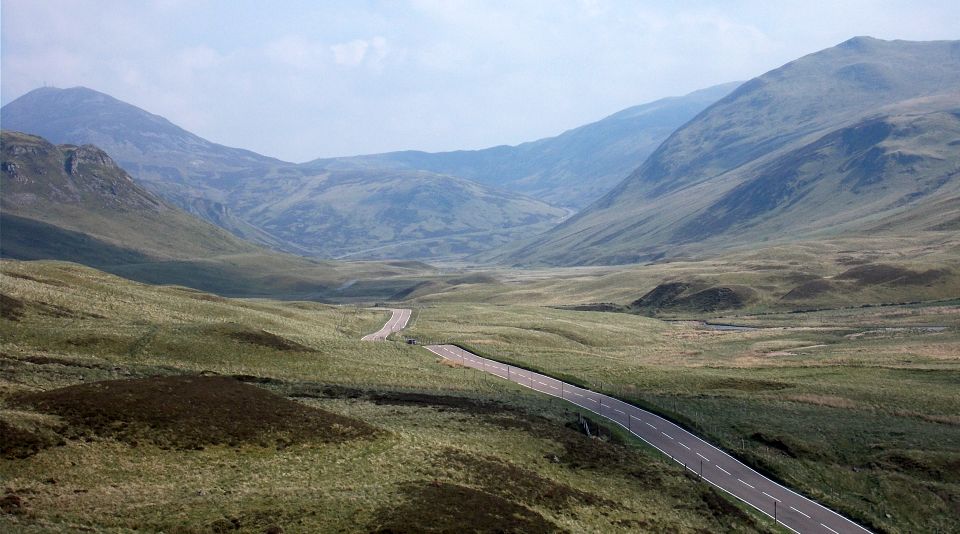
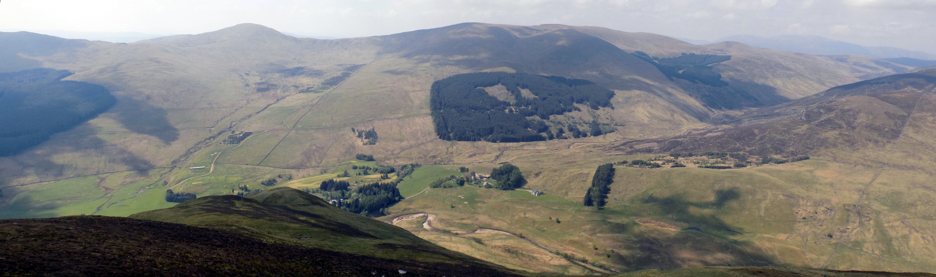
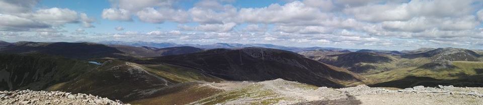
The
Cairnwell
and Glas Maol
above Glenshee |
 |
|
Glas Maol
|
 |
|
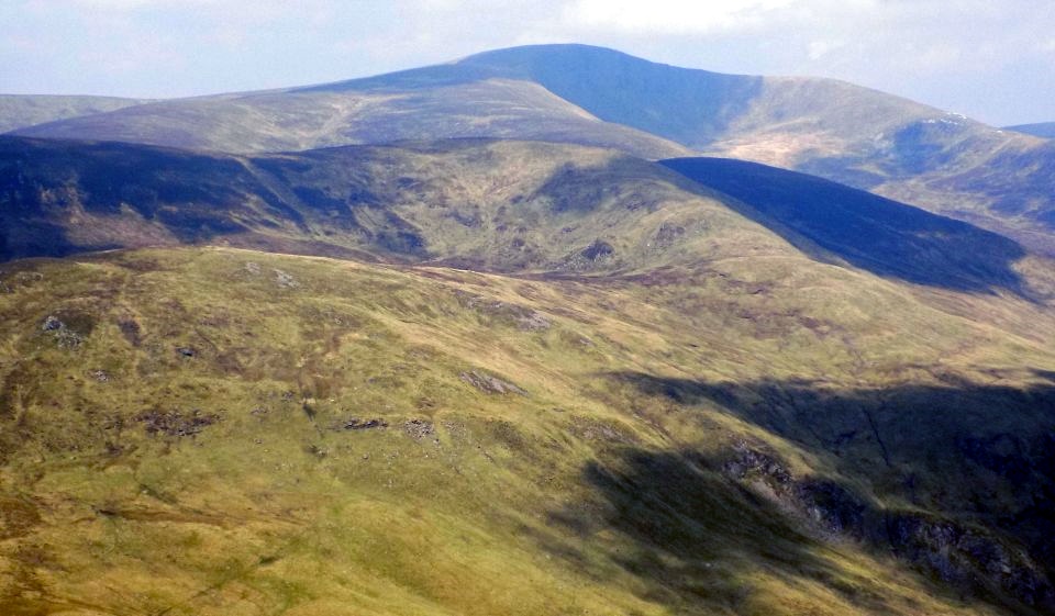
Glas
Tulaichean
|
 |
|
Glas
Tulaichean
|
 |
|
Ben
Earb and Meall 'Choire Bhuidhe
|
 |
|
|
 |
|
|
 |
|
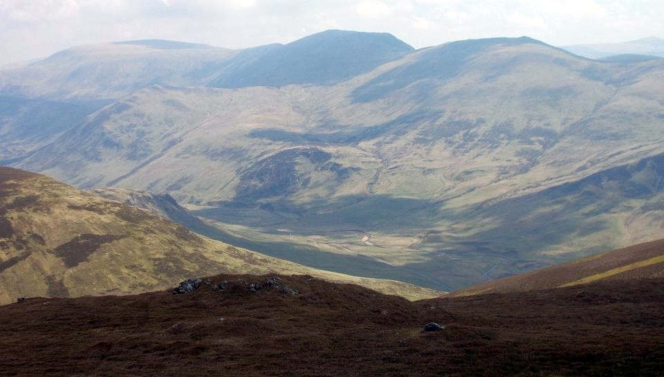
Glas
Maol and Creag Leacach
|
 |
|
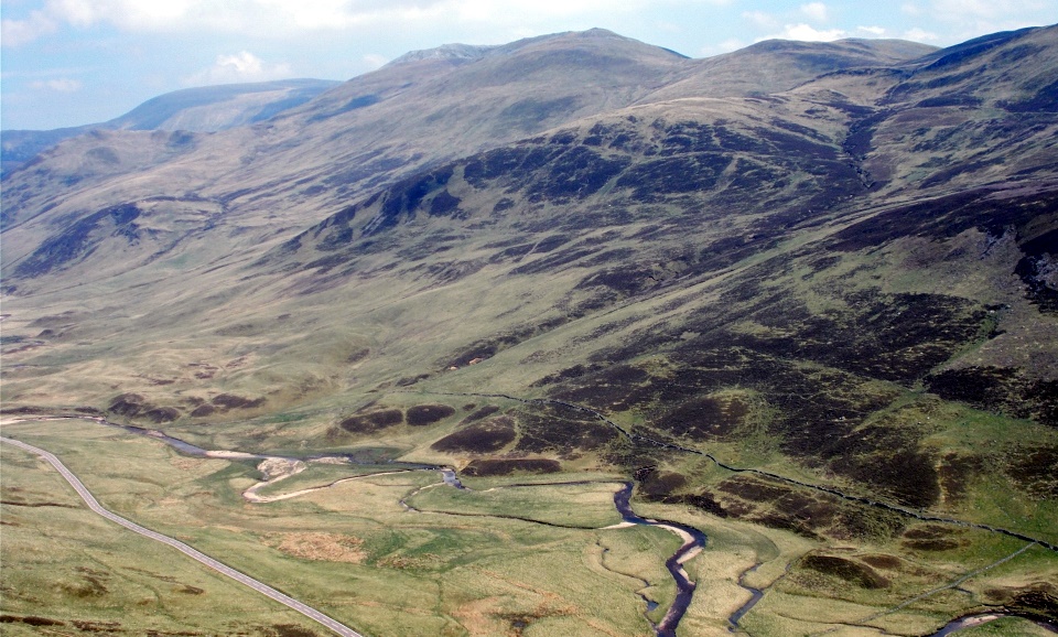
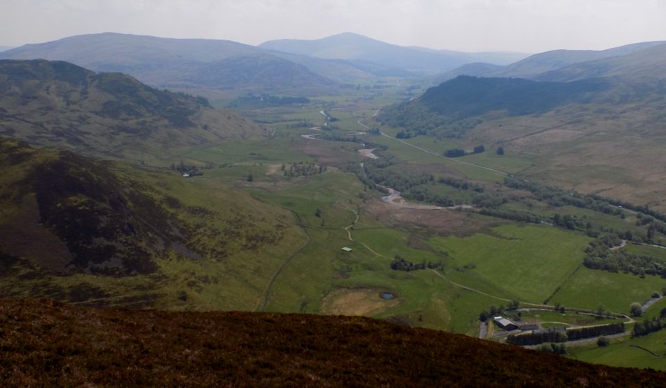
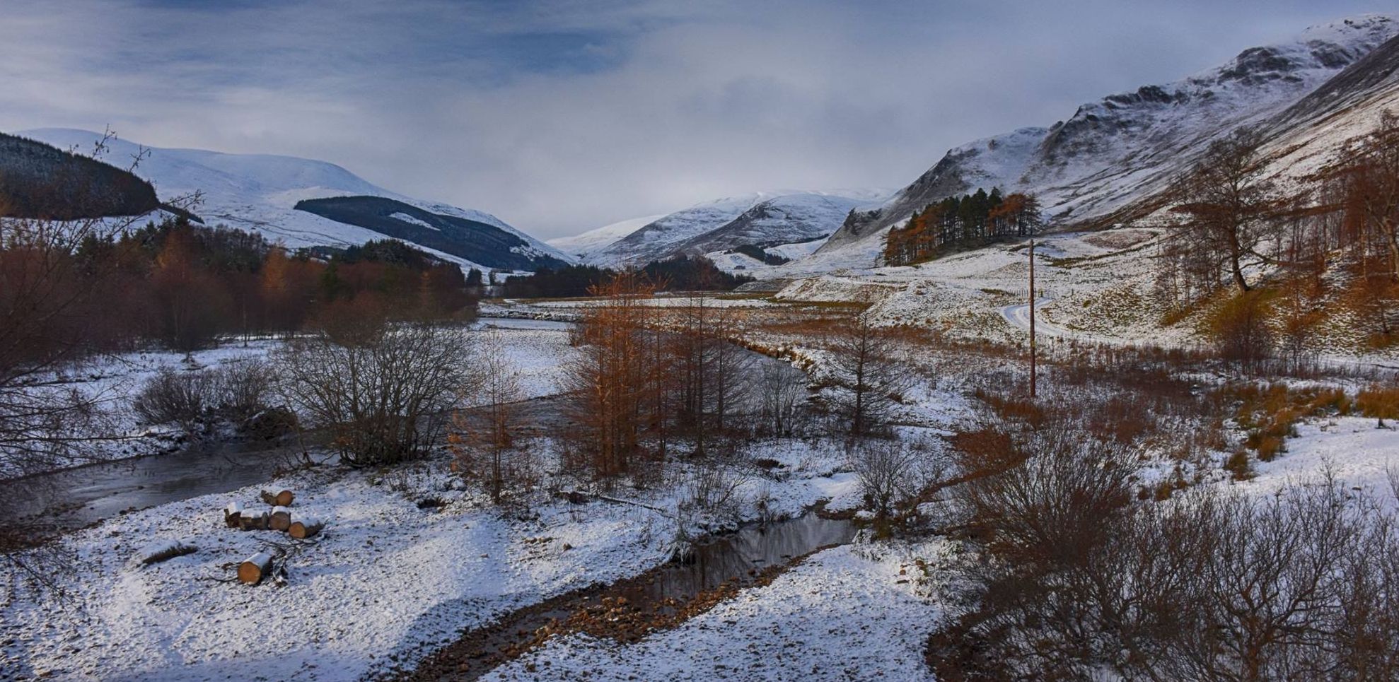
Shee Water and Spittal of Glenshee
|
 |
|
Ben Gulabin |
 |
|
Ben
Gulabin
|
 |
|
Shee Water |
 |
|
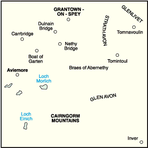
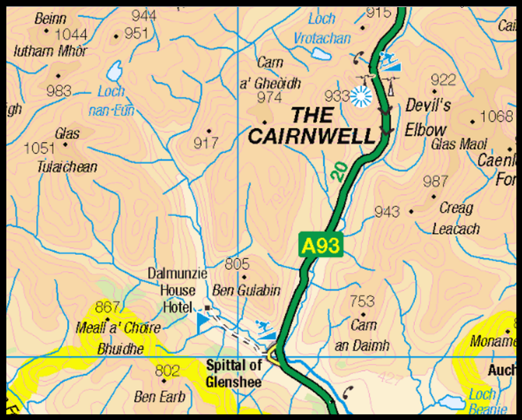
Map of Glenshee in the Eastern Highlands |
 |
|
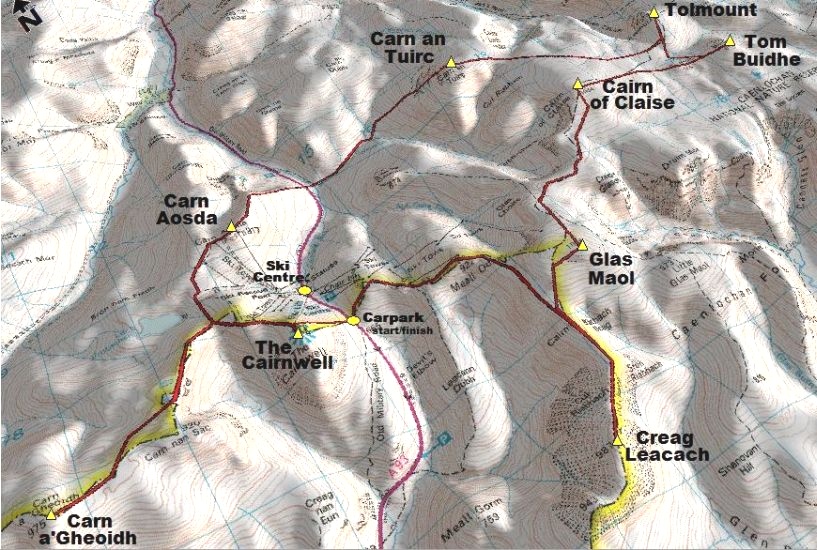
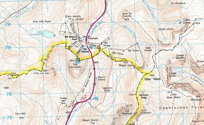
Map of the Munros around Glenshee Ski Centre |
 |
|
Map of Glenshee Ski Centre |
 |
|
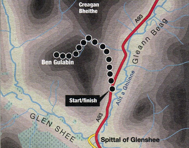
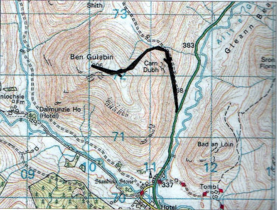
Route Map of Ben Gulabin |
BEN GULABIN - ROUTE DESCRIPTION:
Location: Spittal of Glenshee
Map: OS Landranger 43 ( GR1 14714 )
Distance: 3 miles (5km)
Time: 2.5 hours
Terrain: track and path
Ben Gulabin is the steep-sided hill which sits above Spittal of Glenshee, nestling in the V formed where Gleann Beag joins Glen Shee itself.
Utilising a good hill track that swings round to the north to avoid the steeper hillsides, it is an easily accessed and quickly ascended hill, useful for a break in
the weather or when time is limited.
Start from a small parking area on the west side of the road about a mile to the north of Spittal of Glenshee.
There is space for six or so carefully-parked cars beside a gate at the start of a track, with room to keep access to the track free.
There is another small parking area a short distance back down the road with a grassy path leading to the start of the track.
Go through the gate and ascend the track northwards across the hillside with splendid views up Gleann Beag to The Cairnwell, Glas Maol and Creag Leacach, all Munros.
Further up, where the track swings round towards the col at the back of the hill, a burn has to be forded, or jumped.
Beyond a burn that descends the hillside on the left and just below the high point of the track, break off left and climb a steep all-terrain vehicle
track straight up the hillside on to the flatter ground between the south-east top and the main top.
Swing right here and follow a small path through the heather to the summit of Ben Gulabin.
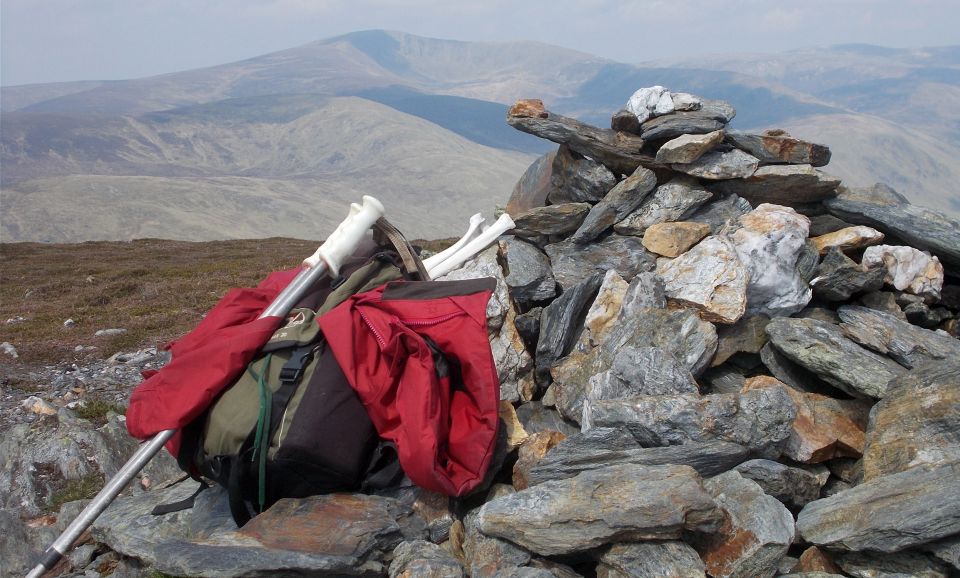
Its cairn sits atop a small outcrop of rock ( 806m; 2644ft ). It is a summit that can be reached in just under the hour, although most will be content to take a steadier pace.
It is worth walking around the flat summit area to take in the fine views. To the north-west Glas Tulaichean, with its fine eastern corrie, is clear to see and further
north Ben Macdui looms in the main Cairngorm massif.
Although it is possible to contrive an alternative return to the road, the slopes are steep and it is easier to return the same way and enjoy the surroundings.
 |
|
Route Map of Ben Gulabin |
BEN GULABIN - ROUTE DESCRIPTION 2:
 :: Cairngorms
Gallery
:: Cairngorms
Gallery 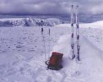
Scottish Peaks : Scotland Index