 |
Bearsden & District Buchlyvie
Village
|
  |
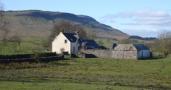
Photographs of the village of Buchlyvie in Central Scotland
| |
Bearsden & District Buchlyvie
Village
|
|
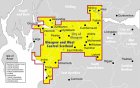
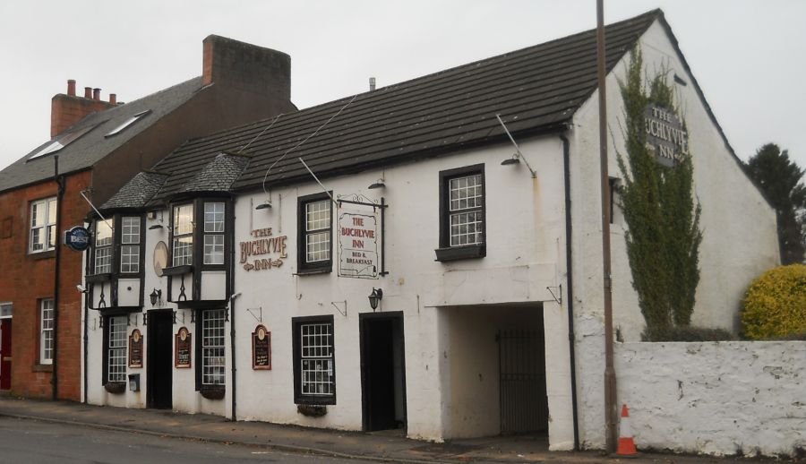
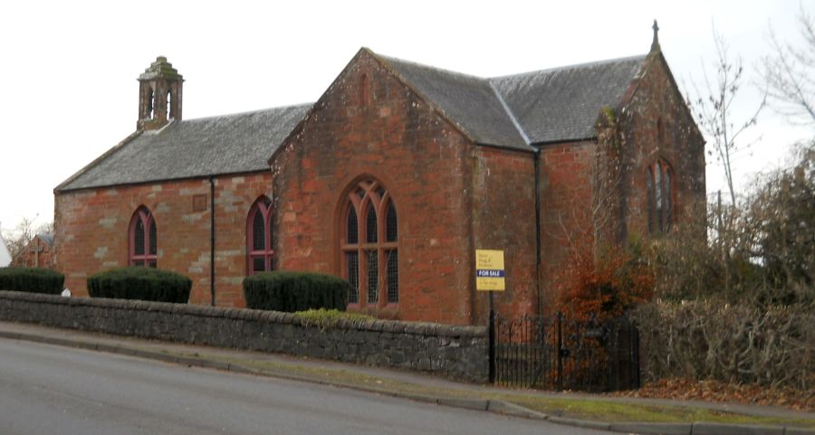
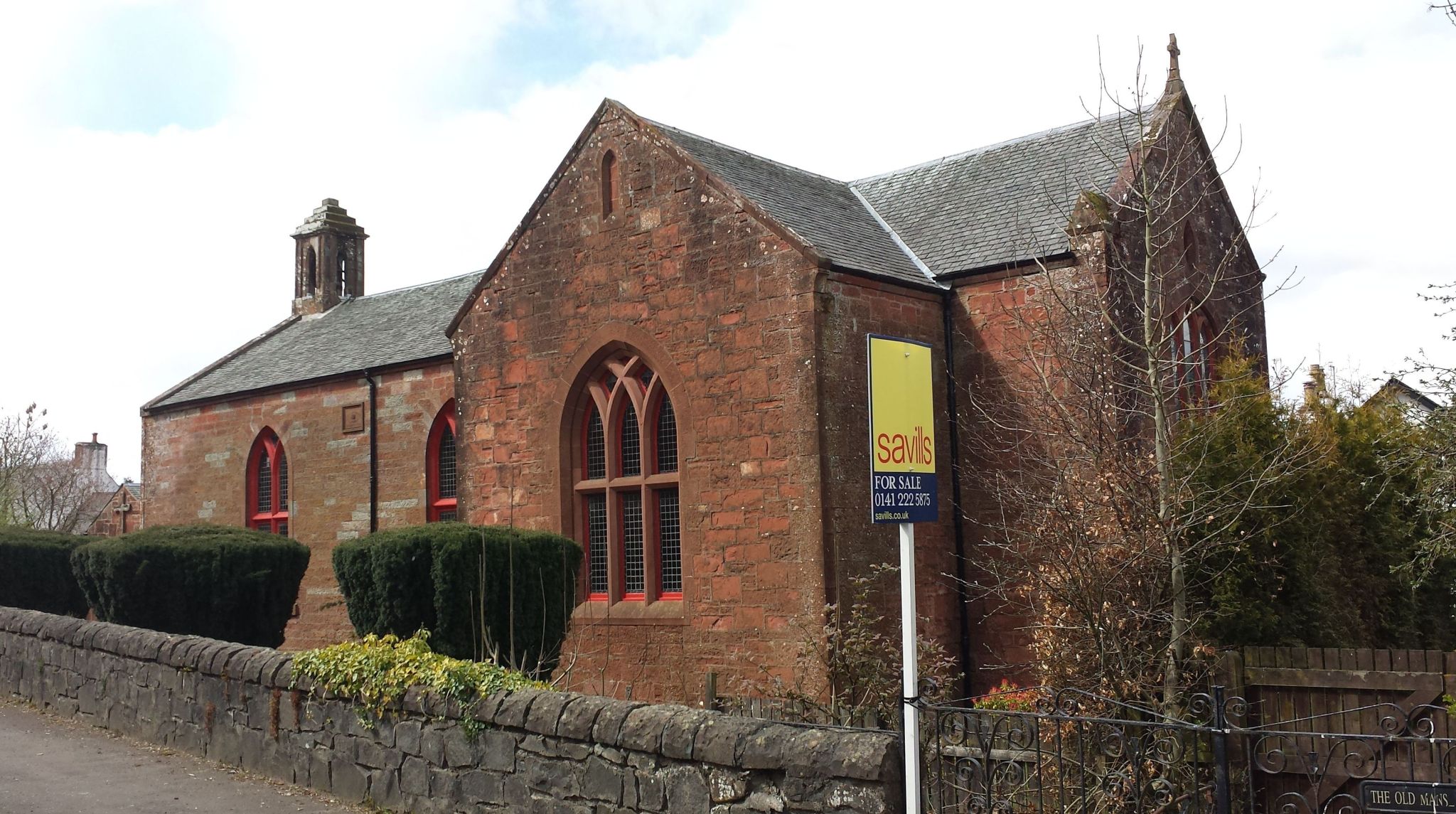
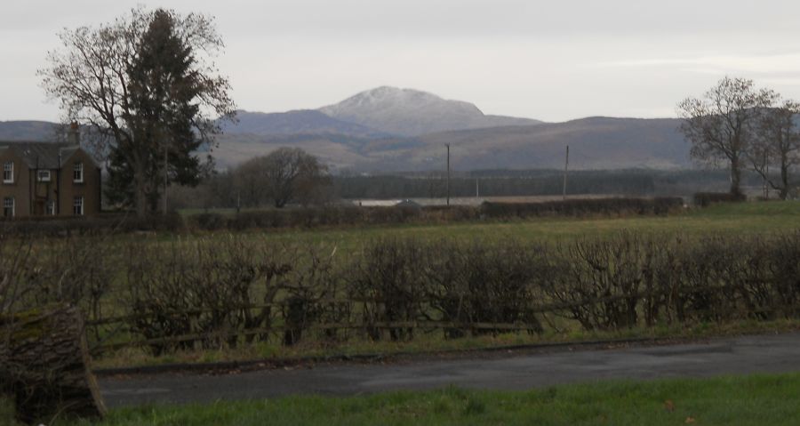
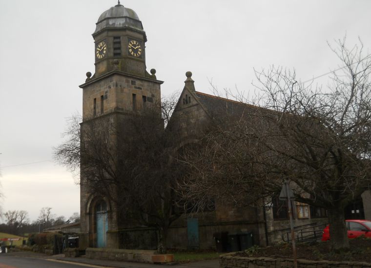 Former Church and Clock Tower ( village hall ) in Buchlyvie Village Buchlyvie is a village in Stirlingshire. It
is 24km to the west of Stirling and to the south of Flanders Moss in the Carse of Forth.
The village lies on the A811, which follows the line of an eighteenth-century military road. |
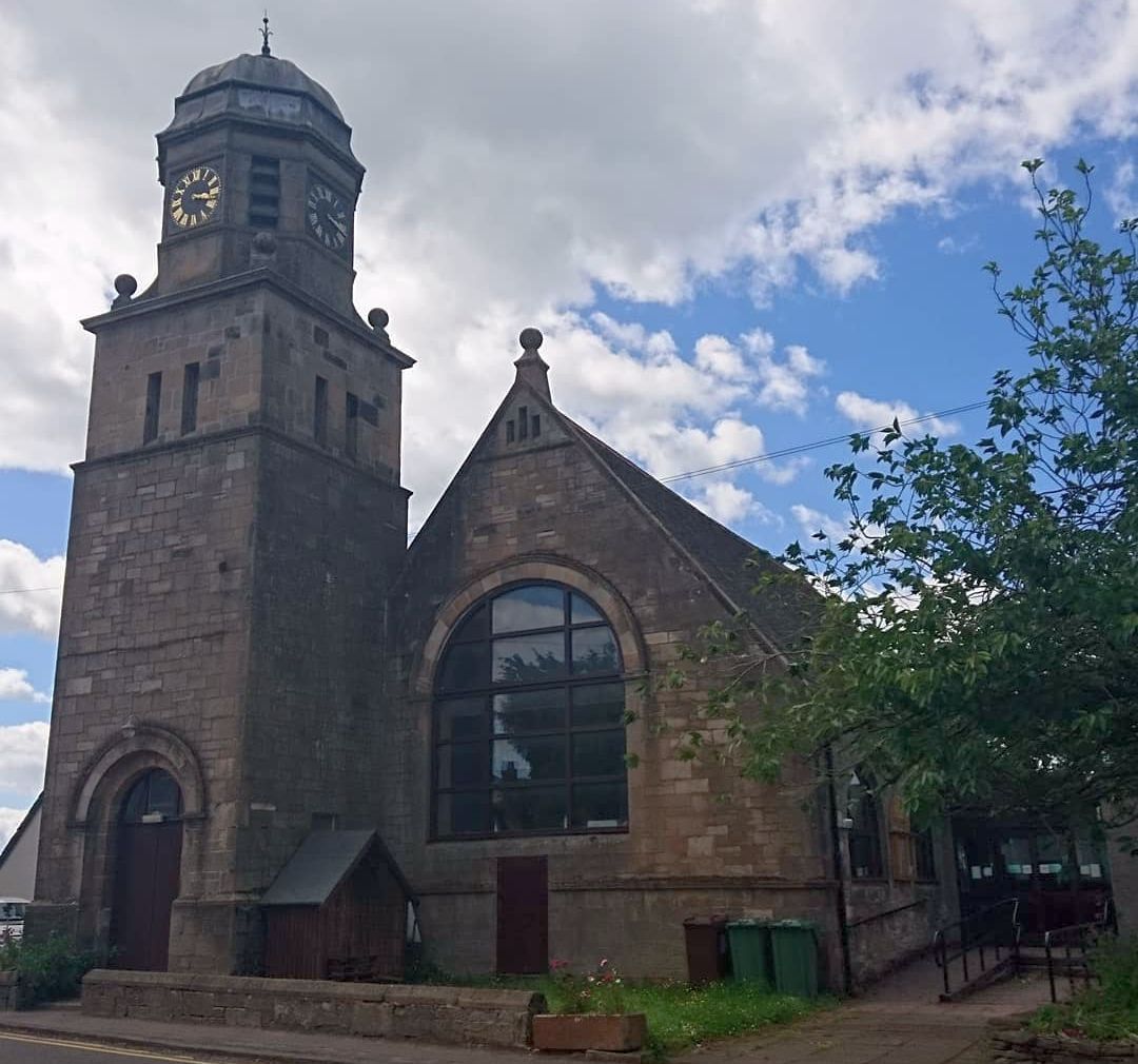 Former Church and Clock Tower ( village hall ) in Buchlyvie Village |
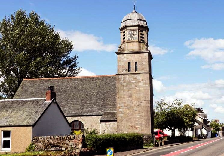 Former Church and Clock Tower ( village hall ) in Buchlyvie Village |
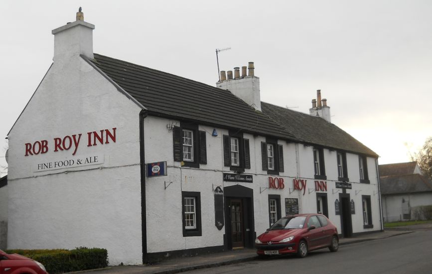 Rob Roy Inn in Buchlyvie |
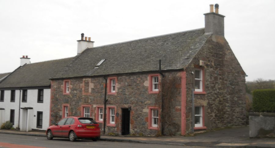 Cottage
in Buchlyvie |
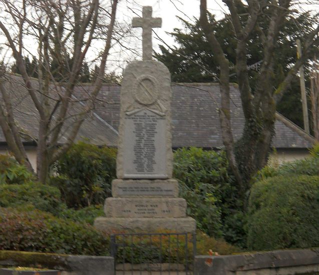 Buchlyvie
War Memorial
|
 |
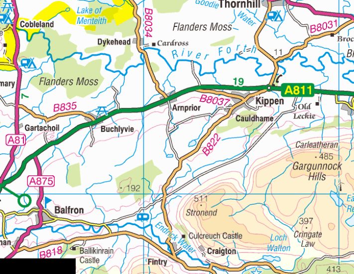 Map of
Buchlyvie area
|
 :: Campsie
Fells Gallery
:: Campsie
Fells Gallery 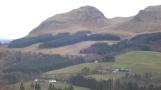
Glencoe | Ben Nevis | Knoydart | Isle of Skye | Isle of Arran
The Eastern Highlands | The Central Highlands | The Southern Highlands | The NW Highlands