  |
Towns of ScotlandLinlithgow
|
 
|
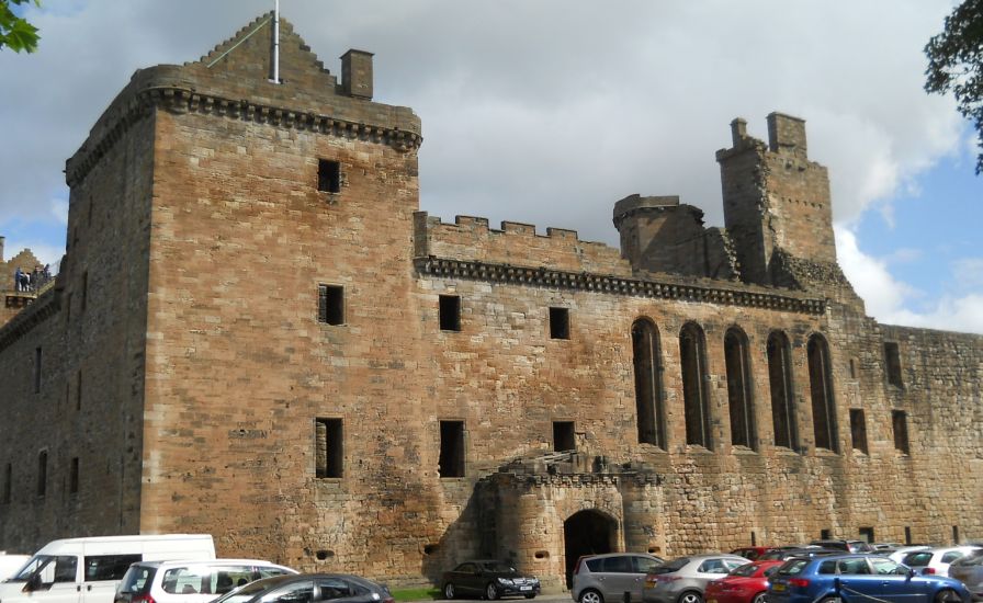
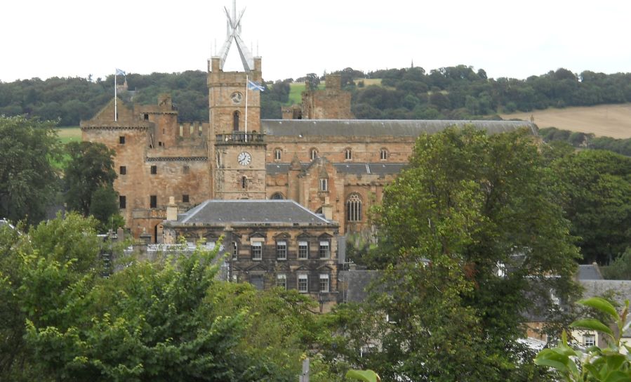
Linlithgow Palace In
the 15th and 16th centuries
the palace was one of the principal residences of the monarchs of Scotland. It continued to be maintained after the monarchs left for England in 1603 but the palace was little used and in 1746 was burned out. It is now a visitor attraction in the care of Historic Scotland. |
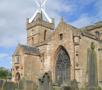
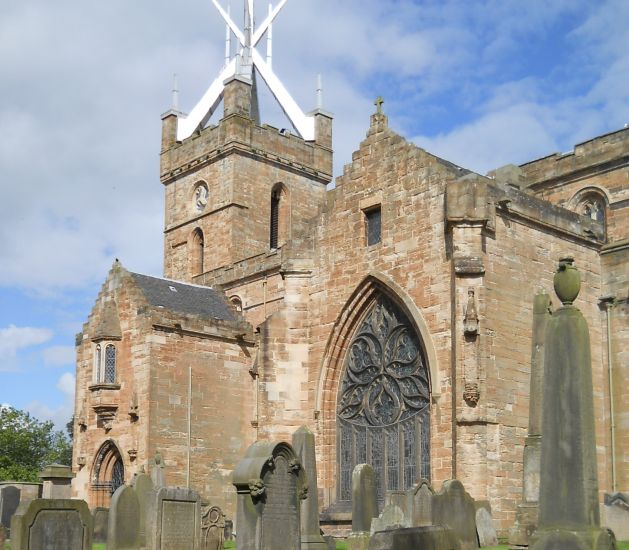 St Michael's Church at Linlithgow Palace The
church was built on the site
of an older church and was consecrated in 1242. Following a fire in 1424 most of the present building dates from the mid 15th century with extensive restorations in the 19th century. Parts of the Church of St Michael were brought into use as they were completed and the church was completed in 1540. |
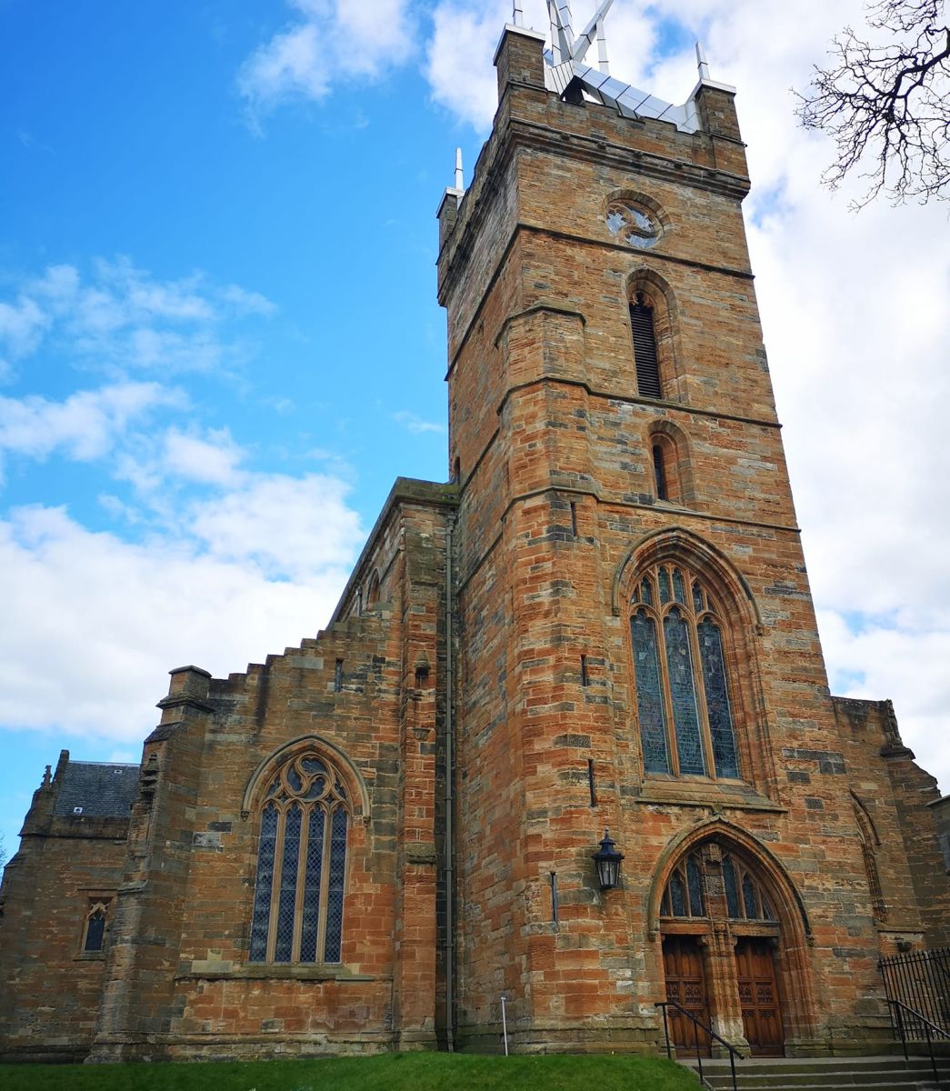 St
Michael's Church at Linlithgow Palace |
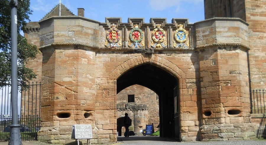
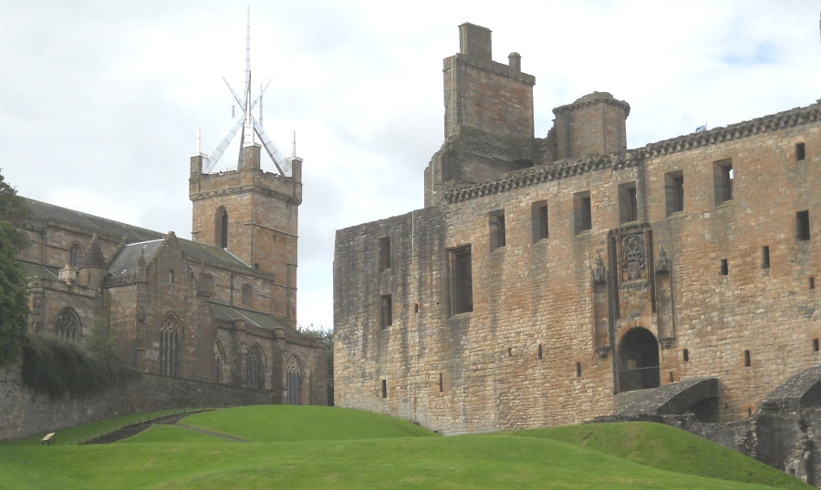
Entrance Gateway to Linlithgow Palace and
St Michael's Church |
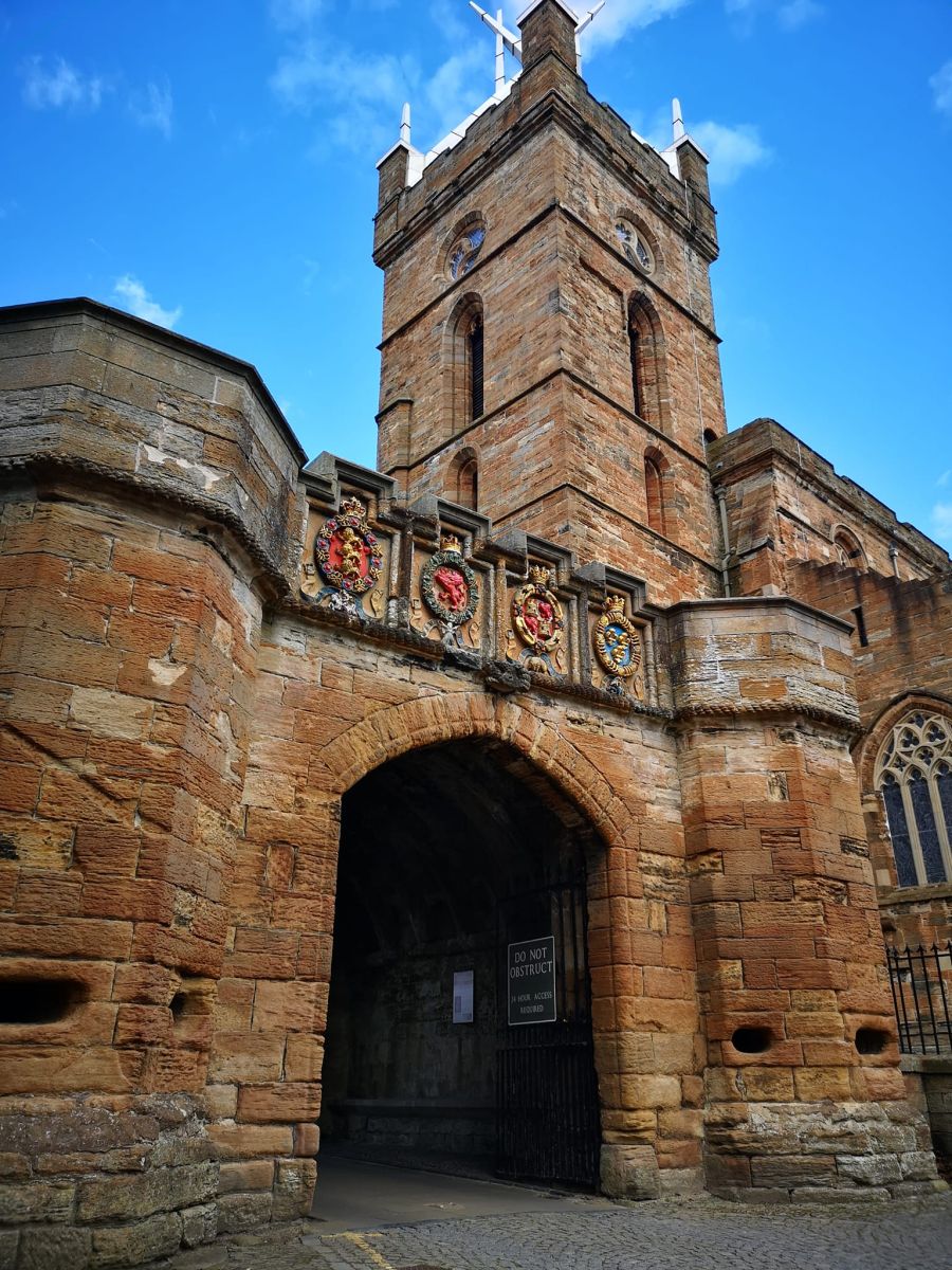
Entrance Gateway to Linlithgow Palace and
St Michael's Church |
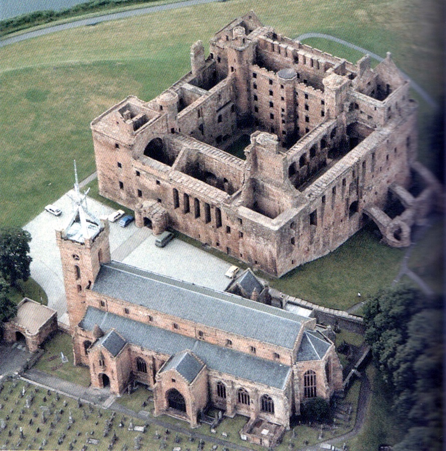
Aerial view of Linlithgow Palace and
St Michael's Church |
Aerial view of Linlithgow Palace and
St Michael's Church |
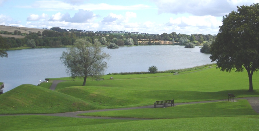
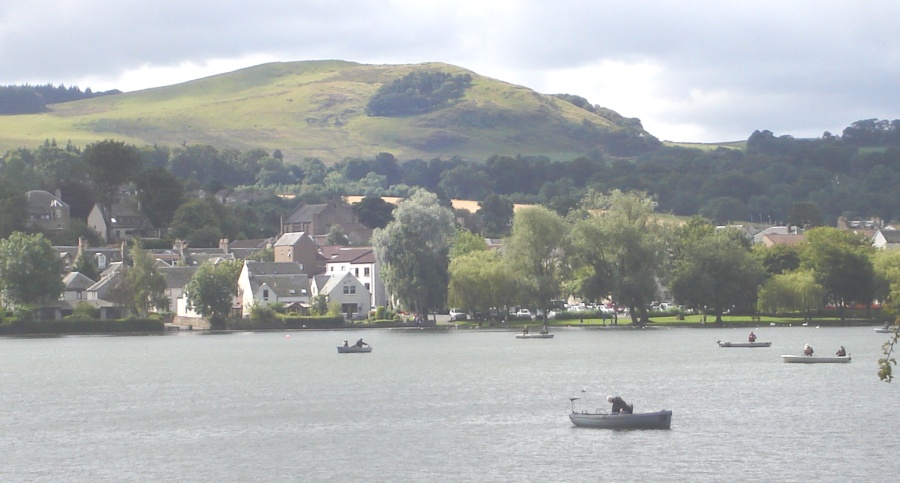
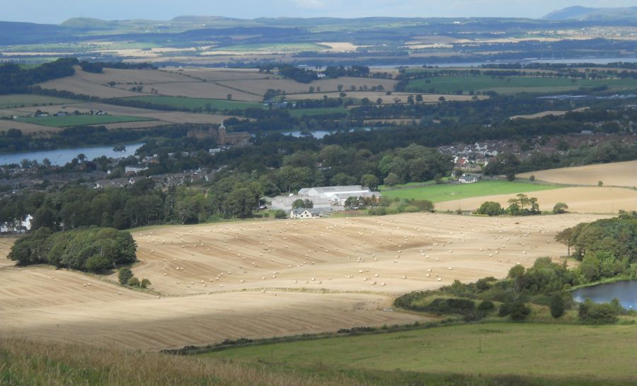
The Peel ( Park ) and Loch at
Linlithgow Palace |
 St
Michael's Church
and Linlithgow Palace from the Peel |
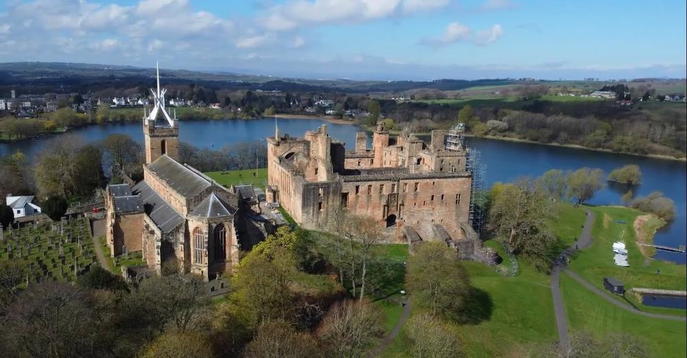
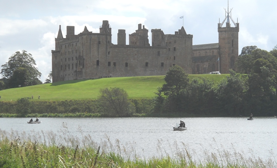 Linlithgow
Palace
and St Michael's Church from the Loch |
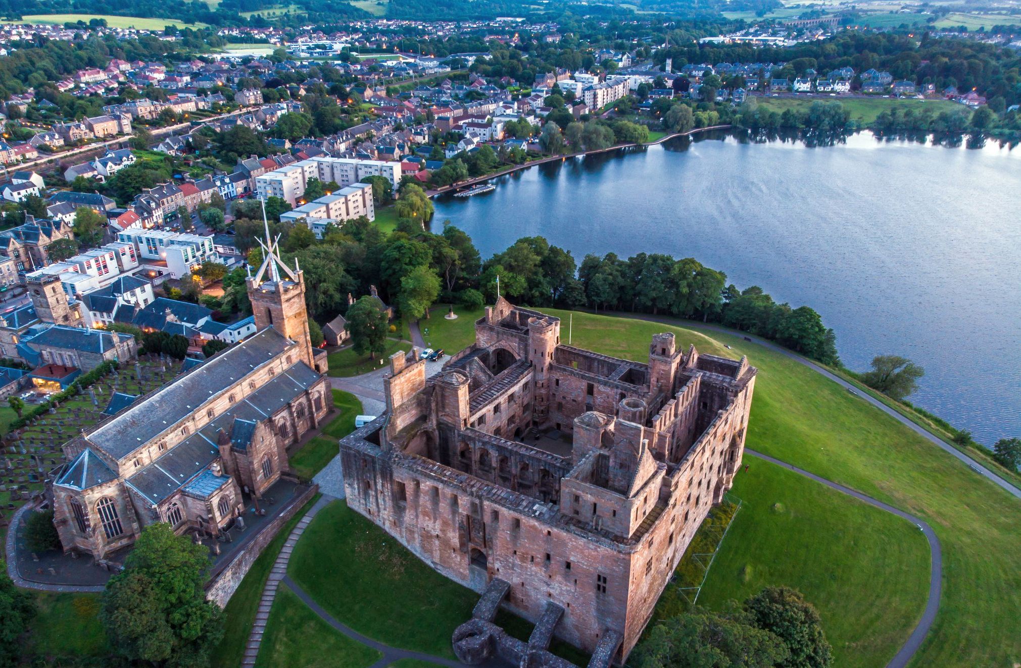 Aerial
view of Linlithgow
Palace
and St Michael's Church and the Loch |
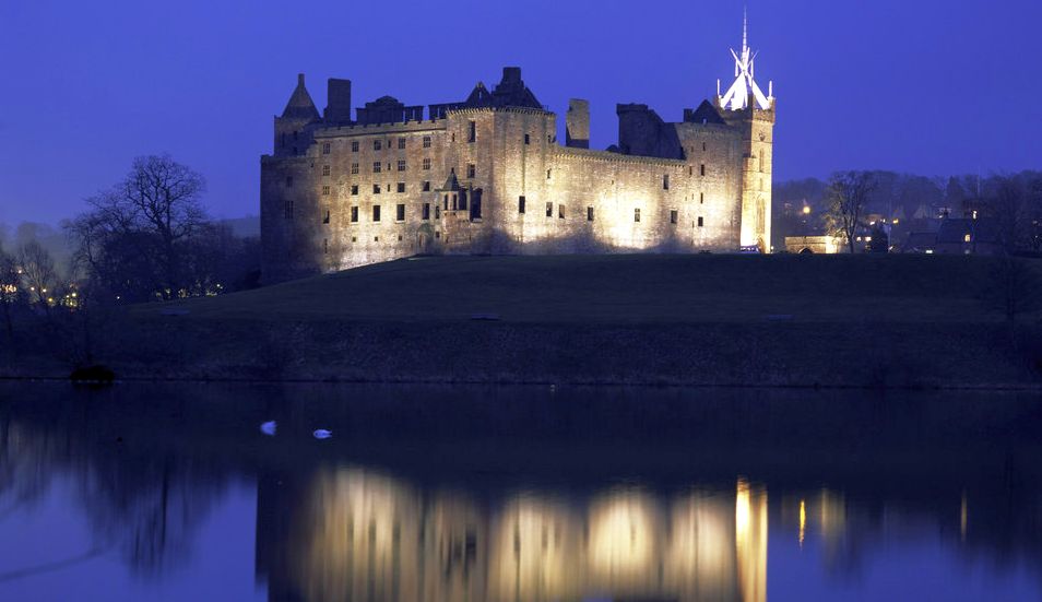 Linlithgow
Palace
and St Michael's Church from the Loch illuminated at night |
 |
 |
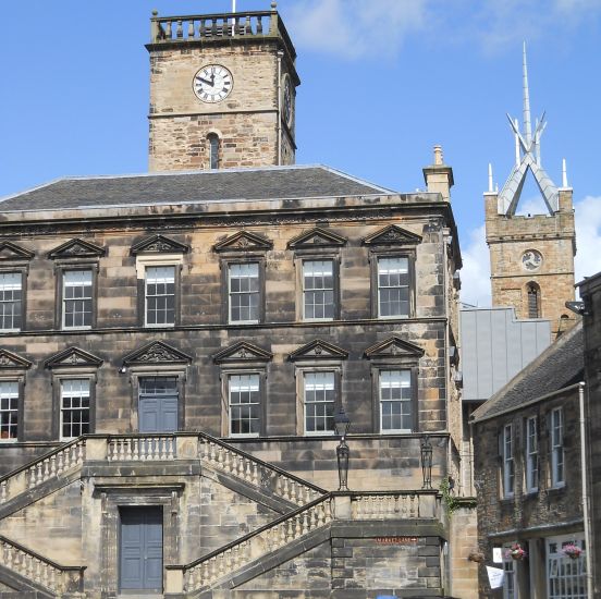 The
Town House ( 1668 )
in Linlithgow This is one of the many historic buildings lining the High Street. |
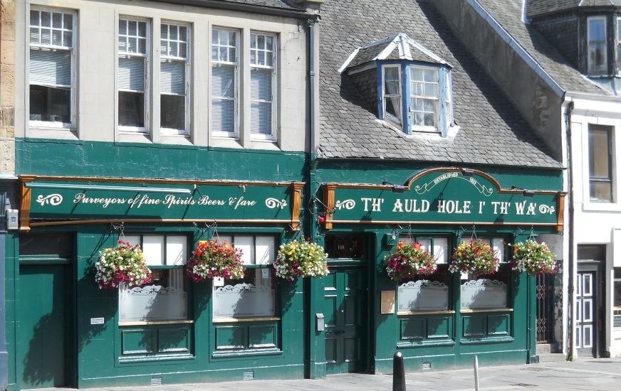 Shop
in the High Street
|
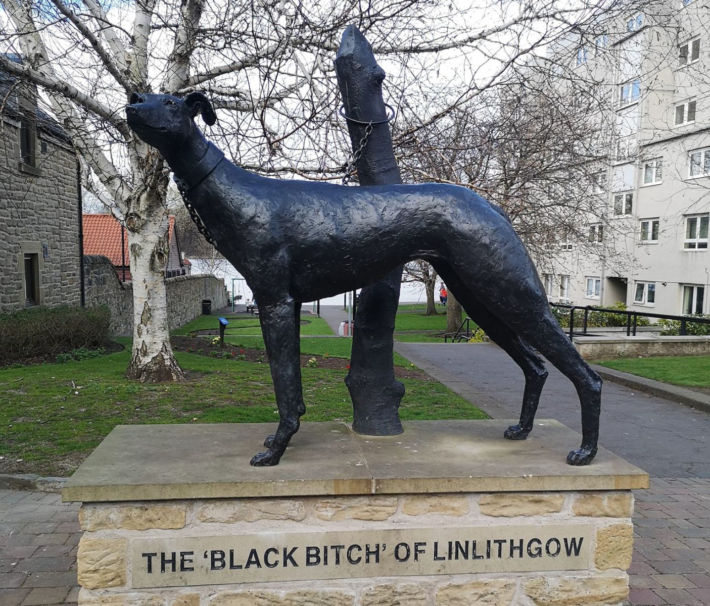 The
Black Bitch of Linlithgow
|
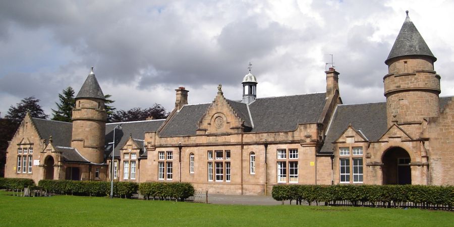 The
Primary School Building ( 1900 )
in Linlithgow |
The Palace and St Michael's Church from
the Union Canal running through Linlithgow |
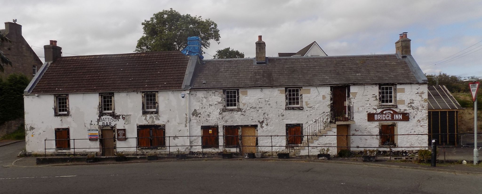
The Bridge Inn at
Linlithgow Bridge |
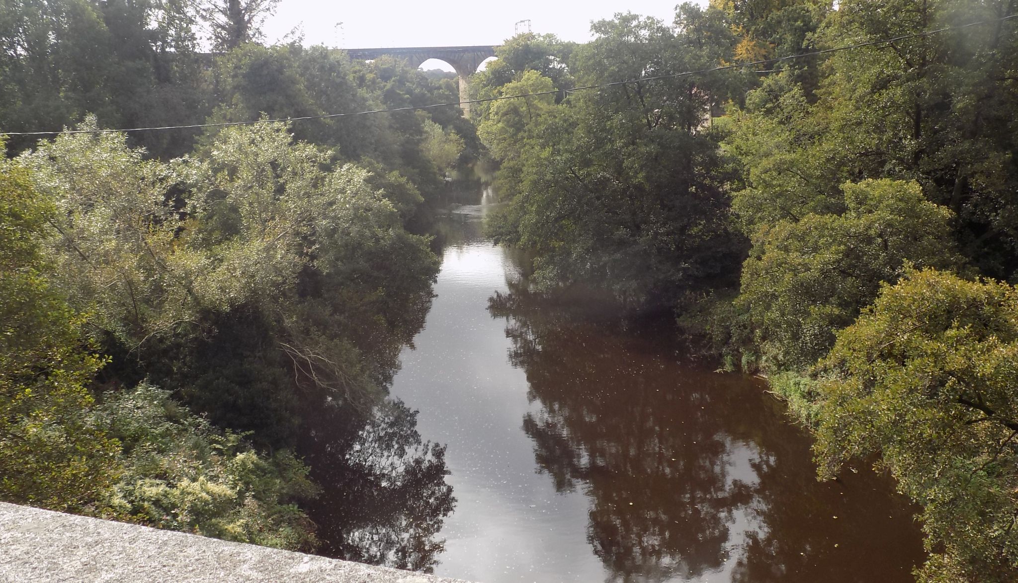
The Avon Railway Viaduct from Linlithgow Bridge The
442 yard 23 arch bridge
was built in 1839-41 The viaduct is a category "A" listed building |
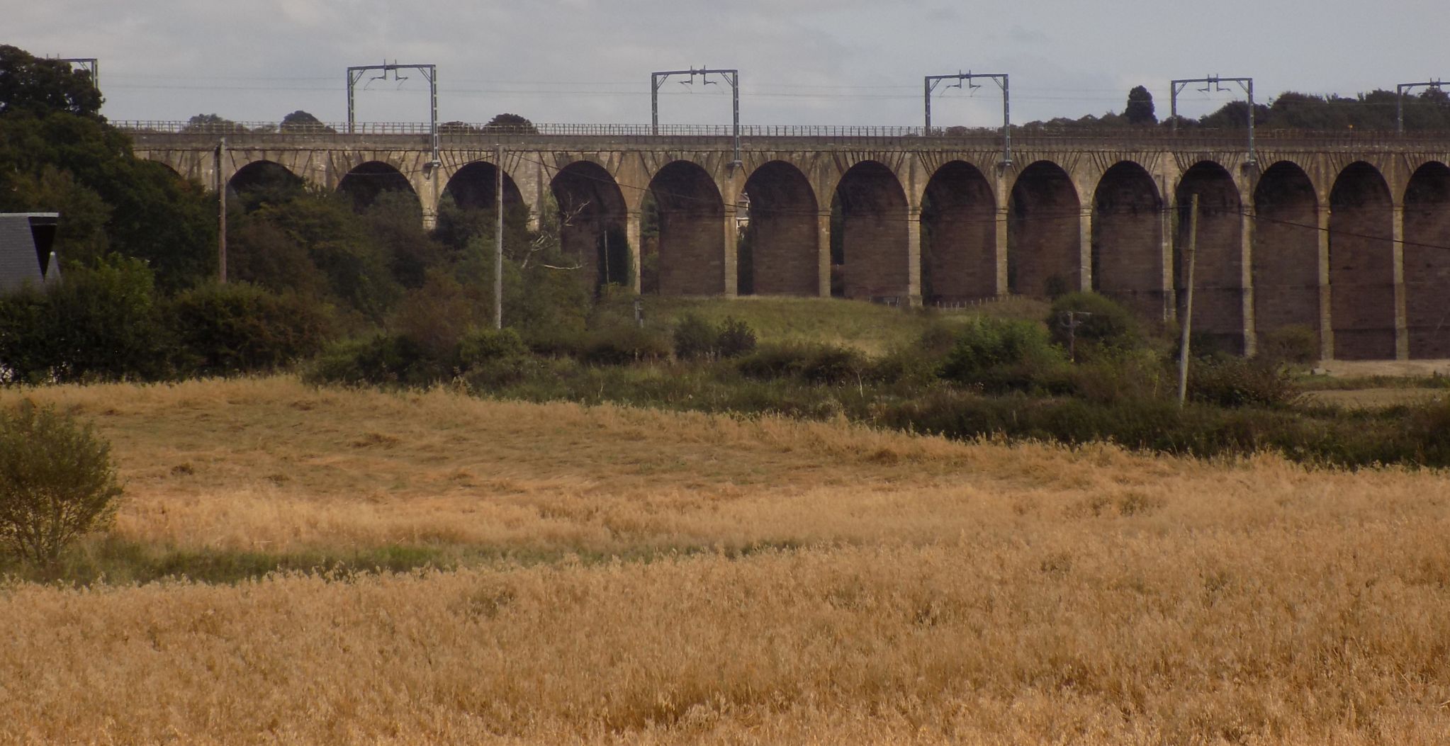
The Avon Railway Viaduct The
442 yard 23 arch bridge
was built in 1839-41 The viaduct is a category "A" listed building |
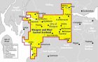
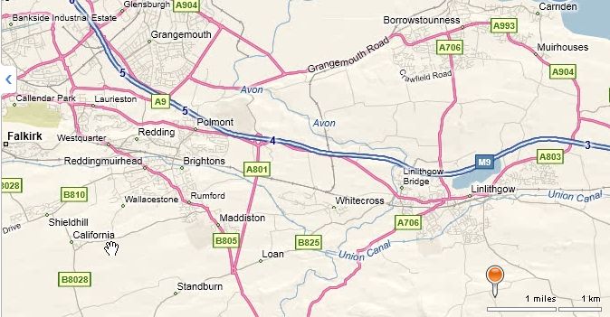 Location
map for Linlithgow
|
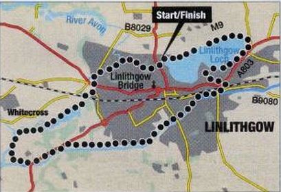 Map
of walk around Linlithgow
|
LINLITHGOW CIRCULAR WALK - ROUTE DESCRIPTION:
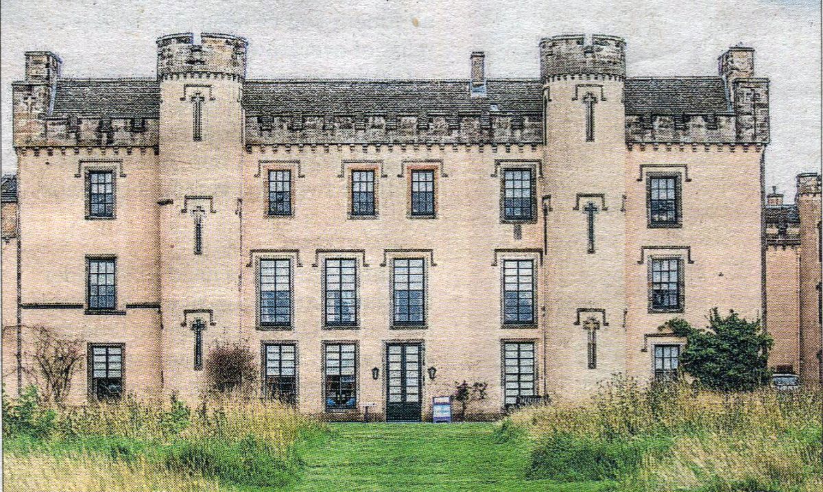 House of the Binns
|
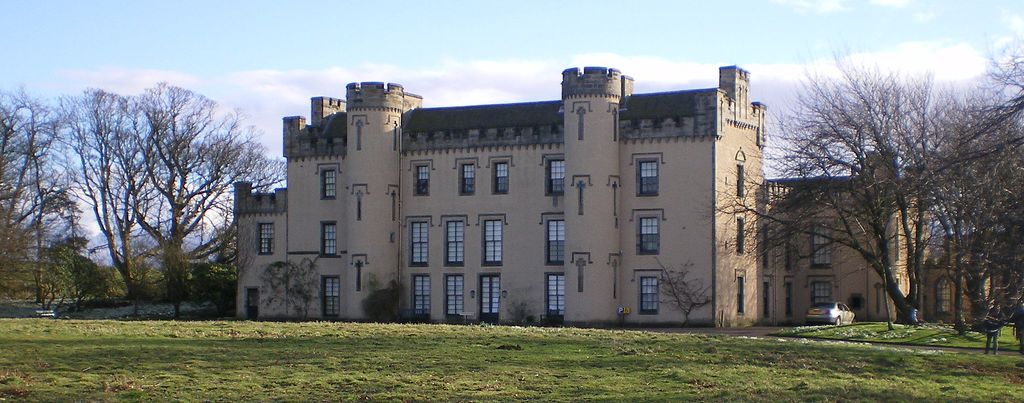 House of the Binns
|
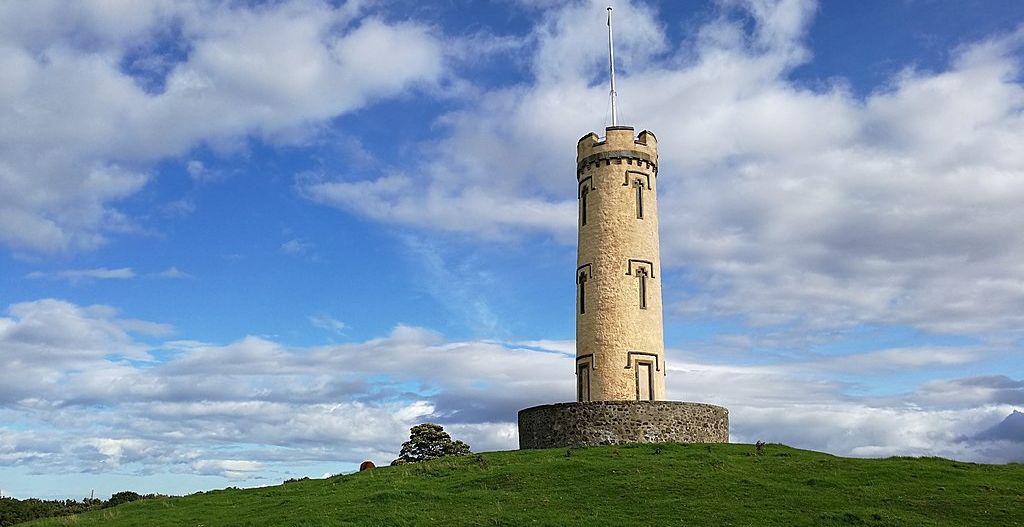 Tower at the House of the Binns
|
The House of the Binns provides walks, views, woodlands and a fine sprinkling of history, including some ghostly legends.
STORY QF THE GARDEN:
The house was built in 1612 by Thomas Dalyell, a prosperous Edinburgh Merchant who had made his fortune at the court of James VI.
He chose to site it north of Linlithgow, on the brow of a hill overlooking the River Forth and the grounds around it were laid out in
walks and rides, with views leading down to the river.
HIGHLIGHTS:
Binns Tower stands on the hill above the house. As garden ornaments go it is pretty impressive and the view even more so, taking in
the Pentlands, the Lomond hills in Fife and all three Forth bridges.
Paths lead to the tower and also criss-cross the meadows and woodlands that cover the wider estate.
And keep a look-out for a ghostly rider on a white stallion galloping along the road that leads to the main gate.
DON'T MISS:
The house is currently undergoing renovations, however this makeover is unlikely to be as extensive as the one that took place in 1633 when
elaborate plaster ceilings were commissioned for a visit by King Charles I.
But even when closed, the house provides an anchor for the designed landscape, which straddles both sides of the hill.
The original walled garden fell into disuse many years ago and the outline of the formal garden in front of the house
can still be seen on the ground.
ANYTHING ELSE TO LOOK OUT FOR:
The Sergeant’s Pond is where the Devil is reputed to have thrown a card table after an ill-fated game with “Bluidy Tam”, the
infamous General Tam Dalyell, who suppressed the Covenanters following the Pentland Rising in 1666 and founded the Royal Scots Greys.
During a drought in 1878 the pond dried up and a card table was found in its depths. The table was restored and returned to the house.
BEST TIME TO VlSlT:
In winter the views across the Forth are spectacular and in January, swathes of snowdrops appear beneath the trees.
These are followed by daffodils and in early summer the meadows are full of wildflowers.
RECOMMENDATIONS IN THE AREA:
The shallow waters of Linlithgow Loch provide food and habitat for ducks, swans and many other birds.
A path leads around the circumference and can be walked in less than an hour.
Two islands of the loch are believed to be the remains of crannogs, which early settlers constructed as places of safety more
than 5,000 years ago.
DIRECTIONS:
House of the Binns is near Old Philipstoun, on the A904 from the Forth Road Bridge to Linlithgow.
DETAILS:
The estate is open daily from 9am-7.30pm.
Entrance to the grounds is free.
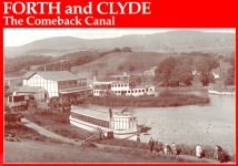
 :: Forth
&
Clyde Canal Gallery
:: Forth
&
Clyde Canal Gallery 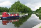
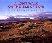
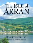
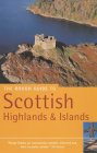
Glencoe | Ben Nevis | Knoydart | Isle of Skye | Isle of Arran | The West Highland Way
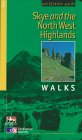
The Eastern Highlands | The Central Highlands | The Southern Highlands | The NW Highlands