  |
The Scottish HighlandsMeall an t-Seallaidh
|
  |
| |
The Scottish HighlandsMeall an t-Seallaidh
|
|
 Parish
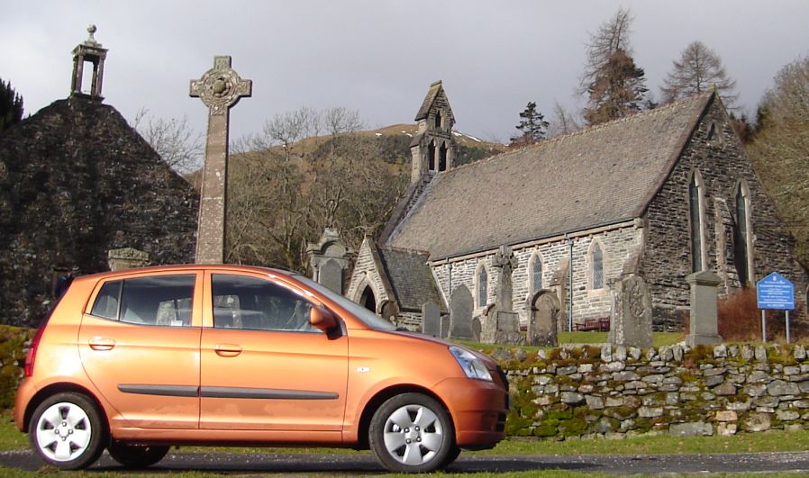
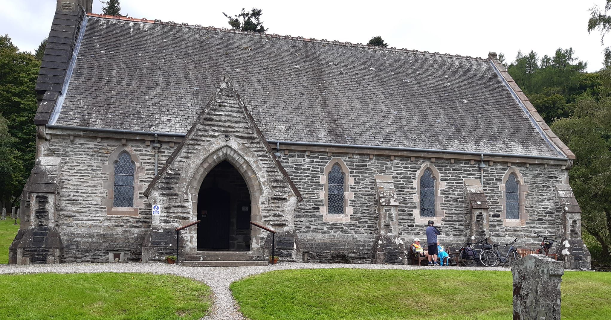
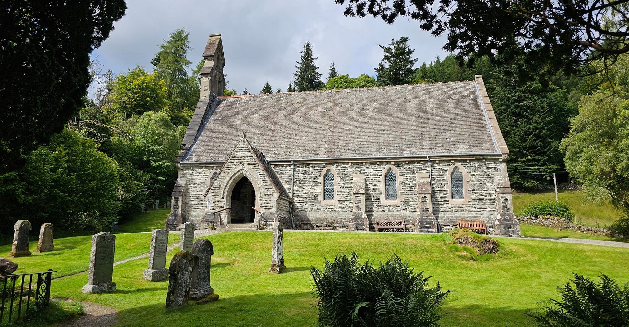
Church at Balqhuidder ( built 1855 )
Balquhidder is associated with the exploits of Rob Roy MacGregor who died there in 1734. His grave is in the local kirkyard. |
 Parish
Church at Balqhuidder ( built 1855 )
|
 Parish
Church at Balqhuidder ( built 1855 )
|
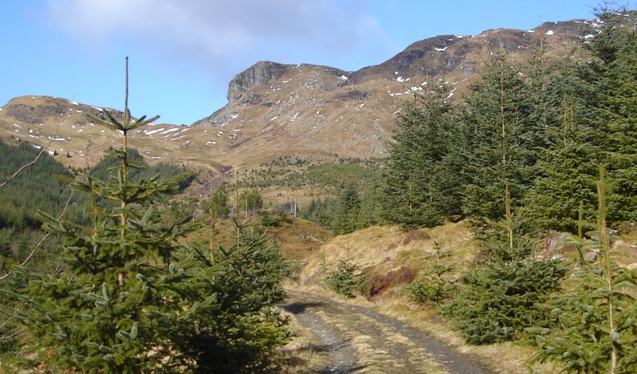 Cliffs
of Meall an Fhiodhain
from Kirkton Glen |
 Cliffs
of Meall an Fhiodhain
from Kirkton Glen |
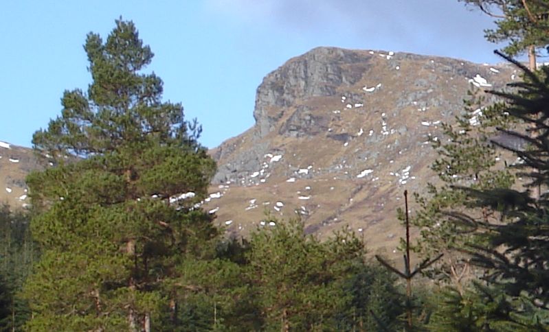
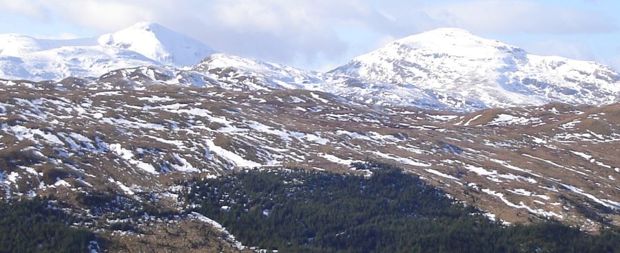
 Carn
Chreag
from Kirkton Glen |
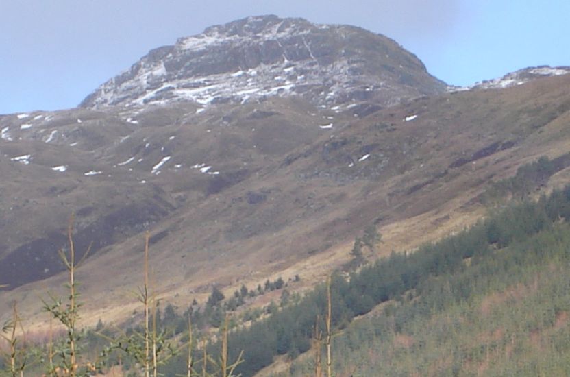
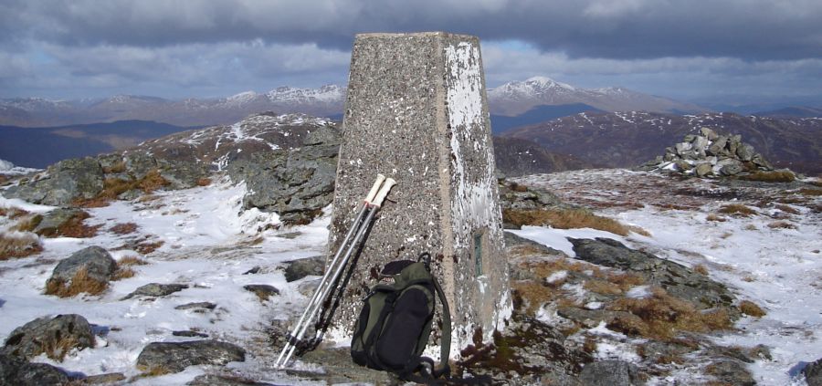
 Meall an
t-Seallaidh
( 2794ft, 852m )
from Kirkton Glen |
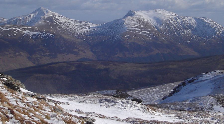
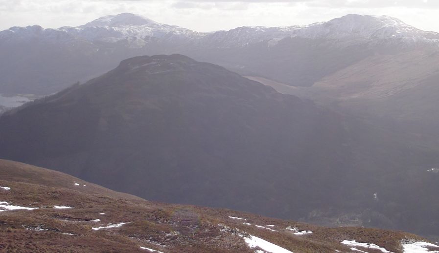
 Stob
Binnein and Ben More
from Meall an t-Seallaidh |
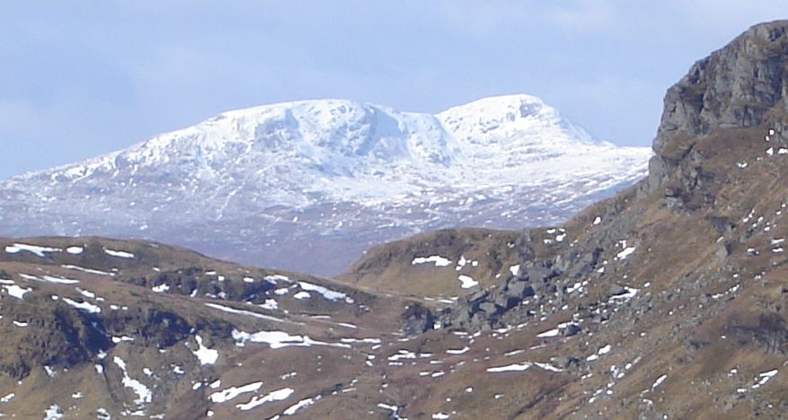 Ben Challum
from Meall an t-Seallaidh |
 |
 |
 |
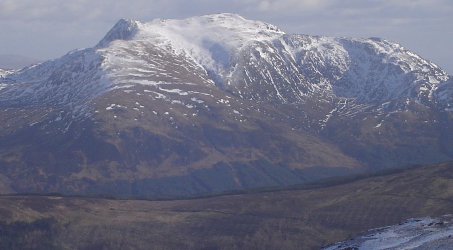
 Ben Ledi and Ben Vane
from Meall an t-Seallaidh |
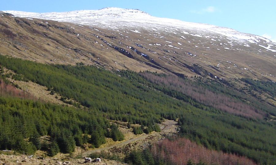
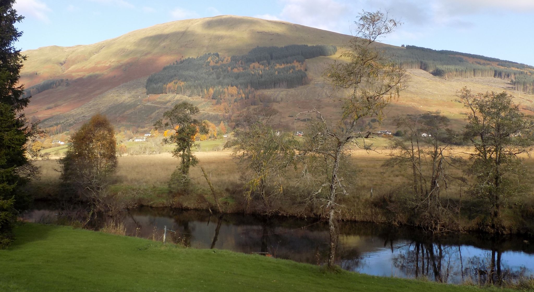 Corbett
Meall an
t-Seallaidh beyond River Balgav
|
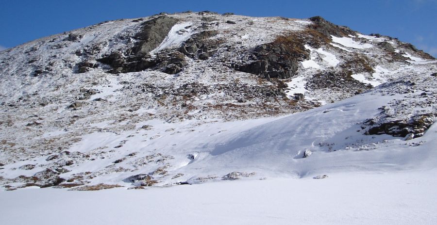 Carn Chreag on
descent
from Meall an t-Seallaidh |
 Location
Map for Meall an
t-Seallaidh
|
|
 Location Map for Meall an
t-Seallaidh
|
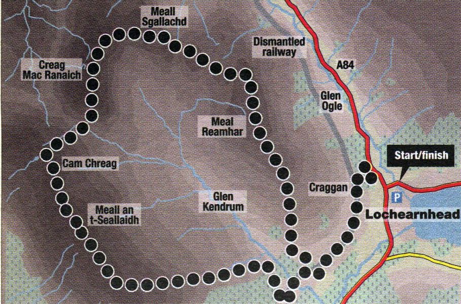 Route Map for
Creag Macranaich
and Meall an t-Seallaidh |
MEALL an t-SEALLAIDH and CREAG MACRANAICH - ROUTE DESCRIPTION:
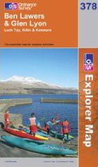
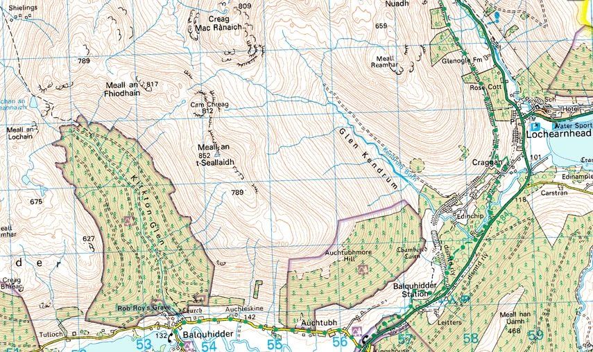
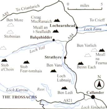
Location: Lochearnhead, Stirlingshire
Map: OS Landranger 51 ( GR542234 )
Distance: 11 miles ( 18km )
Time: 6 hours 30 minutes
Terrain: tracks and open hillside
The high ground between Lochearnhead and Balquhidder is dominated by two corbetts, Meall an t-Seallaidh and its near neighbour Creag Mac Ranaich.
The former is the higher and bulkier of the two, but the latter is rockier and more interesting.
Both hills are easily climbed from the high point on the vehicle track up Glen Klendrum which divides them, but this is a dull route for summit-tickers in a hurry.
Hillwalkers wanting a bit more exercise and mountain environment can combine the two peaks into a longer and more interesting round.
Park at the large car park on the A85 at the eastern end of Lochearnhead and walk west to the village centre. Cross over and turn right towards Glen Ogle, to
reach Lochearnhead Scout Station at the north end of the village and a sign for the Glen Ogle Trail, and ascend the path to the line of the old railway.
Cross the old railway line and straight up to a rickety gate in the deer fence. Go through this with care and ascend the hillside - which has extensive views over Loch Earn
- to gain a fence, which in turn leads to the top of craggy Meall Reamhar and views north to Meall nan Tarmachan and Ben Lawers.
Creag Mac Ranaich’s craggy corrie lies ahead and slightly west, but a more circumspect line needs to be taken to avoid the worst of the peat hags and boggy ground.
Sticking as much as possible to the high ground, follow the old fence line round and through a boggy section to firmer ( if rougher ) ground to arrive at Meall Sgallachd, Mac Ranaich’s eastern nose.
Skirt the rocky front of Meall Sgallachd to the east and north to gain a small cairn on the top, from where a broader undulating ridge with views north-west to Stob Binnein and Ben More leads to the
top of Creag Mac Ranaich.
From the summit, follow fence posts, then steep grass, down past crags to the Glen Klendrum track.
Cross over and ascend the slope beyond to gain the broad ridge north of Cam Chreag; pass over this to the summit of Meall an t-Seallaidh.
Descend the broad south-east ridge to near its end, then follow the forest edge down into Glen Klendrum to a track which leads through the forest to a field.
Cross the field to the far right-hand corner where a gate gives access to the old railway, and follow this left.
Keep left at the next junction, passing under two bridges to arrive back at the Glen Ogle Trail path down to Lochearnhead.
 Route Map
for Meall an
t-Seallaidh and Creag
Macranaich
|
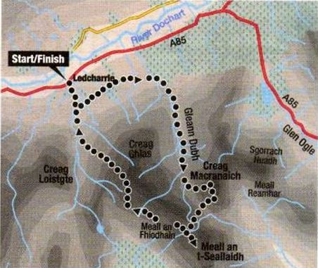
MEALL an t-SEALLAIDH and CREAG MACRANAICH - ROUTE DESCRIPTION 2: