  |
City of Glasgow Neilston Pad
|
  |
| |
City of Glasgow Neilston Pad
|
|
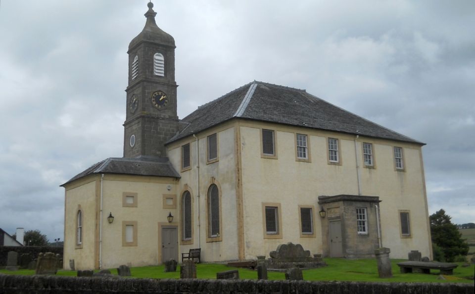
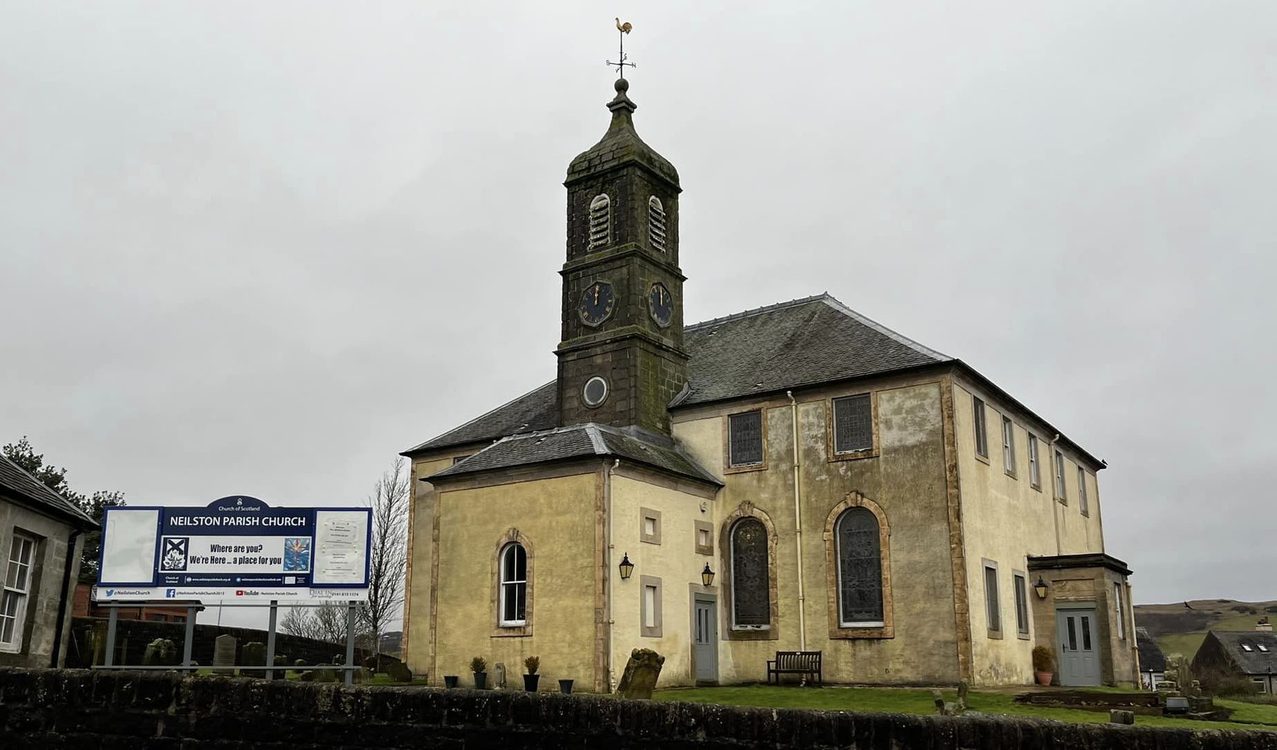
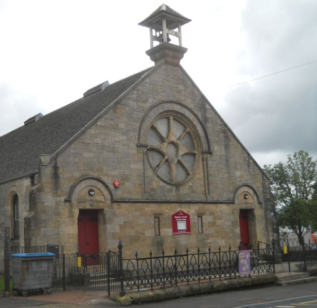 Church in
Neilston
|
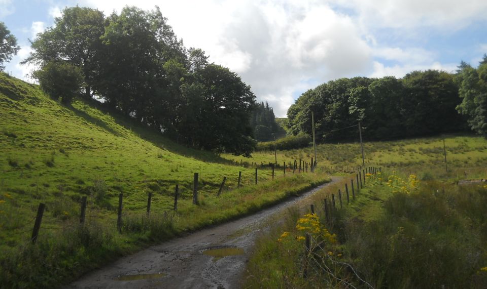 Track
to Craig of Neilston Farm
|
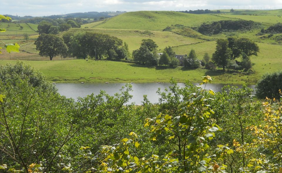
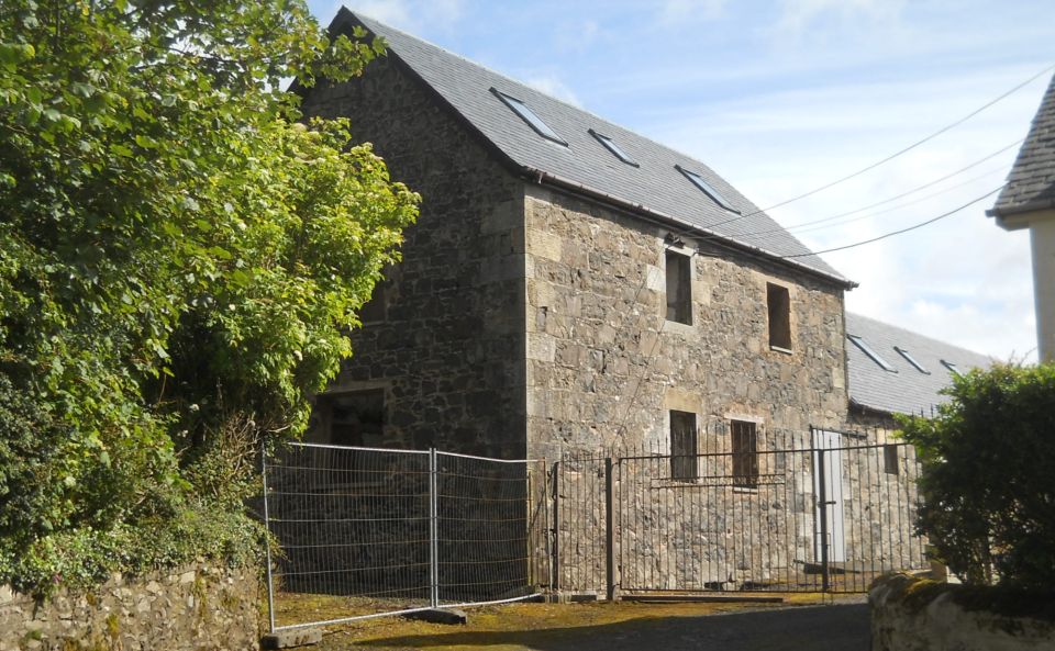 Craig
of Neilston Farm
House
|
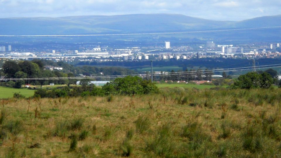 Glasgow
beneath the Campsie
Fells
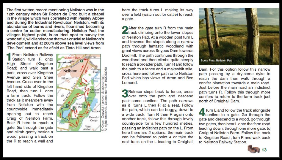
from Neilston Pad |
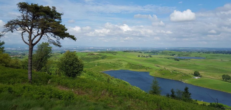
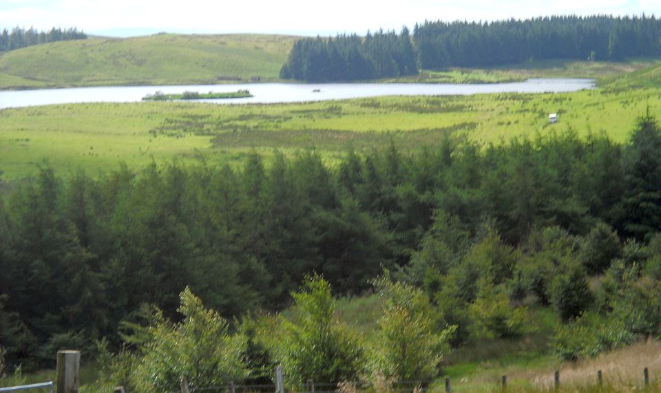
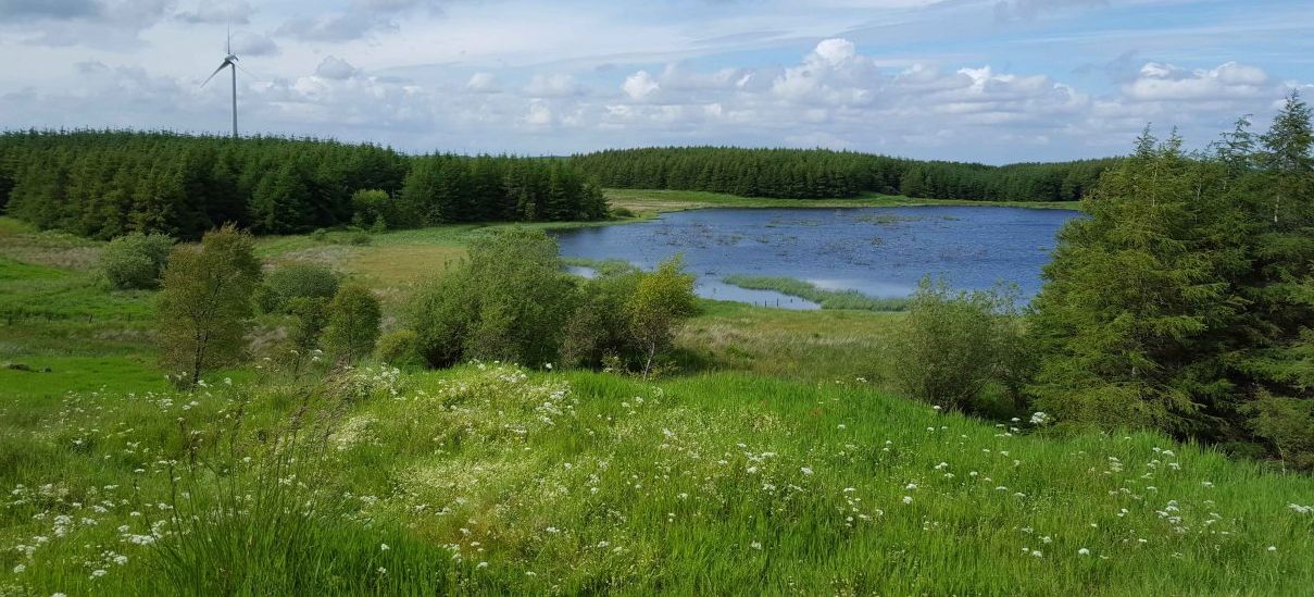
 Snypes
Reservoir
from Neilston Pad |
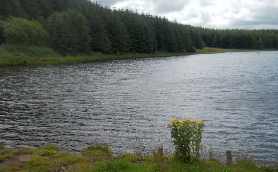
 Snypes
Reservoir
from Neilston Pad |
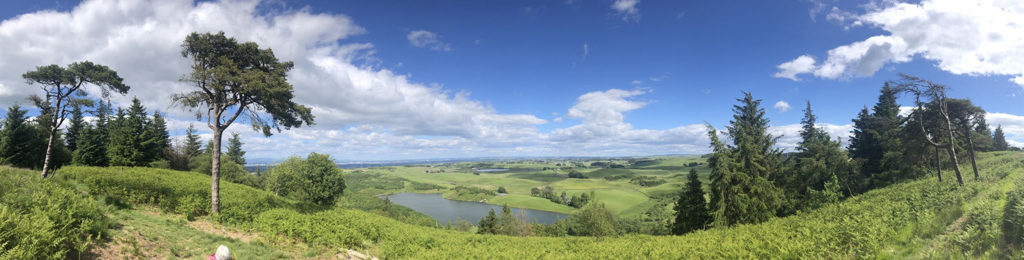 Snypes
Reservoir
from Neilston Pad |
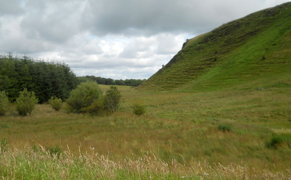
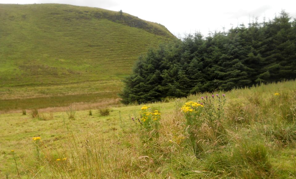
 Drumler
Craigs
from Neilston Pad |
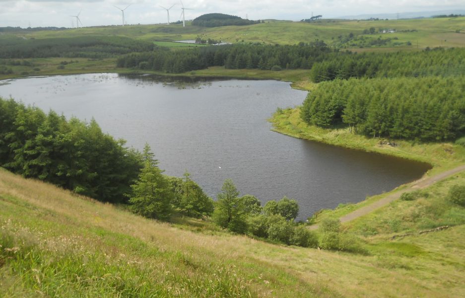
 Harelaw
Reservoir
from Neilston Pad |
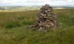
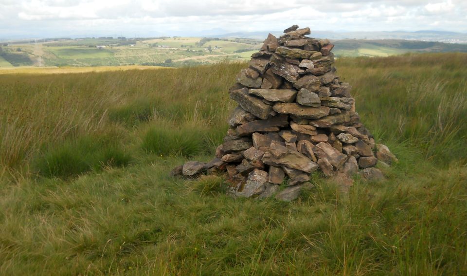 Cairn on
Neilston Pad
|
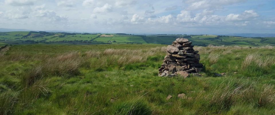 Cairn on
Neilston Pad
|
 Craighall
Reservoir
from Neilston Pad |
 Craighall
Reservoir
|
 Craighall
Reservoir
|
 Neilston
Pad
|
 Neilston
Pad
|
 Neilston
Pad
|
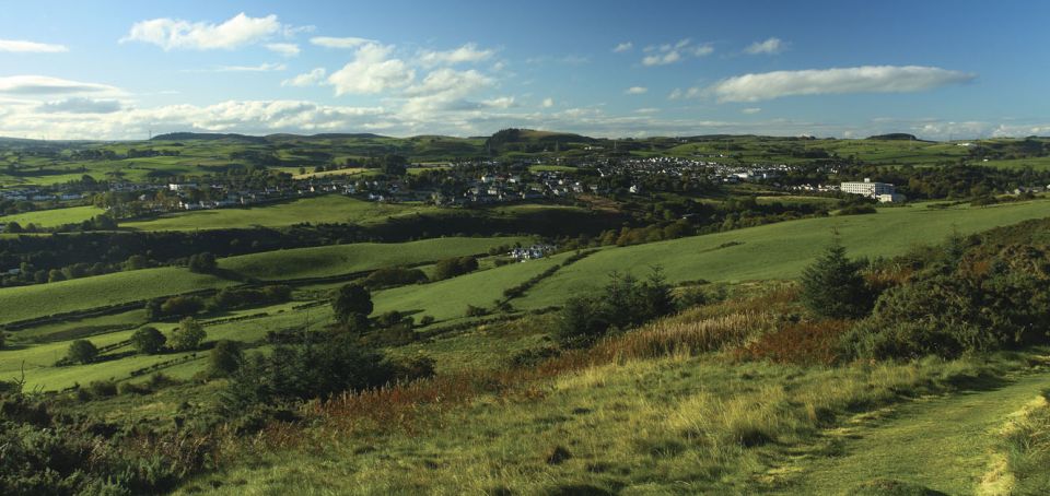
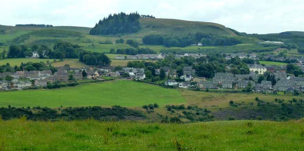 Neilston
Pad
above Neilston Village |
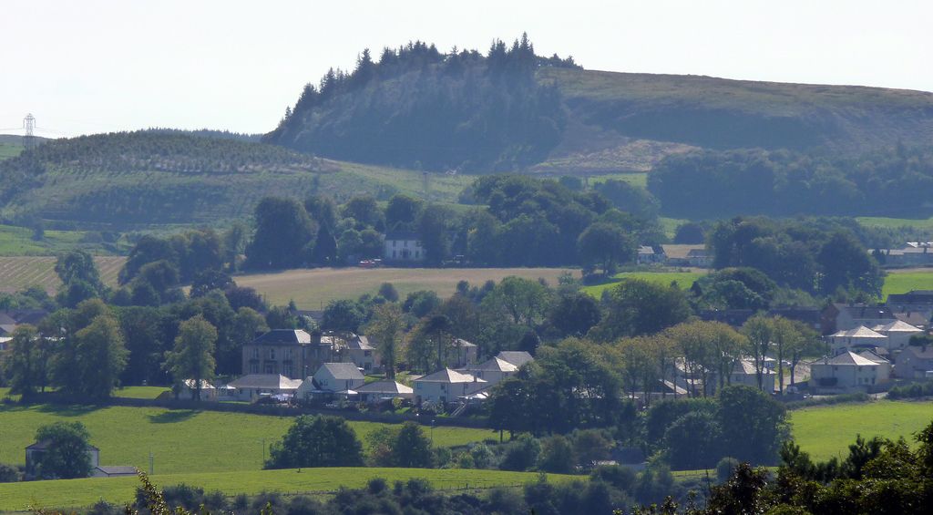 Neilston
Pad
|
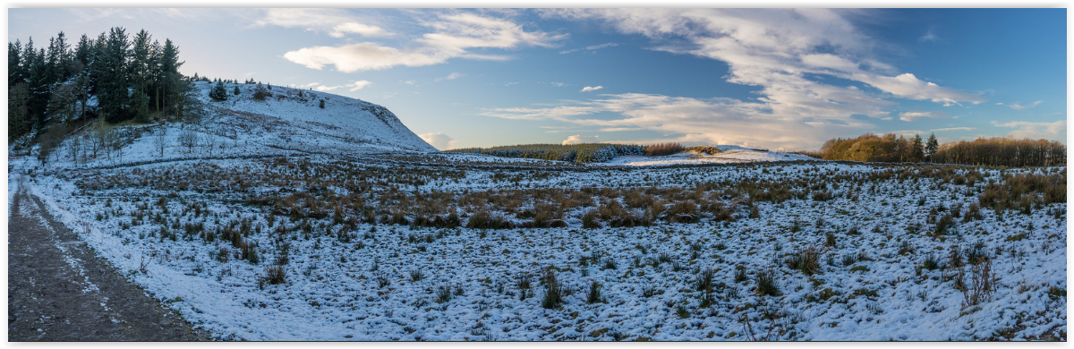 Neilston
Pad in winter
|
 |
 |
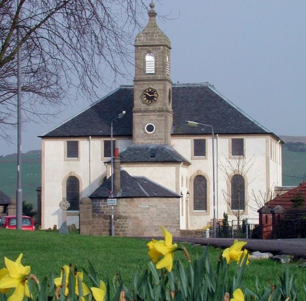 |
 Church in Neilston
|
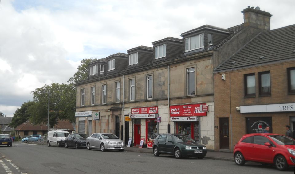 Shops in
Neilston
|
 Neilston
|
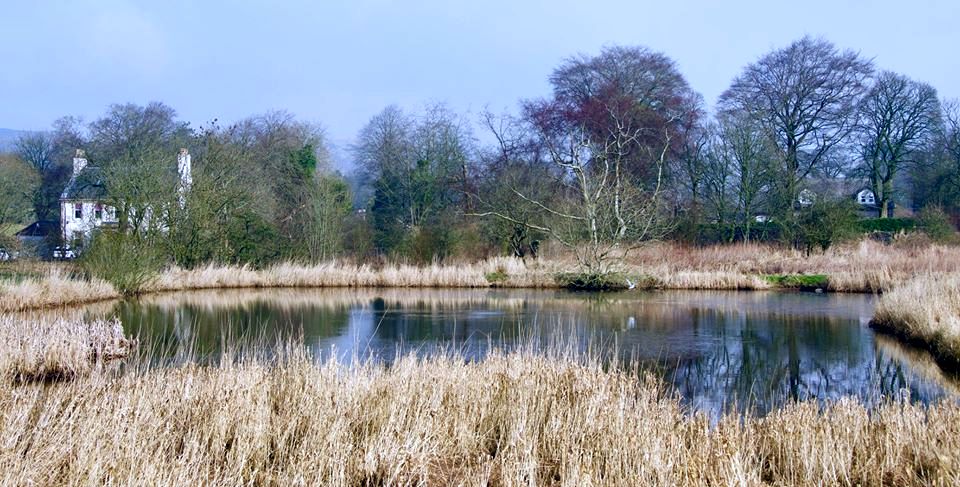 Pond in
Neilston
|
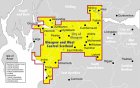
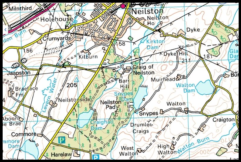 Map of
Neilston
|
 Map of
Neilston
|
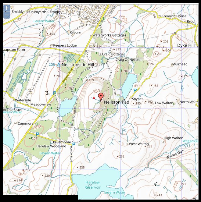
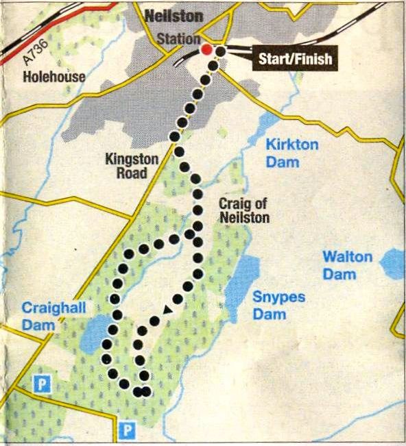 Map of Walk around
Neilston Pad
|
NEILSTON PAD - ROUTE DESCRIPTION:
 Route Description
and Map of Walk around
Neilston Pad
|
 ::
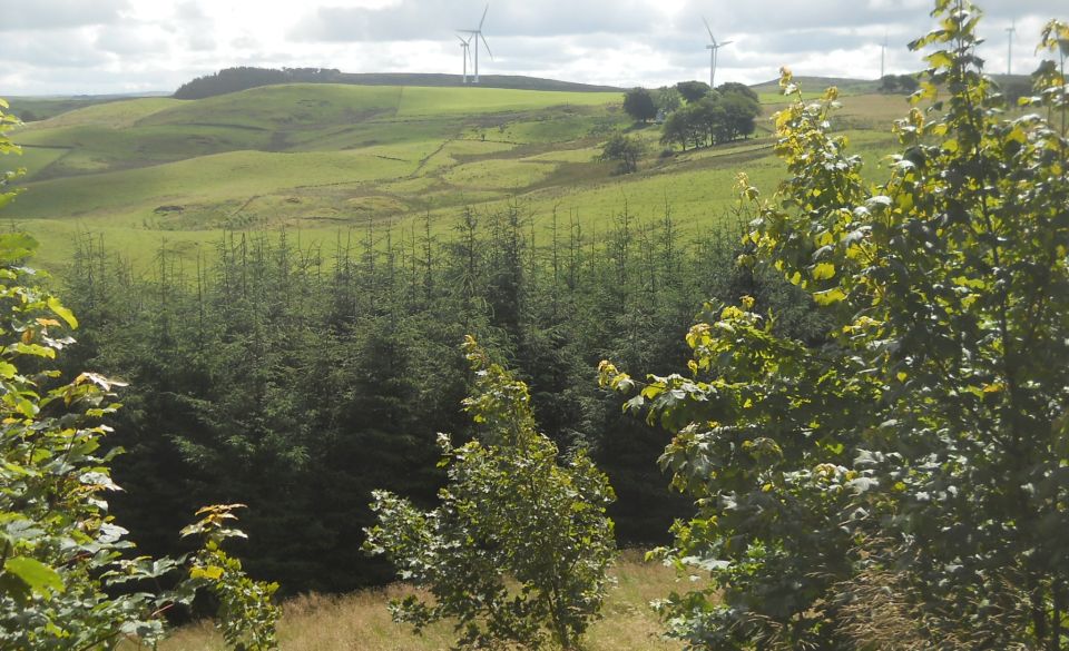
Whitelee
Windfarm
Gallery
::
Whitelee
Windfarm
Gallery 
Glencoe | Ben Nevis | Knoydart | Isle of Skye | Isle of Arran | The West Highland Way
The Eastern Highlands | The Central Highlands | The Southern Highlands | The NW Highlands