  |
Antonine Wall Bar Hill & Croy
Hill
|
  |
| |
Antonine Wall Bar Hill & Croy
Hill
|
|
Photographs of the Ruins of the Roman Fort
and the Antonine Wall at Barr Hill
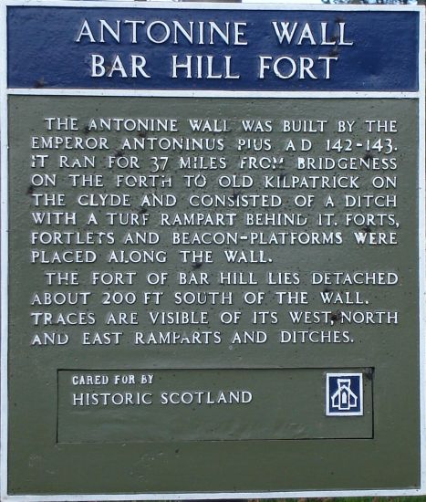
Sign
at Roman Fort on Barr Hill at Twechar |
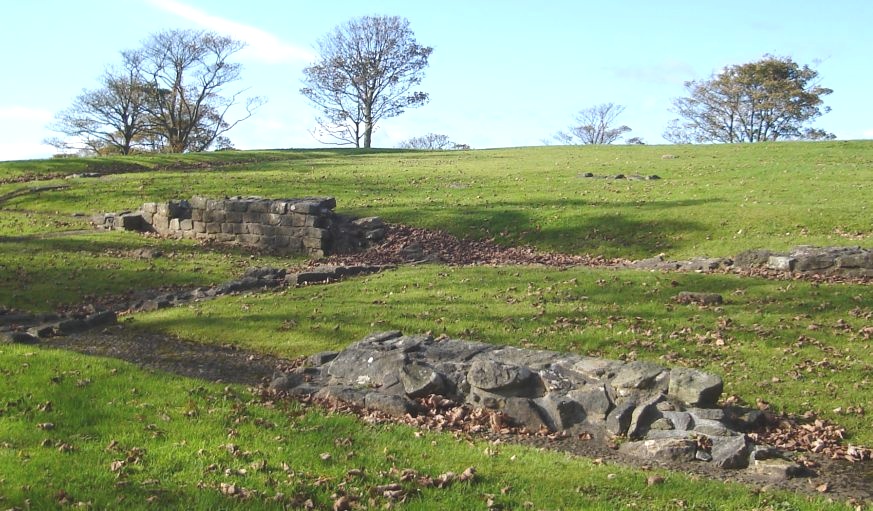
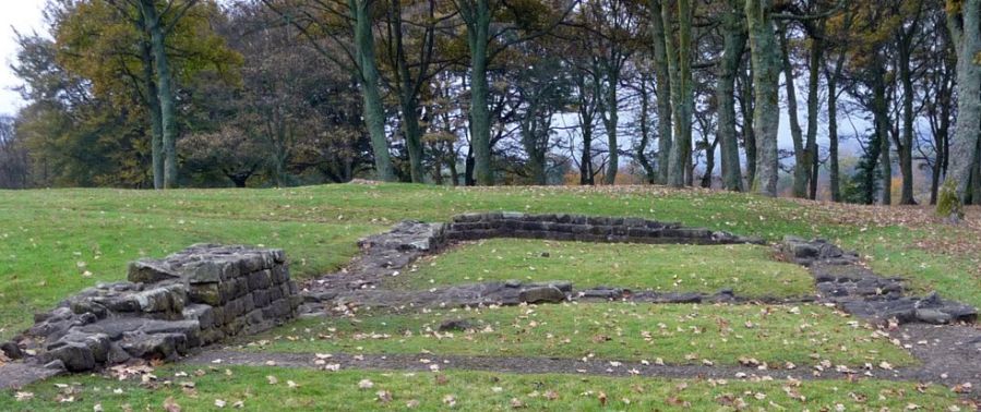
Ruins of Roman Fort on Barr Hill at Twechar |
Ruins of Roman Fort on Barr Hill at Twechar |
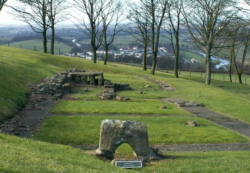
Ruins of Roman Fort on Barr Hill at Twechar |
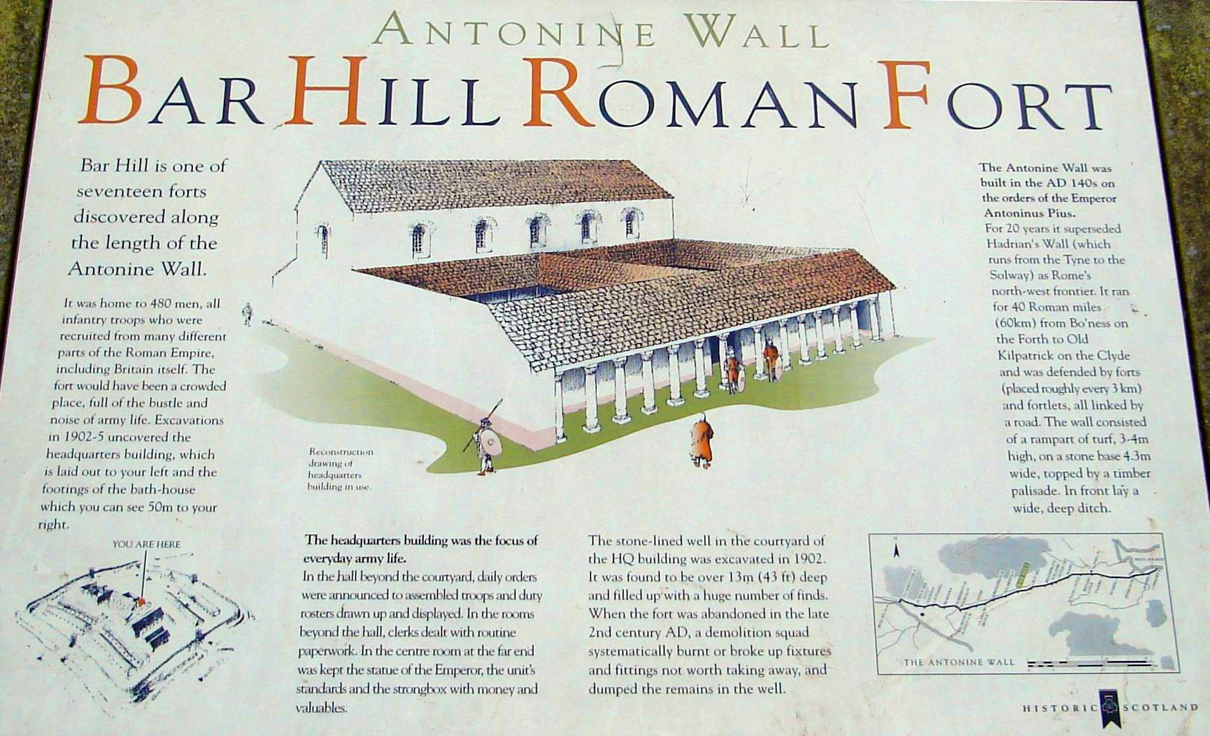
Information Board for Roman Fort on Barr Hill at Twechar ( Click here or on image for large format version ) |
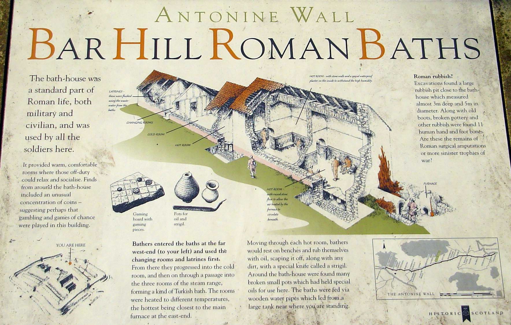
Information Board for Roman Fort on Barr Hill at Twechar |
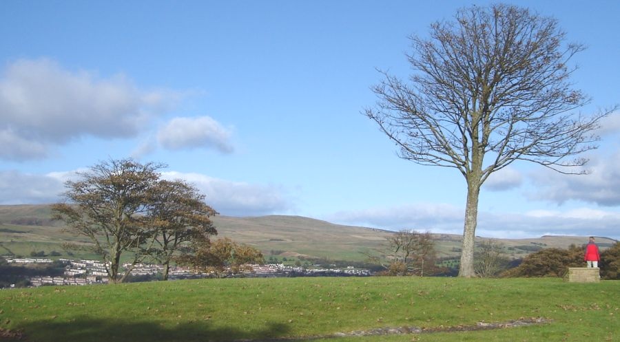
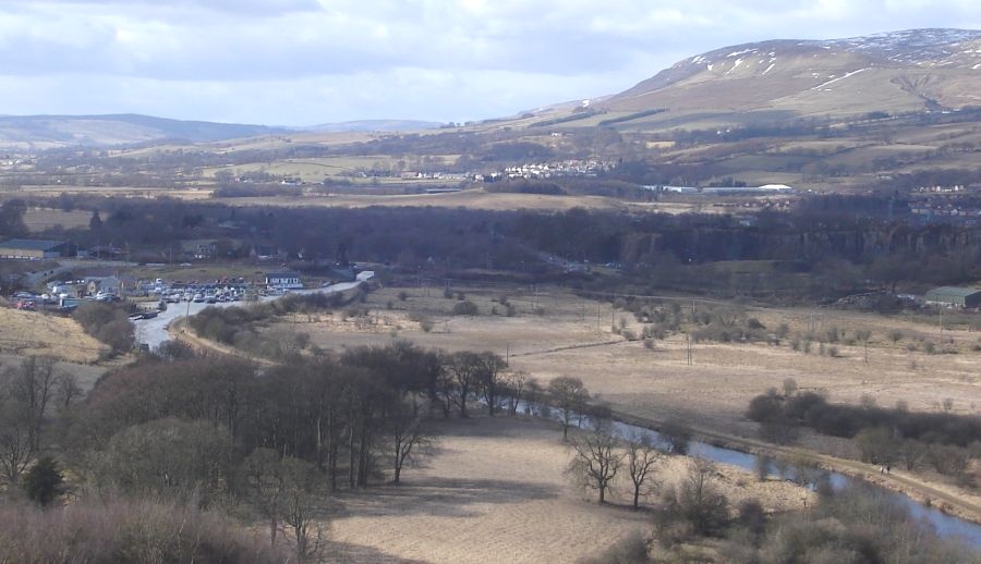
Town
of Kilsyth and Kilsyth
Hills from Roman Fort on Barr Hill |
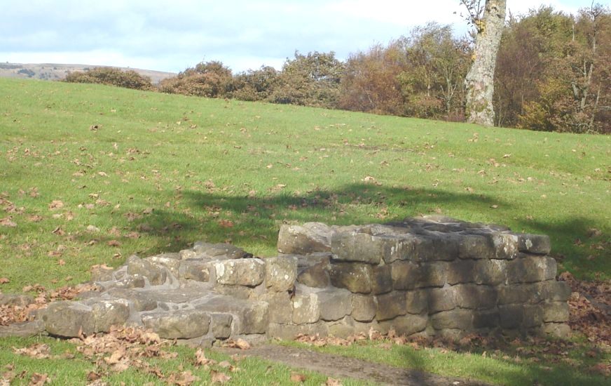
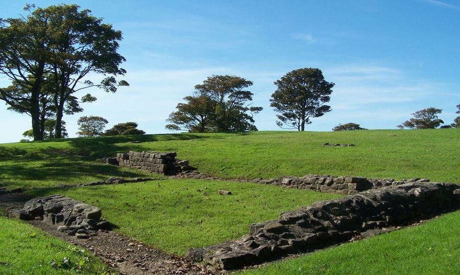
Remains
of Roman Fort on Barr Hill at Twechar |
Remains
of Roman Fort on Barr Hill at Twechar |
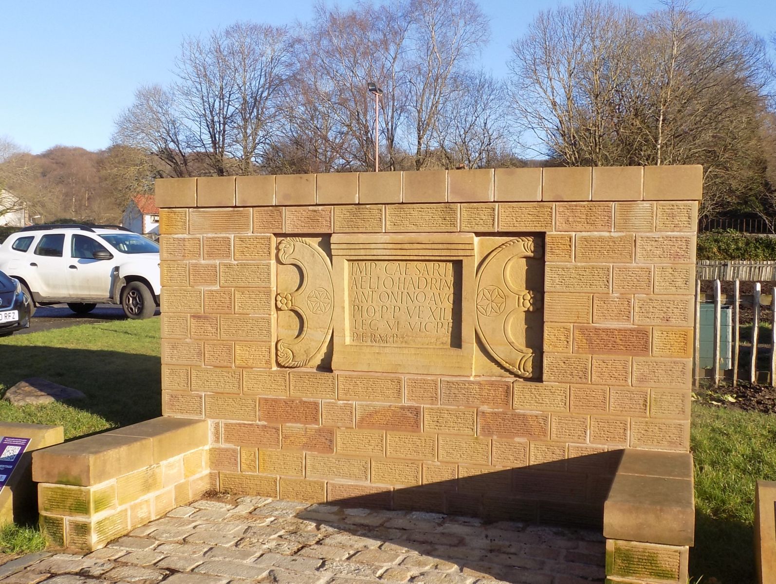
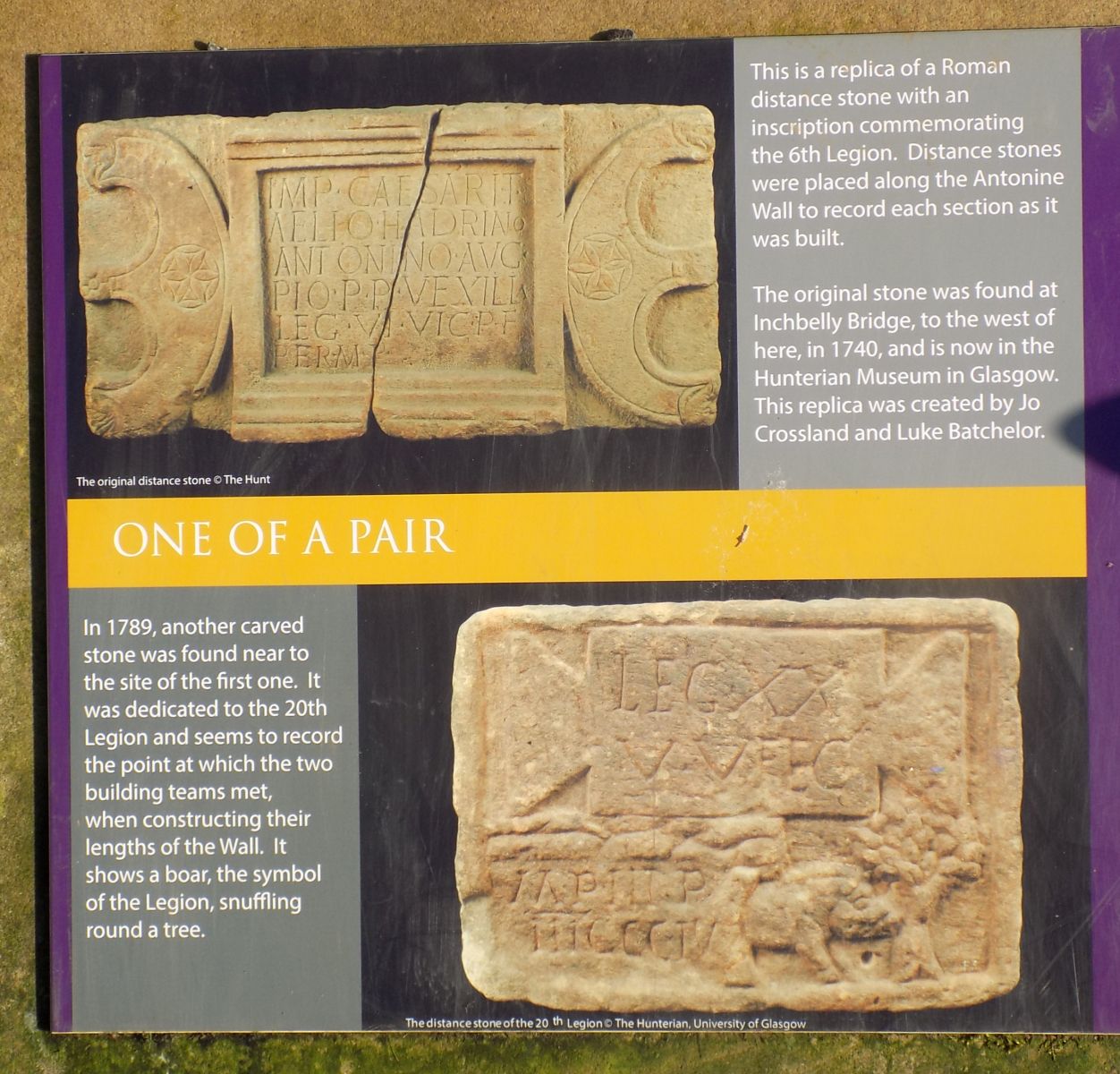
 Distance marker stone on the Antonine Wall |
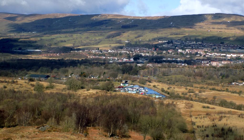
Village of Twechar from site of Roman Fort on Barr Hill |
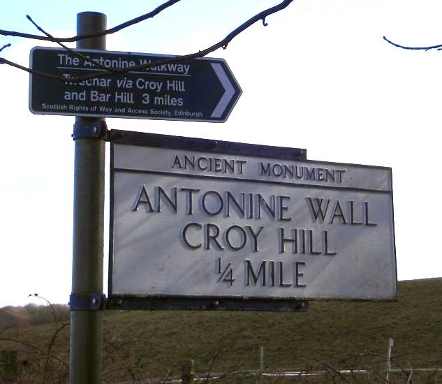
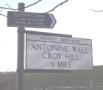
Signpost
to Croy Hill |
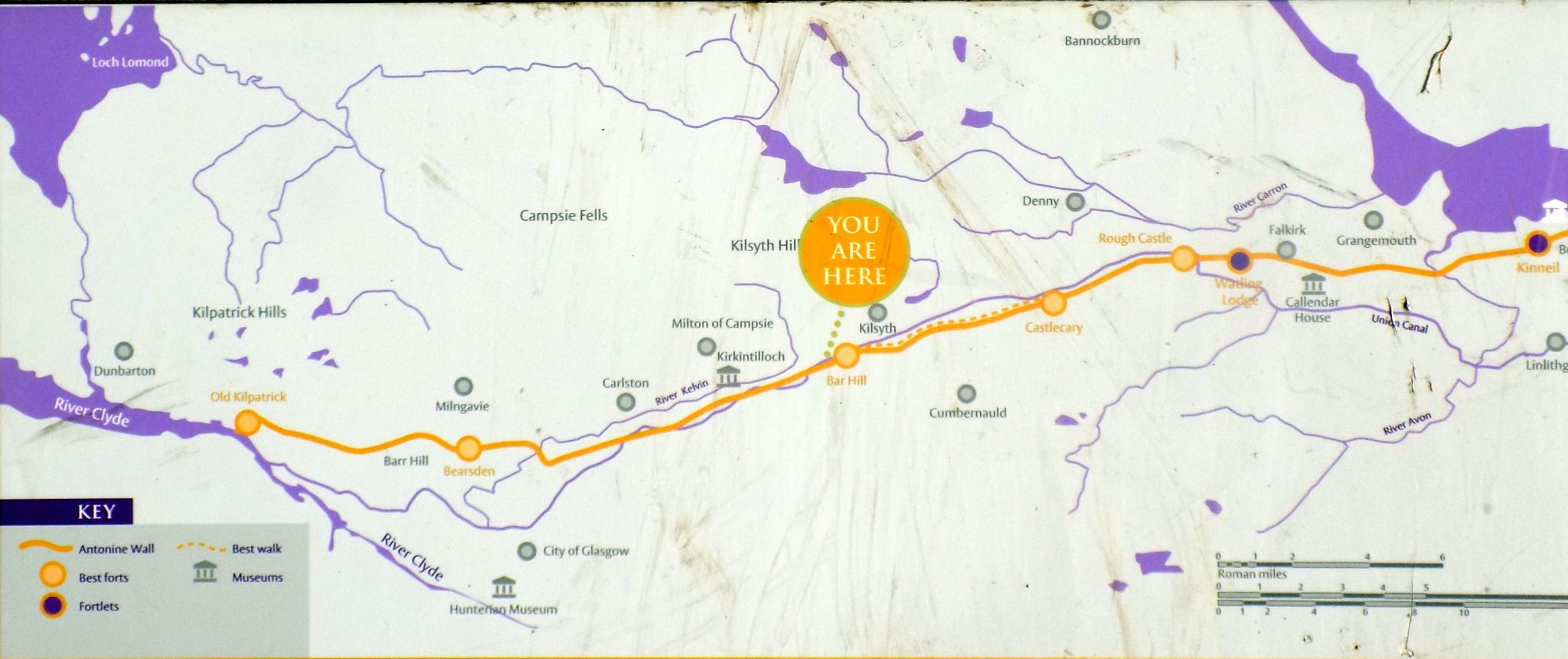
 Map of the Antonine Wall at Croy Hill |
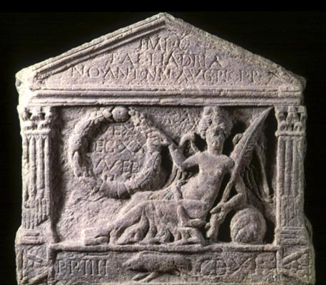
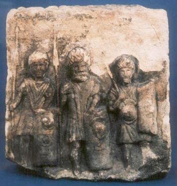 Roman Gravestone on Croy Hill |
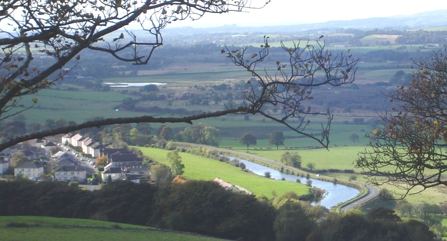
 Auchinstarry Basin
on Forth
& Clyde Canal and village of Kilsyth from route of Antonine Wall at Croy Hill |
Auchinstarry Basin
on Forth &
Clyde Canal and
Kilsyth from Croy Hill |
|
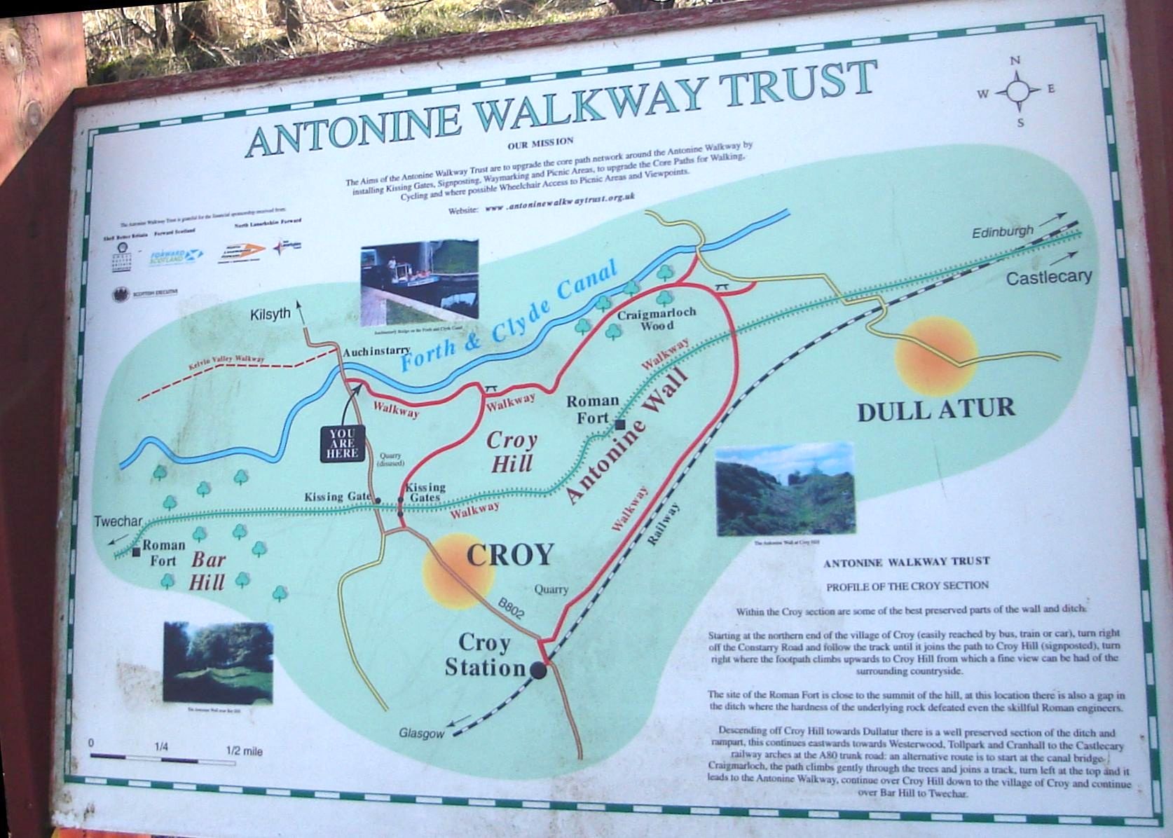
Map
of the Antonine Wall around Croy Hill |
|
Map
of the Antonine Wall at Cumbernauld |
 |
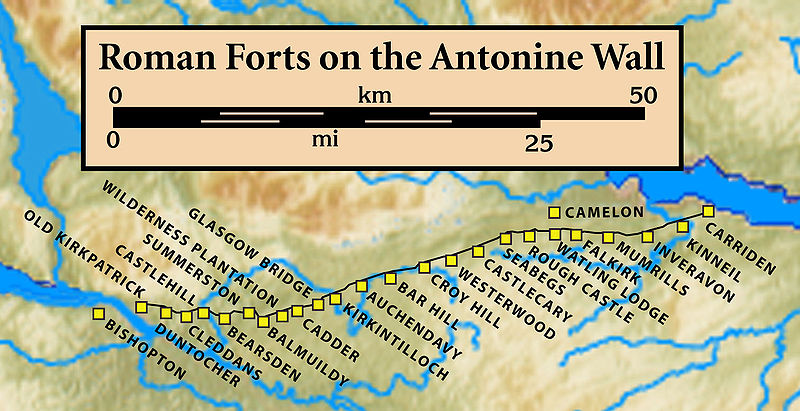 Map of
Roman Forts
on the Antonine Wall |
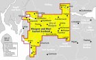
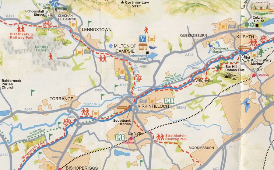
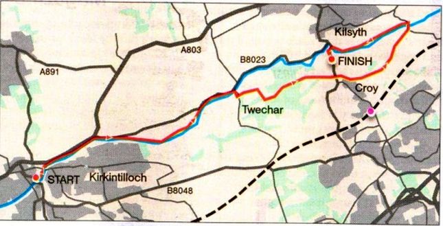 Route
Map - Kirkintilloch to
Kilsyth
|
ANTONINE WALL - KIRKINTILLOCH to KILSYTH - ROUTE DESCRIPTION:
 :: Forth
& Clyde Canal Gallery
:: Forth
& Clyde Canal Gallery 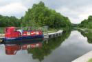
Glencoe | Ben Nevis | Knoydart | Isle of Skye | Isle of Arran | The West Highland Way
The Eastern Highlands | The Central Highlands | The Southern Highlands | The NW Highlands