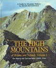
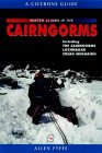
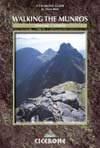
SGURR THUILM
& SGURR nan COIREACHAN - ROUTE DESCRIPTION:
Linked by a long
multi-topped ridge, Sgurr nan Coireachan and Sgurr Thuilm at the head
of Glen Finnnn offer a fine round with views north across Glen Pearl to
the Rough Bounds of Knoydart.
The first section of the route follows a private road where a bike can
save your feet at the end of the day and shave about an hour off the
time.
Approaching from Fort William to the east, follow the A830 past the
Glenfinnan Monument and the NTS visitor centre and cross the bridge over
the River Finnan. Turn immediately right on to the road leading up Glen
Finnan and a car park on the right.
Follow the road up the glen to pass below the Glenfinnan Viaduct. This
380m, 20-span edifice opened in 1901 and was one of the first bridges
built entirely of concrete. An appearance in the movie "Harry Potter
And The
Chamber Of Secrets" secured the viaducts iconic status and fine weather
usually draws visitors the short distance from the car park.
Continue towards Glen Finnan Lodge and a junction where a track
signposted to Loch Arkaig leads right to Corryhully bothy.
Bikes can be left at the open bothy or at the edge of the plantation
just beyond.
Follow the track as it ascends towards the southern ridge of Sgurr nan
Coireachan. A small cascade beside the track is
passed after about 800m and 100m farther on a sign indicates a path on
the left to Sgurr nan Coireachan.
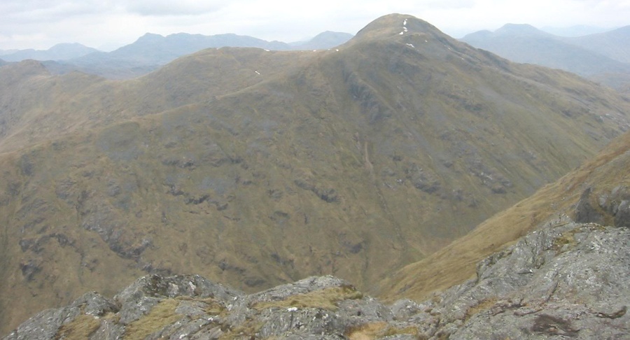
A steady ascent leads to the ridge below the rocky nose guarding Sgurr
a‘ Choire Riabhaich, which is climbed via a steep and gravelly path on
its western side. Pass over Sgurr a‘ Choire Riabhaich and on to the
summit
of Sgurr nan Coireachan, which is marked by a toppled trig point pillar
and views north to Knoydart and the distinct pointed summit of Sgurr na
Ciche and east to Loch Arkaig.
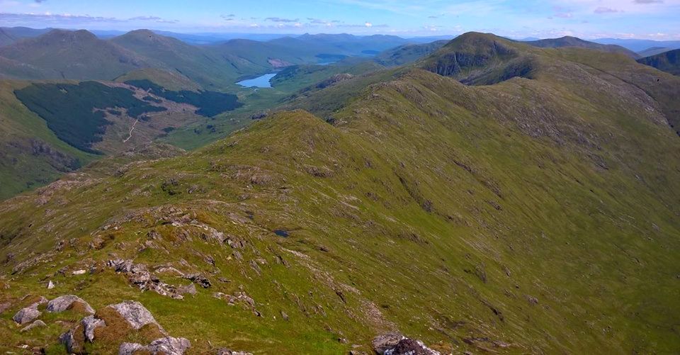
Drop east to the rocky ridge and follow this beside an old fence over
the rough and rocky tops of Meall an Tarmachain and Beinn Gharhb.
An impressively pointed unnamed summit follows then Point 858m, before
grassy slopes lead north tn the open summit of Sgurr Thuilm, the
highest point on the ridge. From here the broad ridge of Druim Coire a‘
Bheithe leads south then east, steepening and narrowing in descent to a
final southerly descent to gain the continuation of the ascent track.
It's
long and tiring on the knees and a relief to finally gain the
continuation of the Loch
Arkaig track left at the start. Follow the track back to Corryhully
and, if you have brought your bike, a steady downhill coast back to the
starting point.
Route
Description for Sgurr Thuilm
and Sgurr nan Coireachan
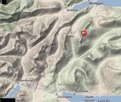
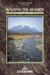
Location: The
Corryhully Horseshoe, lnverness-shire
Grade: Strenuous hill walk
Distance: 12 miles / 20km
Time: 6-8 hours
Some people call it
the Glenfinnan Horseshoe, others
call it the Corryhully Horseshoe, but the
name doesn’t really matter.
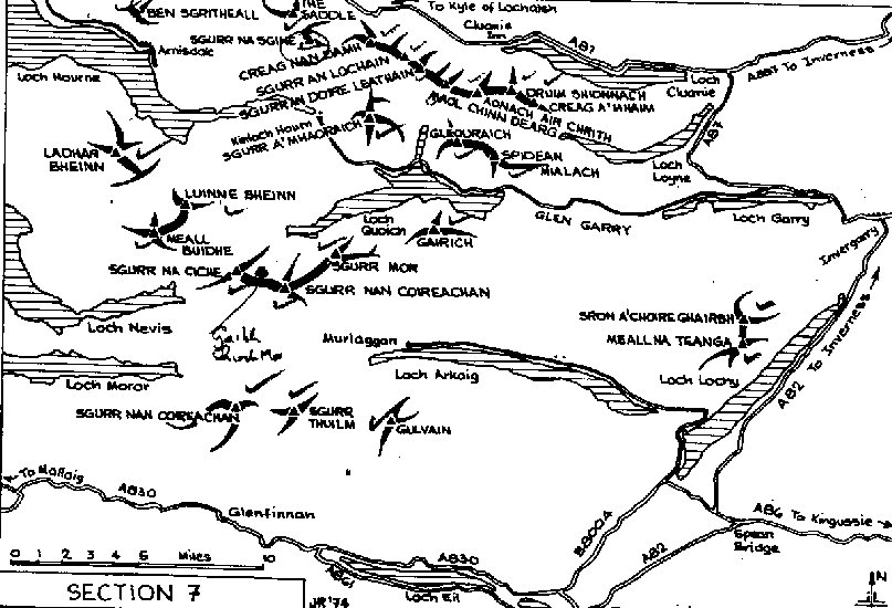
The two hills involved, Sgurr Thuilm and Sgurr nan
Coireachan
always feel remote from
Glenfinnan and its monument.
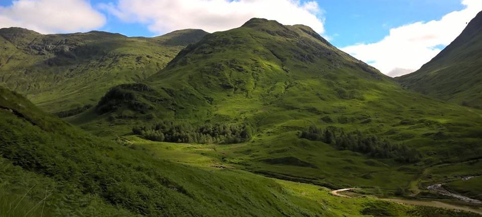
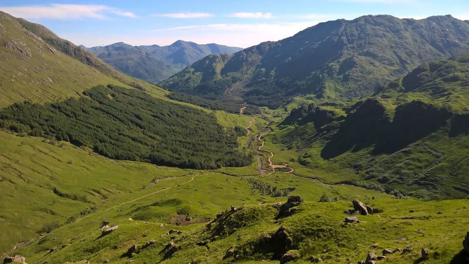
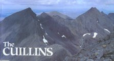
The West
Highland Railway viaduct forms a massive
gateway to
the long approach to what is some of the
roughest hill country in Scotland.
Sgurr Thuilm and Sgurr nan Coireachan could
almost be refugees from a few miles
north, for in terms of their rough and
craggy slopes, their air of remoteness and
views to the west, they are really
Knoydart hills misplaced.
There’s a small
car park just off the A830 on the west side of
the River Finnan in the shadow of the
21-span railway
viaduct, a
construction that has been claimed, with some
justification, as one of the great sights
of the West Highlands — man-made
sights, that is. Built in 1897, it
was the wor1d’s first significant
mass-concrete structure.
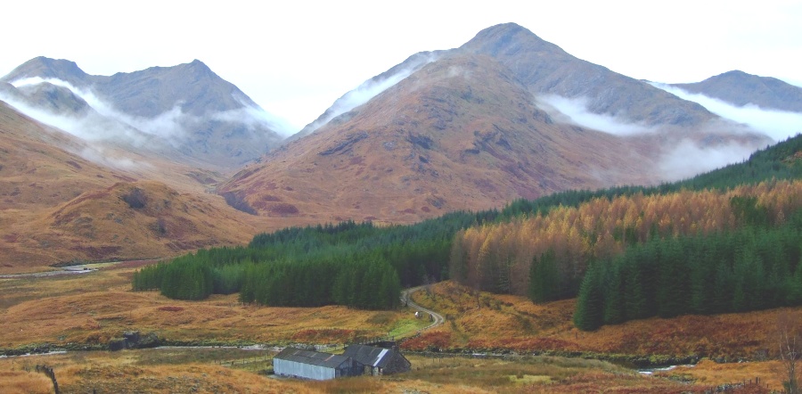
A track below
the viaduct runs north, principally to
service Glen Finnan Lodge, and continues
to Corryhully
bothy,
idyllically positioned near the stream that drains
the massive Coire Thollaidh and Coire
a’ Bheithe.
Higher up, you
leave the track and the cascading stream for
an obvious spur which leads onto a
long ridge called
Druim Coire a’
Bheithe.
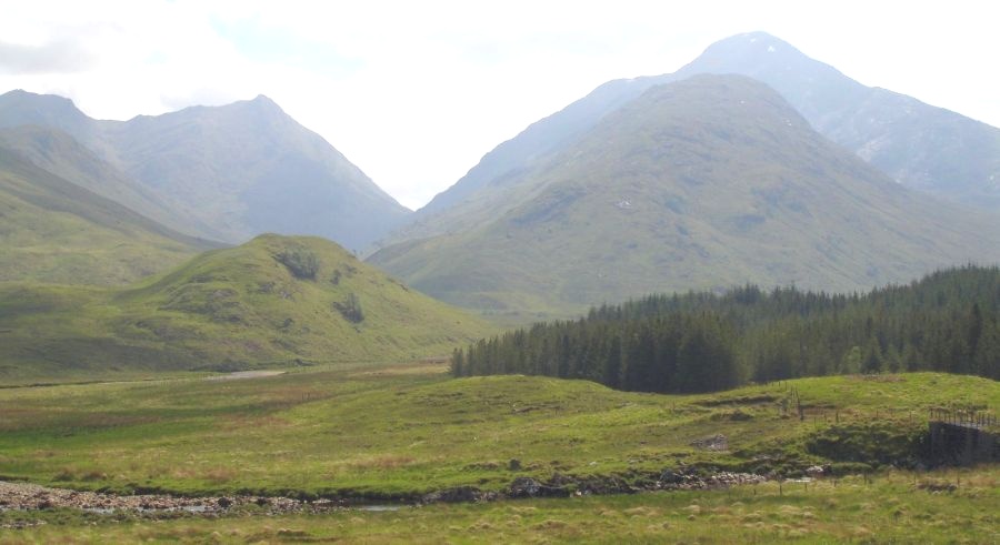
Grass-covered slopes lead to a
small subsidiary top and then north to
the summit of Sgurr
Thuilm itself,
at 963m, the Peak of the Round Hillock.
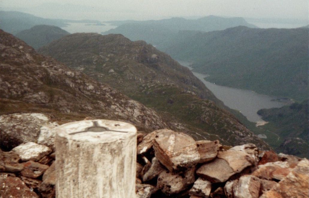
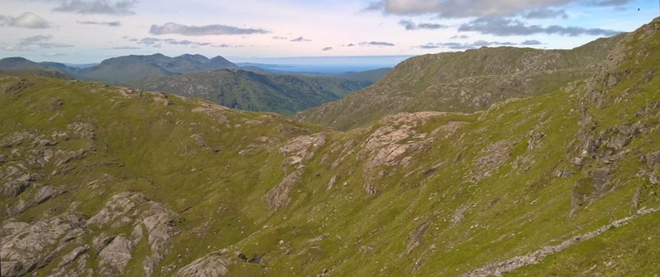
To the
north-west the Knoydart hills fill the horizon,
beyond the silver slash of lonely Loch Morar.
Further east, another silver slash, Loch
Arkaig, gives way to the Loch Quoich
hills.
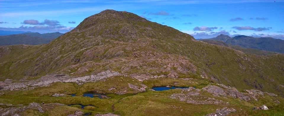
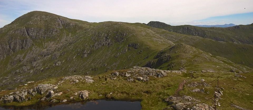
To the west is Sgurr nan
Coireachain, 956m, at the end of its wide,
knobbled ridge, dotted with lochans
and adorned by a line of old fence-posts that
runs over the spine of the intermediate
tops of Beinn Gharbh
and Meall an
Tarmachain, a rocky highway in the
clouds.
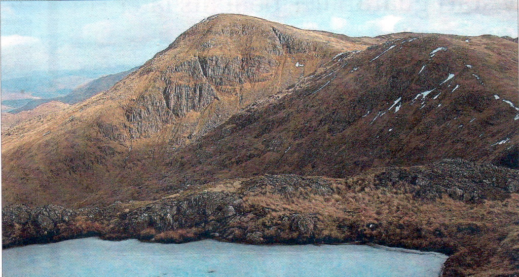
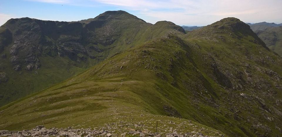
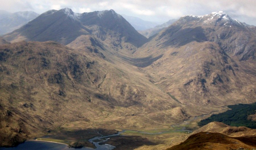
Sgurr nan
Coireachan may be slightly lower than
Sgurr Thuilm but is aesthetically a much
finer summit, the
"apex of a
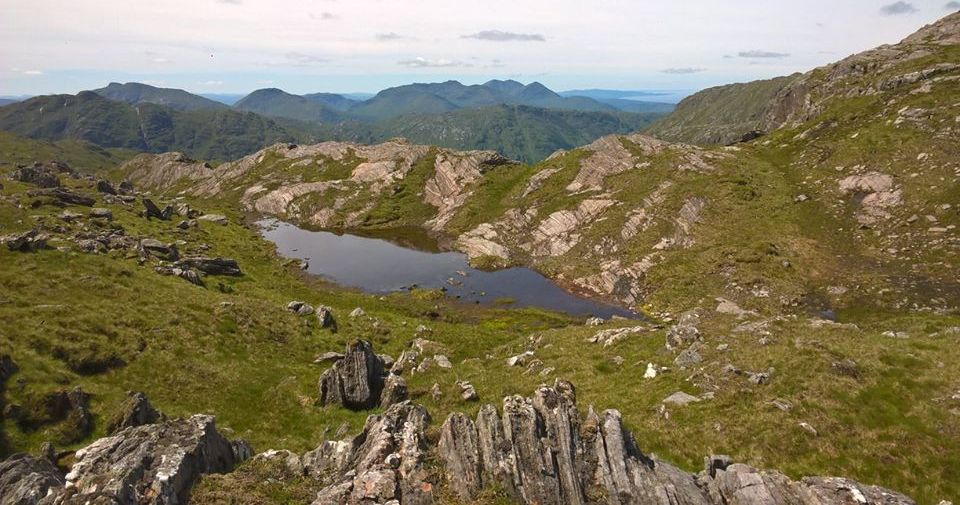
number of remote corrie ridges, craggy and wild. The
final ridge to the summit cairn is
narrow and rocky, with the depths of
Coire Thollaidh dropping away on one side and
the secretive flanks of Glen Pean on the
other.
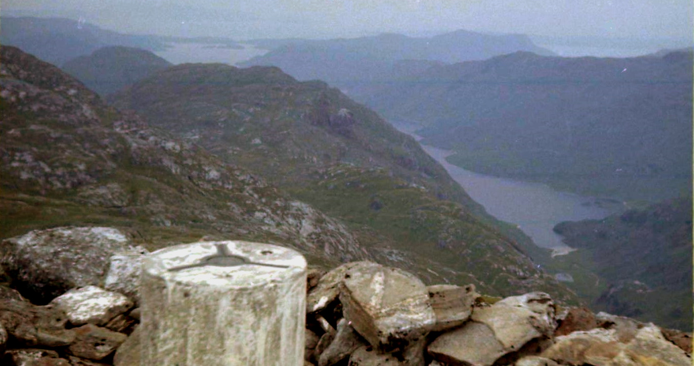
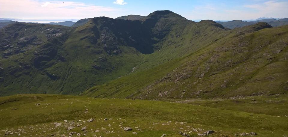
From the summit
rocky slopes tumble towards the head of
Loch Morar and to the left the
hill’s south-east ridge is
steep and rocky
and abuts on to steep cliffs which drop
into Coire Thollaidh, a craggy place of
immense character.
The ridge
continues, in form and interest, across the
minor top
of Sgurr a’ Choire Riabhaich and
down towards the
River Finnan
again. Drop off the ridge in an easterly
direction to where a good stalker’s path
skirts the foot of the crags to link up with
the main
track again. Return past
Corryhully bothy and head back to Glenfinnan.
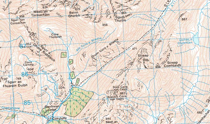
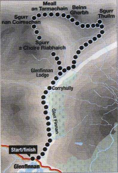
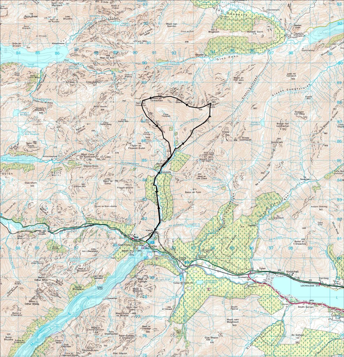
Route: Take the private road/track N from the A830 road under the
viaduct,
pass Corryhully bothy and continue uphill to cross the stream which
drains Coire Thollaidh and Coire a‘ Bheithe.
Climb NE to Druim Coire a’ Bheithe, then N to Sgurr Thuilm.
From the cairn descend S for a short distance then turn W and walk over
Beinn Gharbh and Meall an Tarmachain
to the final slopes which lead to Sgurr nan Coireachan.
Descend in a SE direction to Sgurr a’ Choire Riabhaich,
then S down the ridge back to Corryhully and the outward track.