  |
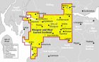
City of Glasgow Forth & Clyde
Canal
Speirs Wharf |
|
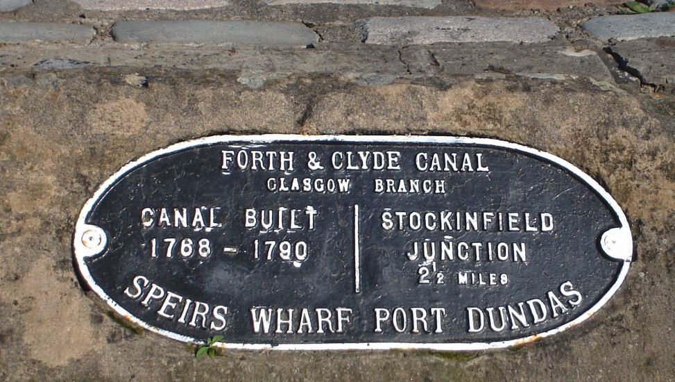
Plaque at Speirs Wharf at Port Dundas on the Forth and Clyde Canal in central Glasgow |
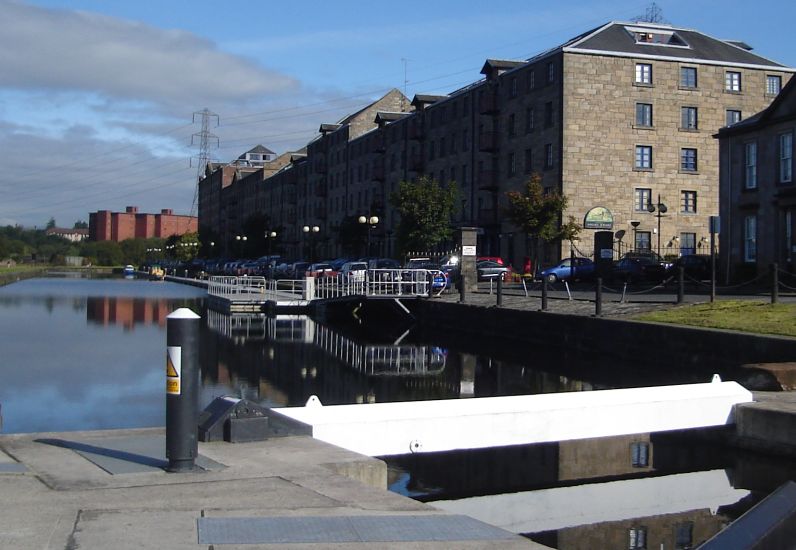
Former grain mills and stores converted to flats at Speirs Wharf The
six storey block was erected c1851,
other buildings in 1869-1870. The mills were converted to flats in 1989. |
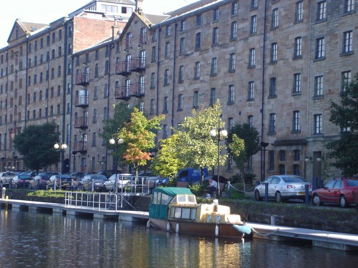
Former grain
mills and stores converted to flats at Speirs Wharf |
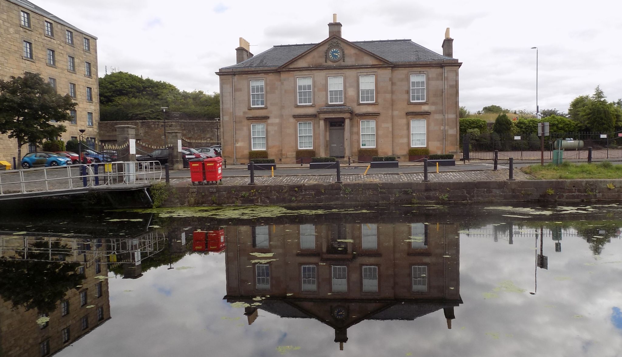 The former offices (
b1812 )
of The Forth & Clyde Navigation Co at Spiers Wharf |
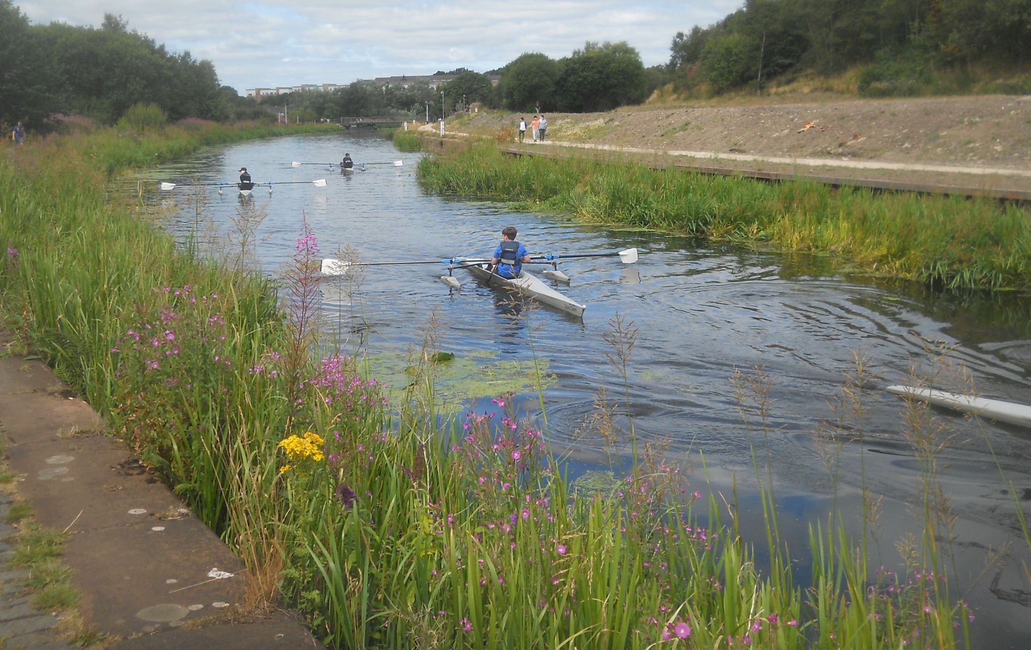
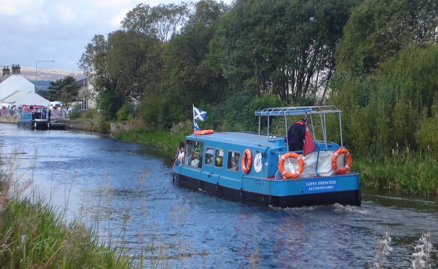
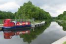
Cruise boat on the Forth and Clyde Canal |
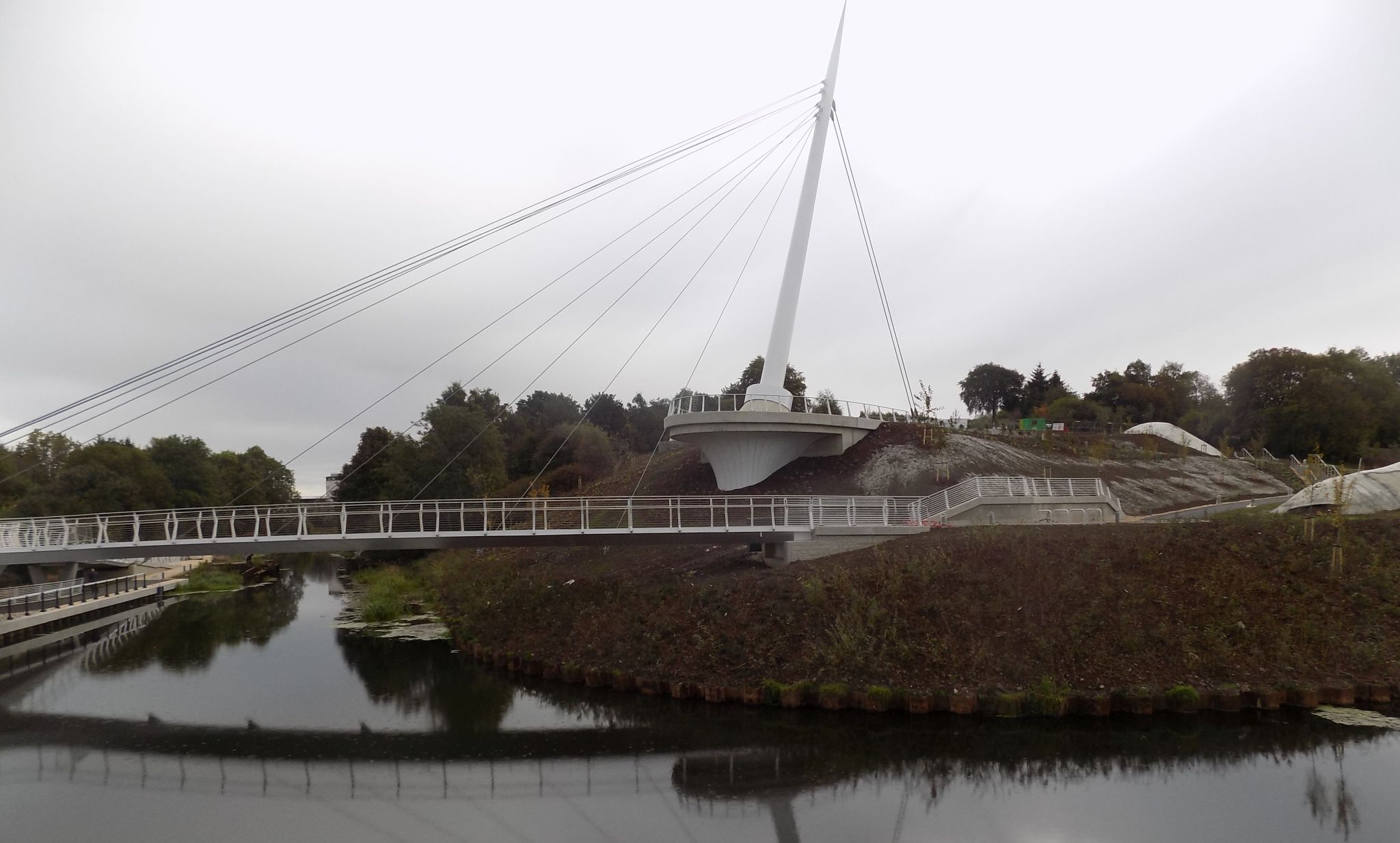
Footbridge
across the Forth and Clyde Canal at Applecross Street Basin |
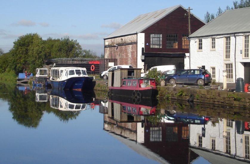
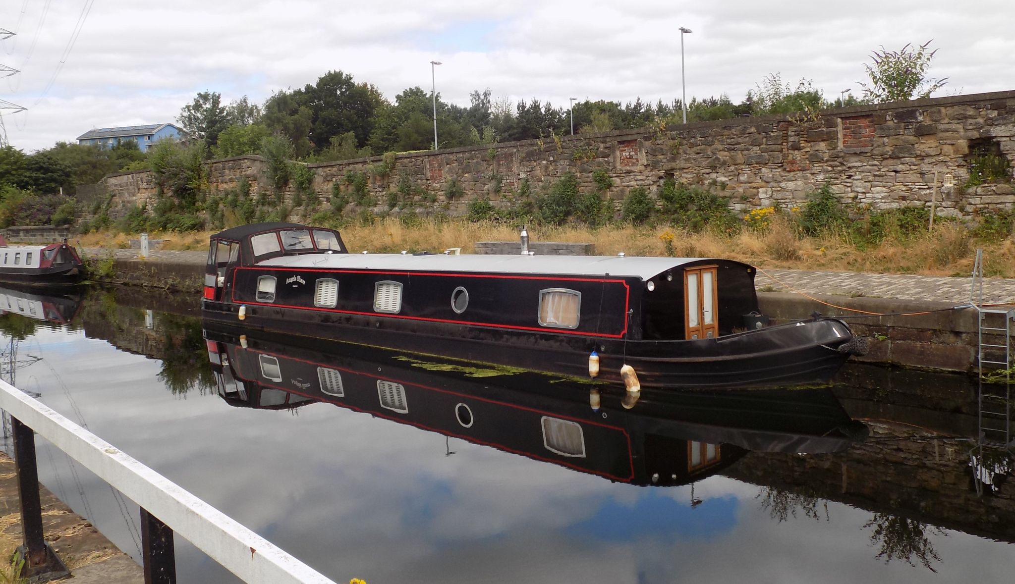
Boats
on Forth and Clyde Canal at Applecross Street Basin Scottish HQ of British Waterways |
Claypits Nature & Wildlife Reserve alongside the Forth and Clyde Canal |
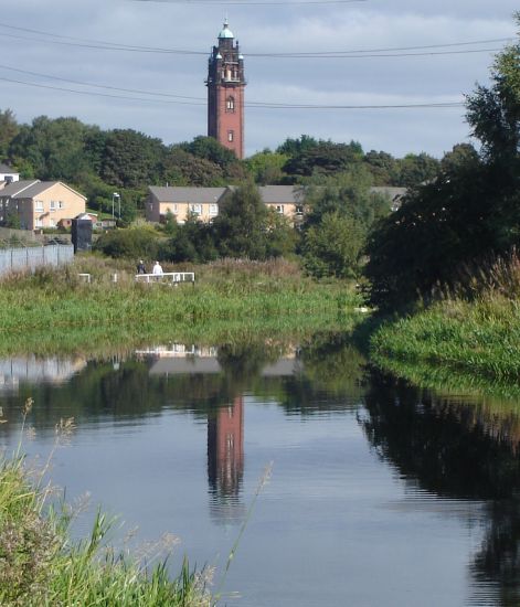
Tower of Ruchill Hospital in Glasgow |
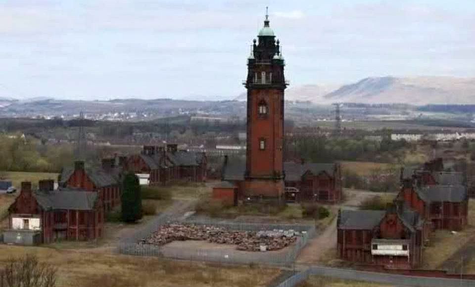
Water Tower of Ruchill Hospital |
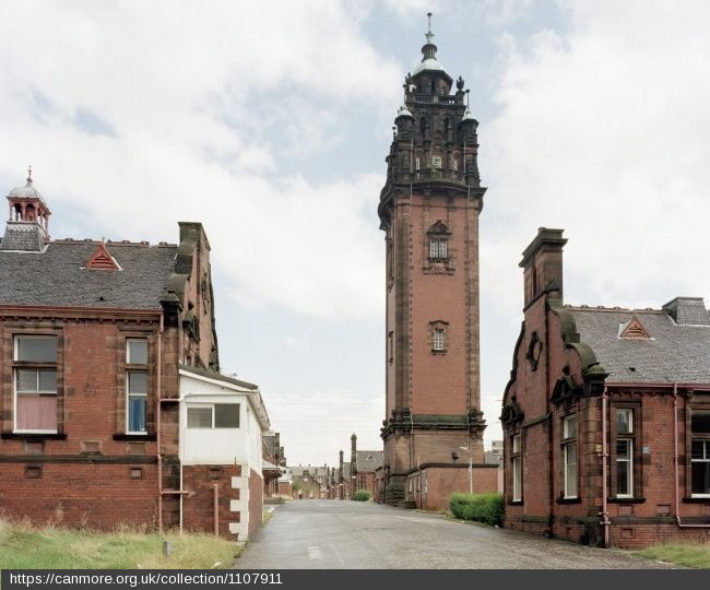
Water Tower of Ruchill Hospital |
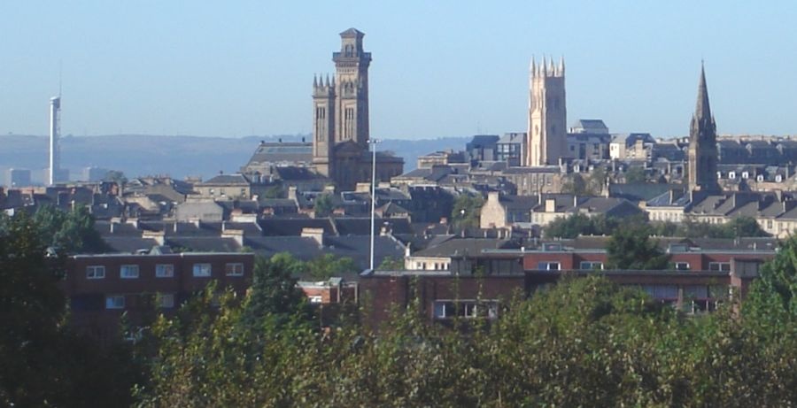
and Towers of Trinity
College and Park
Church from the Forth
and Clyde Canal |
Spire of St.Judes
Church |
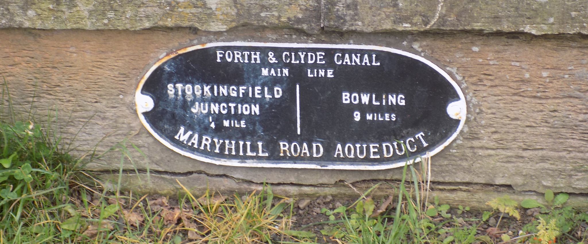
Plaque
on
Maryhill Aqueduct on
|
Barge
on Forth and Clyde
Canal in Maryhill |
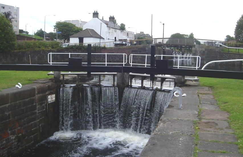
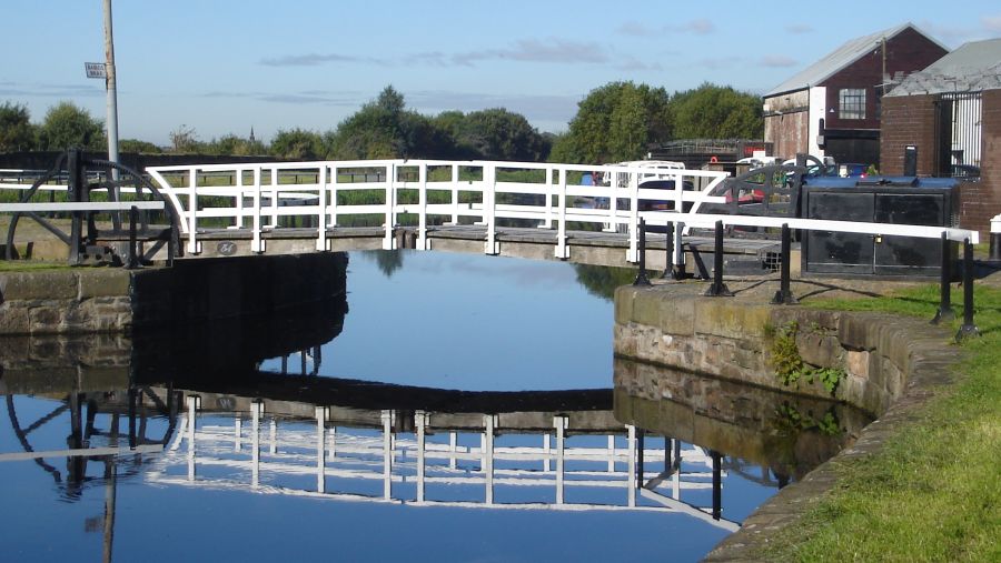
Lock 21 in Maryhill |
Route Description for Kelvin River Walk
Grade: Easy river and canal walk
Distance: 4 miles/ 6.5km
Time: 2—3 hours
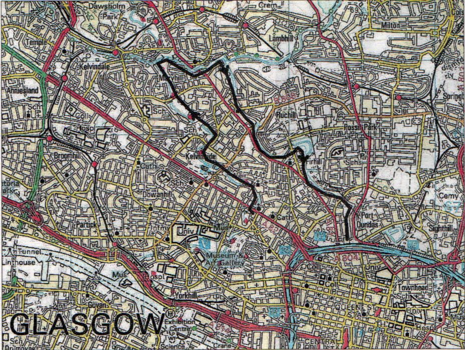 Map of
River Kelvin Walk
|
Waterways Cycle Route
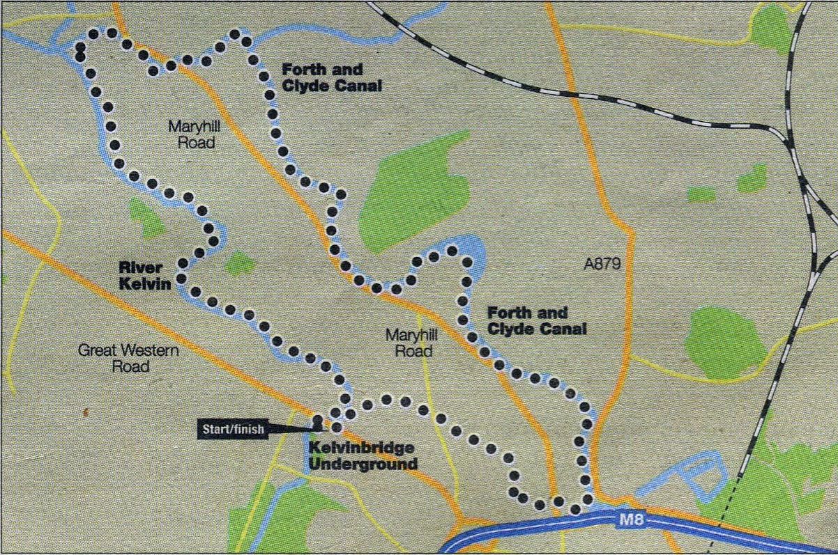 Map of Waterways cycle route
|
Location: Glasgow city
Map: OS Landranger 64; www.routes2ride.org.uk
Distance: 6 miles (10km)
Time: 1 - 1 .5 hours
Terrain: flat; traffic-free and on-road cyclepaths
Glasgow City Council plans to boost cycling are timely and much needed. There are some great routes in and around the city, such as this family-friendly loop, but, in
general, cycle commuters face many difficulties. Perhaps now simple to fix problems, such as inconsistent signage and parked cars on cycle lanes, will be addressed as
part of a grander ambition to make safe cycling the city’s no.1 participatory activity by 2020.
Start from Kelvinbridge subway station to follow the Kelvin Walkway upstream.
Tranquil traffic-free cycling leads alongside the tree-lined river. Further on, look for a signed ramp to the Forth & Clyde Canal, part of Sustrans National Route 754.
Bear right to pass the impressive Maryhill lock flight — five locks linked by oval basins. After about half a mile ( 800km ) you’ll reach Stockingfield Junction, where
this route stays on the towpath as it veers south for Speirs Wharf along the old Glasgow branch of the canal.
Leave the waterway via the long ramp and veer right at a grassy triangle to cross Garscube Road on a pedestrian bridge.
Follow the cyclepath ahead by a running track and after the Braid Square flats go right.
Keep straight and turn left on to Braid Street.
Cross St George’s Road on to North Woodside Road.
Follow this road across several junctions until a ramp on the right ( NCN 754 sign ) leads back to the start.
Glencoe | Ben Nevis | Knoydart | Isle of Skye | Isle of Arran | The West Highland Way
The Eastern Highlands | The Central Highlands | The Southern Highlands | The NW Highlands