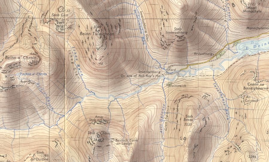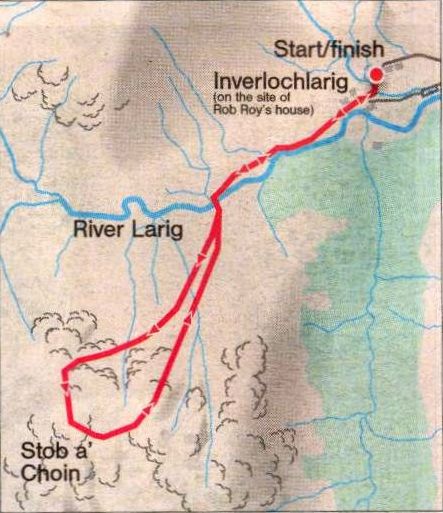
Route Map for Stob a'Choin
|
|
STOB a'CHOIN - ROUTE
DESCRIPTION:
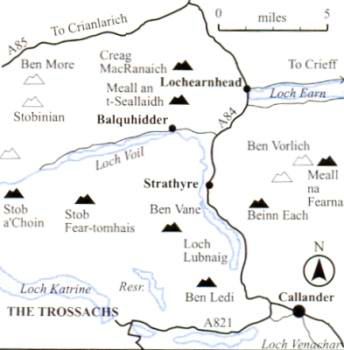
Location:
Trossachs
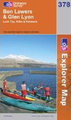
Map: OS Landranger 56
Distance: 8 miles (14km)
Time: 4-5 hours
Grade: Moderate hill walk
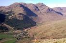
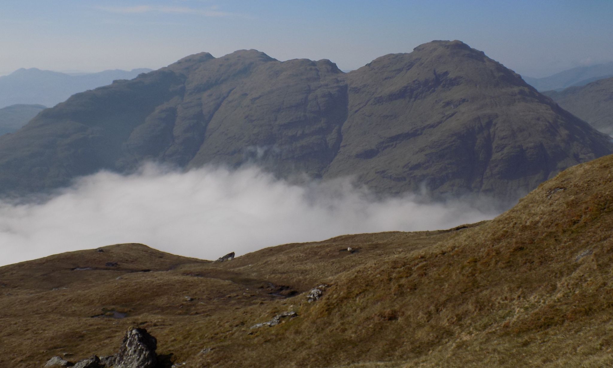
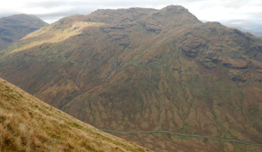
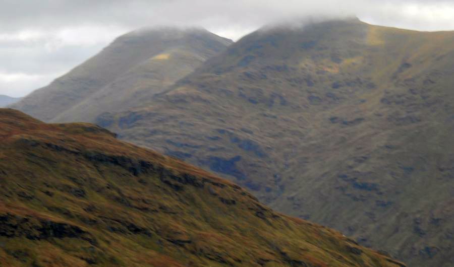
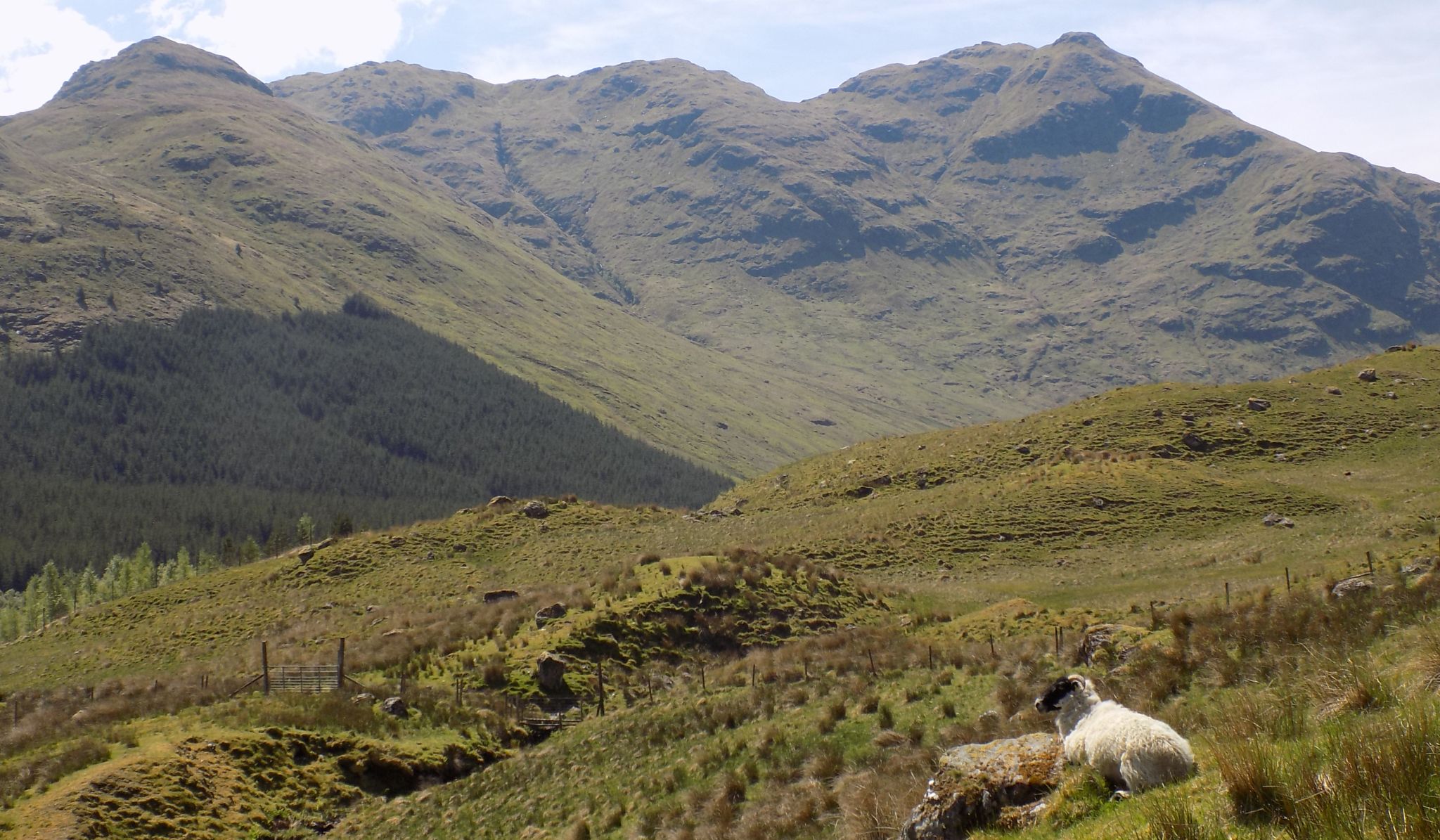
Stob a’ Choin is a multi-topped Corbett that
offers views of other high mountains, Stob Binnein and Ben More, Cruach
Ardrain and Beinn Tullaichean, Beinn
Chabhair and Beinn a’ Chroin,
hills more usually climbed from Glen Falloch
in the north.
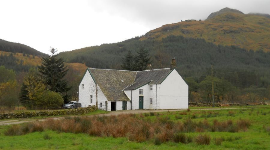
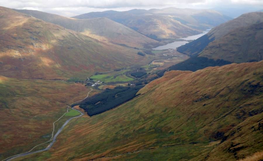
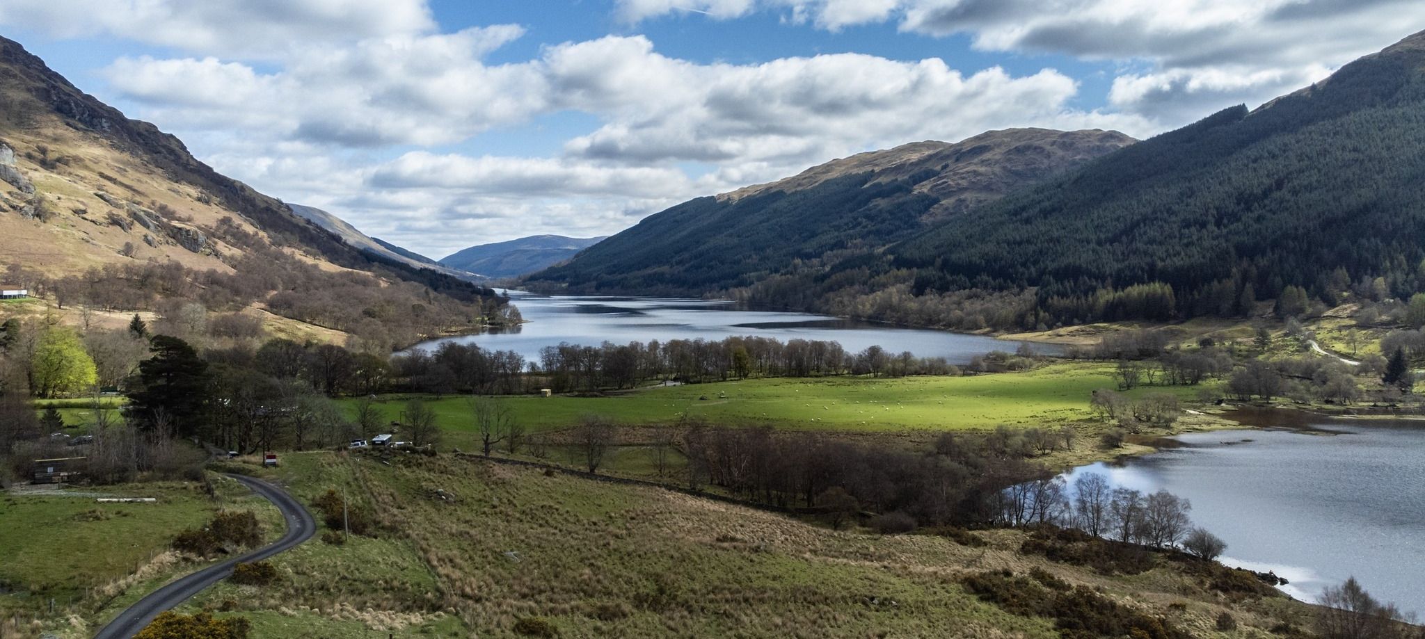
There's a little visitor centre and car park just before the farm at
Inverlochlarig, complete with signposts pointing out the routes to the
various hills.
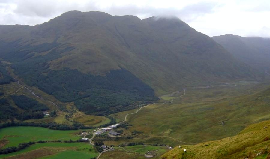
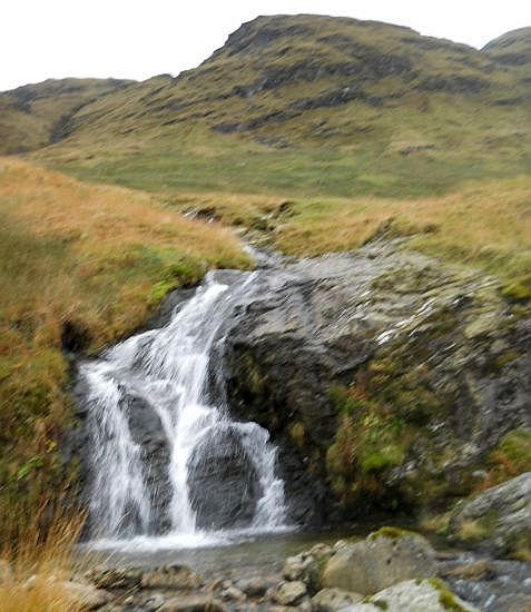
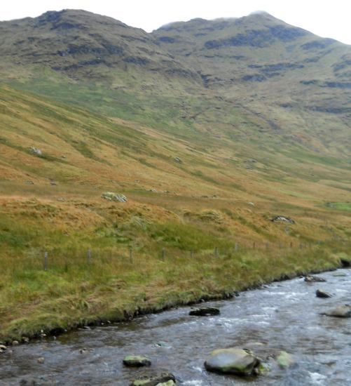
The route for Stob a’ Choin is through the hamlet, past the farm and
along the path on the north bank of the River Larig. A substantial
bridge across the river and then trackless - boggy grass, reeds and
fields of bog cotton makes tough going of the lower slopes aiming for a
natural step in the north ridge, one well protected by the crags of
Amar Stob a‘ Choin.
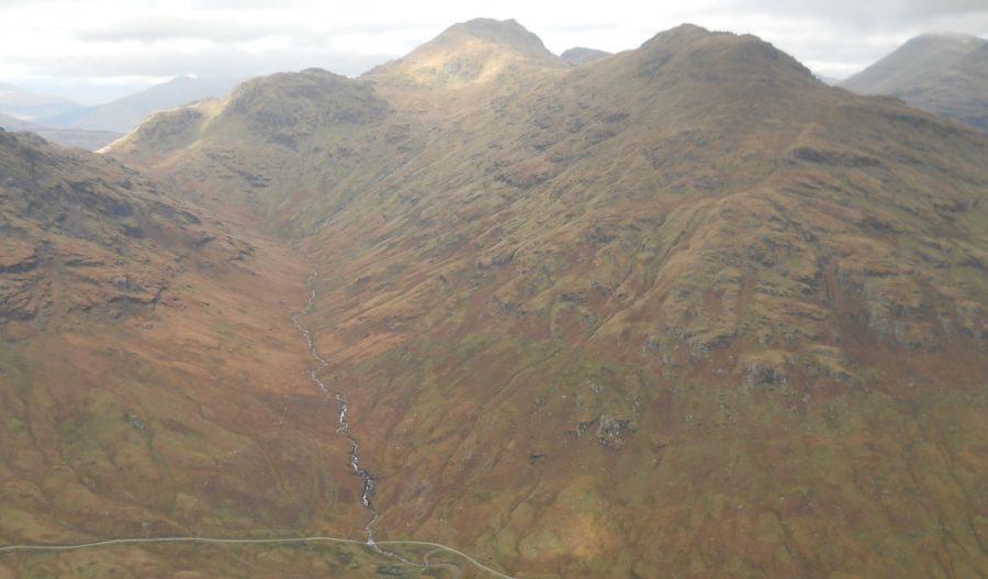
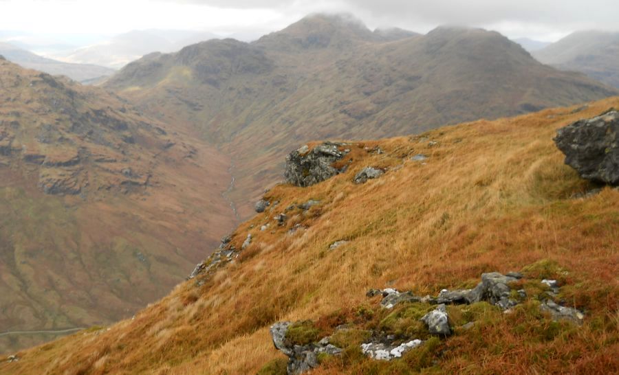
It is hard work, a great excuse to stop and gaze across the glen at the
Crianlarich hills, Stob Binnein looks so elegant from here, with its
neighbour, Ben More,
mostly hidden, below Stob Binnein's western slopes, deep, western
slopes in the Inverlochlarig Glen.
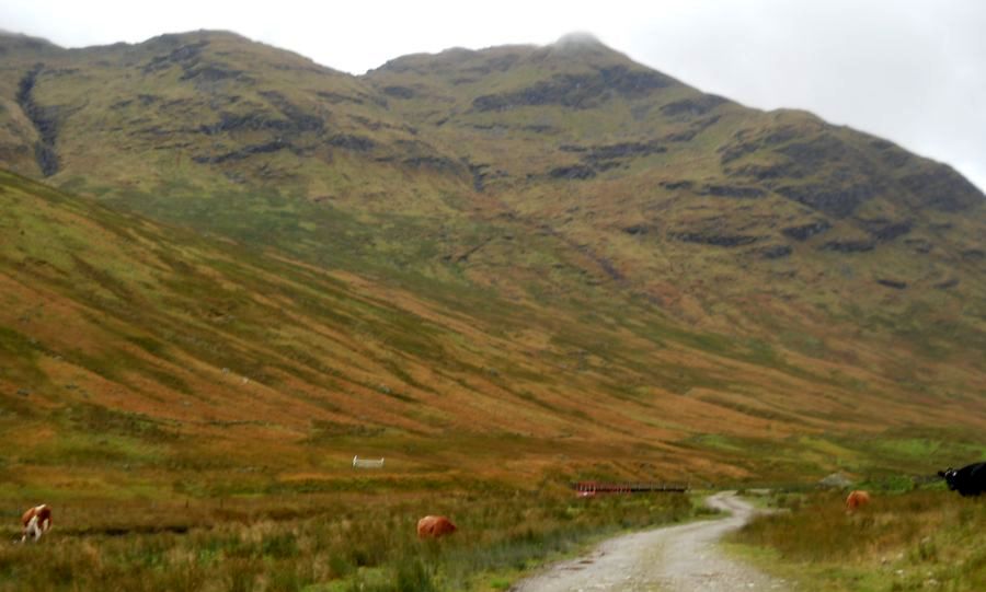
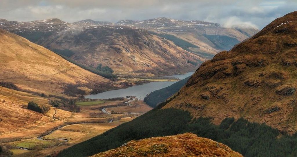
A bulldozed track now runs towards the high bealach below Cruach Ardrain. There's even
a track all the way up beside the River Larig to Parlan Hill, at the
head of Loch Lomond. The upper
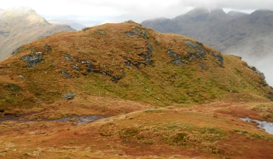
part of Stob a’ Choin’s north ridge is steep and stony. Sooner than
expected top out beside a cairn above a tiny lochan. Across a dip in
the summit ridge rises another, rock-covered top. This, according to
various guidebooks, is the higher of the two summits at 2,851ft/ 869m.
It’s an undulating route from Stob a’ Choin’s summit around the head of
Coire an Laoigh and not altogether straightforward with steep crags and
gullies. Cut the corners to reach the north-east ridge, a steep grassy
descent back to the River Larig footbridge and the track back to
lnverlochlarig.
Route:
Start and finish at Inverlochlarig car park (GFI: NN439183).
Leave the car park and follow the road through Inverlochlarig.
Turn left after the second house then right at the farm.
Go through a gate and follow the bulldozed track alongside the N bank
of the River Larig.
Cross the river by a footbridge then continue alongside the river for
about 500m to a sheepfold.
Follow the burn up steeper slopes and make for an obvious step on the
hill's N ridge.
Once on the ridge follow it S, steeply, to the first of two tops.
The S top is the higher.
From here follow the broad ridge E, SE and then NNW before descending
steeply into Coire an Laoigh, making for the footbridge over the river.
Return to Inverlochlarig by the outward route.
Stob
a'Choin Gallery