 |
Bearsden & DistrictBalmore - Torrance |
  |
| |
Bearsden & DistrictBalmore - Torrance |
|
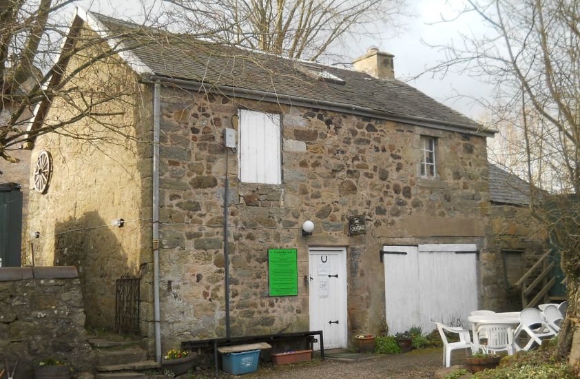 Coach
House Inn at Balmore
Balmore is from the Scottish Gaelic " Baile Mòr " meaning a large settlement. |
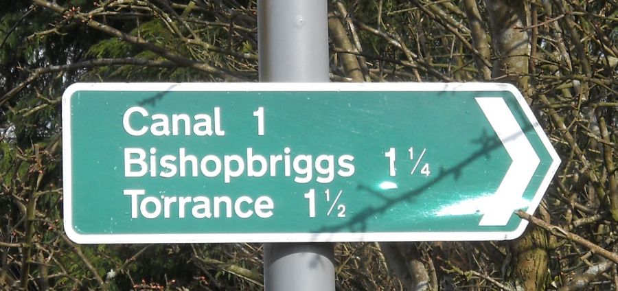 Signpost
at Balmore
|
 |
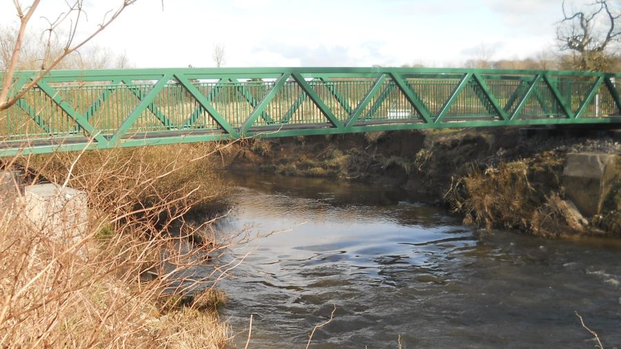 Bridge
over the Kelvin River |
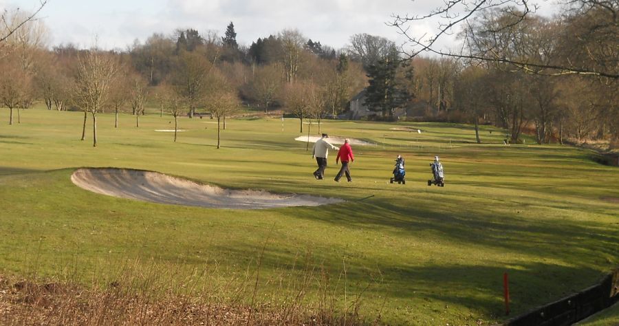 Cadder
Golf Course
from the Kelvin River |
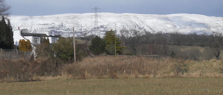
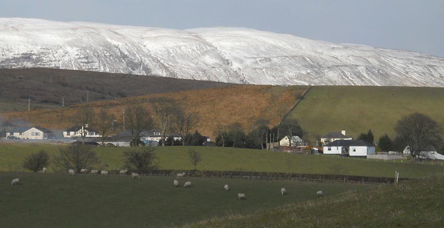
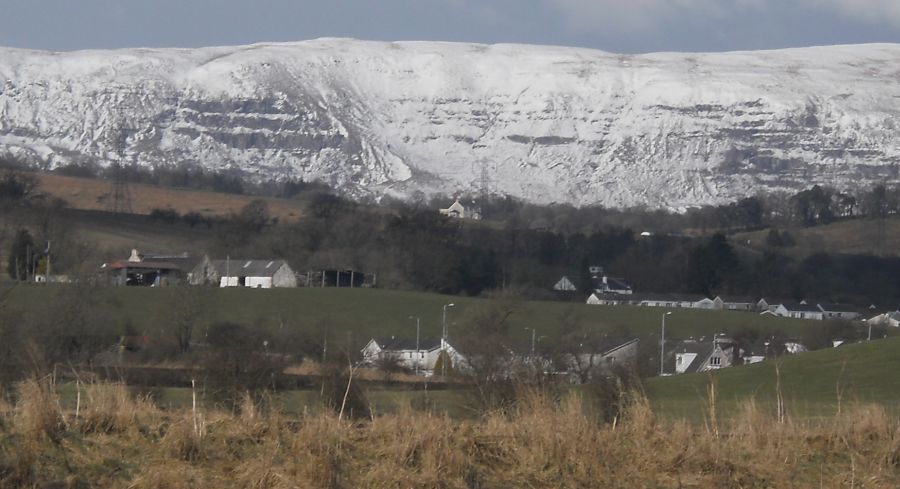 Campsie Fells
from the Kelvin River |
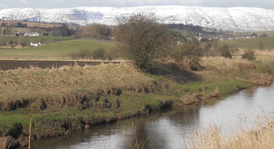 Campsie Fells
and Torrance Village from the River Kelvin |
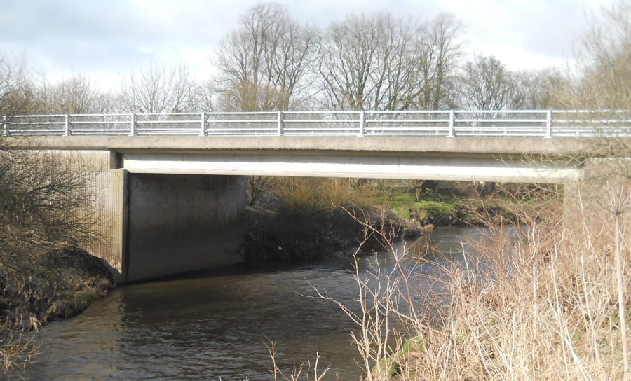 Road
bridge
over the River Kelvin |
 Main
Street in Torrance
Village
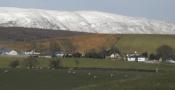
in East Dunbartonshire Torrance is some 8 miles ( 13km ) to the north of Glasgow The name comes from the Gaelic " An Toran " which means " under the hills ". |
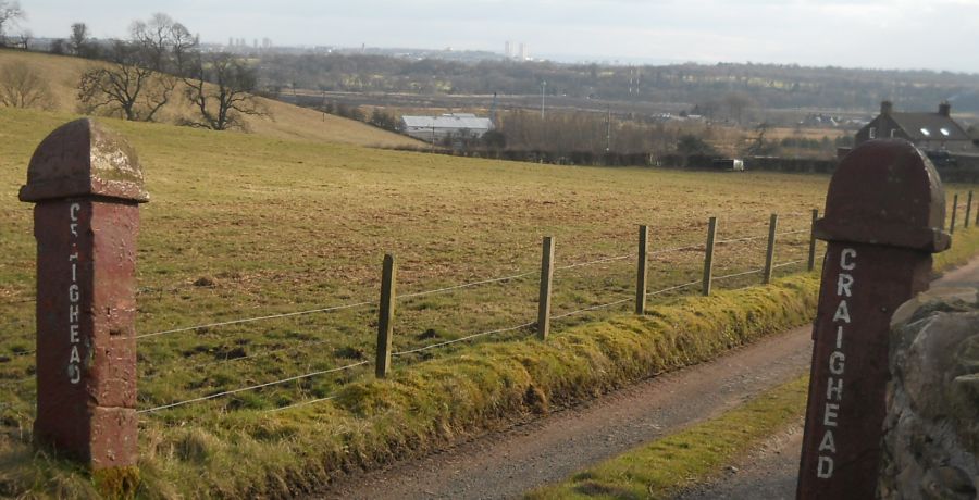 Gateway
to Craighead Farm
above Torrance |
 |
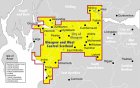
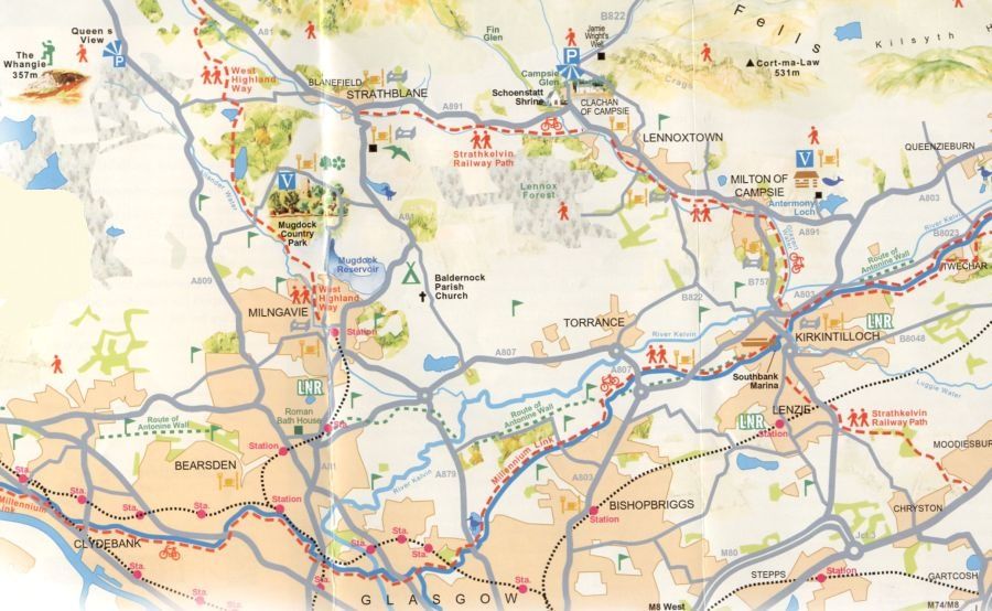 Map of the
Torrance area
|
 Map of
the Balmore and Torrance
area
|
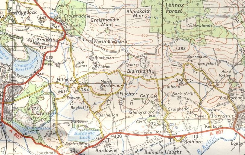
 Map of
the Torrance
area
|
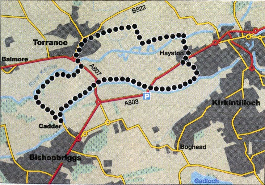
TORRANCE - CADDER: CYCLE ROUTE DESCRIPTION
Locaton: Stirlingshire
Map: OS Landranger 64
Dislanoe: 6 miles / 10km
Time: 1.5 hours
Terrain: flat; traffic-free paths ( some rough ), short road sections
Enjoy an interesting loop on a network of paths below the Campsie Fells. The route is very flat and mostly off-road — families or novices could walk the on-road sections.
Start from the north side of the Village Inn in Torrance to access a path below a playground. Keep left to join the start of an old rail line which leads out into the countryside.
Further on, follow the main path as it swings to the right by a golf course.
Go through a gate on the left, then cross the River Kelvin to arrive at an estate. Keep straight, up Hayston Road, to join a main road.
Turn right and ( first left, looking for a path ahead by a burn. Later go right, over a wooden bridge, to access a fine tranquil wooded section of the Forth and Clyde Canal.
Pedalling right along the towpath you pass under two bridges and by an inviting pub to reach Cadder Church.
Cycle by the right of the church where the road leads on to a rougher track. At the bottom keep straight, by a house, on to a path that leads through a golf course.
From there a sign directs you to the right for Torrance.
 :: Railway
Path
Gallery
:: Railway
Path
Gallery 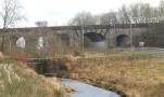 :: Campsie
Fells
:: Campsie
Fells 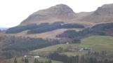
Glencoe | Ben Nevis | Knoydart | Isle of Skye | Isle of Arran
The Eastern Highlands | The Central Highlands | The Southern Highlands | The NW Highlands