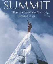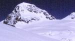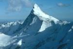

The extensive mountain ranges that make up the European Alps form a rough arc above Northern Italy, beginning in the Maritime Alps in the South of France and stretching eastwards into northern Italy, through Switzerland and Austria and into Slovenia in the east. The peaks form clusters of sub-ranges that include the Dolomites, the Bavarian Alps, the Chablais alps and many more, rising to 4,808 metres at Mont Blanc, the highest peak in Europe, at the point where France, Italy and Switzerland join together.
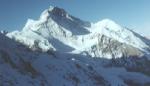
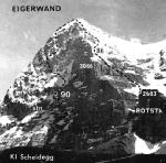
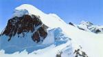
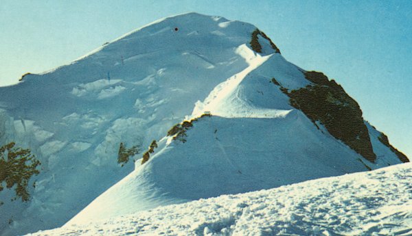 Normal route of
ascent on Mont Blanc
|
Up to 100 million people a year travel to the Alps to enjoy the exhilaration of its fantastic walking, hiking and climbing opportunities. Whether you wish to trek across alpine foothills, hike across rugged terrain or tackle the most strenuous climbs, popular trails have been tried and tested and have proven to take intrepid outdoor enthusiasts to the most beautiful parts of the mountains and national parks. Those who plan their trip carefully will be rewarded with spectacular views of lush forests, clear mountain lakes and snow-capped mountain peaks. In general the hiking season starts in July, when patchy snow is least likely to limit your routes. This is also the best time of year to appreciate the alpine flora and increase your chances of spotting wildlife and birds.
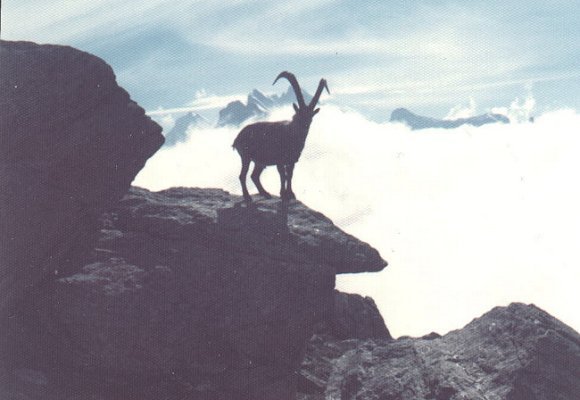 Ibex in the Bernese Oberland
|
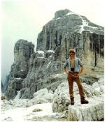
For independent walkers and hikers embarking on their own alpine adventure, a number of publications list official trails with detailed descriptions of distances, terrain and essential amenities to expect to find along the way. So whether it be a trek across the low lying Bernese Oberland or the challenge of Mont Blanc, these guides can prove an invaluable companion. Alternatively, many specialist travel companies offer tailored trips with excellent itineraries designed for all levels of fitness. These routes usually encompass breaks and overnight stays in huts or trailside lodges which are a welcome safe haven with comfortable beds, wholesome food and the all important walkers` cameraderie. If you are looking for a complete experience of the European Alps, you might want to consider the Via Alpina trail, the first trans-Alps trail, which allows the more adventurous hiker to trek 3,100 miles, crossing borders no less than 44 times in the process.
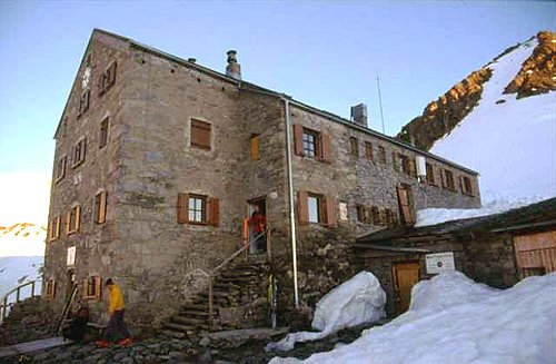 Neue Prager hut
in the Austrian Alps
|
It is essential if you are planning a particularly strenuous hike, to prepare well in advance by steadily increasing your fitness levels, and try some high level walks beforehand in the UK. If you`re still up for the challenge, ensure you travel as light as possible and that any weight you do carry is distributed evenly across your body. Wearing plenty of warm but breathable layers is the key to staying comfortable in the mountains, with the help of snow gaiters, some appropriate footwear and a balaclava to protect the head and face from the elements.
Normal route of
ascent on Mont Blanc
|