|
|
|
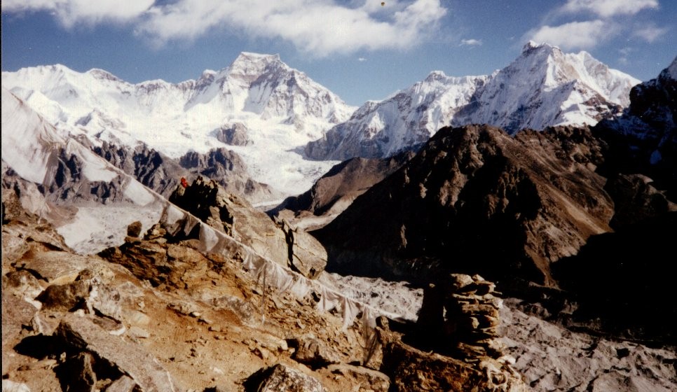
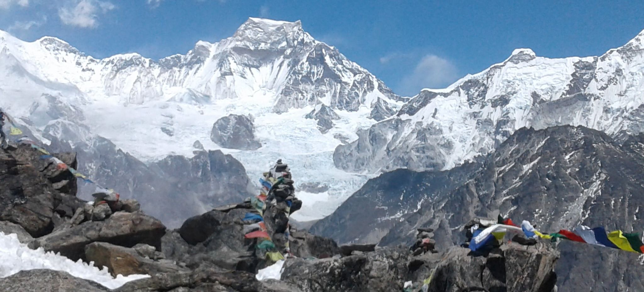
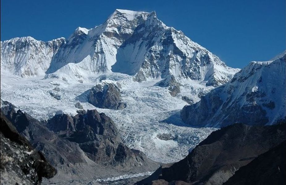
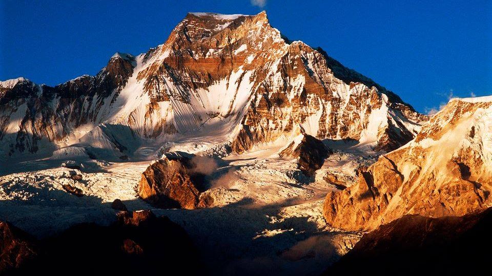
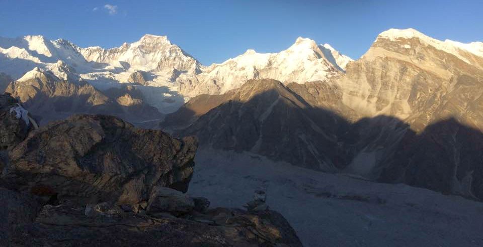
Gyachung Kang ( 7952m ) and Cha Kung ( 6845m ) from Gokyo Ri Gyachung
Kang is the
highest mountain
between Cho Oyu ( 8,201m ) and Mount Everest ( 8,848m ). It lies on the border between Nepal and Tibet. Gyachung Kang is the fifteenth highest mountain in the world - it is the highest mountain that is not an eight-thousander. |
|
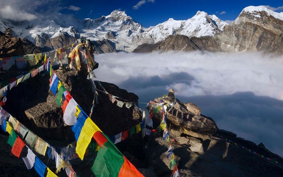
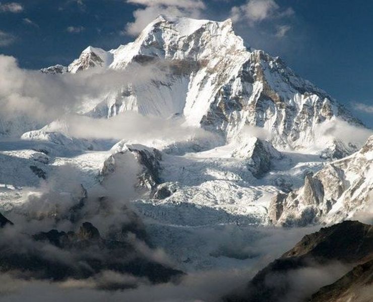
Gyachung Kang ( 7952m ) from Gokyo Ri |
|
|
|
|
|
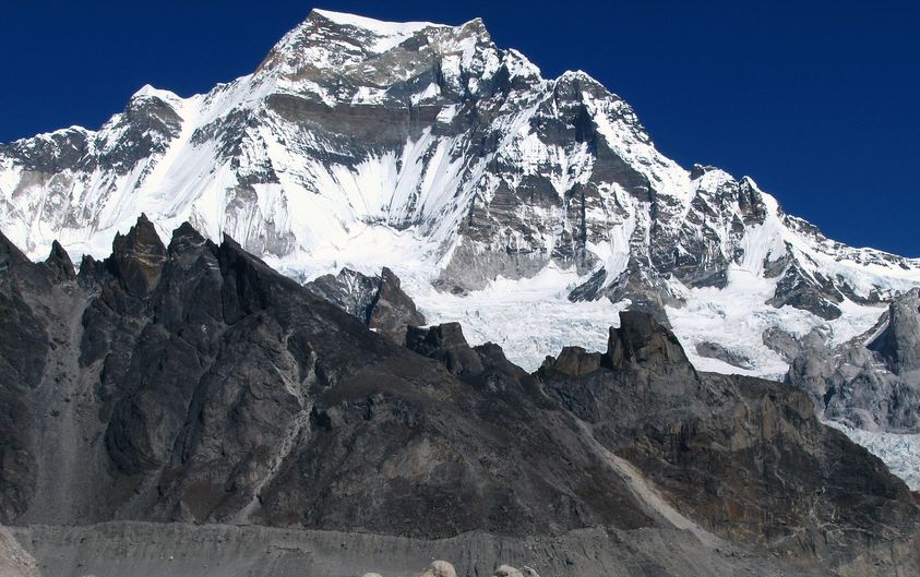
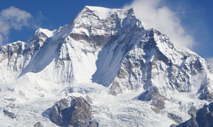
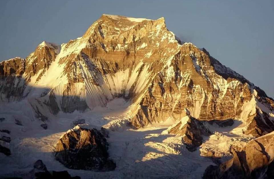
Mount
Gyachung
Kang ( 7952m )
|
|
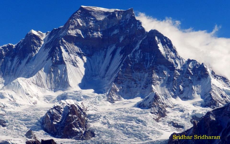
Mount
Gyachung
Kang ( 7952m )
|
|
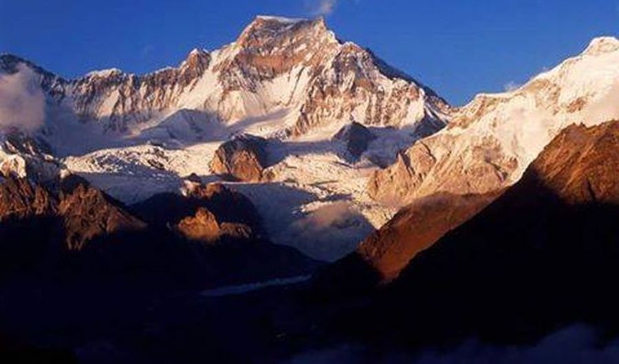
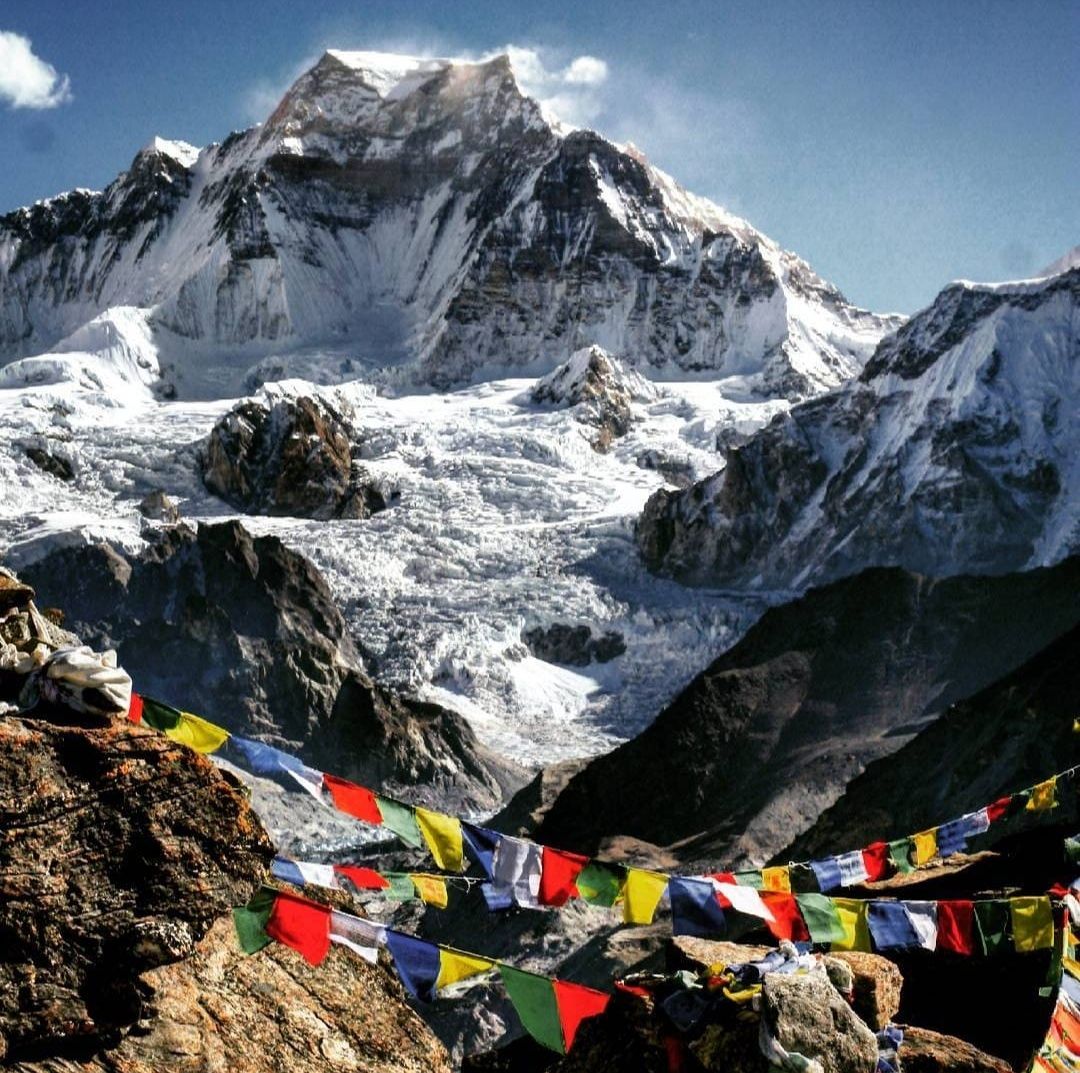
Gyachung
Kang ( 7952m )
from Gokyo Ri |
|
|
|
Mount
Gyachung
Kang ( 7952m )
|
|
Mount
Gyachung
Kang ( 7952m )
|
|
Mount
Gyachung
Kang ( 7952m )
|
|
Mount
Gyachung
Kang ( 7952m )
|
|
Mount
Gyachung
Kang ( 7952m )
|
|
Mount
Gyachung
Kang ( 7952m )
|
|
|
|
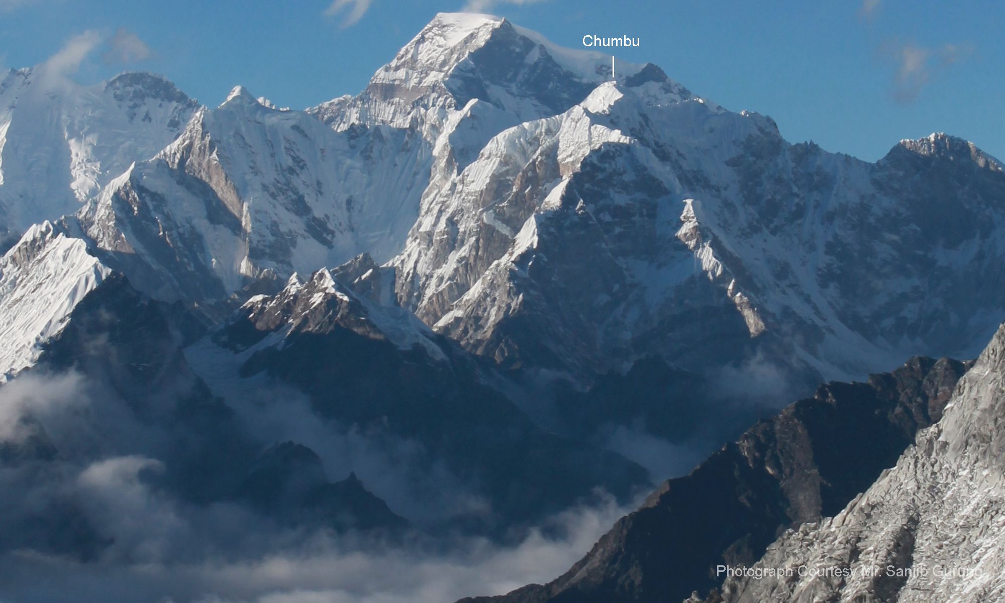
Hungchi
/ Cha Kung ( 7036m )
and Chumbu ( 6859m ) |
|
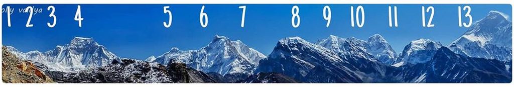
Panorama
of Khumbu Peaks
Peak 1 = Ngozumba Kang 1 = 7916m Peak 2 = Ngozumba Kang 2 = 7743m Peak 3= pt 7597m Peak 4 = Gyachung Kang = 7952m Peak 5 = pt 6728m Peak 6 = Hungchi / Cha Kung = 7036m Peak 7 = ?? Peak 8 = Kangchung West = 6063m Peak 9 = Chumbu = 6859m Peak 10 = Kangchung East Peak 11 = Pumori = 7161m Peak 12 = Changste = 7543m Peak 13 = Everest = 8848m |
Site Index :: Adventure Travel :: Worldwide Mountaineering