 |
Glasgow & DistrictAirdrie
- Hillend Reservoir
|
  |
| |
Glasgow & DistrictAirdrie
- Hillend Reservoir
|
|
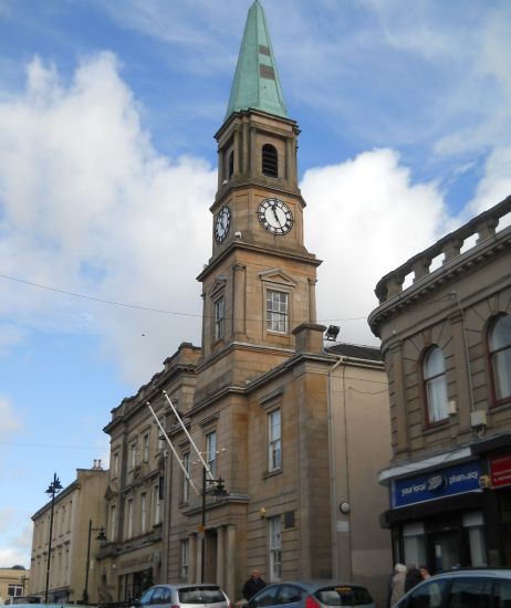 |
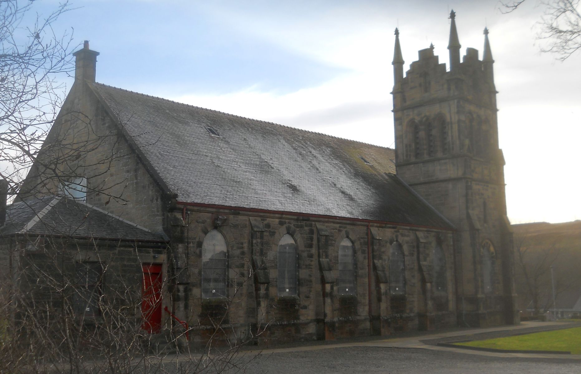
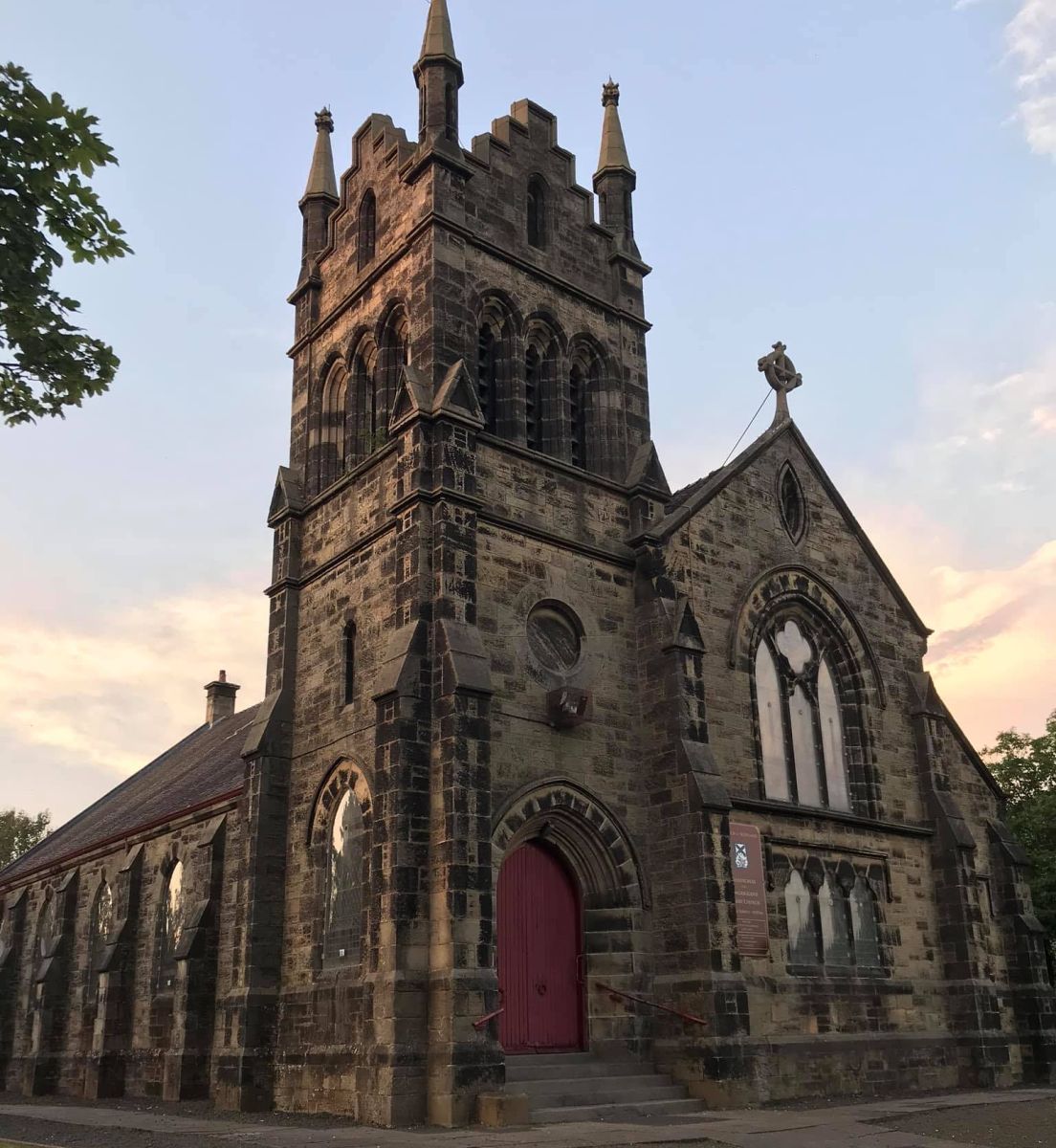
 Church
at Drumgelloch in Airdrie
|
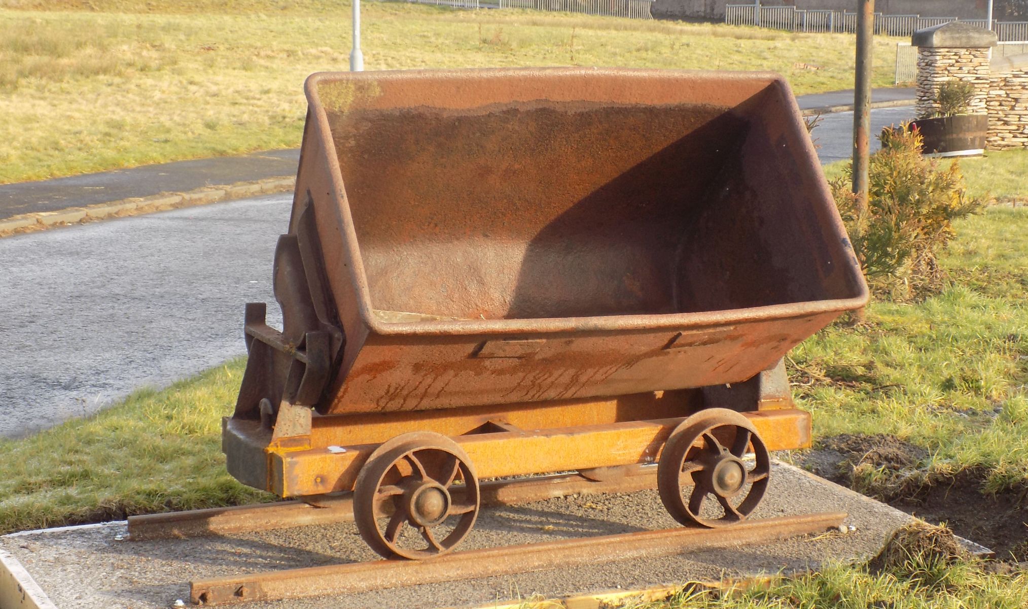 Old
mining wagon at Plains village
Much of the original growth of Plains was due to the expansion of coal mining in North Lanarkshire |
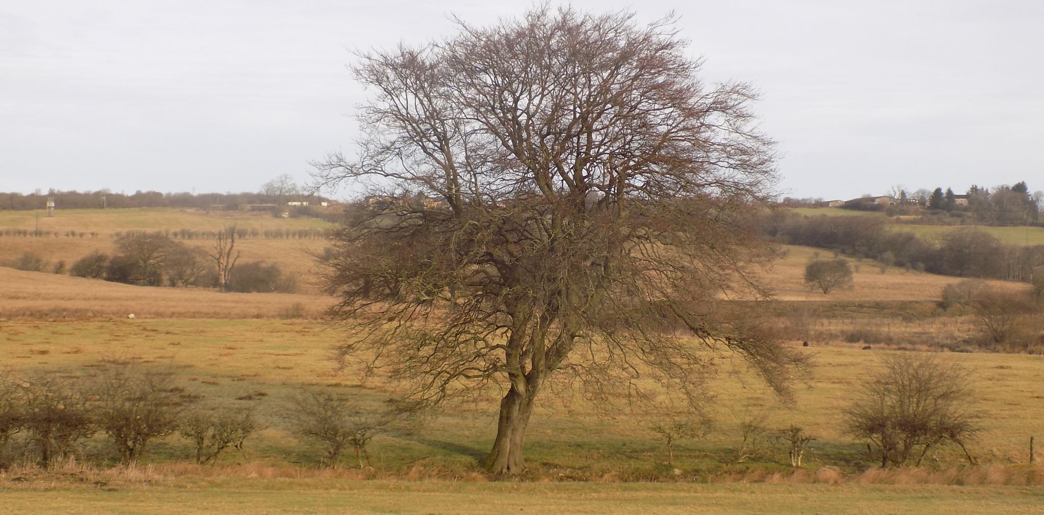 Countryside
on cycle route
from Airdrie to Hillend Reservoir |
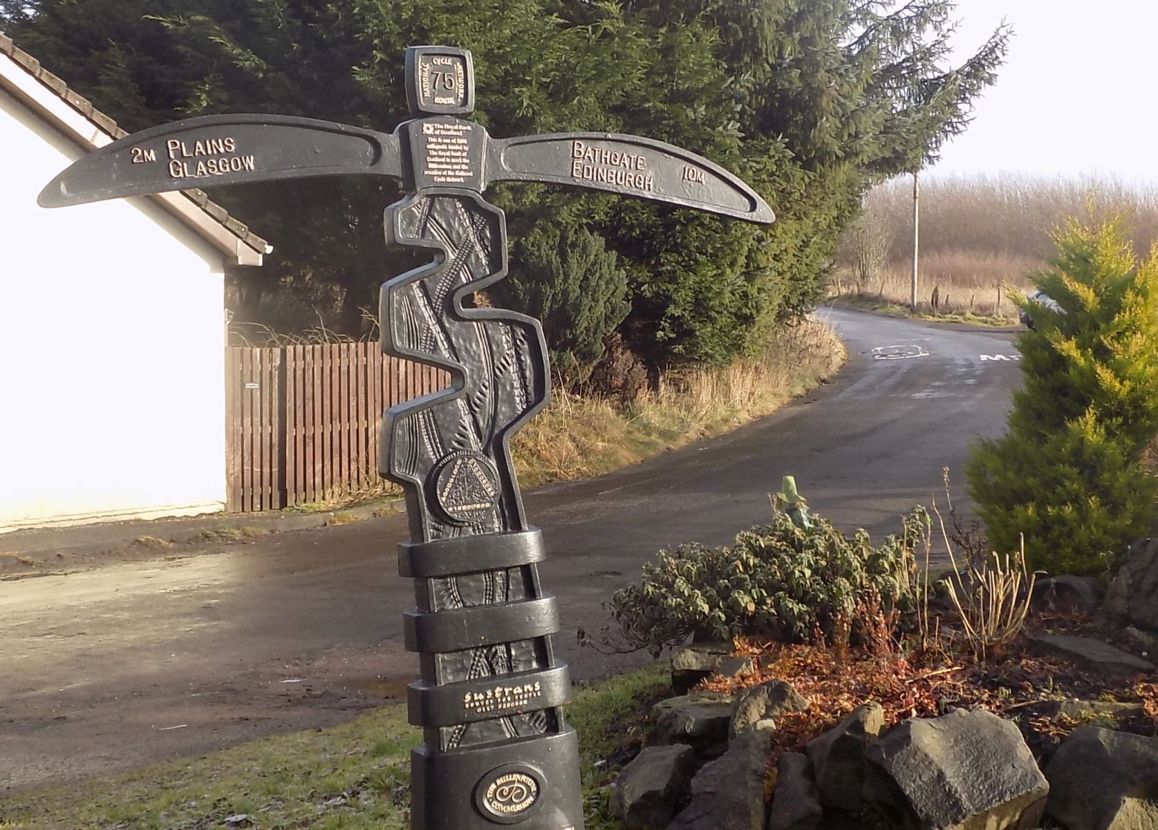
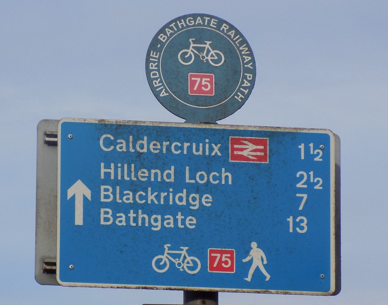 Signpost
on cycle route
from Airdrie to Hillend Reservoir |
 Countryside
on cycle route
from Airdrie to Hillend Reservoir |
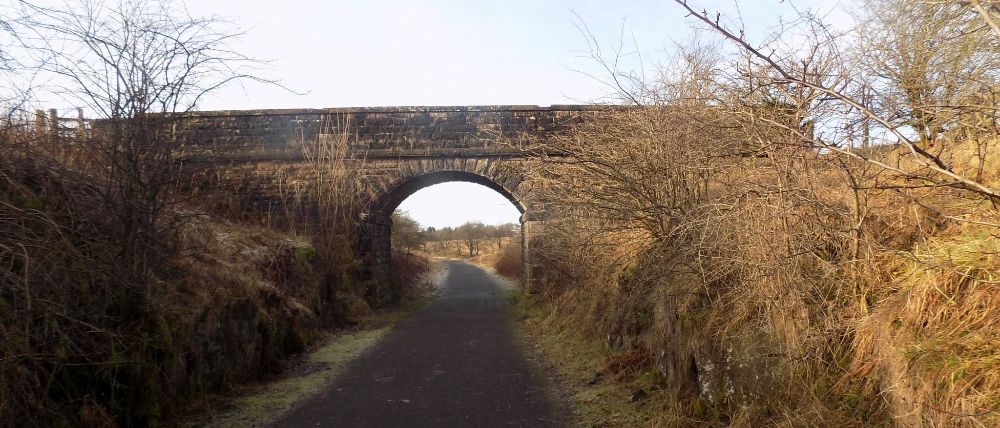 Old
bridge over the cycle route
from Airdrie to Hillend Reservoir |
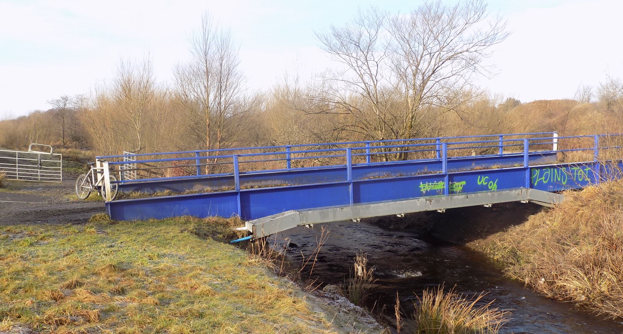 Footbridge
on the cycle route
from Airdrie to Hillend Reservoir. |
 |
 |
 Signpost
on cycle route
from Airdrie to Hillend Reservoir. |
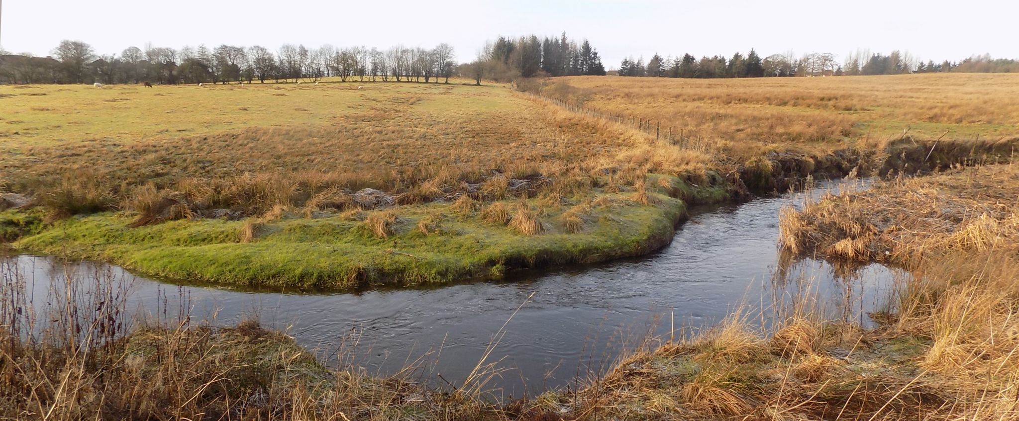
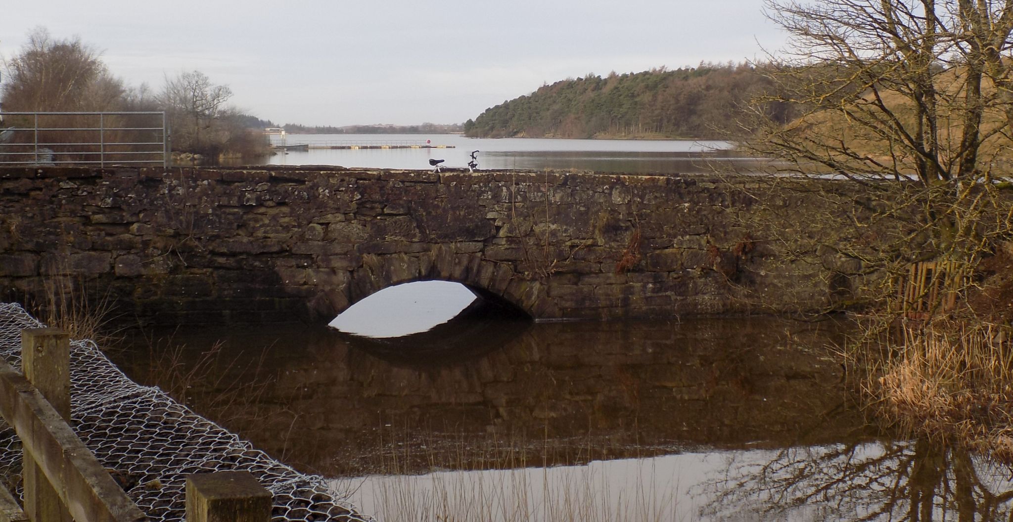
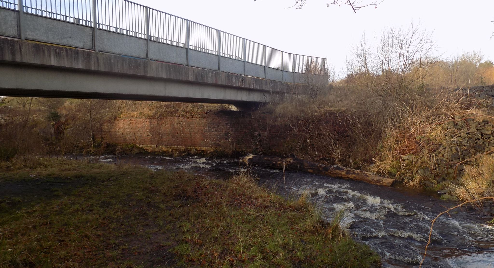 Bridge
over the North Calder River
on the cycle route to Hillend Reservoir |
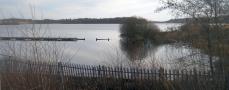
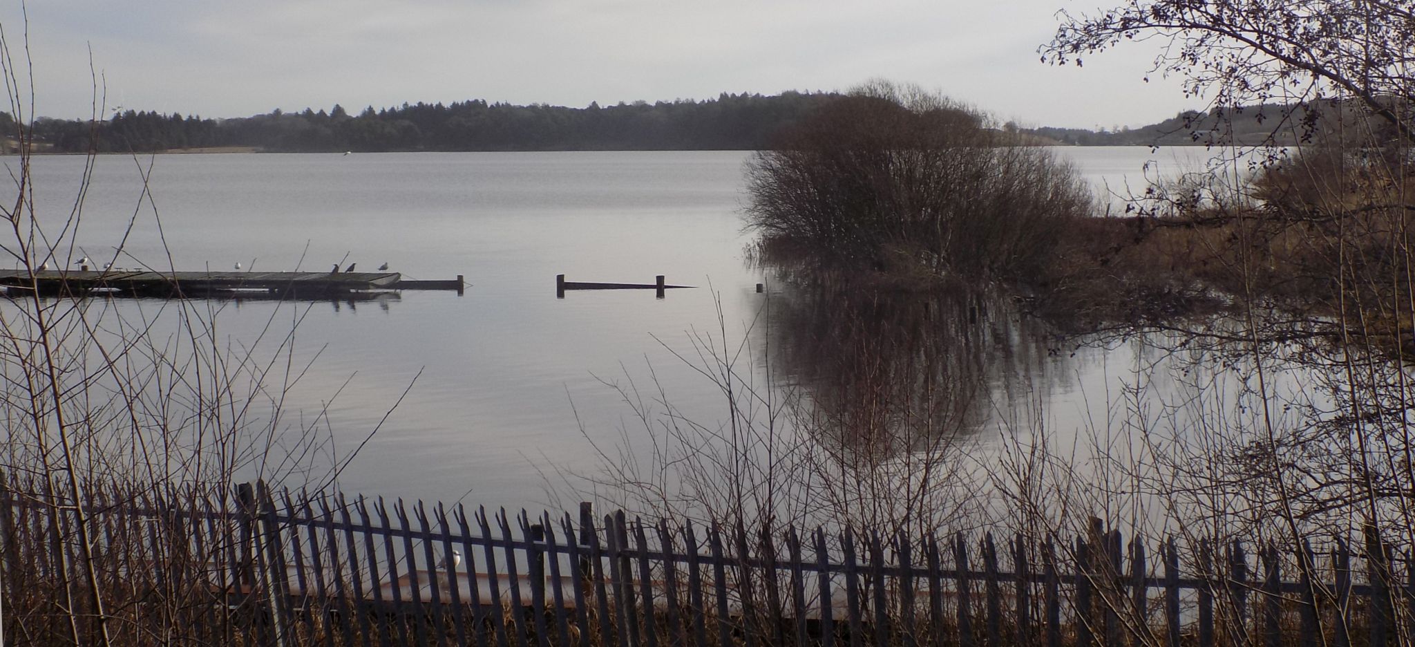 Hillend
Reservoir
a naturalised loch established between 1797 and 1799 when the North Calder Water was dammed to supply water for the Monkland Canal |
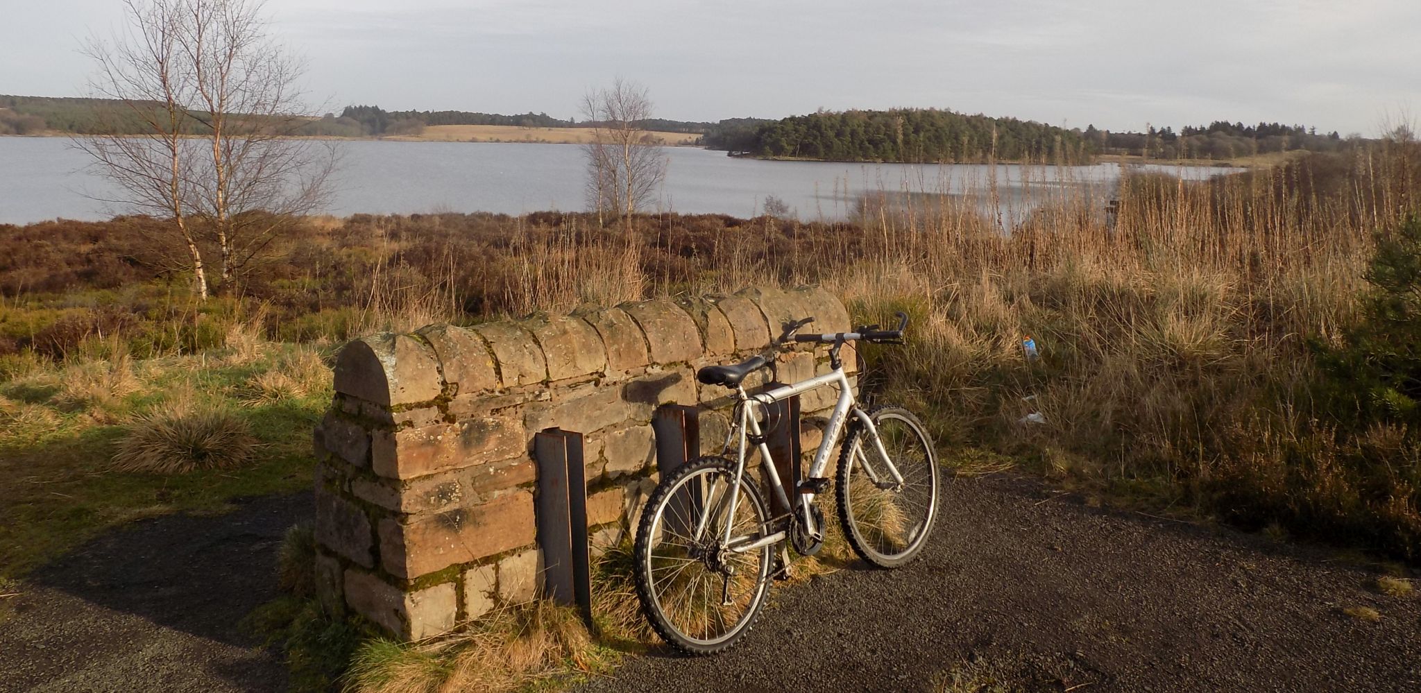 Hillend
Reservoir
|
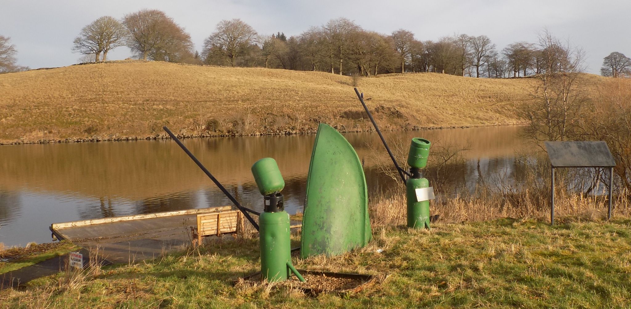 Sculptures
at Hillend
Reservoir
|
 Bridge
at end of Hillend
Reservoir
|
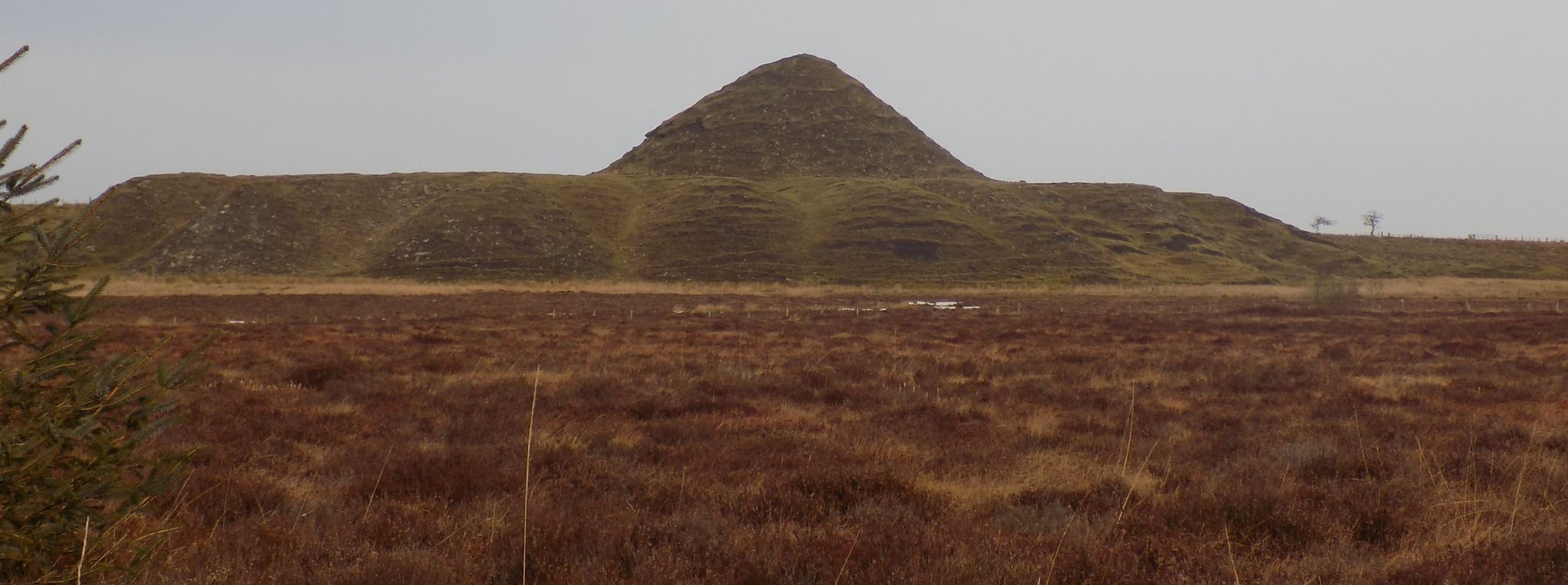 Old
bing on road north around loch
|
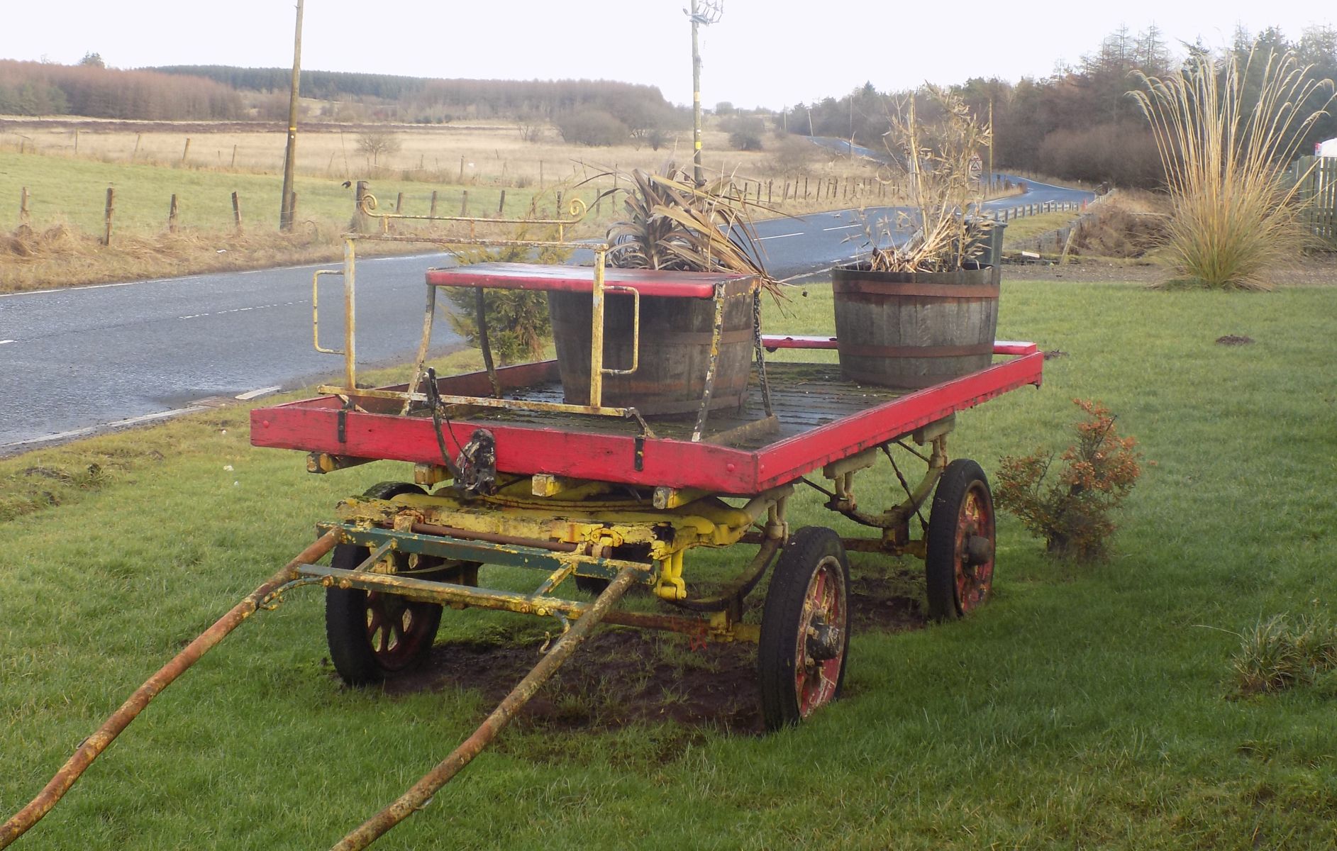 Ornamental
trailer on road around loch
|
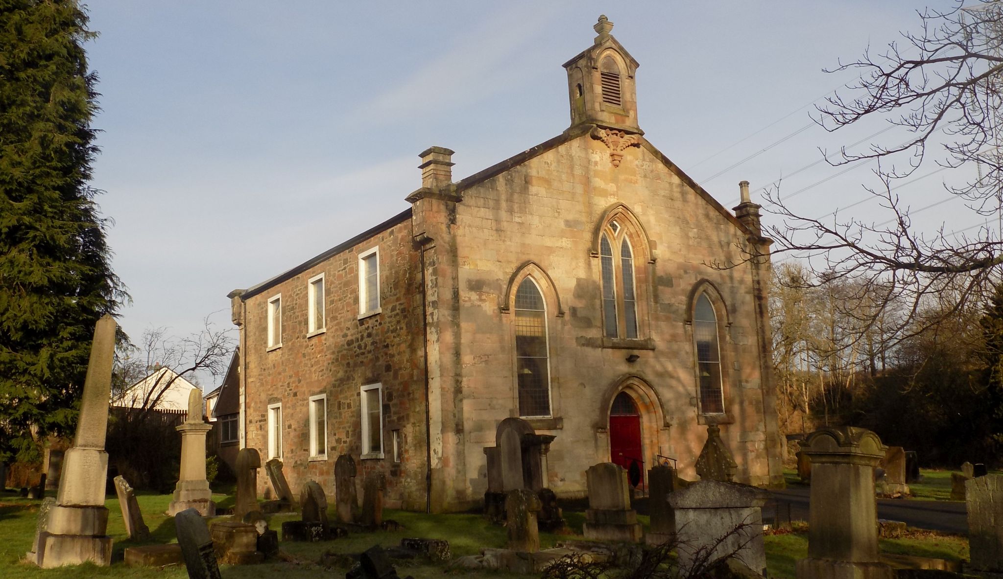
 Caldercruix
and Longriggend Parish Church
|
 Caldercruix
and Longriggend Parish Church
|
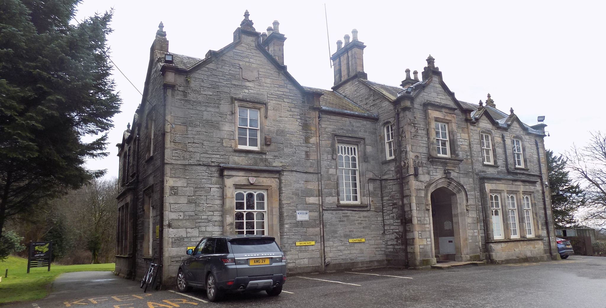 Easter Moffat
House
The club house at Easter Moffat Golf Club A Tudor Gothic mansion house built c1838 |
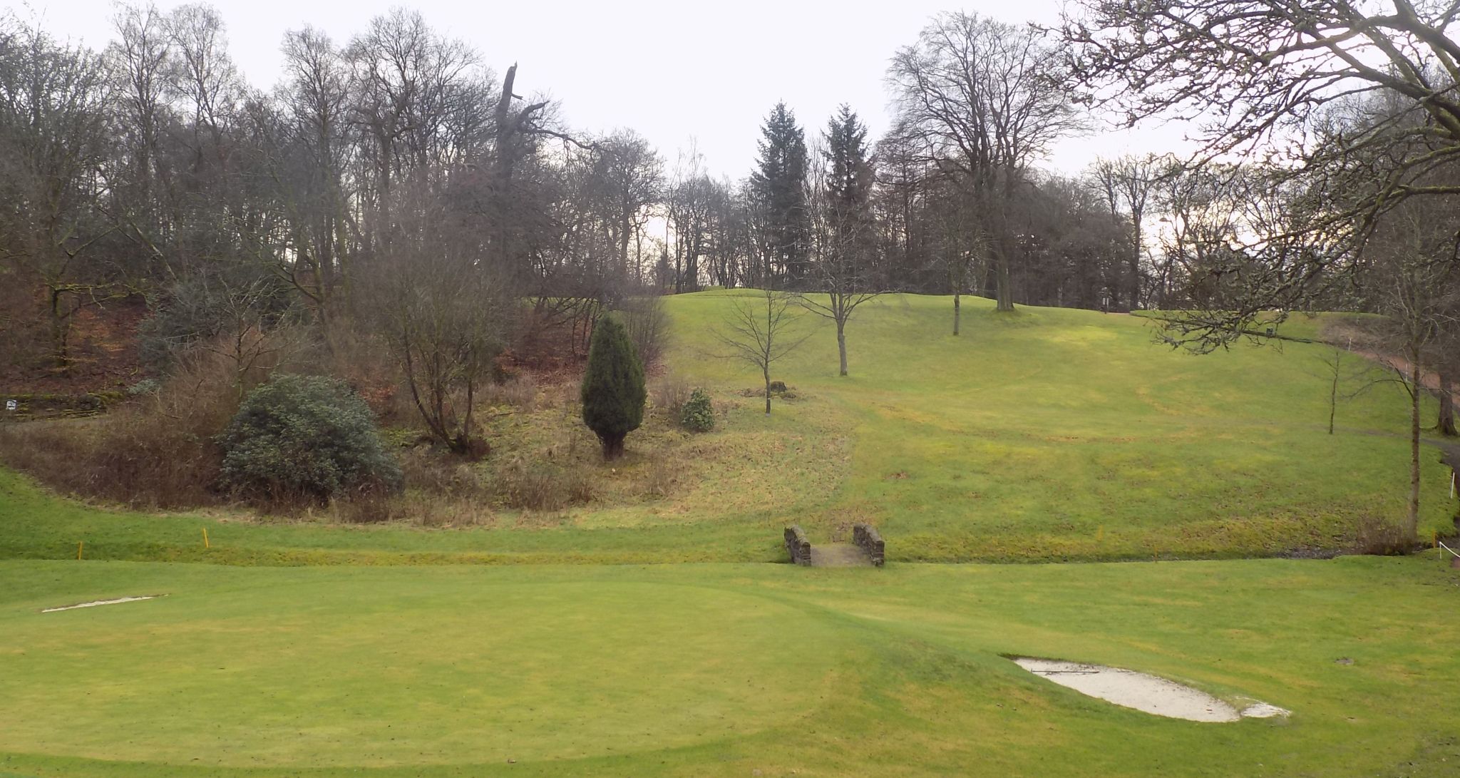 Fairway at Easter
Moffat House
|
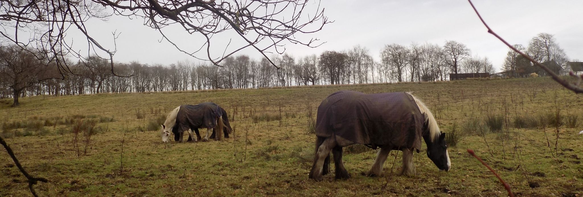 Horses above the
driveway
to Easter Moffat Golf Club |
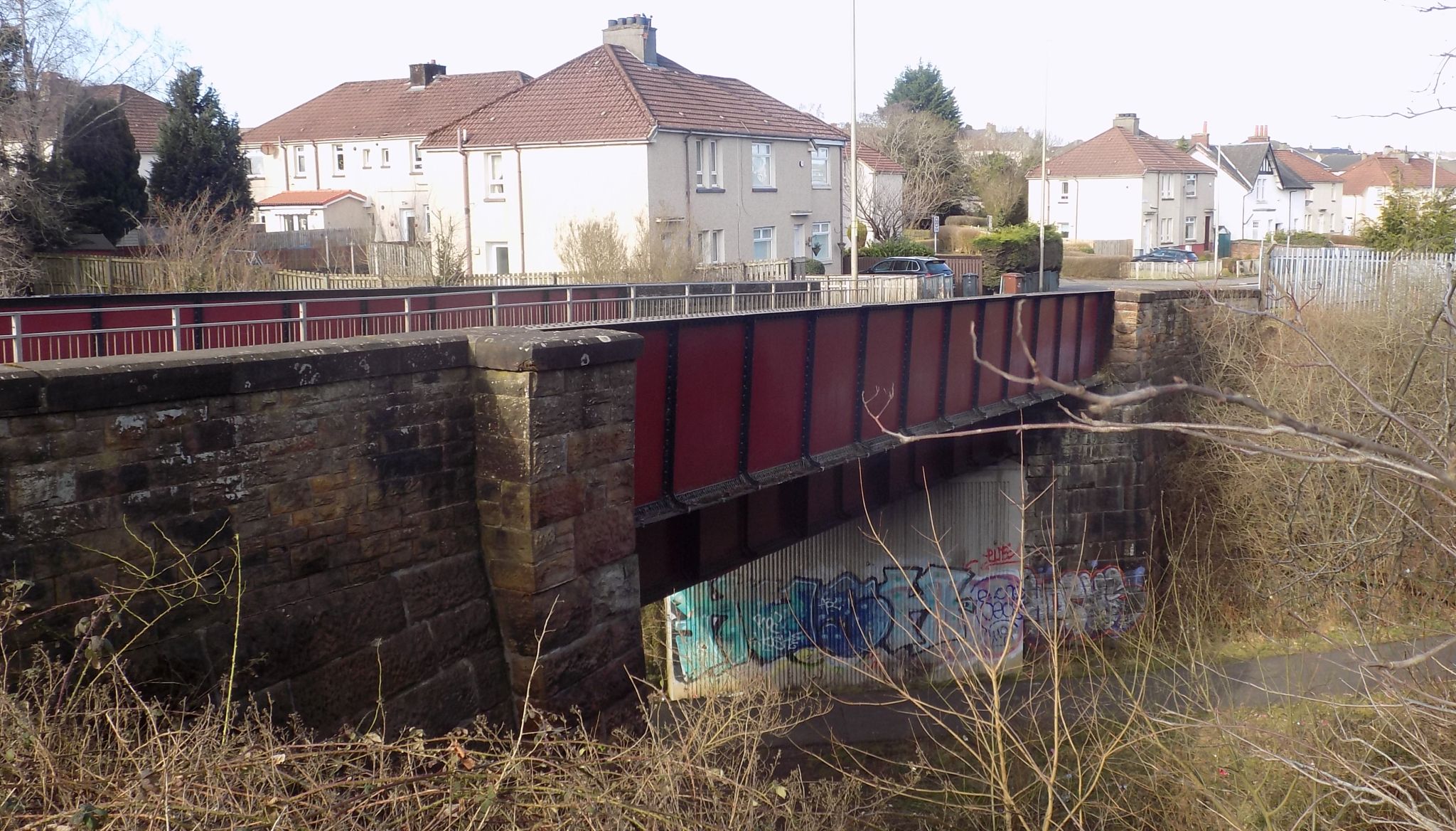 Iron Bridge near
Drumgelloch
|
 Brownsburn
Community Park
|
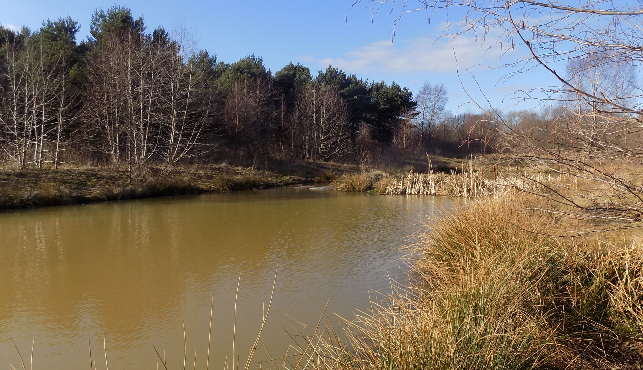 Lochan in
Brownsburn Community Park
|
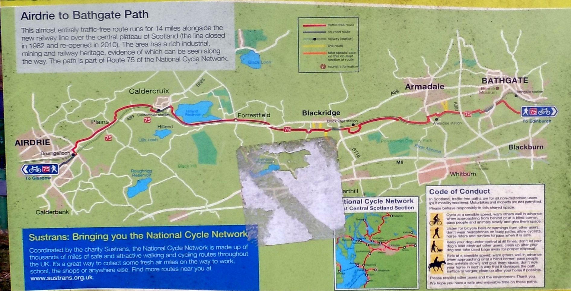 Map of
route from Airdrie to Bathgate
|
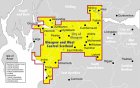
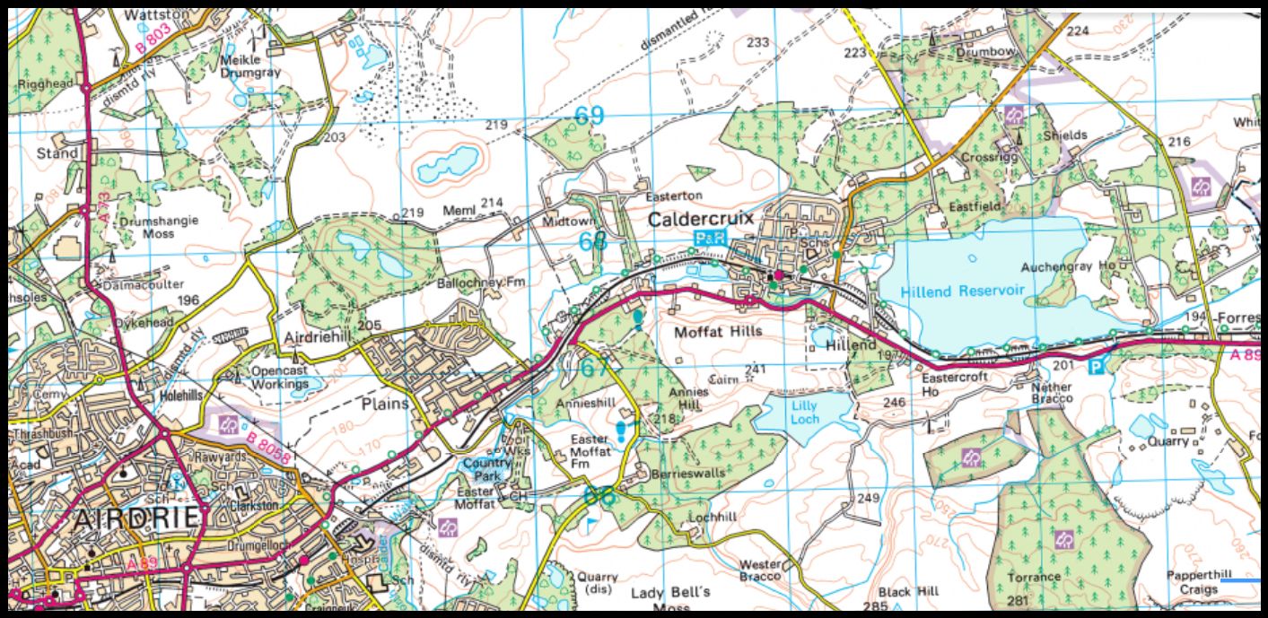 Map of
Airdrie and Hillend Reservoir
|
 Route
Map of
Airdrie and Hillend Reservoir
|
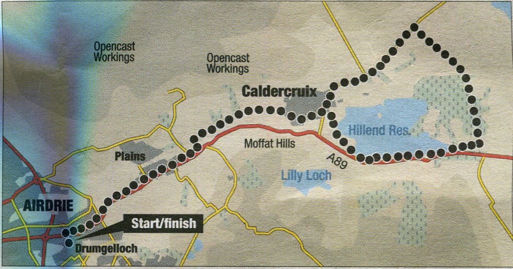
AIRDRIE & HILLEND RESERVOIR CIRCUIT - ROUTE DESCRIPTION:
Location: North Lanarkshire
Map: OS Landranger 64, 65
Distance: 13 miles (21 km)
Tune: 1-2 hours
Terrain: small hills; paths, quiet roads
Get some gentle training in for this surprisingly rural and scenic Central Belt cycle.
The 13-mile ( 21km ) trip shares much of its length with the Sustrans Edinburgh to Glasgow National Cycle Network Route 75.
From Drumgelloch train station, join the A89 to pedal east - you soon join a shared-use path beside the road.
After Plains, follow a sign by Ford Bridge onto an excellent section of traffic-free cyclepath.
This was built by Network Rail when the Airdrie to Bathgate rail link was opened in 2010, as a previous cycle route followed the old track bed.
From 1862, the railway transported coal, ironstone and lime-stone to works in Monklands, which played a major role in Scotland’s development as a great industrial nation.
The line was closed to passengers in 1956 and to freight in the 1980s. The reinstated link is Scotland’s longest new setion of passenger railway to be built in more than 100 years.
A rise will warm your legs on the approach to Caldercruix.
Follow NCN '75 across a B-road and round a corner to see the pretty Hillend Reservoir jump into view.
Leave the cyclepath after passing a Scots pine clad promontory at the far end of the reservoir to join a minor road and go left.
Hillier moorland is crossed with extensive hill views before meeting the B-road for Caldercruix and the return to Airdrie.
NCN 75: CALDERGRUIX TO BATHGATE
Spanning the border between North Lanarkshire and West Lothian, this section of the National Cycle Network Route 75 (NCN 75) is a
leisurely 11 miles (17km), with train stations dotted along the way that are easy to reach should a mechanical mishap befall your pedal-powered endeavours.
Starting from Caldercruix train station, make your way east to where the traffic-free cycle path begins. This leads past Hillend Reservoir and on
towards Blackridge.
On a Winter’s day, the stiff wind whipping over the water is glorious for blowing away the cobwebs.
One of the nicest sections comes after you cross the B-road above Blackridge to Westrigg Bing, where young, mixed woodland
sits on a former mine.
Continue on through A1-madale and into Bathgate where you can catch a train back to Glasgow or Edinburgh.
Sustrans National Cycle Network
 :: Airdrie Gallery
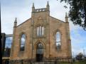
Glencoe | Ben Nevis | Knoydart | Isle of Skye | Isle of Arran
The Eastern Highlands | The Central Highlands | The Southern Highlands | The NW Highlands