 |
Campsie FellsSlackdhu Circuit
|
  |
Photographs of an ascent from Broadgate Farm in Blane Valley
and along the escarpment of the Campsie Fells
above Strathblane
from the Bannan Crags to Jenny's Lum
| |
Campsie FellsSlackdhu Circuit
|
|
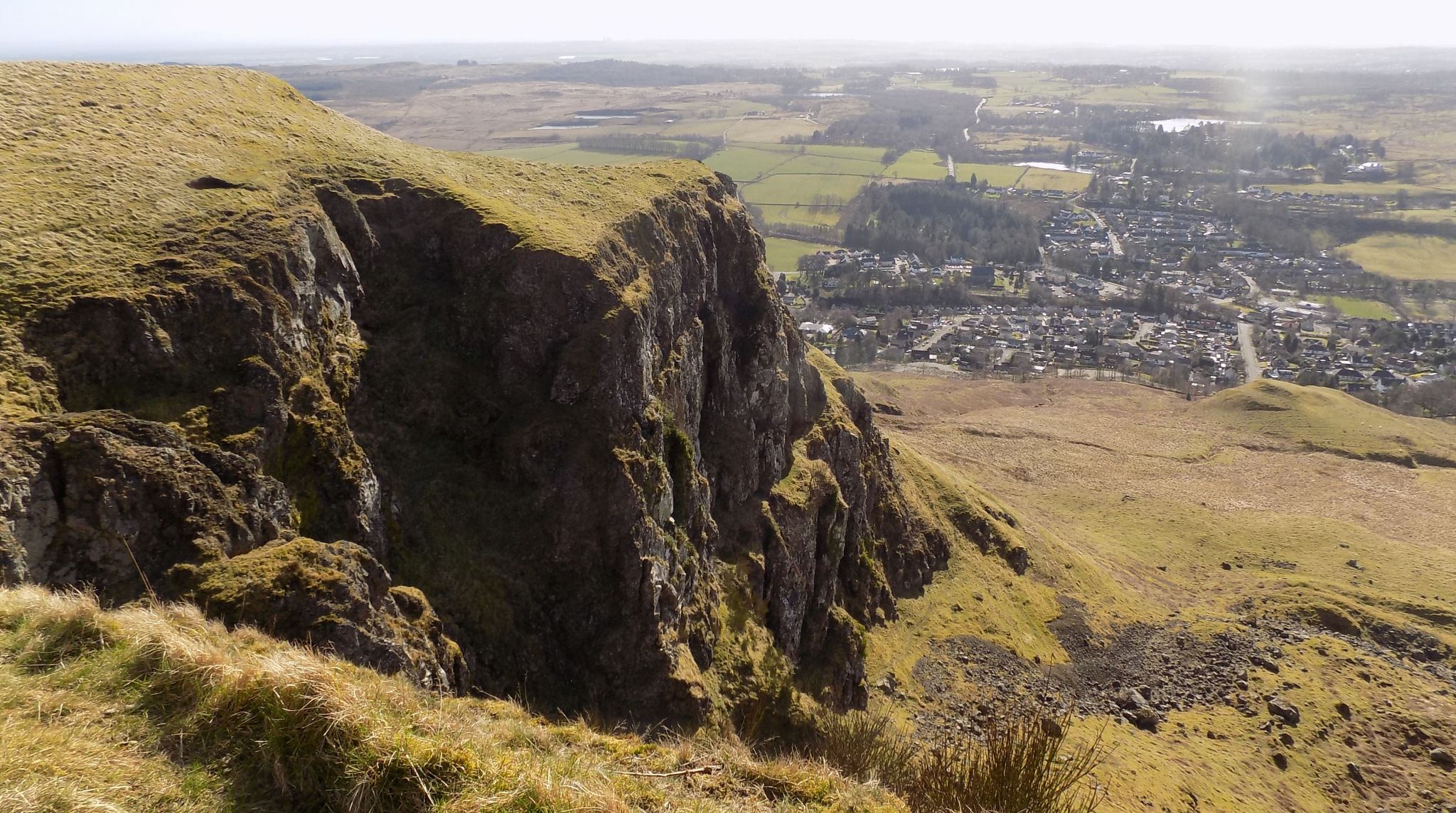
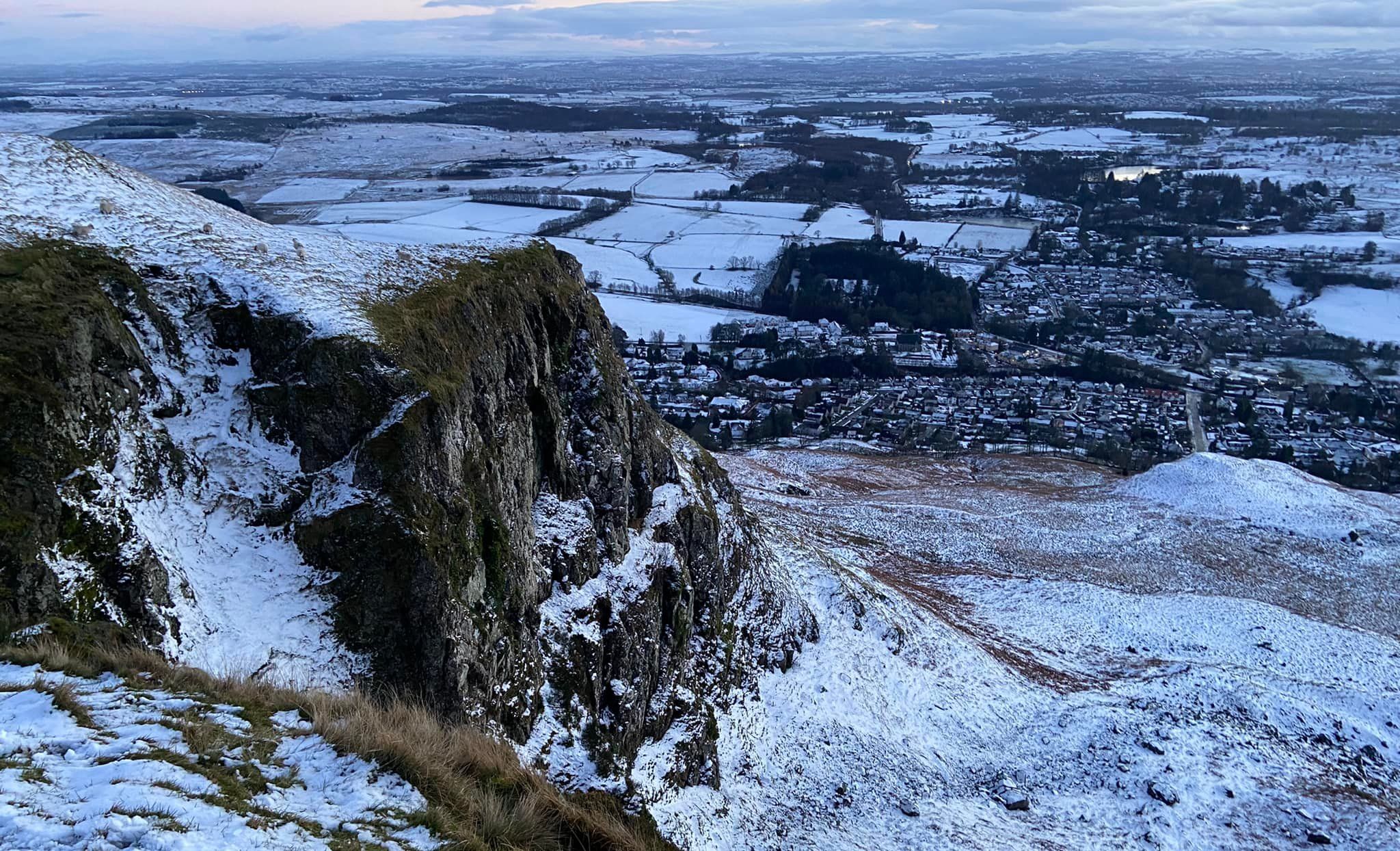
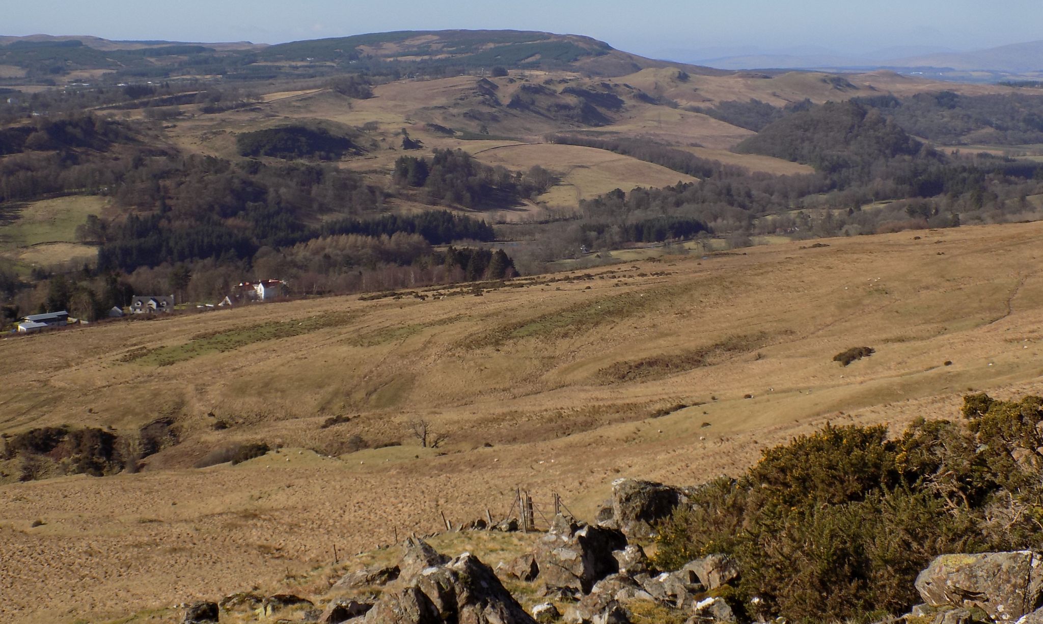
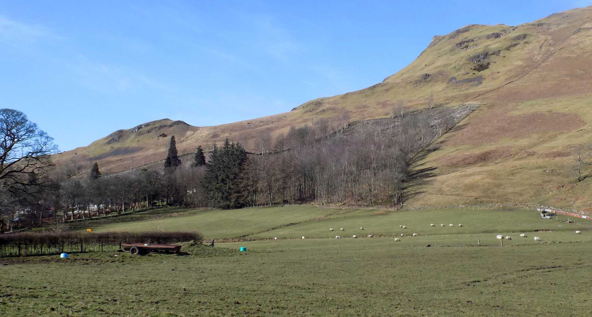
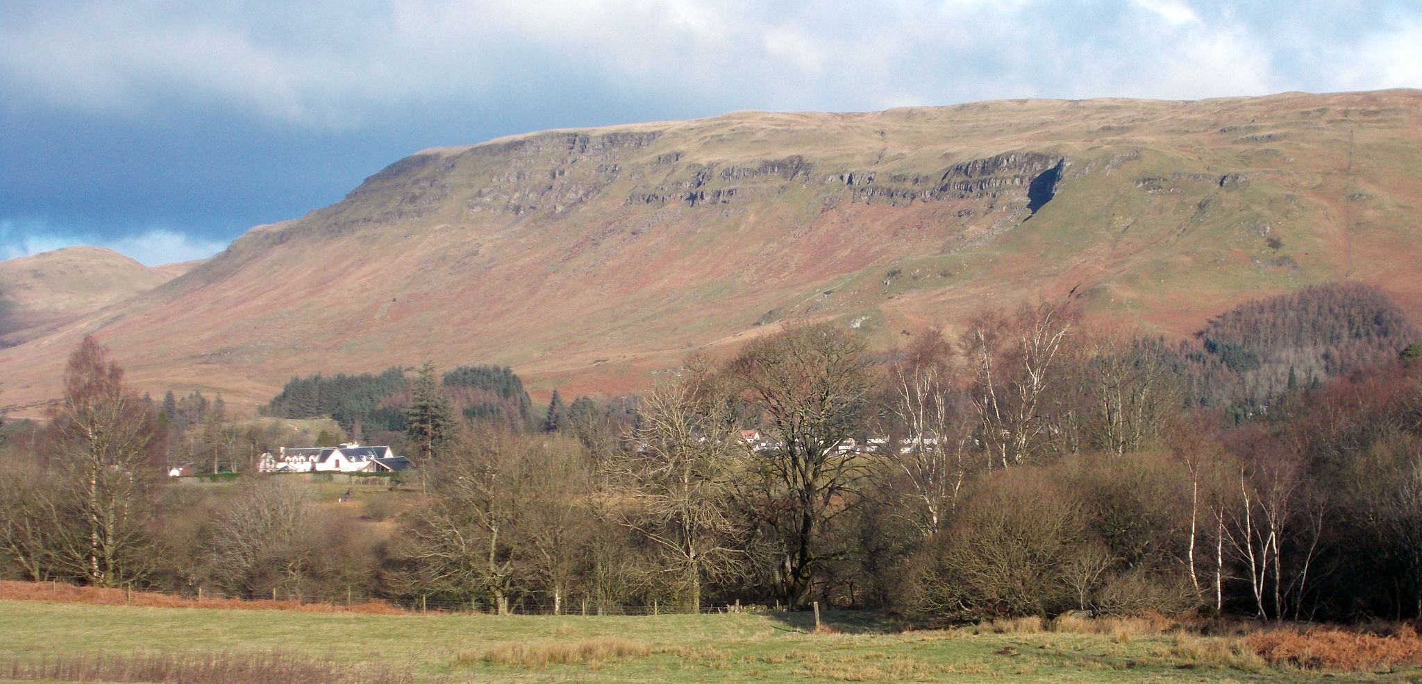 Campsie Fells above Strathblane
|
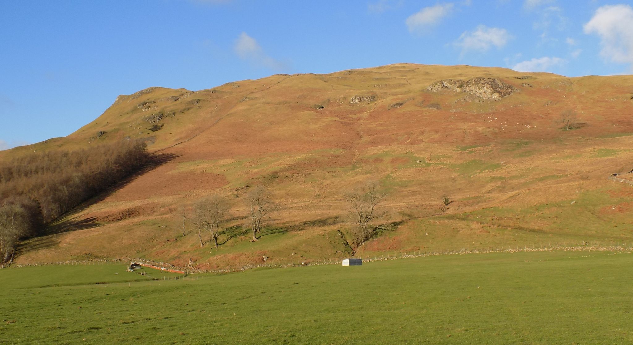 |
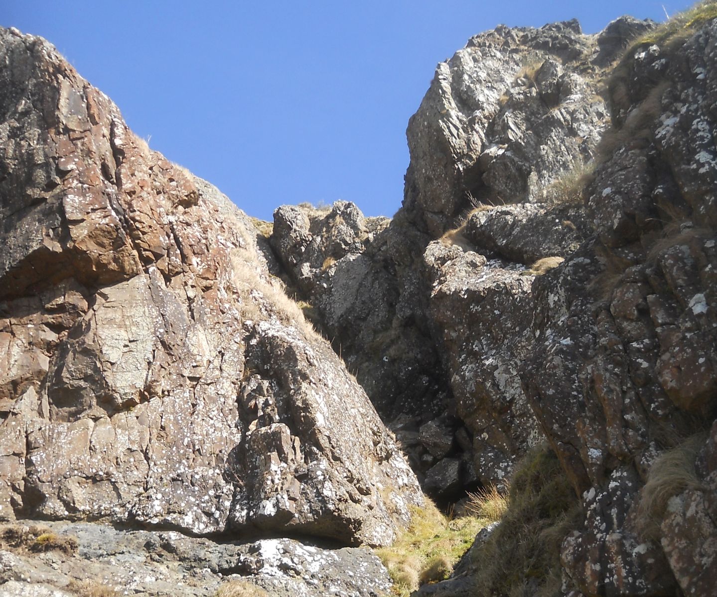
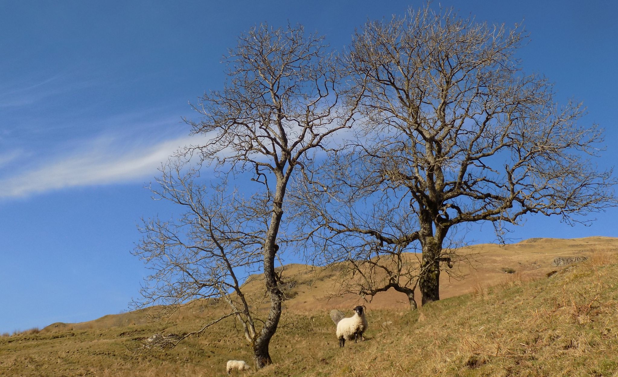
 On ascent to the
escarpment of the Campsie Fells
|
 On ascent to the escarpment of the Campsie Fells |
 |
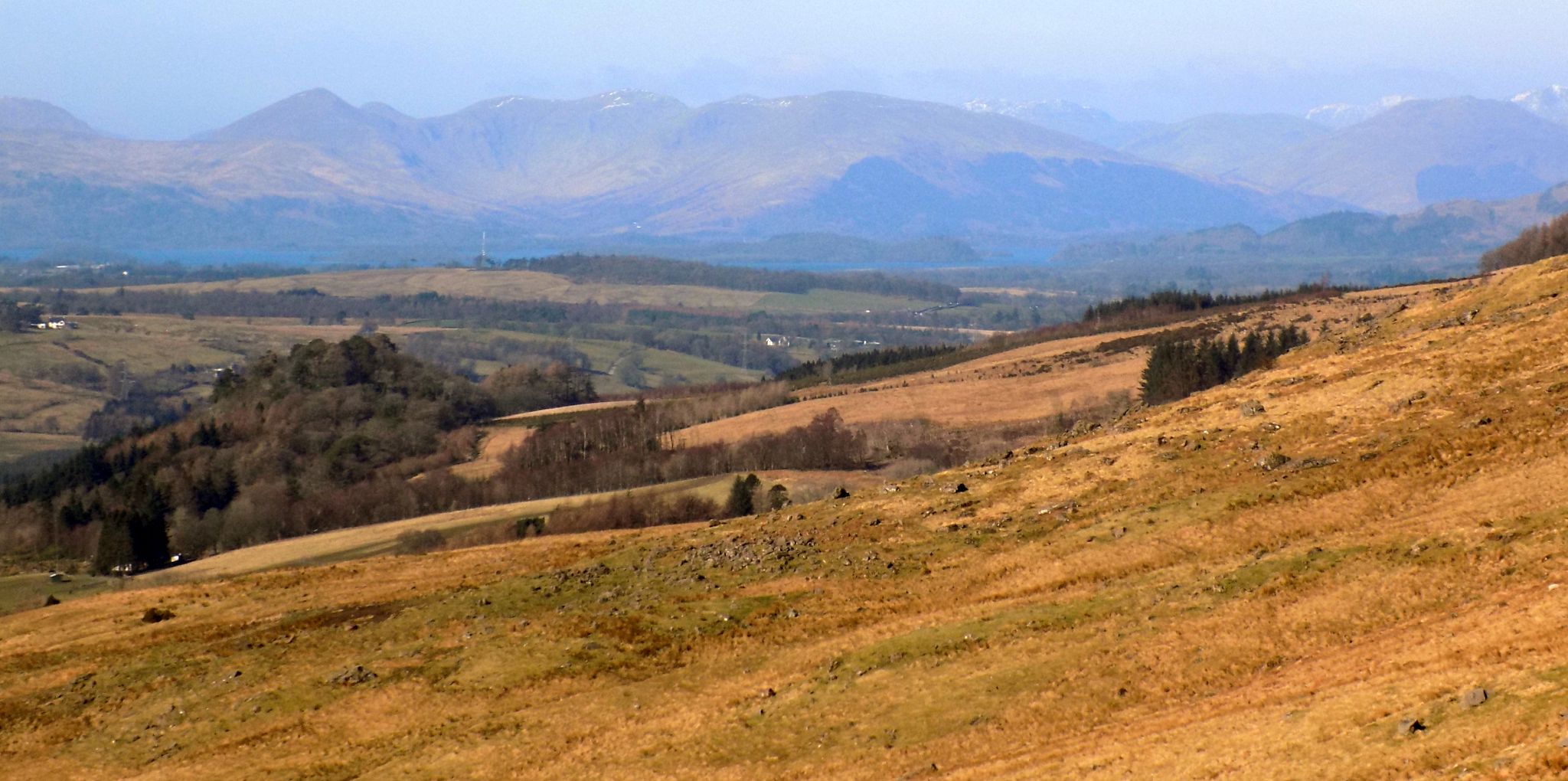 Luss Hills above Loch
Lomond
on ascent to the Bannan Crags |
 |
 |
 |
 |
 |
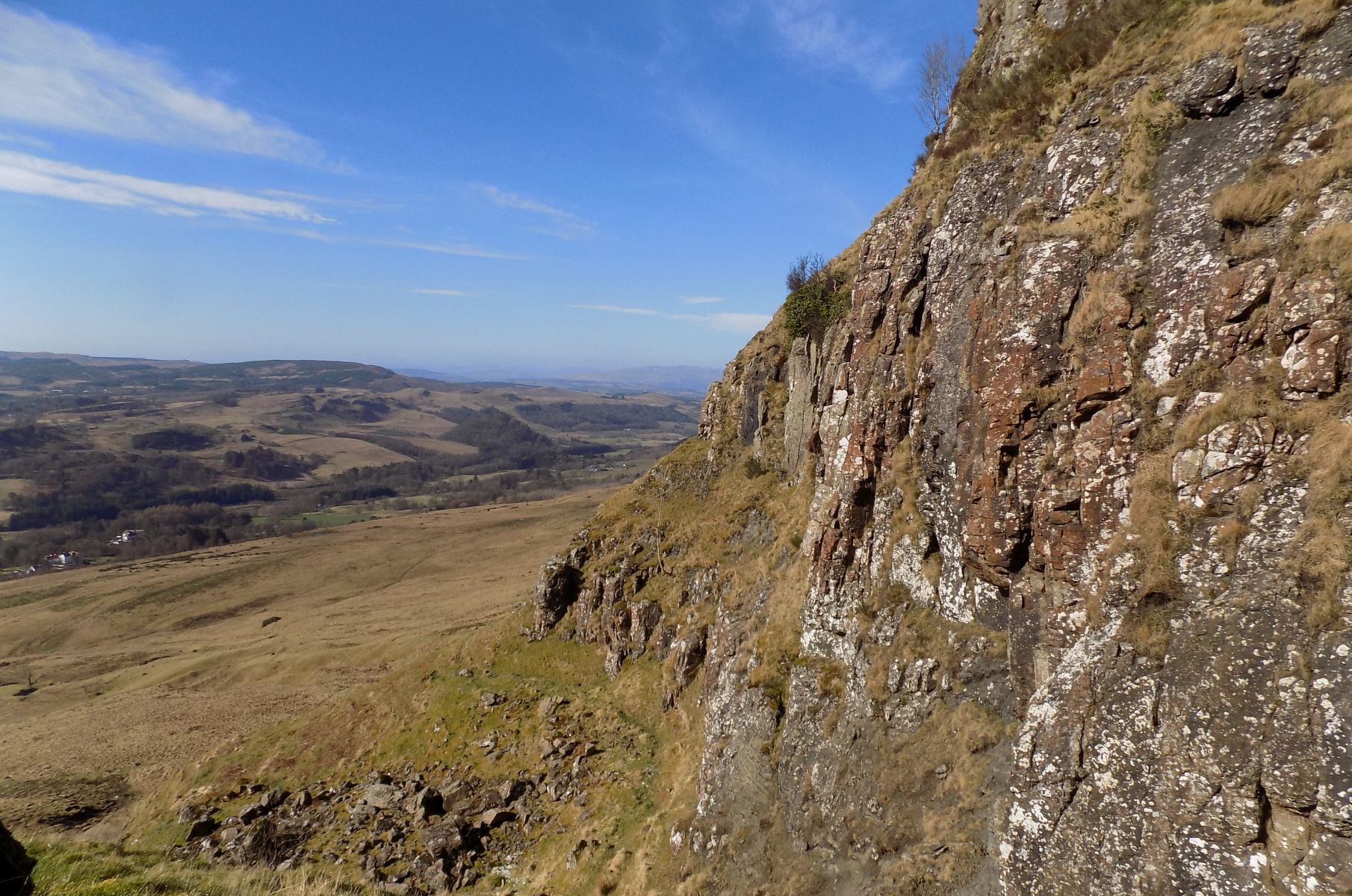 |
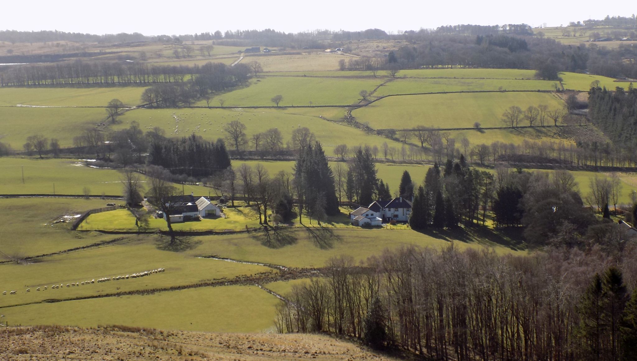
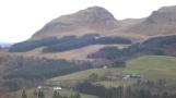
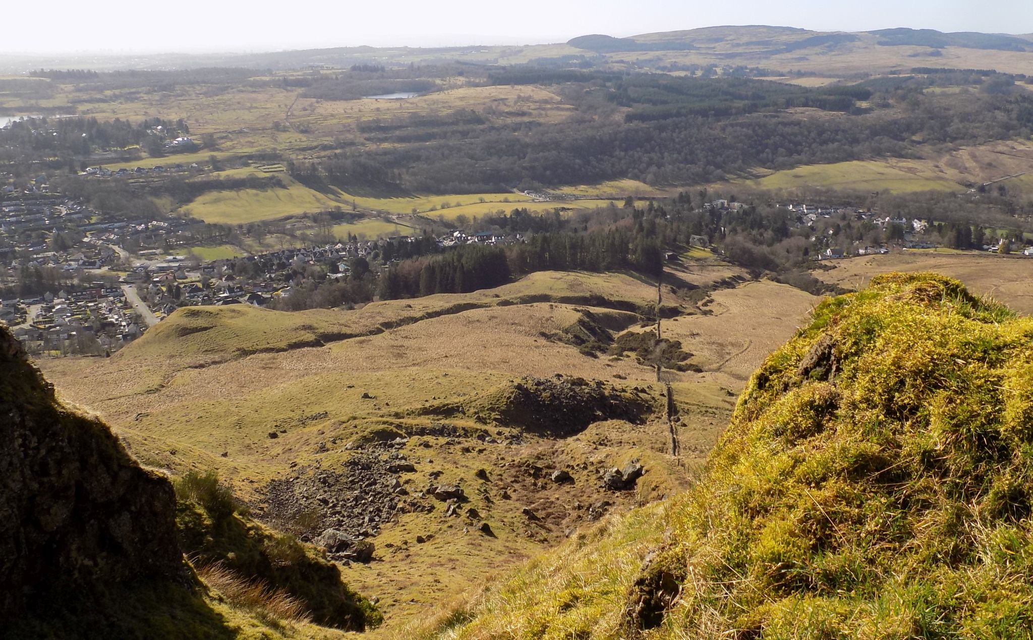 Strathblane
and the Kilpatrick Hills
from the Bannan Crags in the Campsie Fells |
|
|
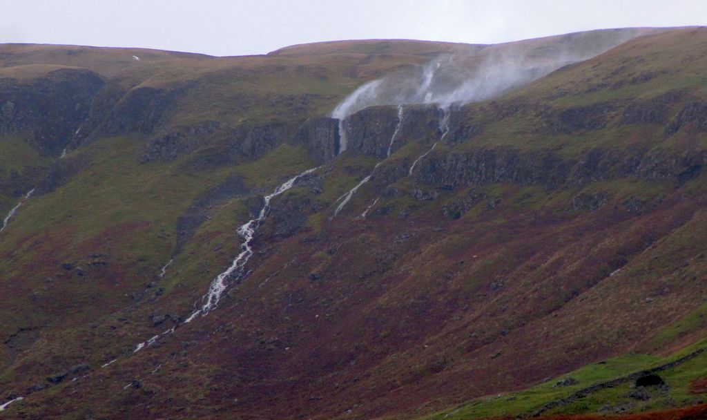
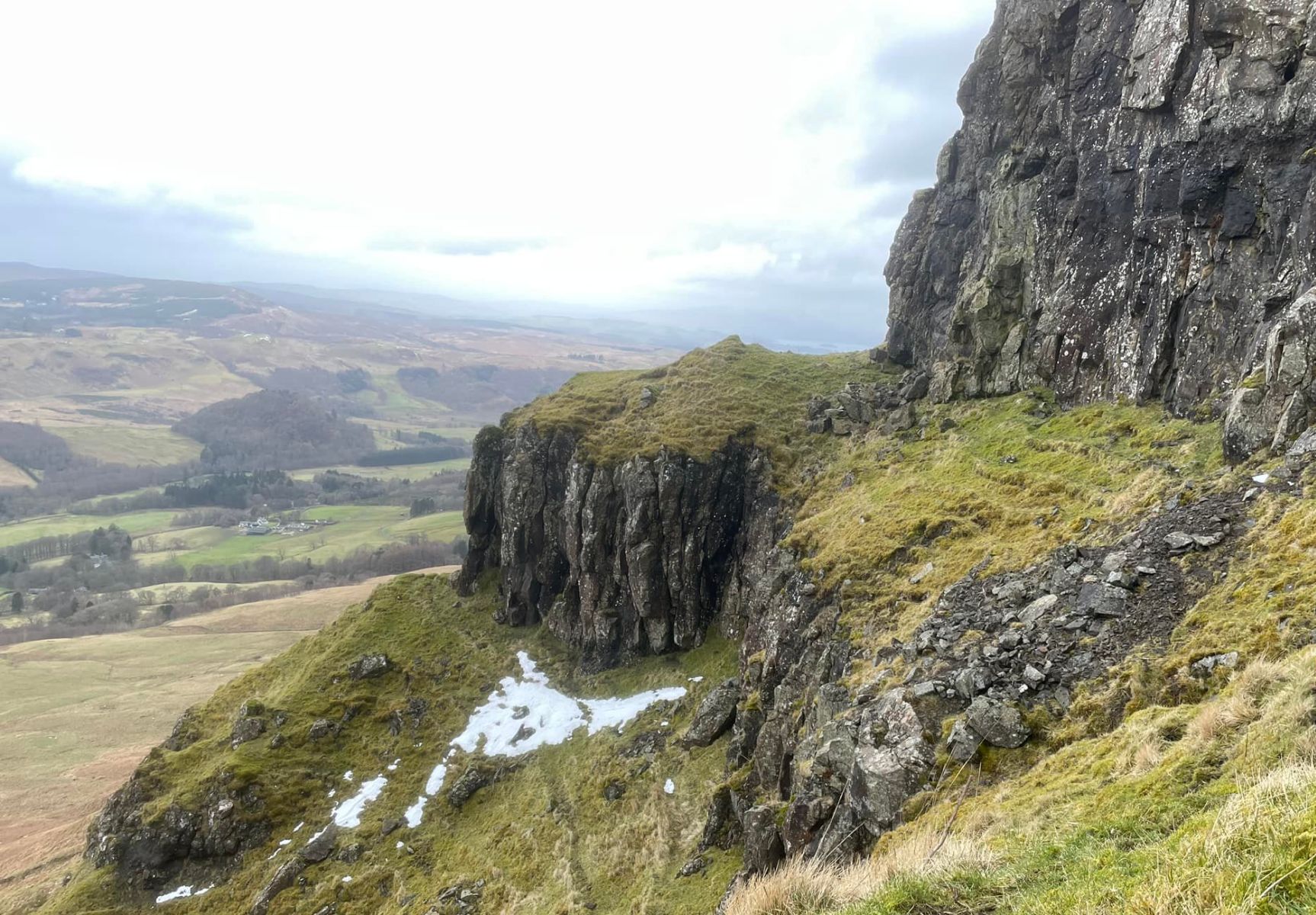
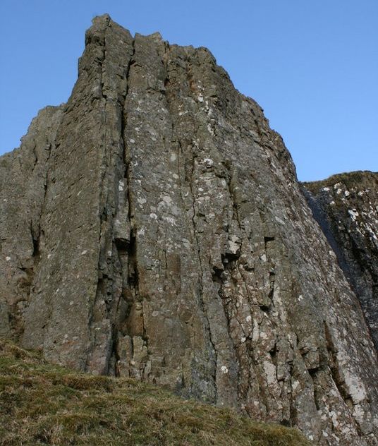
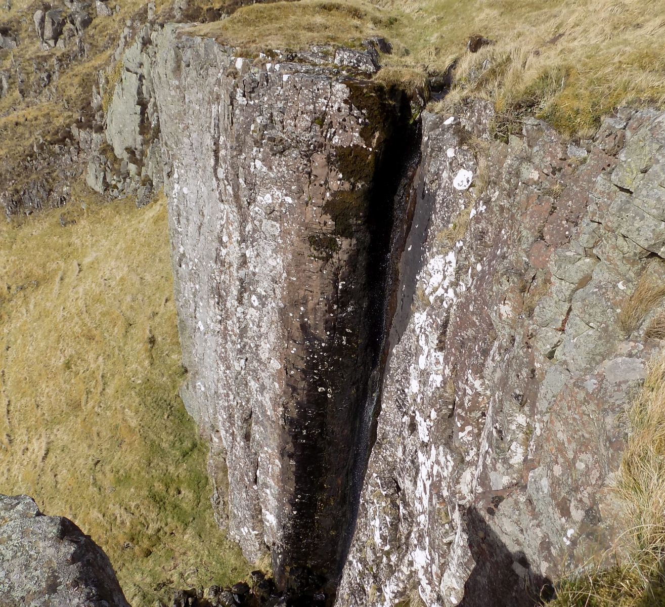
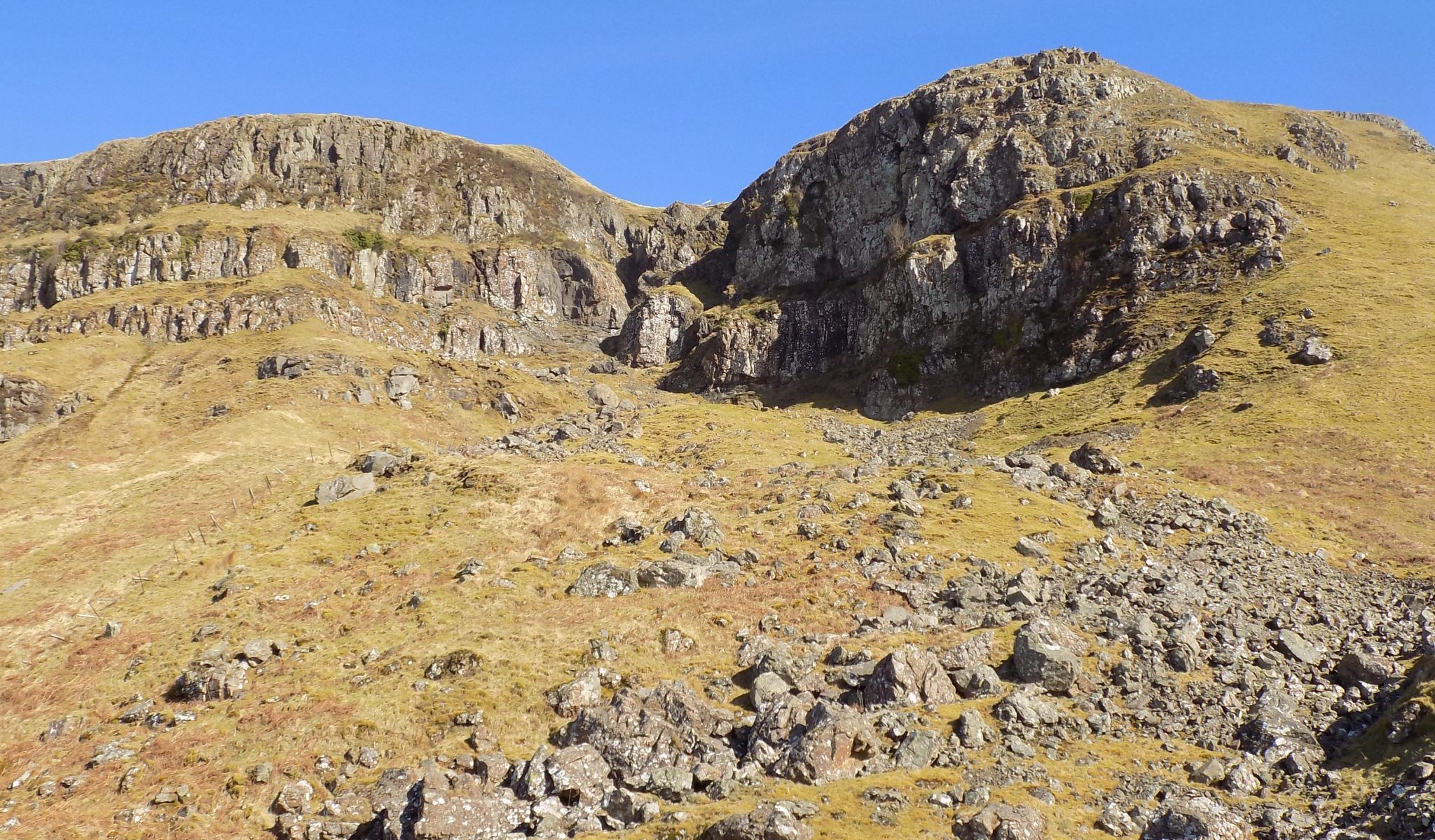
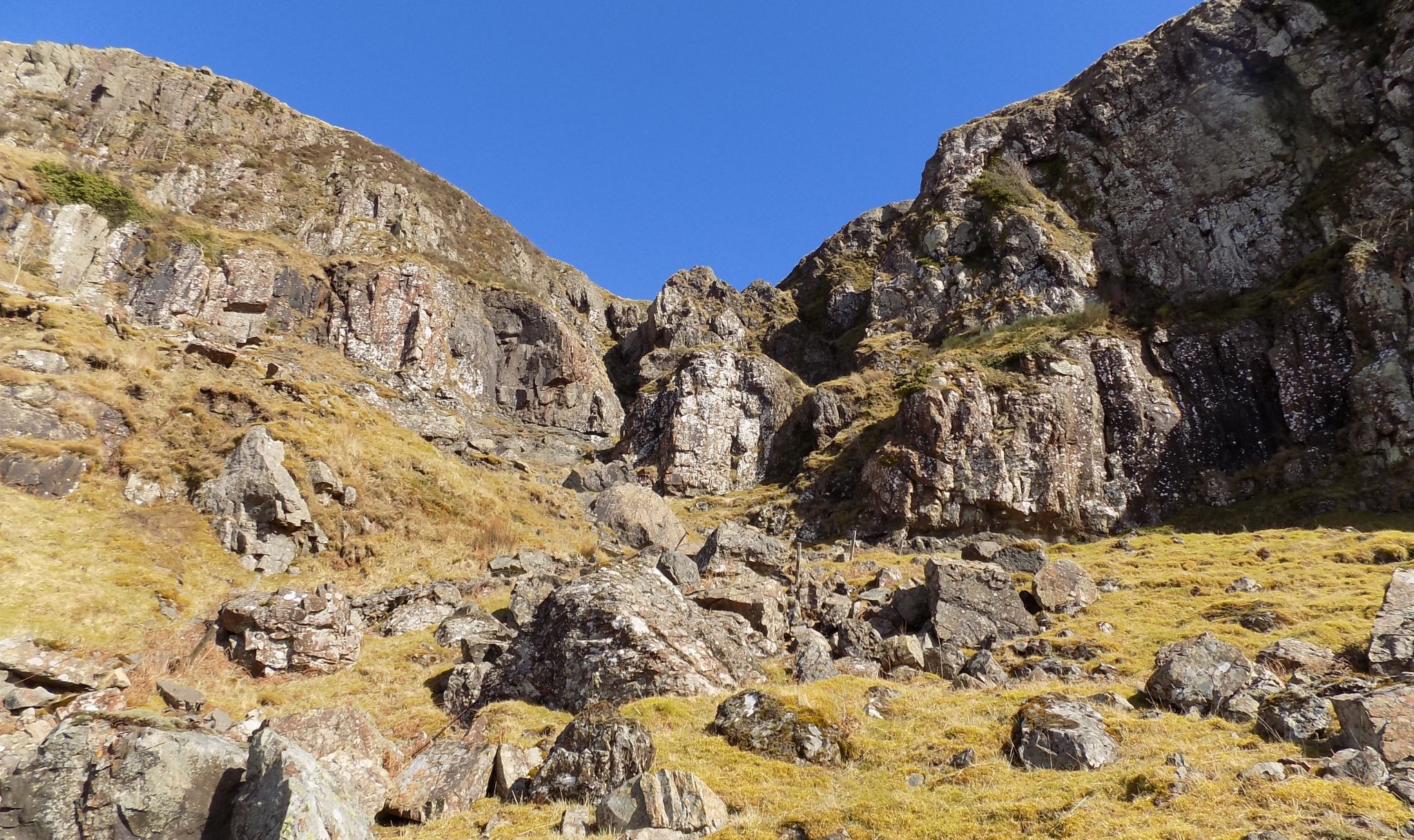
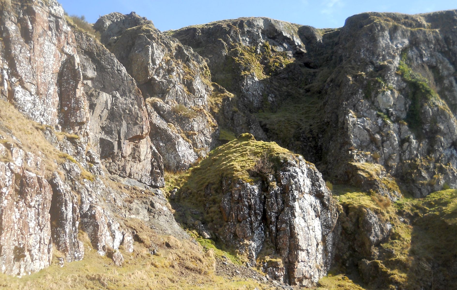
Jenny's
Lum in the Campsie
Fells above Blanefield
Jenny's LumWas
once a thatched cottage occupied by Jenny Brash,
after whom the Netherton Burn and Glen are often called, and whose "lum" far away on the top of the hills still "reeks" furiously when a storm is at its highest. Jenny's lum is a fissure in the rock through which the Netherton or Jenny's Burn flows through from the top of the Strathblane hills into the valley below. When the burn is in spate, and the wind strong from the south-west, the falling water is blown backwards and upwards and the volumes of spray so formed are exactly like the dense gray smoke that comes out of a chimney - hence the name. |
 |
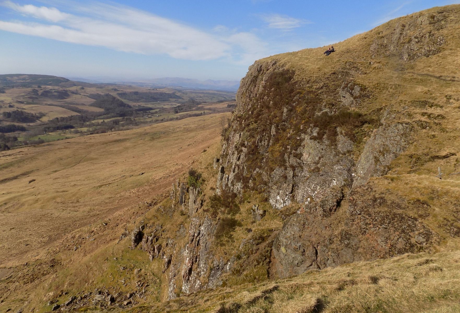
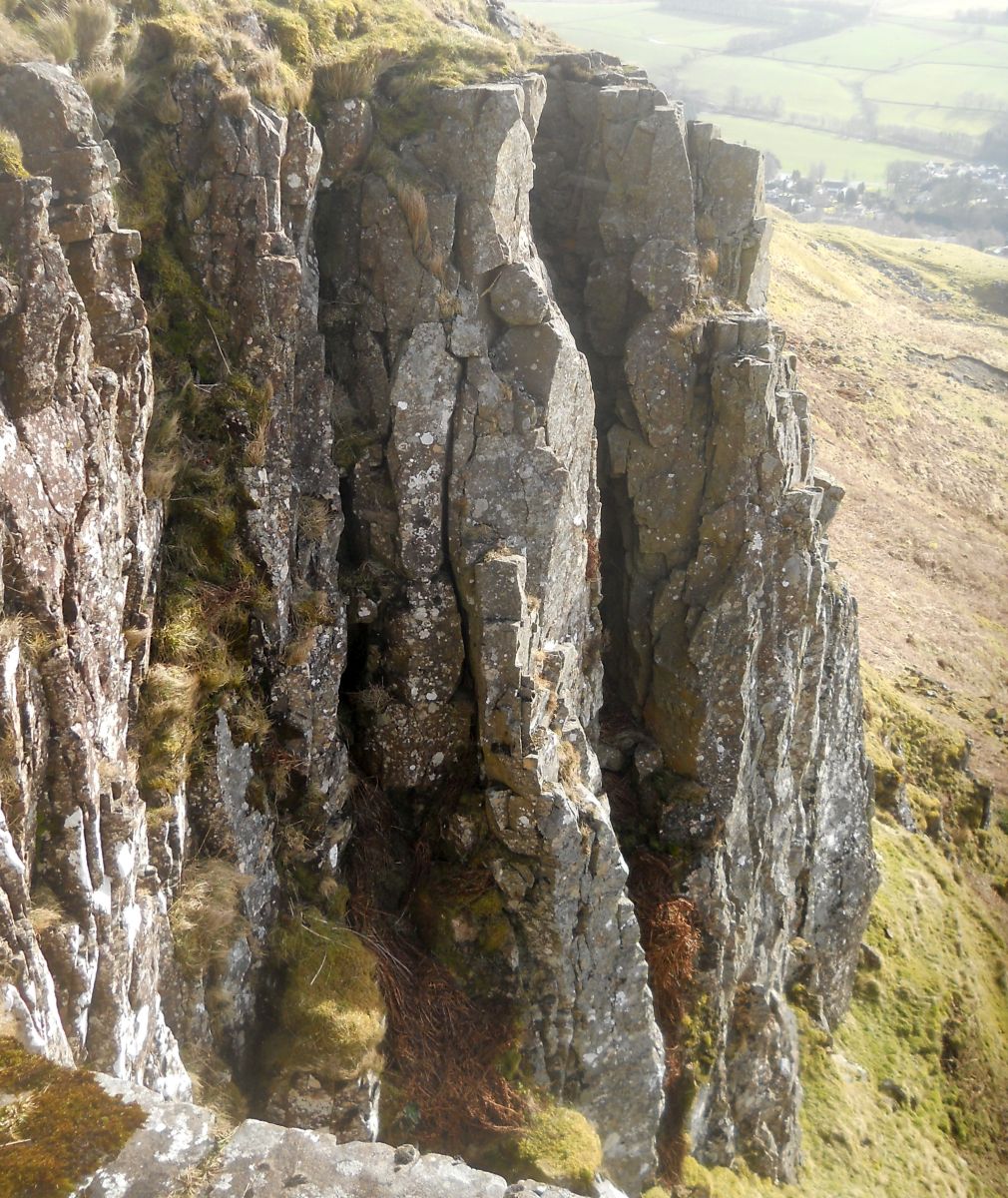
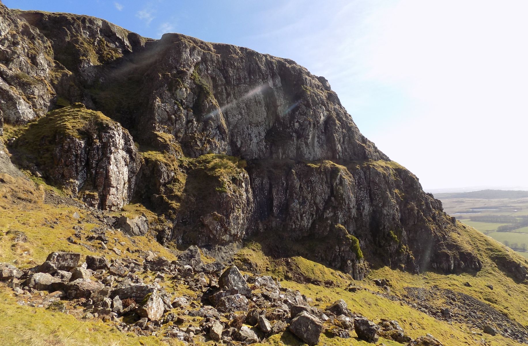
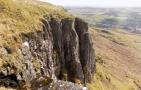
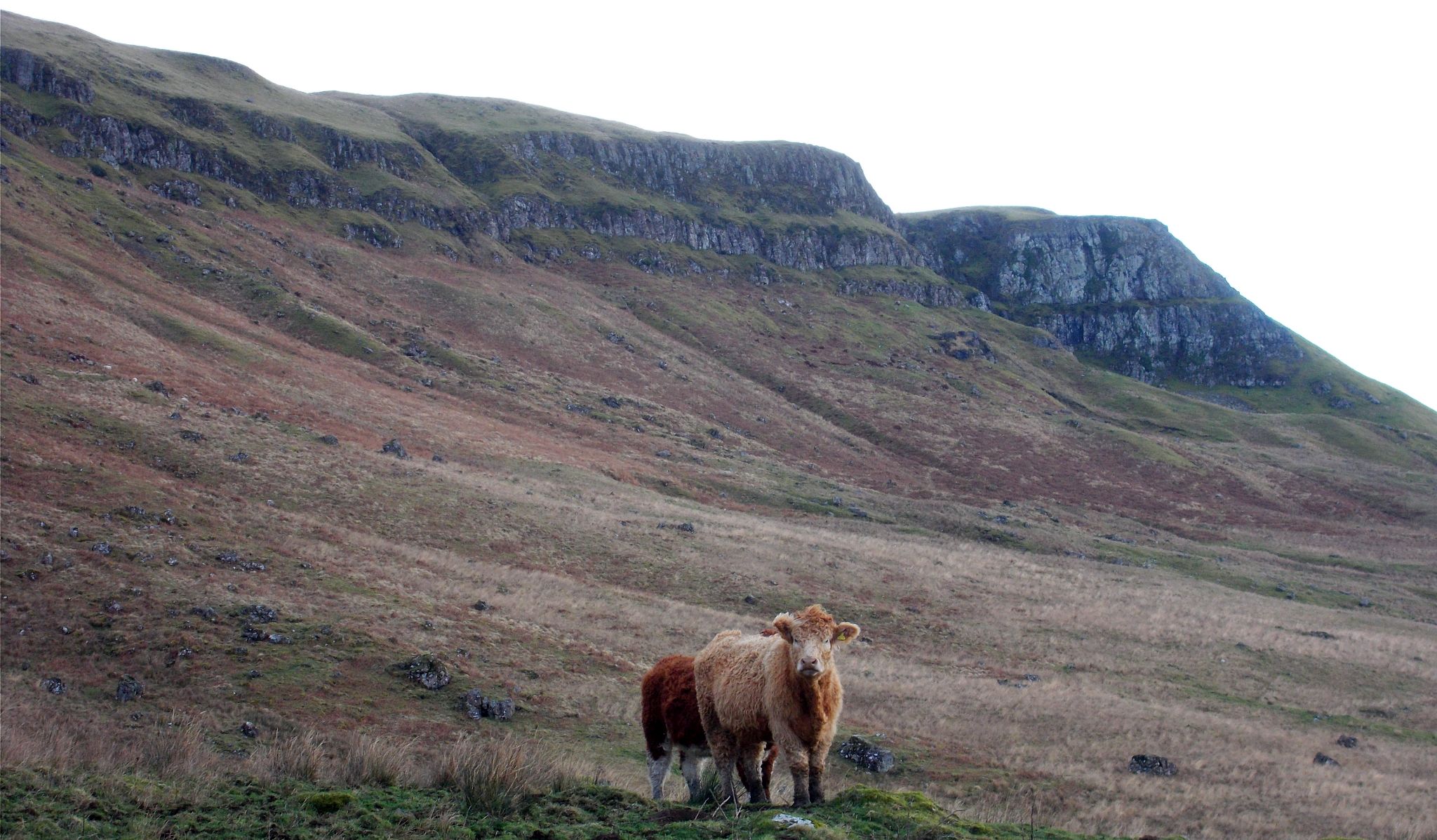 The escarpment of
the Campsie Fells
|
 |
 |
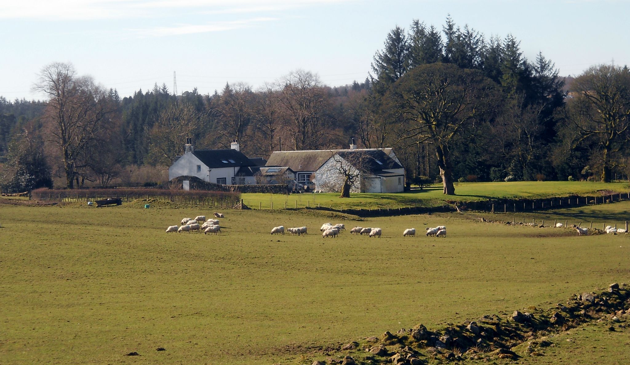
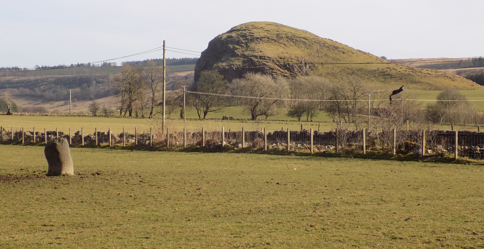 Dunglass
and standing stone ( Menhir )
in Broadgate Farm |
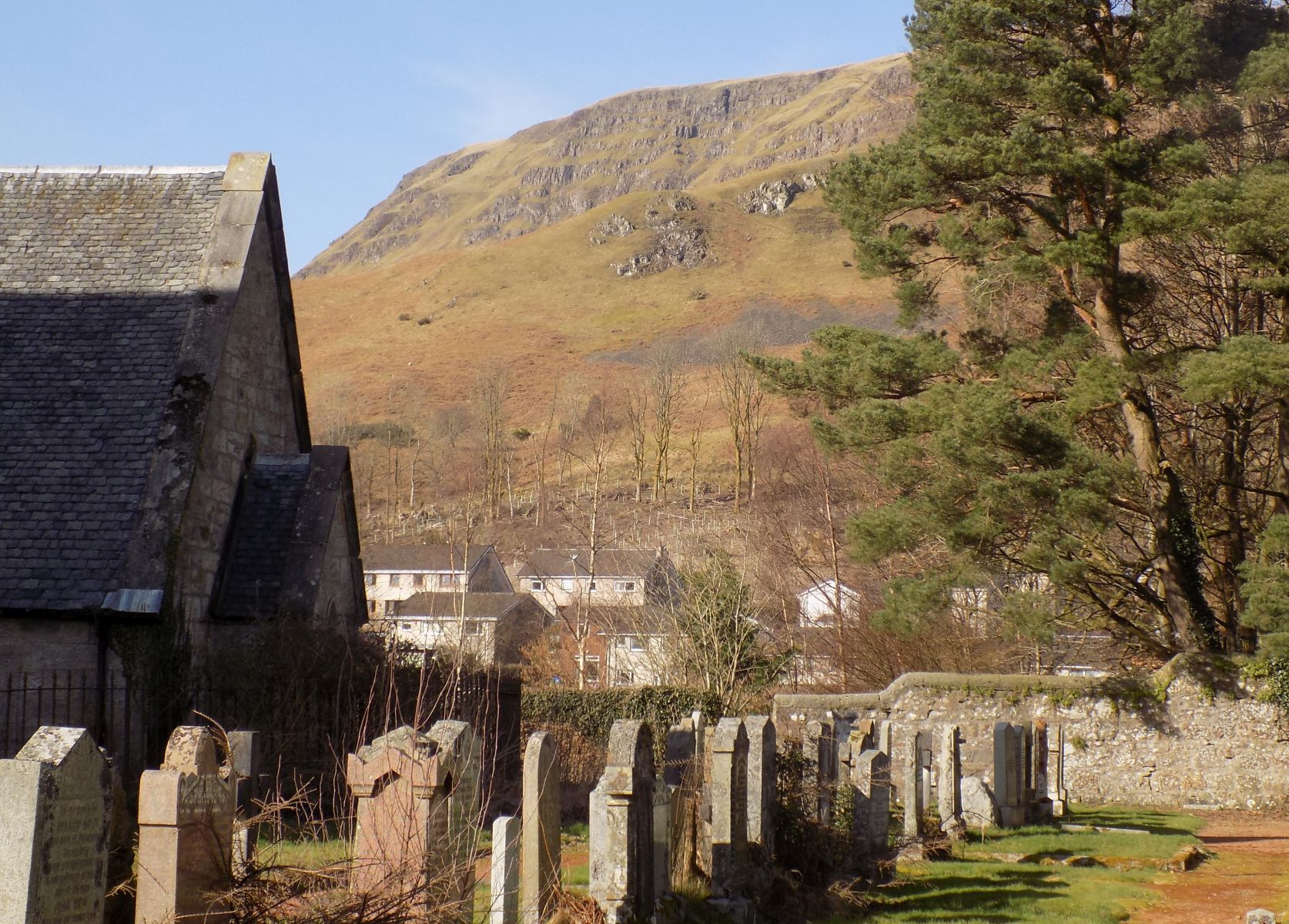 Strathblane
Parish Church ( built
1803 )
beneath the Campsie Fells |
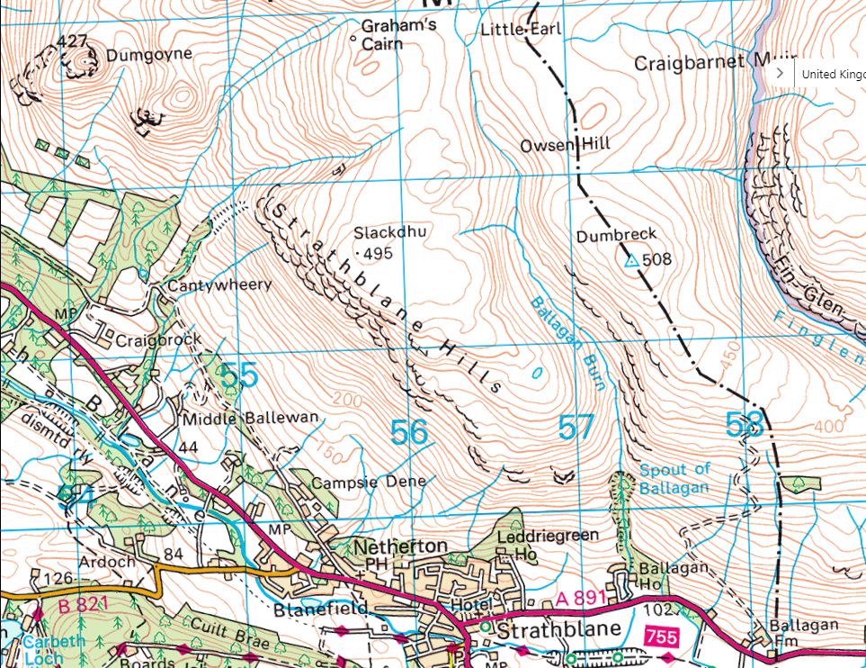 |
 :: Black Craig
& Slackdhu Gallery
:: Black Craig
& Slackdhu Gallery 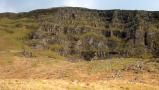 :: Dumbreck
& Ballagan Glen Gallery
:: Dumbreck
& Ballagan Glen Gallery 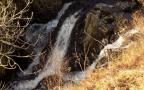
Glencoe | Ben Nevis | Knoydart | Isle of Skye | Isle of Arran
The Eastern Highlands | The Central Highlands | The Southern Highlands | The NW Highlands