 |
Bearsden & DistrictCampsie Fells |
  |
| |
Bearsden & DistrictCampsie Fells |
|
Photographs
of the pipe track from Blanefield
to
Killearn
beneath
Dumgoyne in the Campsie
Fells
 The
War Memorial in Blanefield
|
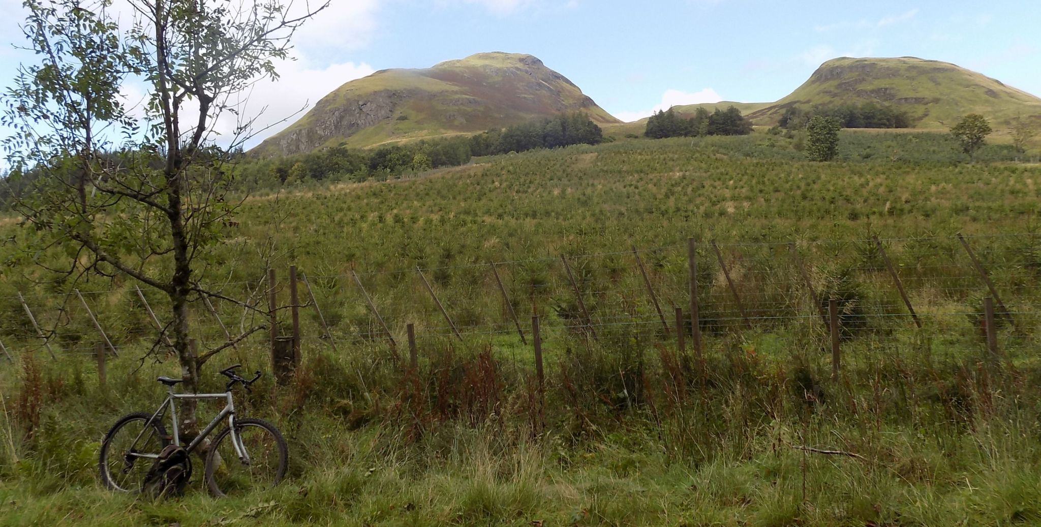
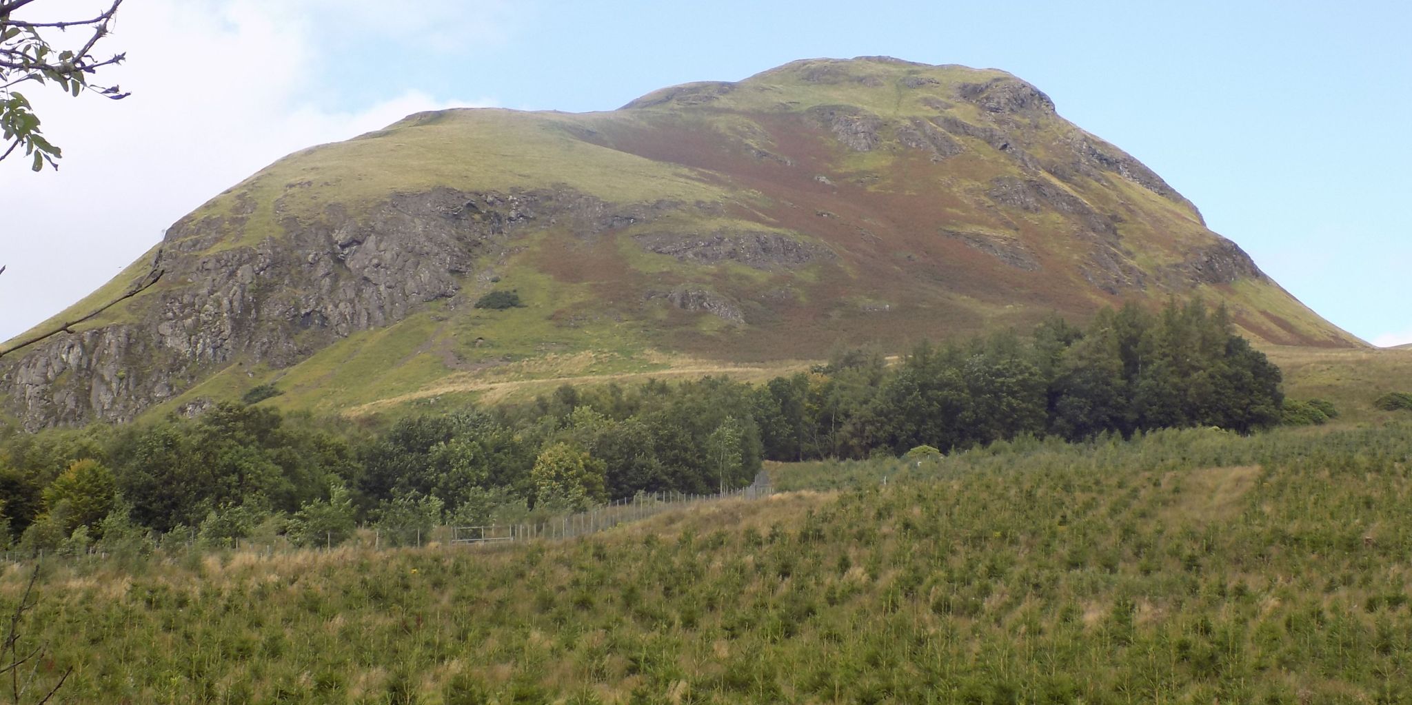
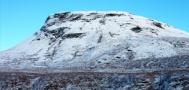
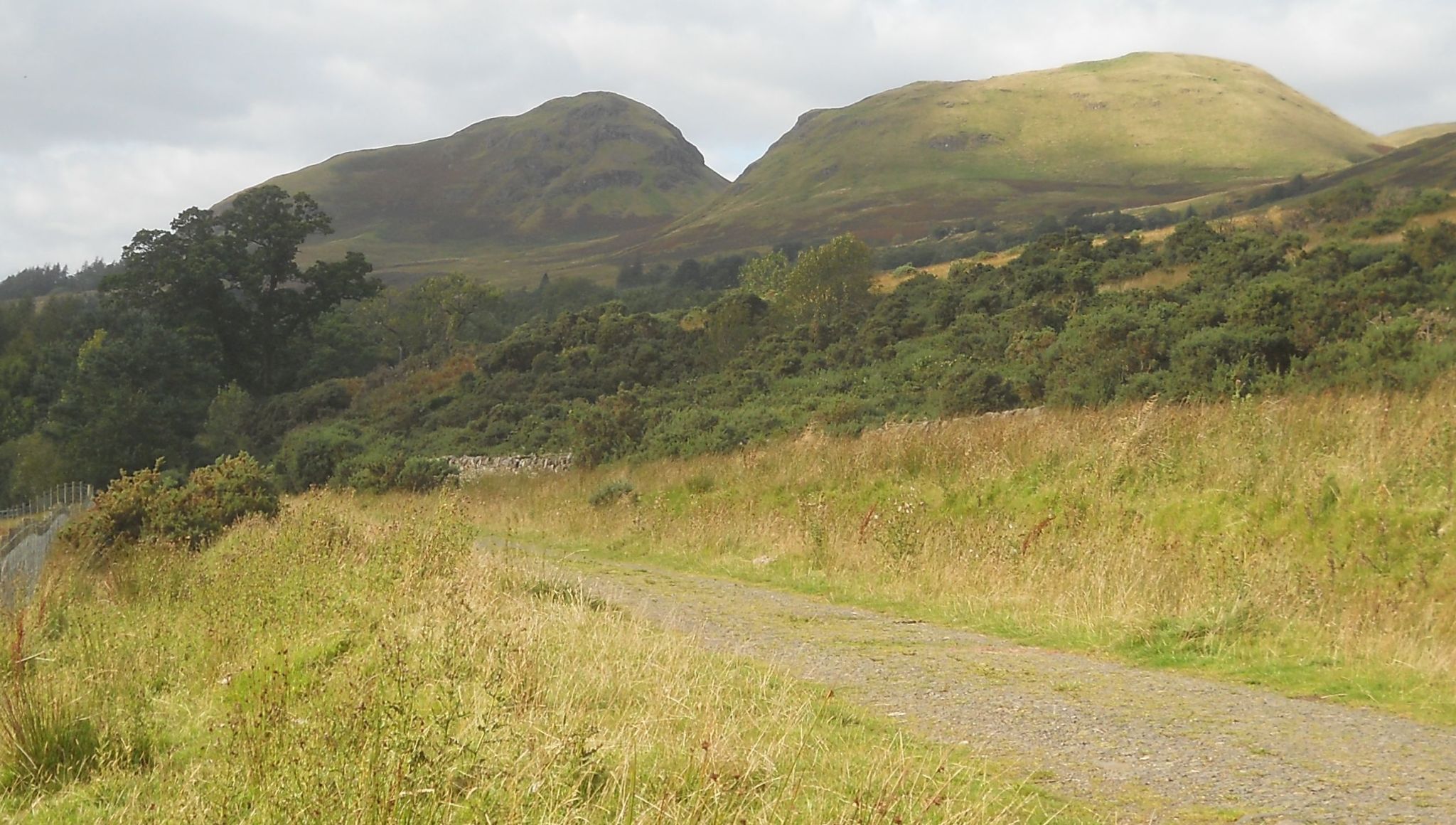 Dumgoyne
and Dumfoyne
in the Campsie Fells |
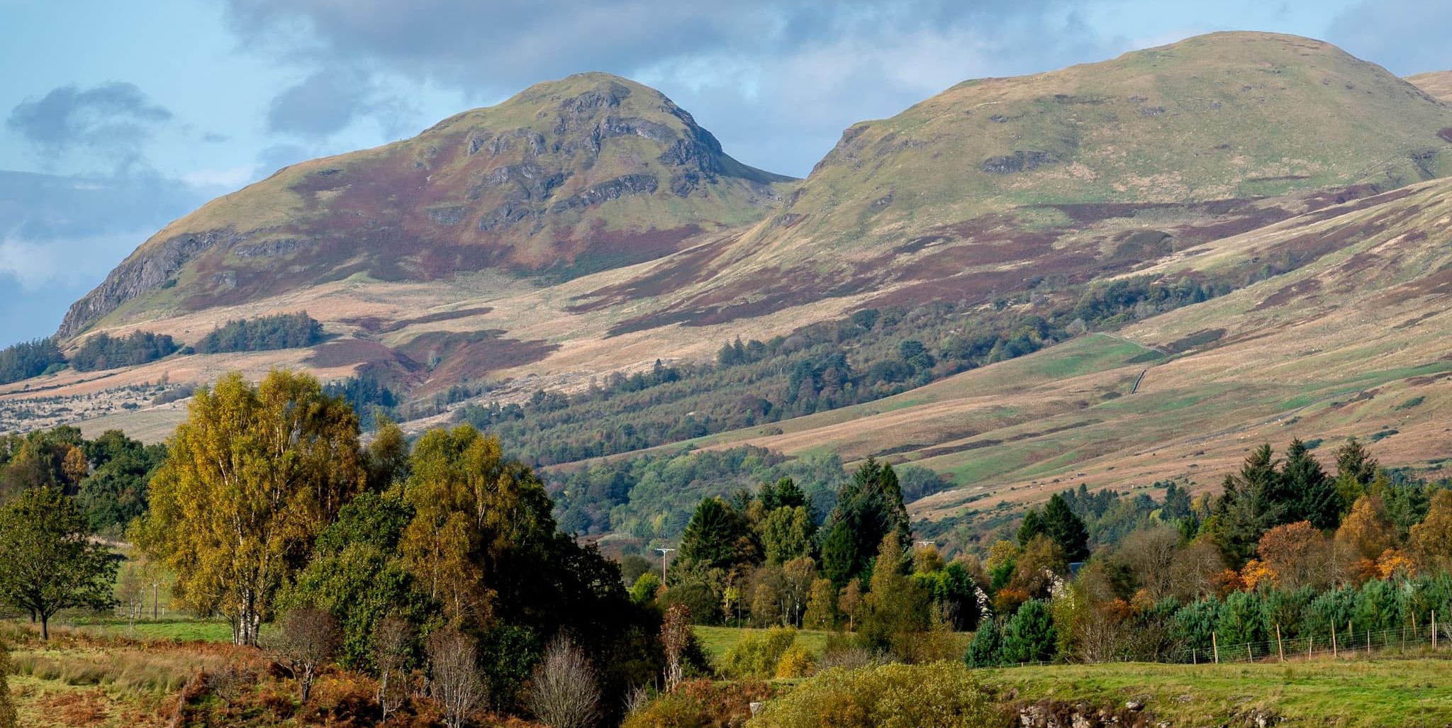 Dumgoyne
and Dumfoyne
in the Campsie Fells |
 Dumgoyach
Hill
|
 |
 |
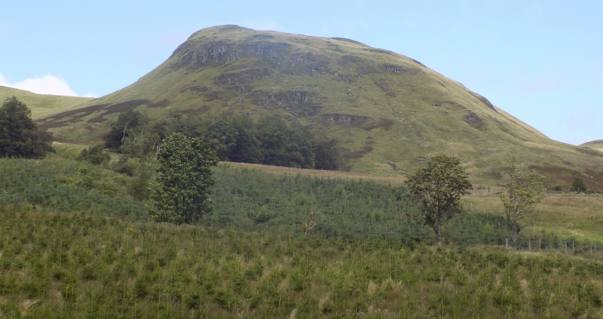
 Dumgoyne
in the Campsie Fells |
 |
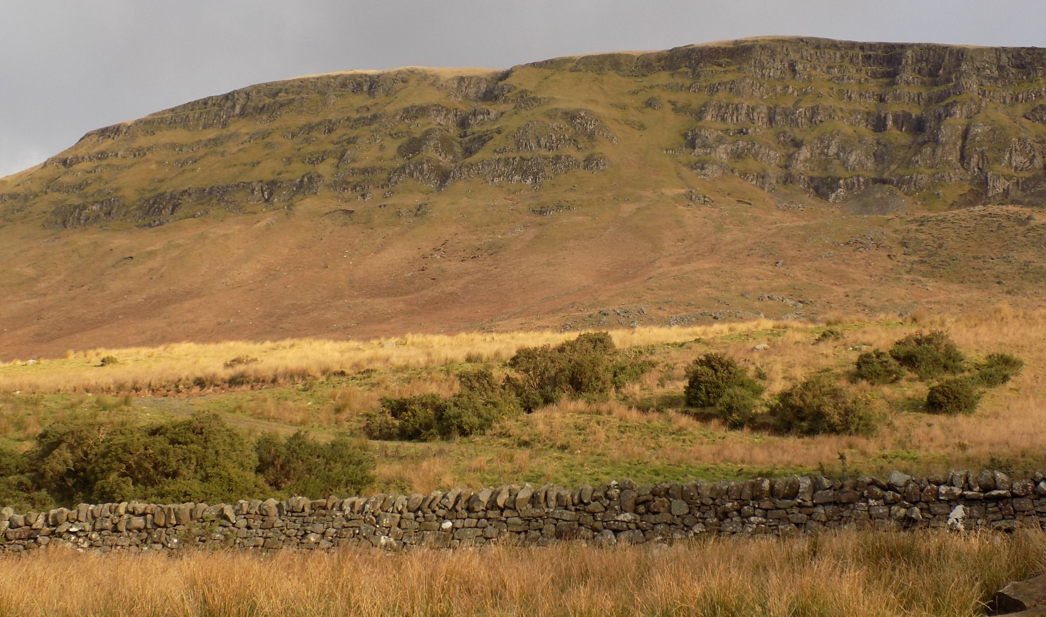
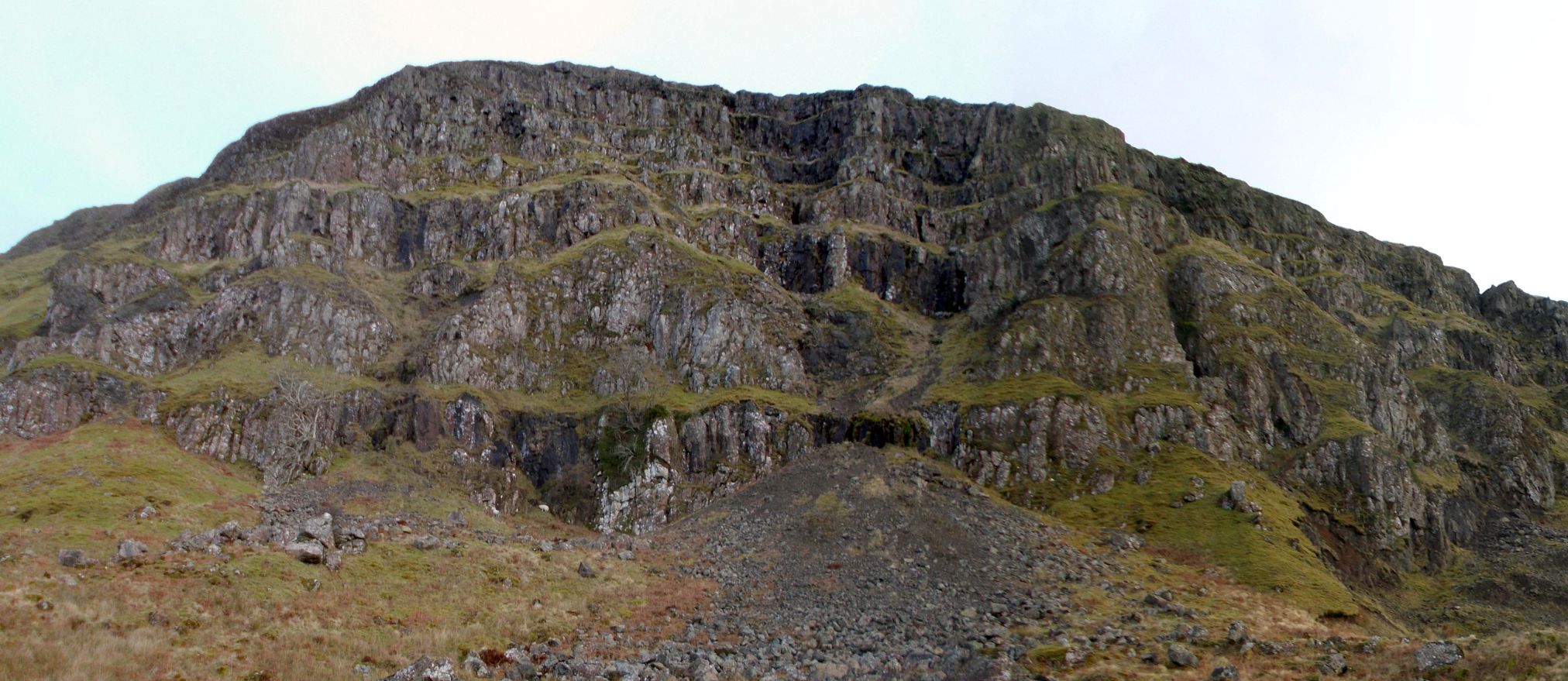
 Escarpment
of the Campsie Fells
|
 |
 |
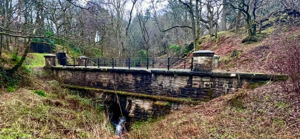
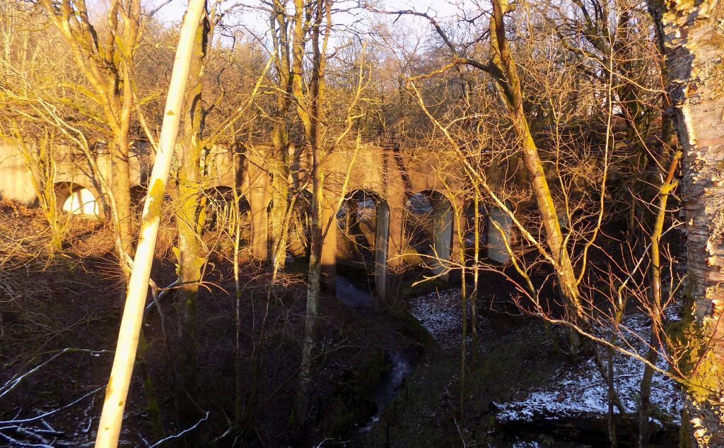 Viaduct
in Cauldname Glen
|
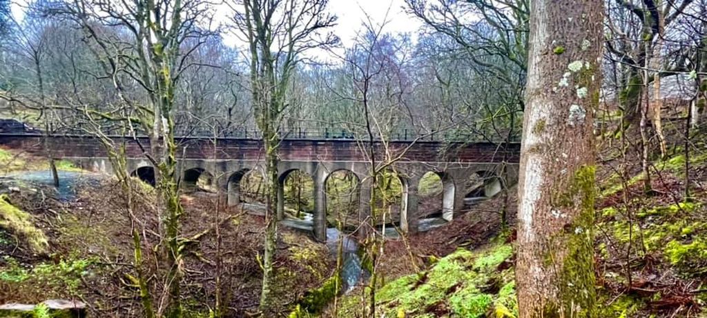 Viaduct
in Cauldname Glen
|
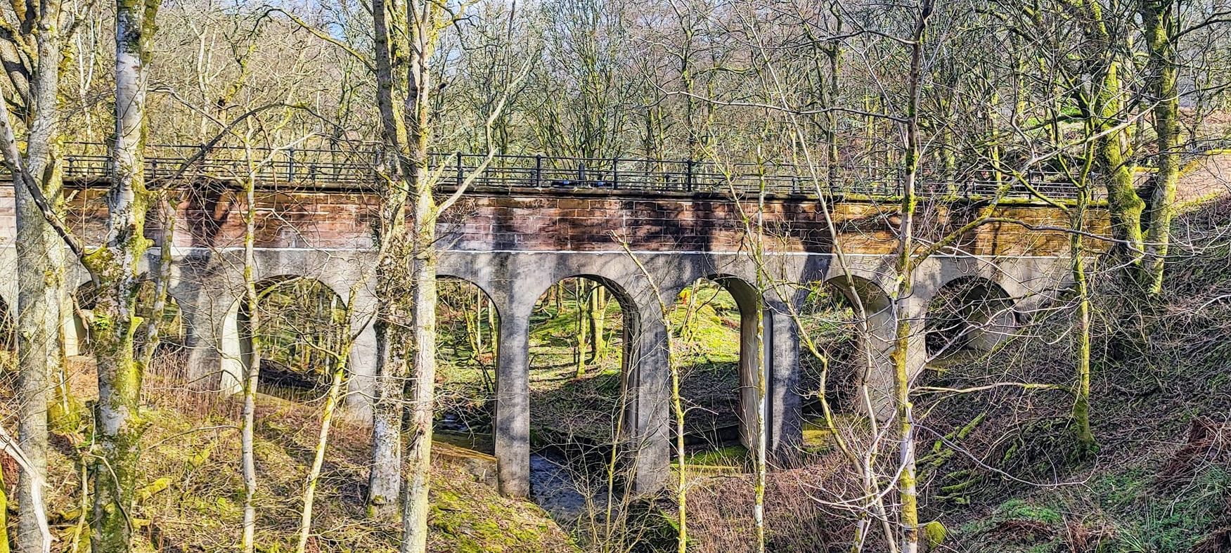 Viaduct
in Cauldname Glen
|
 Pipe
Track
|
 |
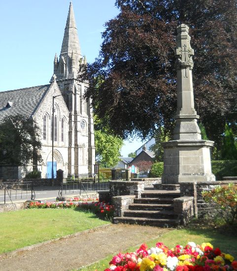 Parish
Church and War Memorial
in Killearn The village is some 15 miles ( 24km ) to the north of Glasgow and 7 miles ( 11km ) to the east of Loch Lomond Killearn lies on the northwest flank of the Campsie Fellss |
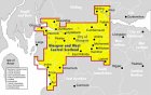
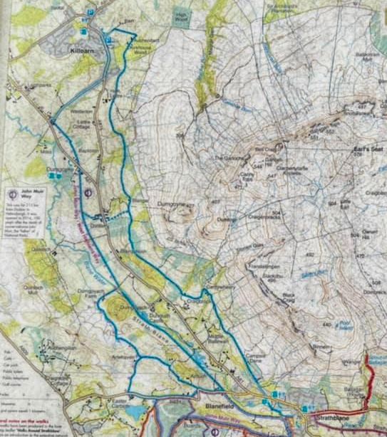
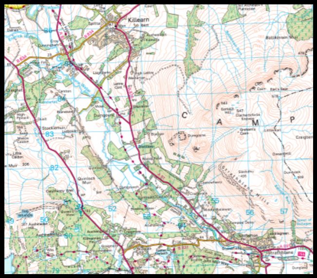 Map of
Pipe Track
|
 Map of
Pipe Track
|
 Map of
Dumgoyne
|
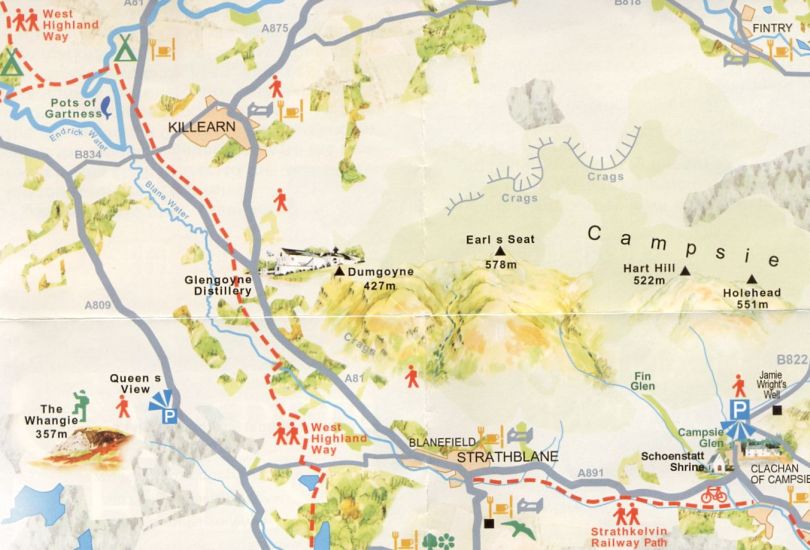
 Map of
the Campsie Fells
|
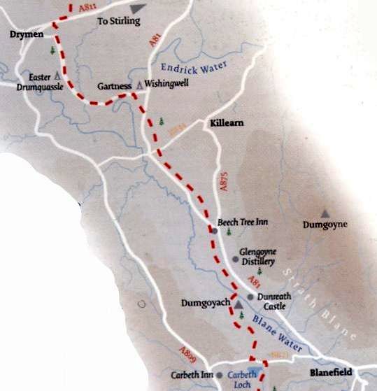 |
BLANEFIELD TO KILLEARN - ROUTE DESCRIPTION:
A lovely scenlc walk of nearly six miles along the upper eastern slope of the valley.
The Campsie Fells, with their impressive cliffs, tower above you on the east side of the valley, the Arrochar mountains are constantly
in view to the north west and on the latter part of the walk, Ben Lomond comes into sight.
This is a walk along a wide track and very easy to follow.
Getting back to the start point is simple - there is a bus service from Killearn to Blanefielcl, Milngavie and Glasgow.
The walk starts opposite the Blane Valley Inn in Blanefield where the No 10 bus from Milngavie stops.
Cross the road, tum left towards the War Memorial and take the Campsie Dene road to its very end.
There you enjoy the first view of the extinct volcano of Dumgoyne and as you emerge onto open
moorland the Campsie Fells rise steeply on your right hand side.
The horizontal ledges of the cliff faces show where successive lava flows had once tumbled
into the valley from volcanos 300 million years ago.
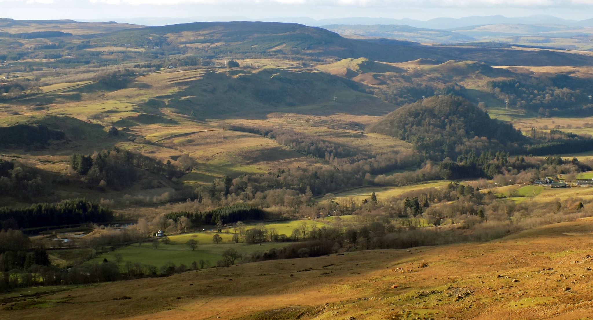
On the other side of the valley are gentle hills and ahead to the north west are the Arrochar mountains.
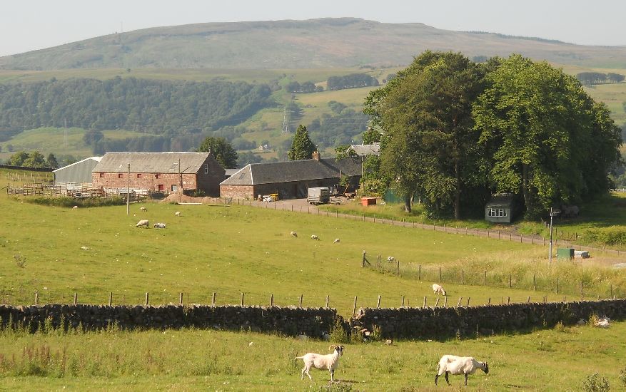
The all-weather track built for access to the water pipeline that carries water from Loch Katrine to
the Milngavie reservoirs, ensures that its surface is good for walking and cycling even in wet weather.
The track follows the pipeline closely which means that it maintains the same contour, well above
the valley floor throughout its length.
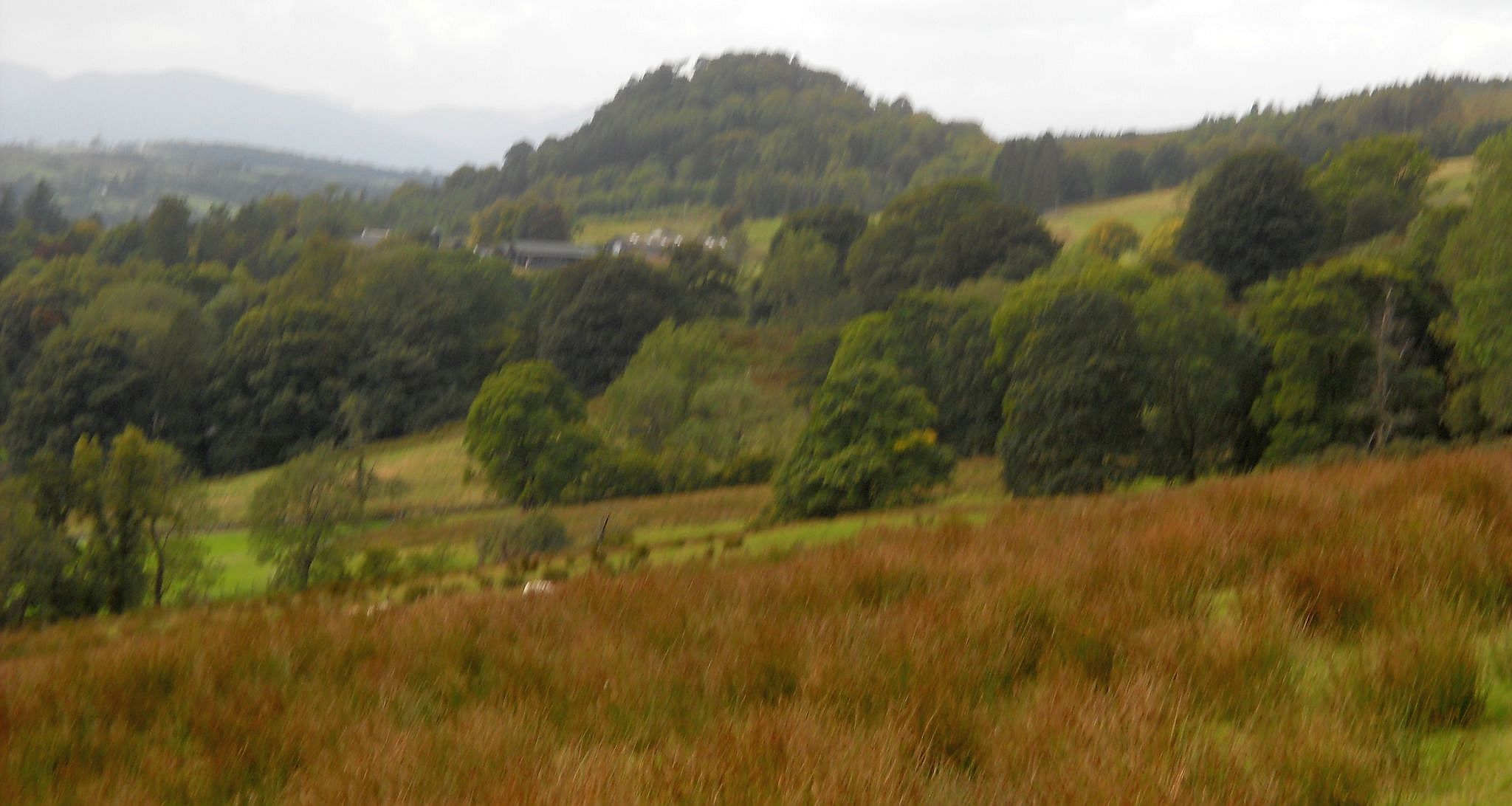
The track skirts woods, generally quite small, which are interspersed with open moor and pastures.
This ensures that you exerience superb views of the valley and hills for most of the walk.
On the outskirts of Killearn, you go through two metal pedestrian gates that give access to a path
alongside the outer edge of the houses and thence onto a quiet road flanked by large mansions.
At the oldest of these, Auchenibert, turn left and go downhill to the entrance to Ibert Farm and House,
where you again turn left down to the main street of Killearn.
There is a bus stop nearby, but if you wish to have refreshment before you retum to Blanefield or
Milngavie, turn right and walk up to the corner where you will see the lofty monument to George
Buchanan the local man who became tutor to the young Scottish King, James IV.
You then turn right along the street.
There is good food and drink at the Old Mill pub and restaurant, or at a coffee shop a few yards beyond.
There is a bus stop outside the Old Mill for your return to your starting point.
 :: Earl's
Seat
Gallery
:: Earl's
Seat
Gallery 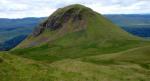 :: Campsie
Fells Gallery
:: Campsie
Fells Gallery 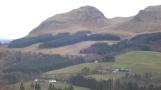
Glencoe | Ben Nevis | Knoydart | Isle of Skye | Isle of Arran
The Eastern Highlands | The Central Highlands | The Southern Highlands | The NW Highlands