 |
Campsie FellsDunmore
|
  |
Photographs of an ascent to Dunmore Hill
- site of ancient hill fort,
in the Campsie Fells above Fintry Village
| |
Campsie FellsDunmore
|
|
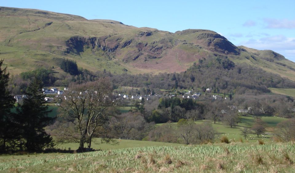 |
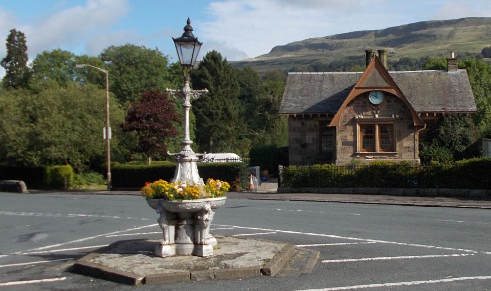
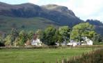
 Dunmore above Fintry |
 Crags
above Fintry Village
|
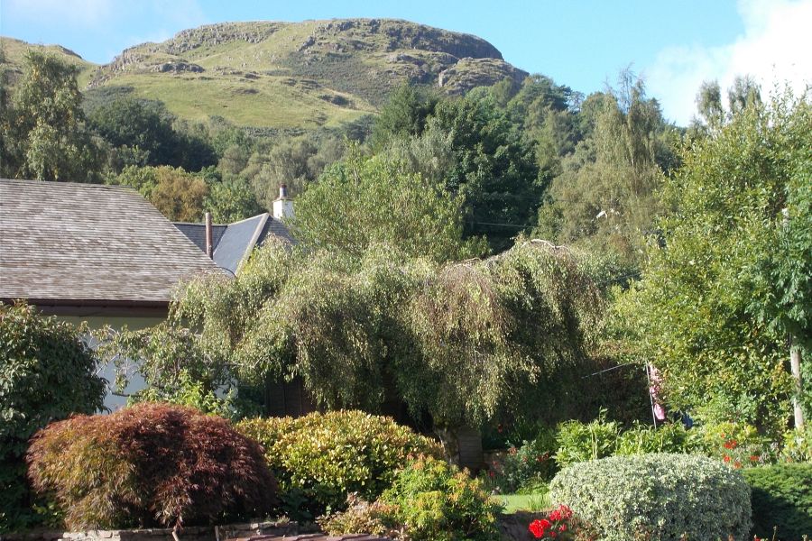
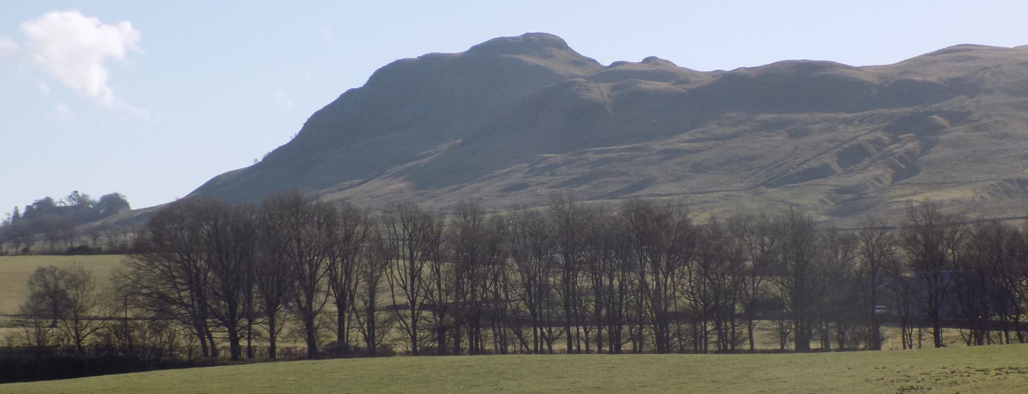
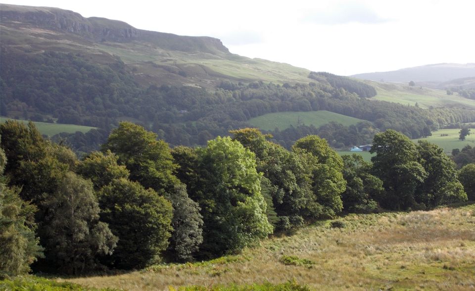
 Dunmore
Hill
in the Campsie Fells |
 Dunmore
Hill
in the Campsie Fells |
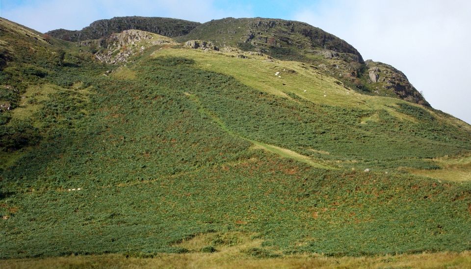
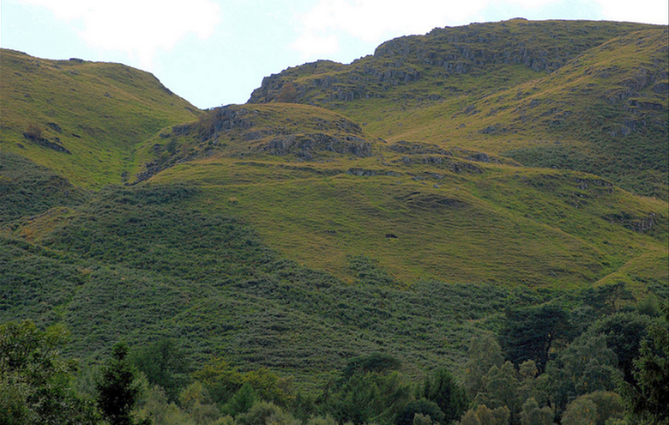
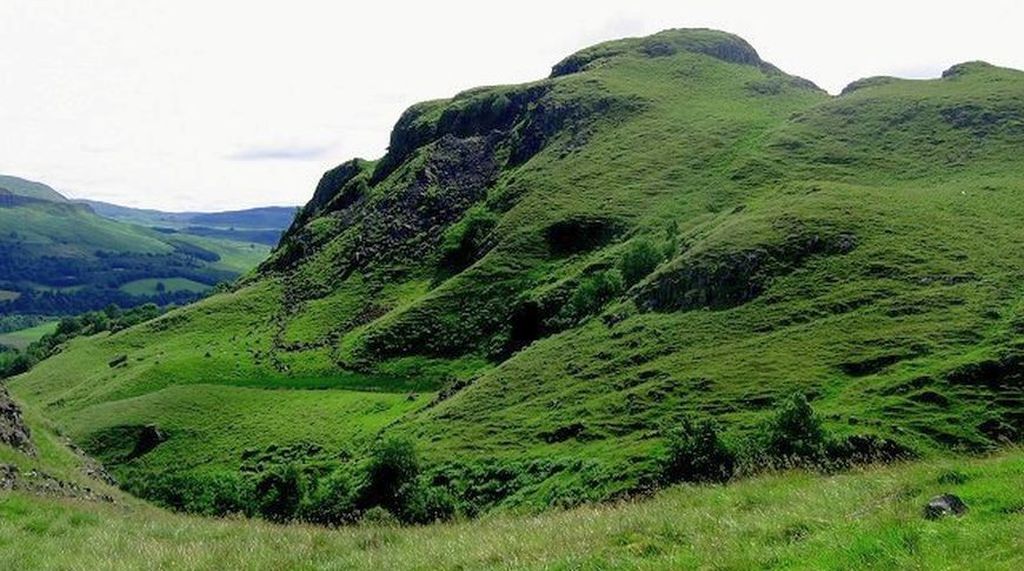
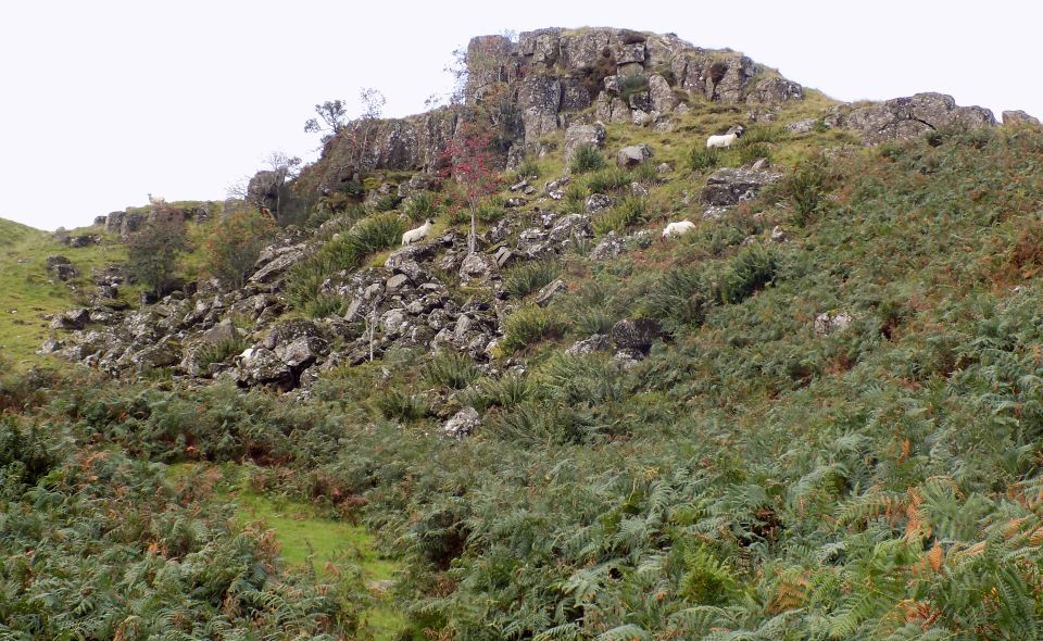 Rock
cliffs on Dunmore
|
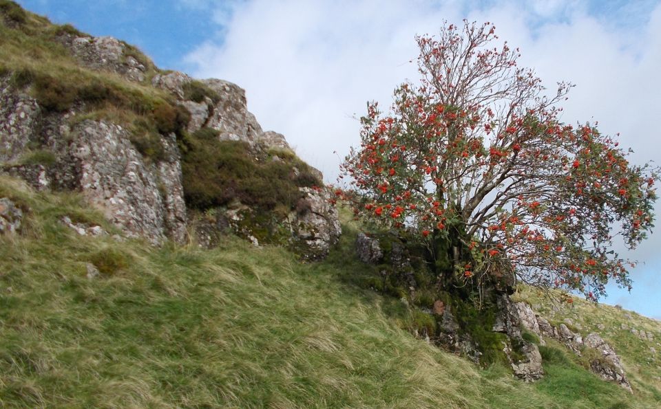 Rowan tree on Dunmore Hill |
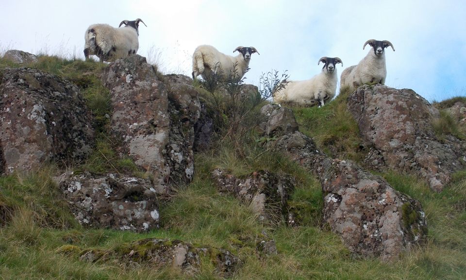 Sheep
on Dunmore Hill
|
 |
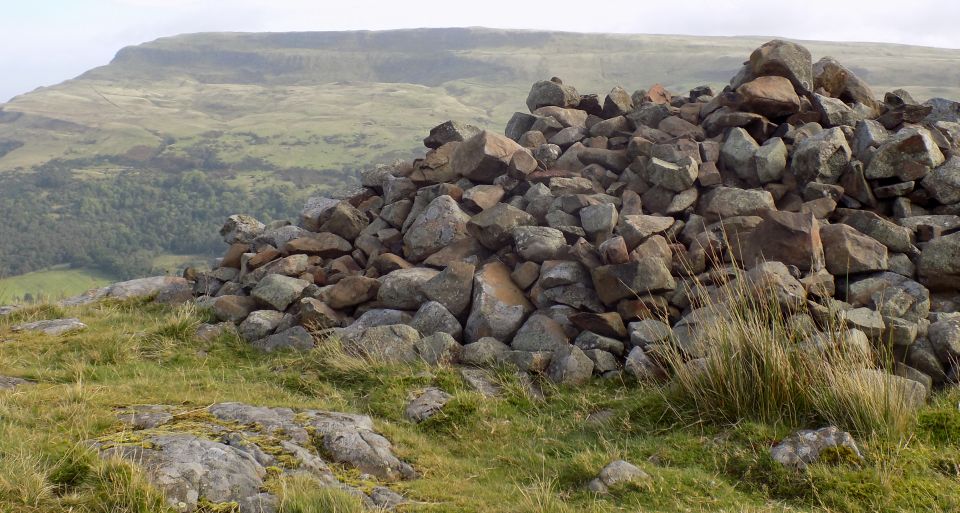 Cairn
on top of Dunmore Hill
- site of ancient hill fort |
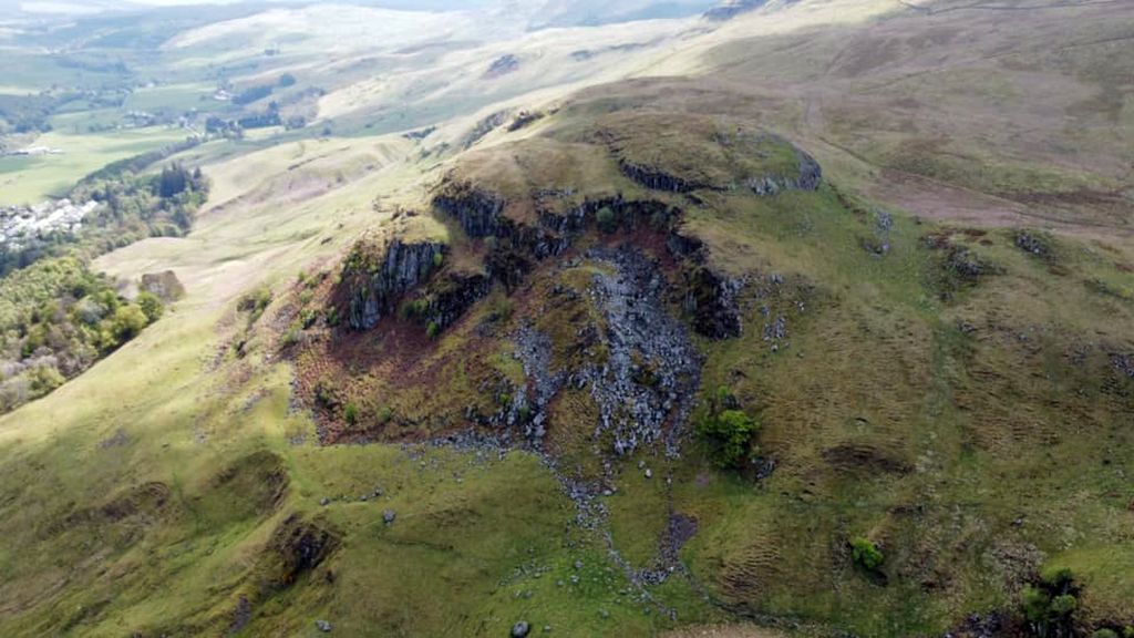 Aerial
view of Dunmore Hill
- site of ancient hill fort |
 Dunmore
Hill
in the Campsie Fells |
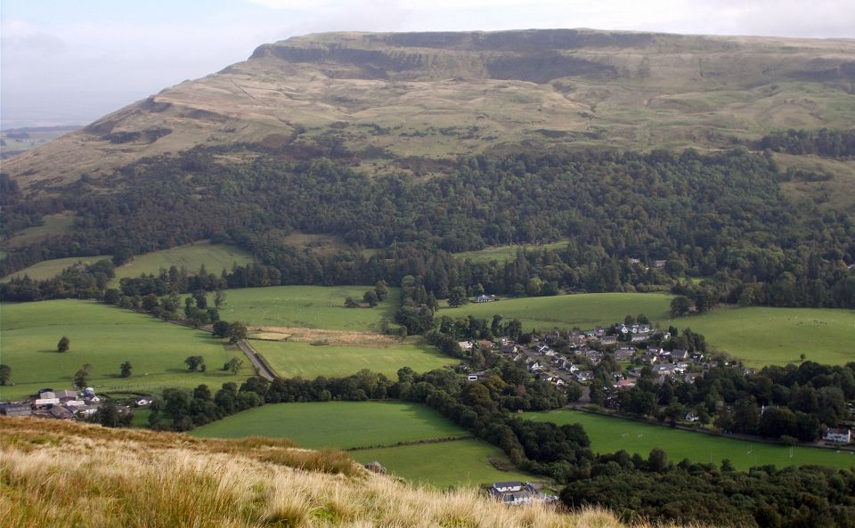
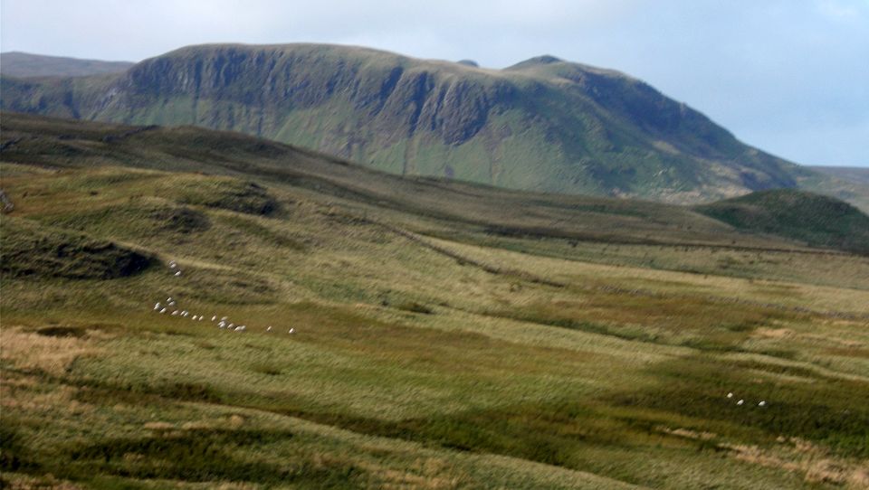
 Endrick
Valley beneath Fintry
Hills
from Dunmore Hill |
 |
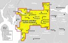
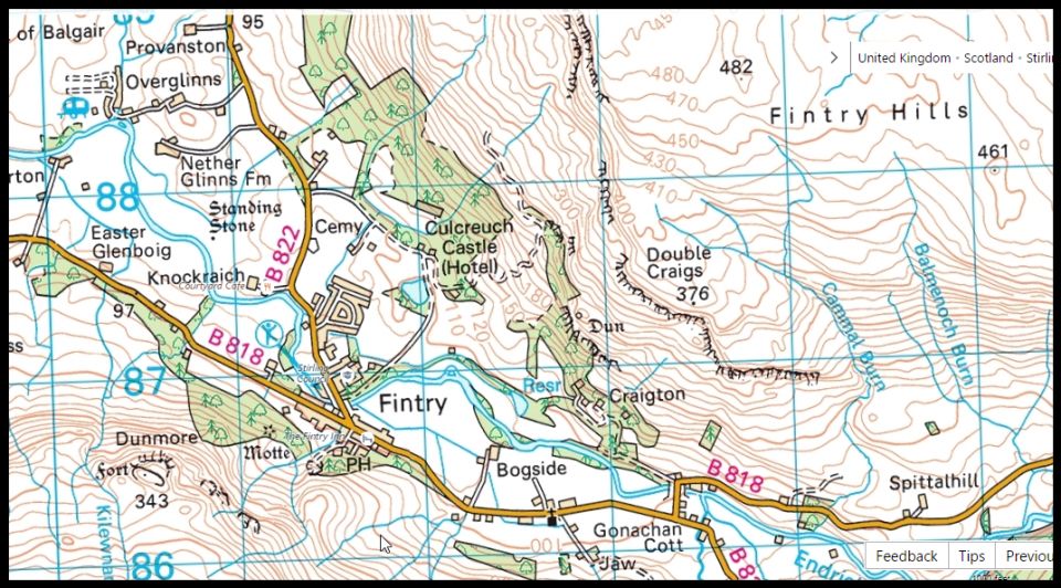 Map of
Dunmore Hill above Fintry
|
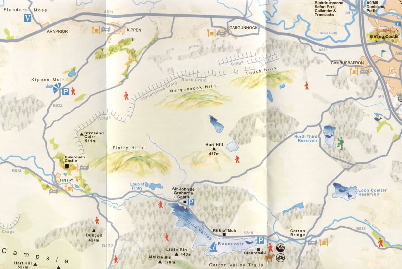 Map of
Fintry and surroundings
|
 ::
Stronend
Gallery
::
Stronend
Gallery 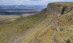 :: Campsie
Fells Gallery
:: Campsie
Fells Gallery 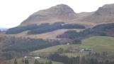
Glencoe | Ben Nevis | Knoydart | Isle of Skye | Isle of Arran
The Eastern Highlands | The Central Highlands | The Southern Highlands | The NW Highlands


Waterfall:
We went up the usual approach to Dunmore - up Quarry Road, through the houses, in Fintry (although crossing the burn at the bottom needed care!)
up over the stile continuing to an obvious path going left to the waterfall (a cross"roads" really),
before the steeper ascent of the hill.
A wee clamber up to see the waterfall properly,
and then back to the path which heads towards a deep gorge
before heading up to the top of the gorge.
We then turned left and went down towards the lone tree (don't go over the fence)
and followed a grassy path all the way back to the stile.
You could at the top of the gorge turn right and go up to the top of Dunmore from there
and back down the "normal" Dunmore route as an alternative circular walk.