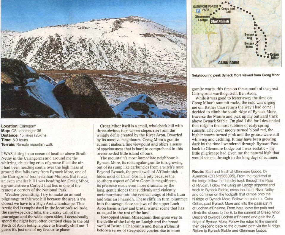
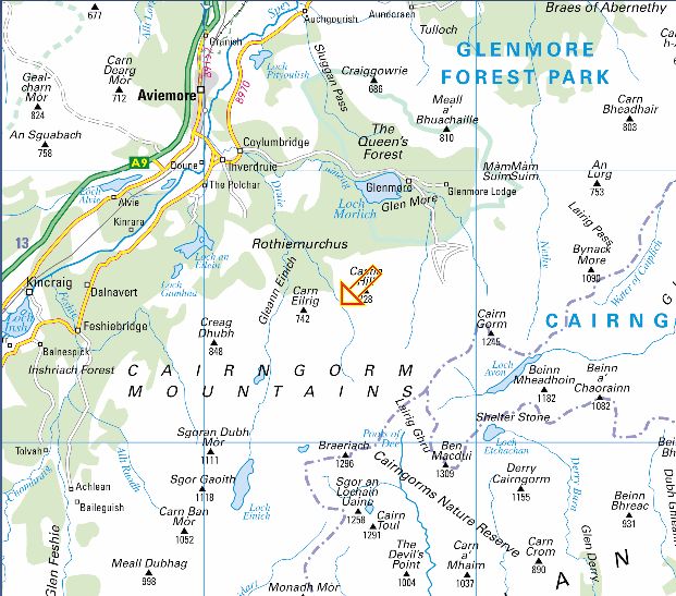
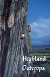
Location: Cairngorms
Grade: Serious
mountain walk
Distance: 12
miles /20km
Time: 6-8 hours
Bynack More. Lying
to the east of the main Cairngorms massif, this 1090m / 3576ft Munro
tends to benefit from the bigger hills’ rain
shadow and on days when the western Cairngorms are being drenched with
rain it’s surprising how often Bynack More remains
relatively dry .
On windy days it
pays to be a little more circumspect. Theoretically you'd assume that
the powerful bulk of Cairn
Gorm itself
would protect its smaller neighbour but theory, however sound it may
be, doesn't always work in the
mountains, as we
were to discover. With the Feshie hills and Braeriach swathed in a
dark, ominous layer of cloud,
we drove the
length of Glen More and parked the car near Glenmore Lodge.
We began
walking, through the lovely Pass of Ryvoan, in dry and bright
conditions and it wasn’t until we reached the
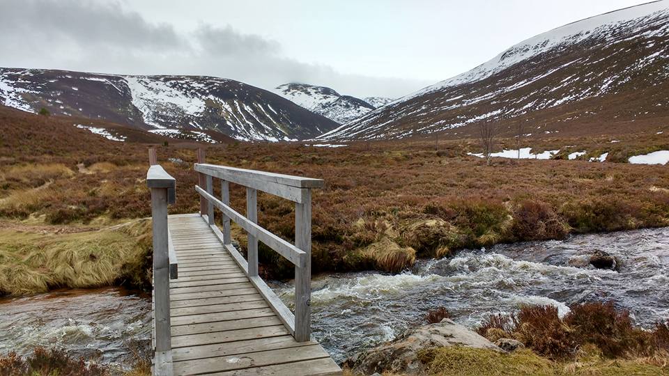
River Nethy that
we noticed the wind. The track we were on followed the course of one of
the Cairngorm ‘mounth roads’ or passes, the Lairig an
Laoigh, which runs from Abemethy in the north to Braemar in the south.
Both this pass and its parallel neighbour, the
Lairig Ghru, were once droving routes resounding to the movement of
cattle. Indeed Lairig an Laoigh can be
translated as ‘pass of the stirks, or calves’. It must have been a long
haul for the cattle as they climbed from the
comparatively fertile basin of the River Nethy to the scree-girt high
ground which forms the skirt of Bynack More itself.
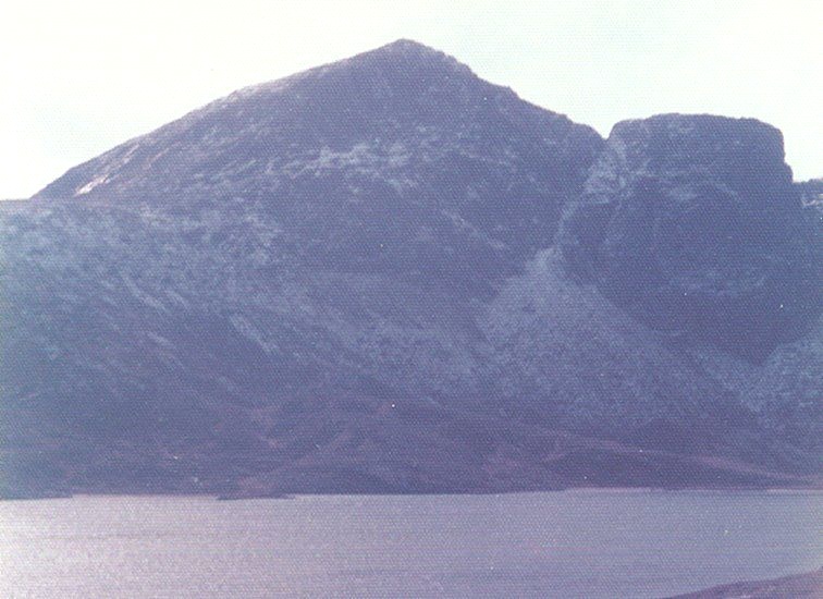
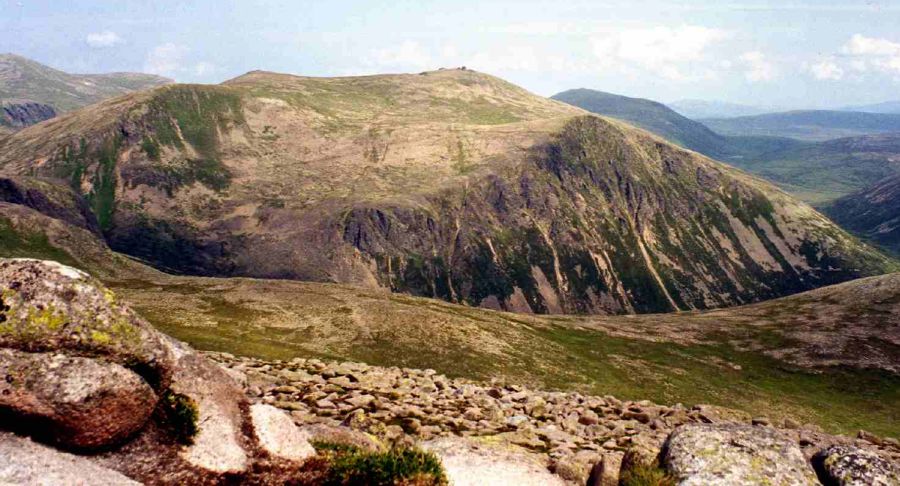
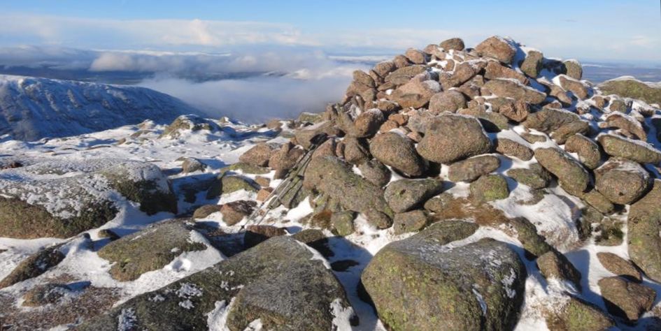
This grand hill
stands apart from its loftier, more popular neighbours, as though keen
to emphasise its individuality and gritty character, despite its
inferior height and mass. Bynack More’s finest features tend to be more
subtle, less glaringly elephantine, than its immediate neighbours, and
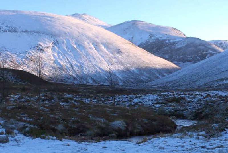
it exhibits its finest face to the north above the Forest of Abernethy.
From here it appears as a fine conical
peak, steep slopes rising smoothly to a narrow crest, a direct contrast
to the tor-studded whaleback of distant Ben
Avon and the leviathan mass of Cairn Gorm itself.
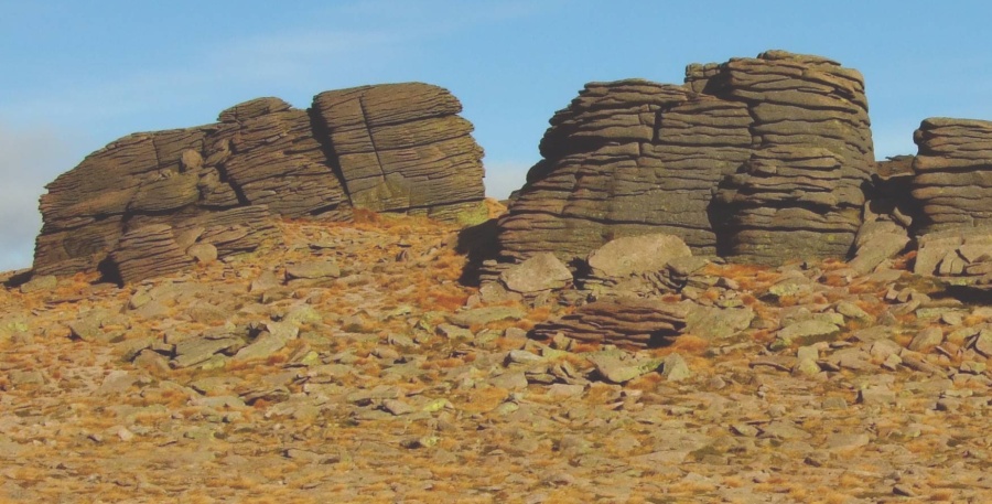
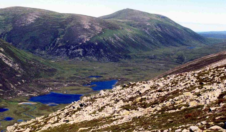
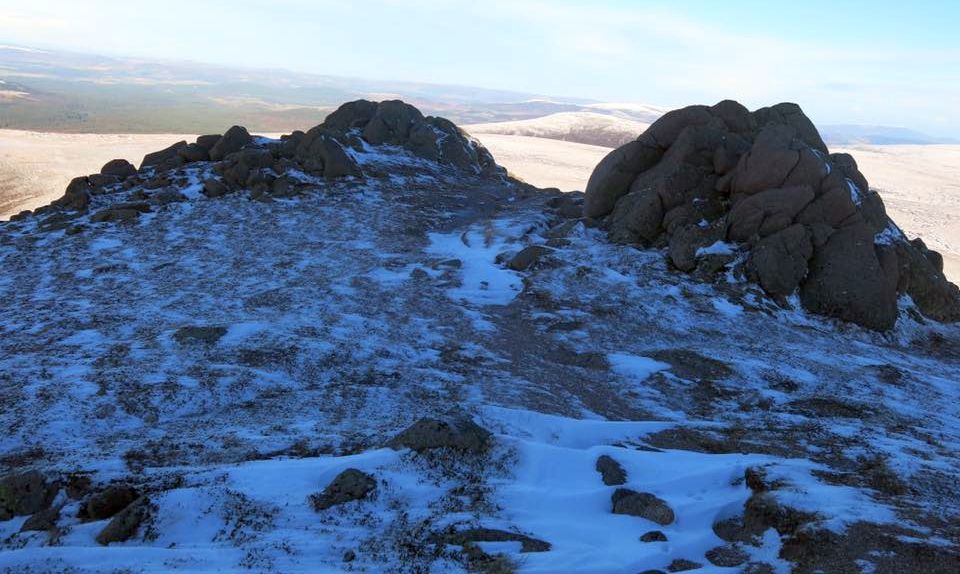
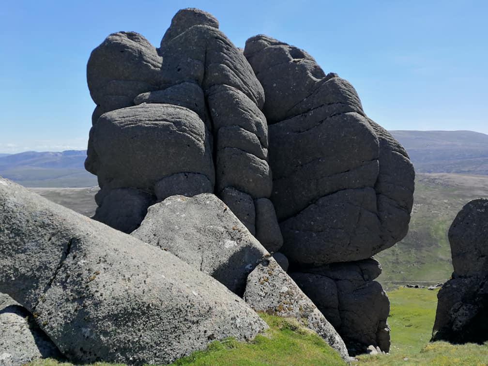
Bynack More is
divided by a large, high level grassy depression into two distinct
rocky summits. On its western
shoulder lies a
subsidiary top known as Bynack Beg. The main summit was at one time
known as Ben Bynack but
the late Rev. W
Forsyth of Abernethy, a local historian, suggests this is wrong and
Bynack derives from Ben-Eag,
the hill of the
cleft, a nick between the summit rocks, which you can see from Strath
Nethy. Other Gaelic
scholars suggest
the word comes from ‘beinneag', little mountain ( compared to its
neighbours even Bynack More,
the big Bynack,
is a little mountain) or even from Am Beidhneag, a chimneypot or
roof-ridge.
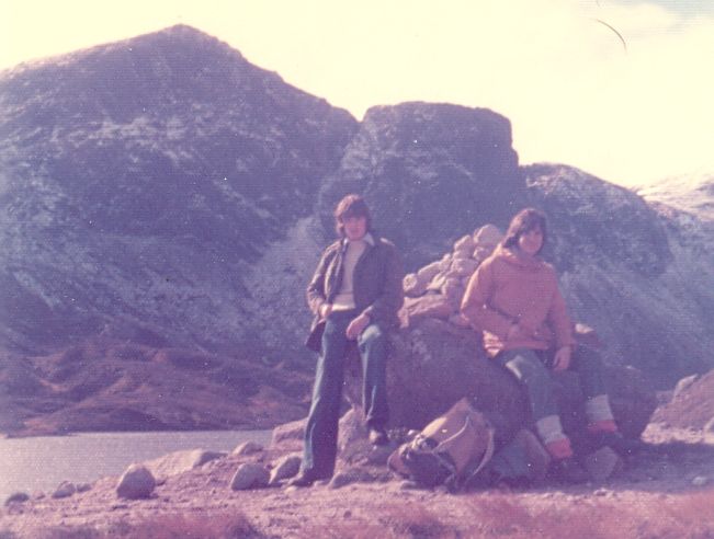
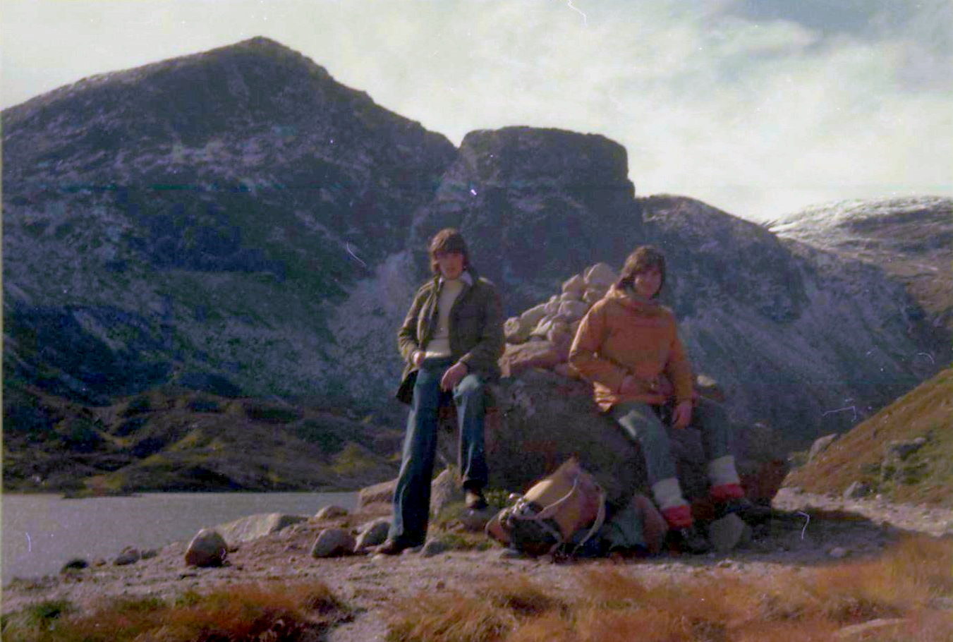
Despite a couple
of light showers the cloud level remained above the summits
but it was the wind that was to prove challenging.
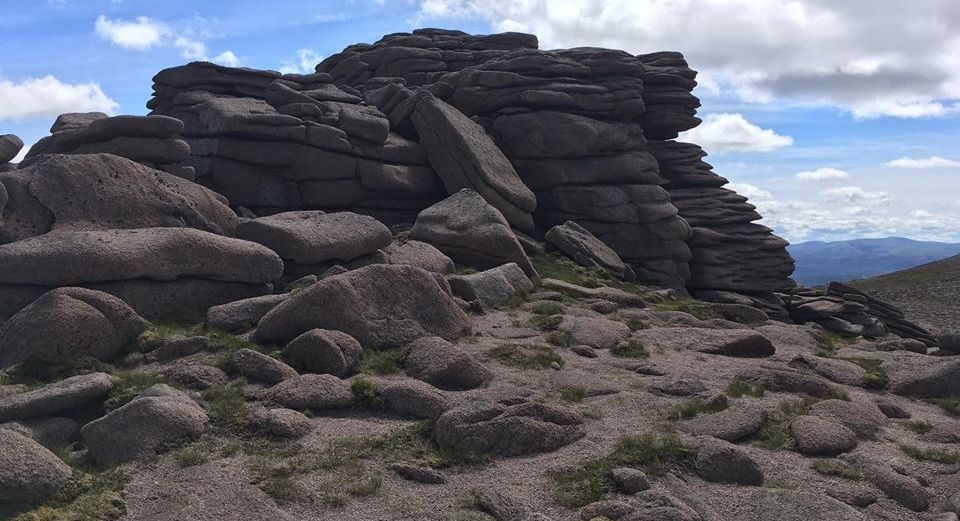
As we approached the main ridge a couple of violent gusts almost
stopped us in our tracks and by the time we climbed up the rocky ridge
it was apparent that we would have to take
great care simply to remain rooted to the ground. The wind was coming
from the south- west, so, just as
Cairn Gorm protects Bynack More from the worst of the westerly gales we
reckoned we could use the summit
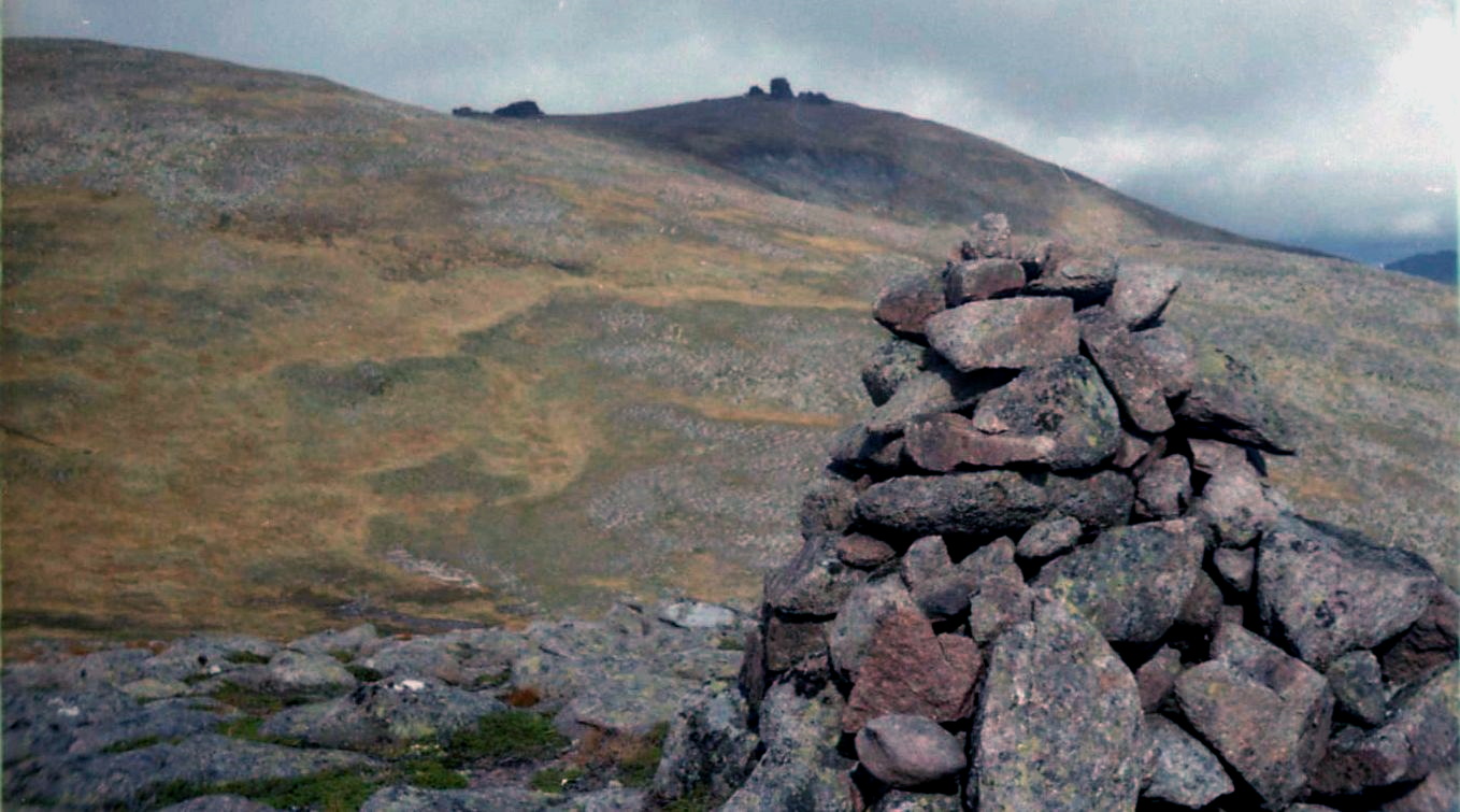
ridge of Bynack More to protect us. The summit cairn
was, of course, fully exposed to the gales and was no place to linger,
so we retreated back into the shelter of
our eastern slopes for lunch. We had to return by our
outward route rather than continuing over A’Choinneach to The Saddle
from where we could have climbed Cairn Gorm
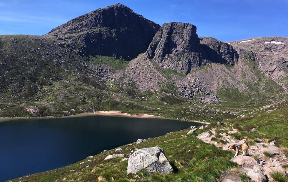
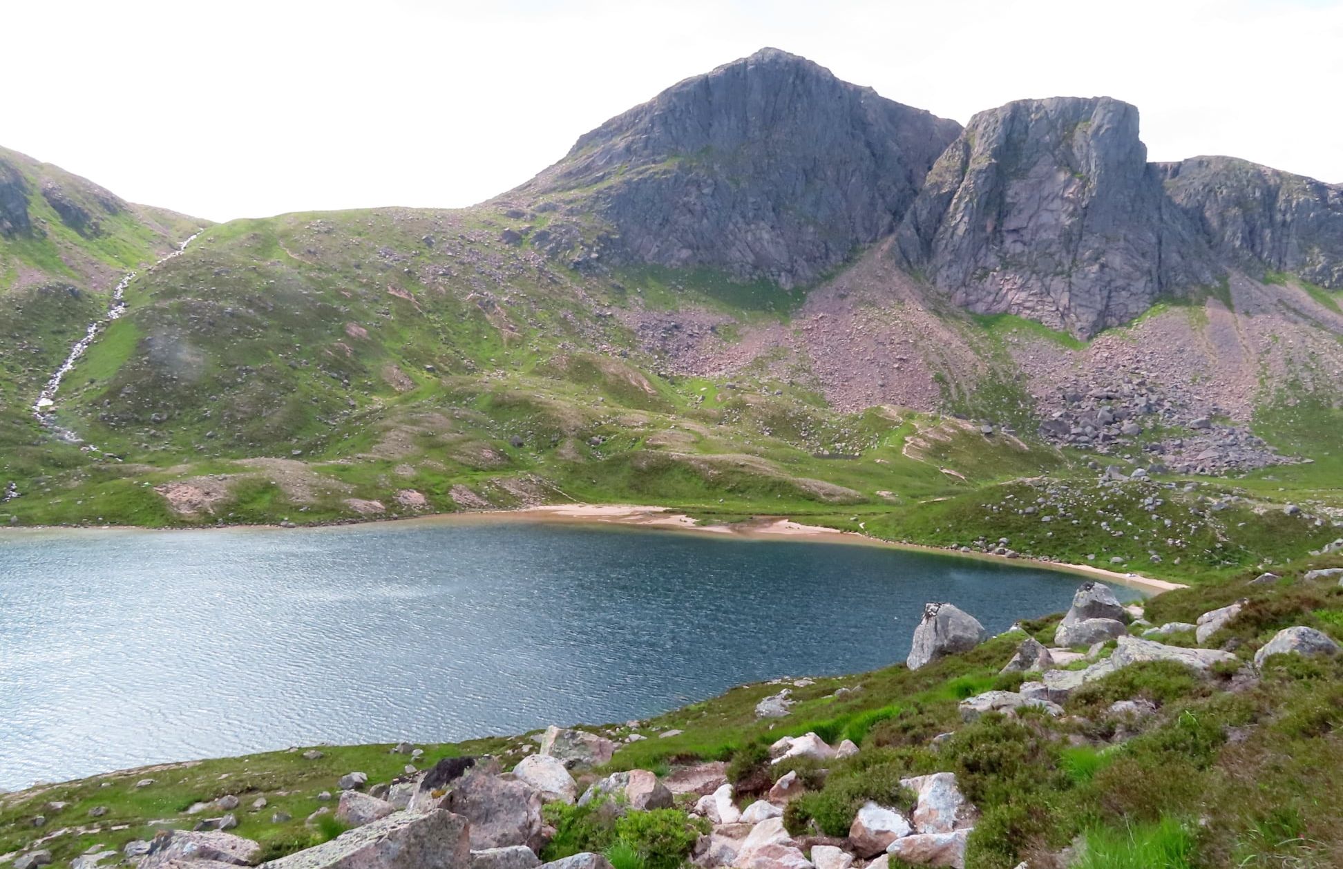
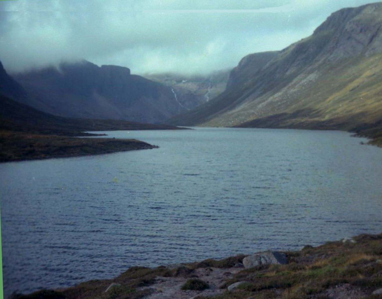
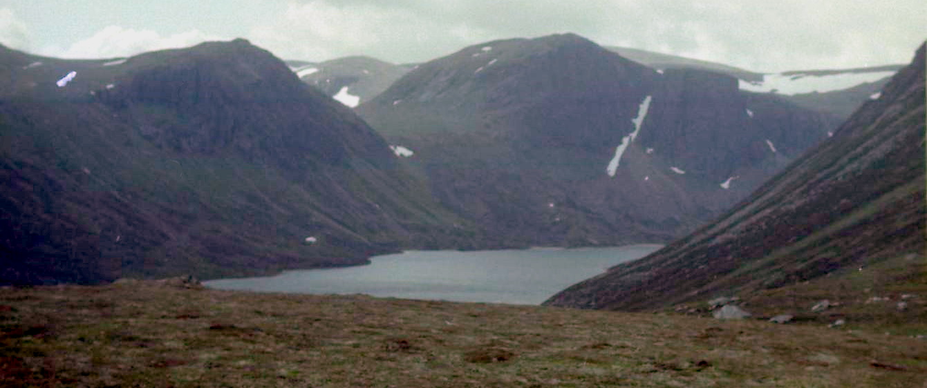
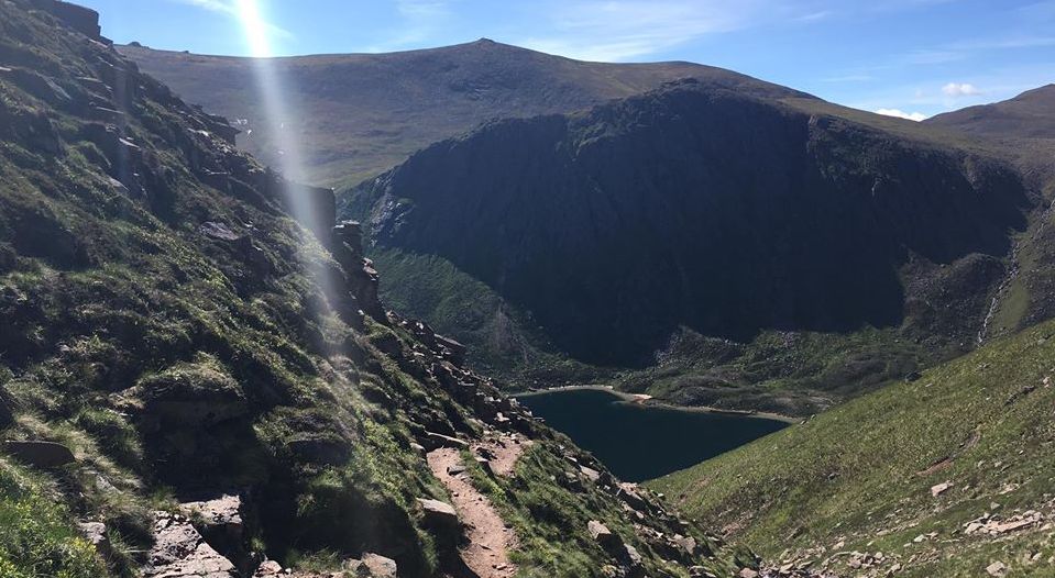
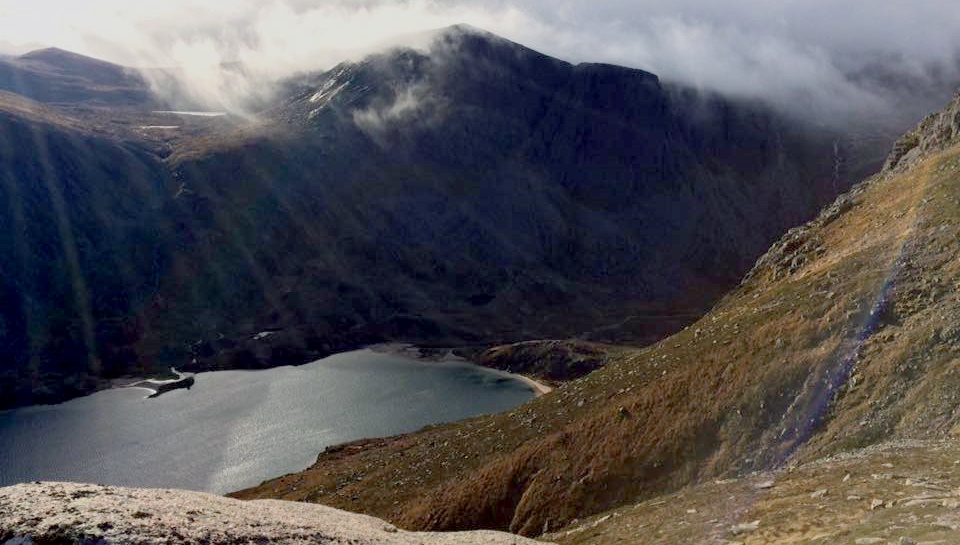
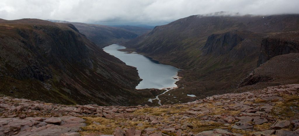
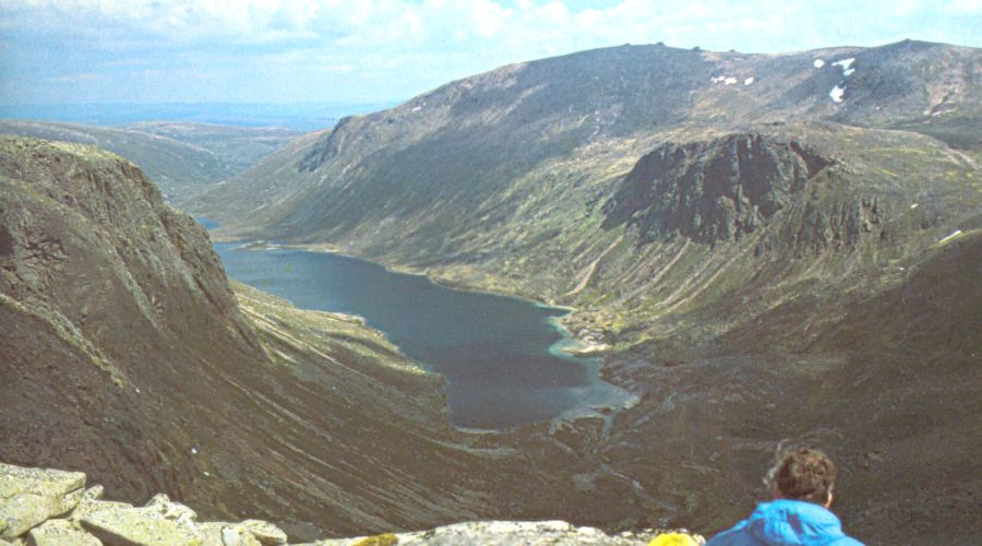
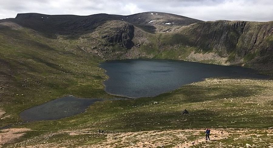
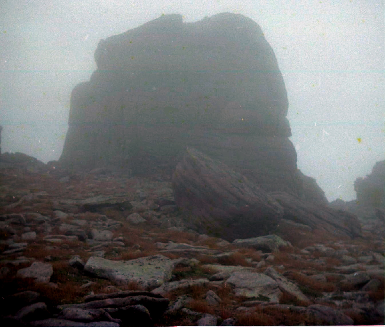
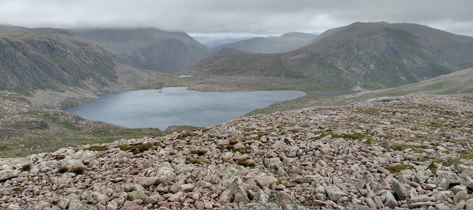
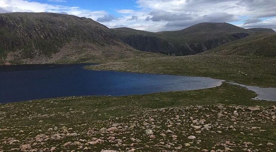
itself. The Saddle, above the foot of Loch Avon, confronts one of the
wildest views in Scotland, with steep granite
slab slopes dropping down to cradle the grey waters of Loch Avon.
At the head of the loch rises the improbably
square-cut face of The Sticil, like a massive tomb stone set amongst
the high plateaux that surround it. A
traversing path climbs the steep slopes from The Saddle at the head of
Strath Nethy to Ciste Mearaid and from
there it's an easy descent either by Cairn Gorm’s north ridge to
Ryvoan, or by way of the Sron an Aonaich ridge
and the Allt Mor footpath back to Glenmore.
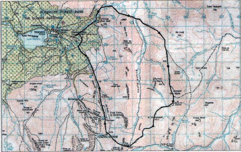
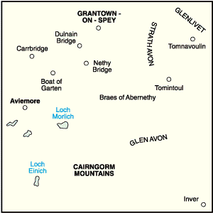
ROUTE PLANNER
Map: OS 1:50,000
Landranger sheet 36 ( Grantown & Aviemore ); Harveys 1:40.000
British Mountain Map, The Cairngorms and Lochnagar.
Distance: 12
miles / 20km.
Time: 6-8 hours.
Start/Finish:
Glenmore Lodge ( GR: NH 992097 ).
Public
transport: Hourly bus no 31 from Aviemore to Glen More. Details from www.travelinescotland.com
Information:
Aviemore TIC, 014119 810930.
Route: Leave the
parking area beyond Glenmore Lodge and follow the forestry track into
the Pass of Ryvoan.
Continue through
the Pass, past An Lochan Uaine.
About 400m
beyond the lochan take another path E to Bynack Stable and the River
Nethy.
Cross the river
and follow the footpath SE over the lower shoulder of Bynack More.
Follow this path
to its highest point then leave it to bear S up the N ridge to the
summit.
Return the same
way or, if conditions allow, continue over A'Choinneach to the Saddle
and climb Cairn
Gorm by a good
ascending traverse path.
From there
follow the Sron Aonaich ridge back to Glenmore.