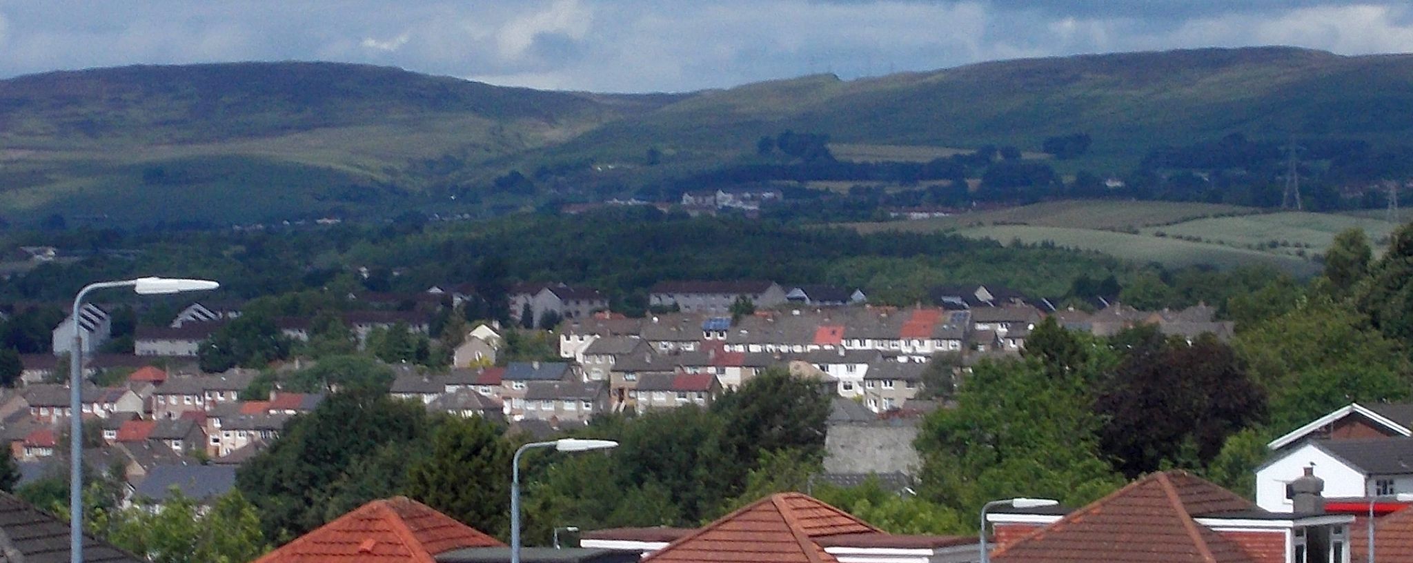
This walk is a short,
circular three mile walk along the Forth and Clyde Canal from
Westerton to Cloberhill. It returns through the
outskirts of Drumchapel and Bearsden. Car parks in Westerton
are at the station and town hall library and if full it is suggested
parking may be possible in one of the surrounding
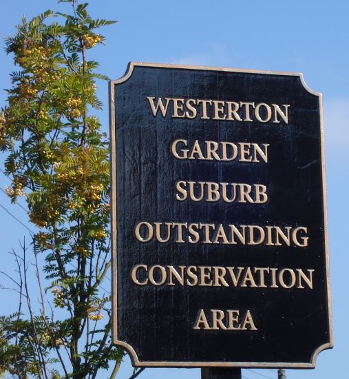
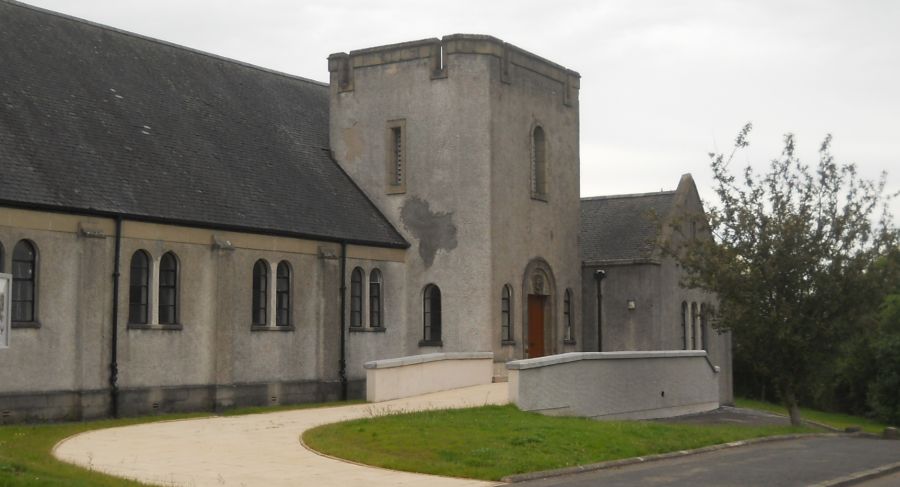
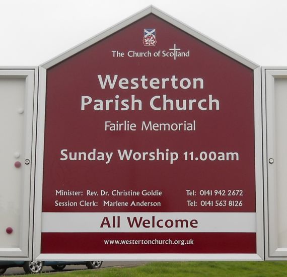
streets. Westerton
Village was initially a farm settlement called Westoun and was
developed in the 1900s as a co-partnership Garden Suburb ( self contained village ) and
Outstanding Conservation Area by a group of Glasgow business men
chaired by Sir John Stirling Maxwell. lt
was appropriate that at the opening ceremony for the Garden Suburb on
April 19, 1913 the streets for the first houses were named as Stirling and Maxwell avenues
after Sir John. The village celebrated its centenary with heritage
displays in the town hall. The
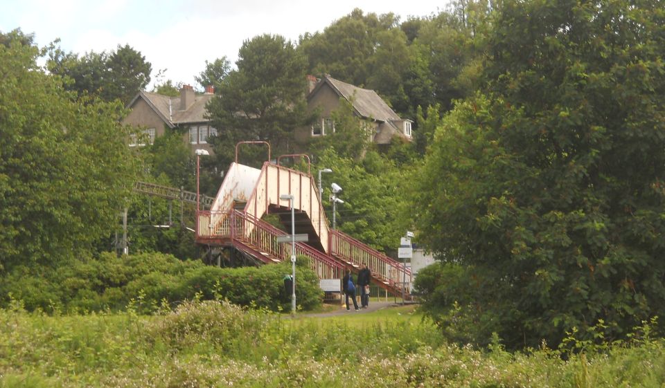
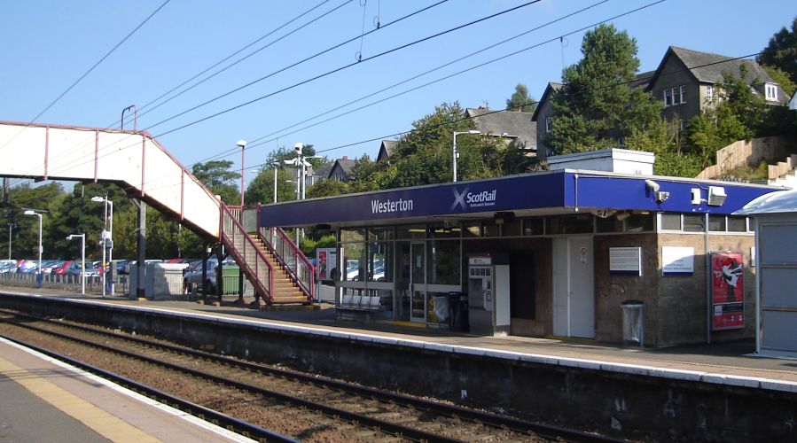
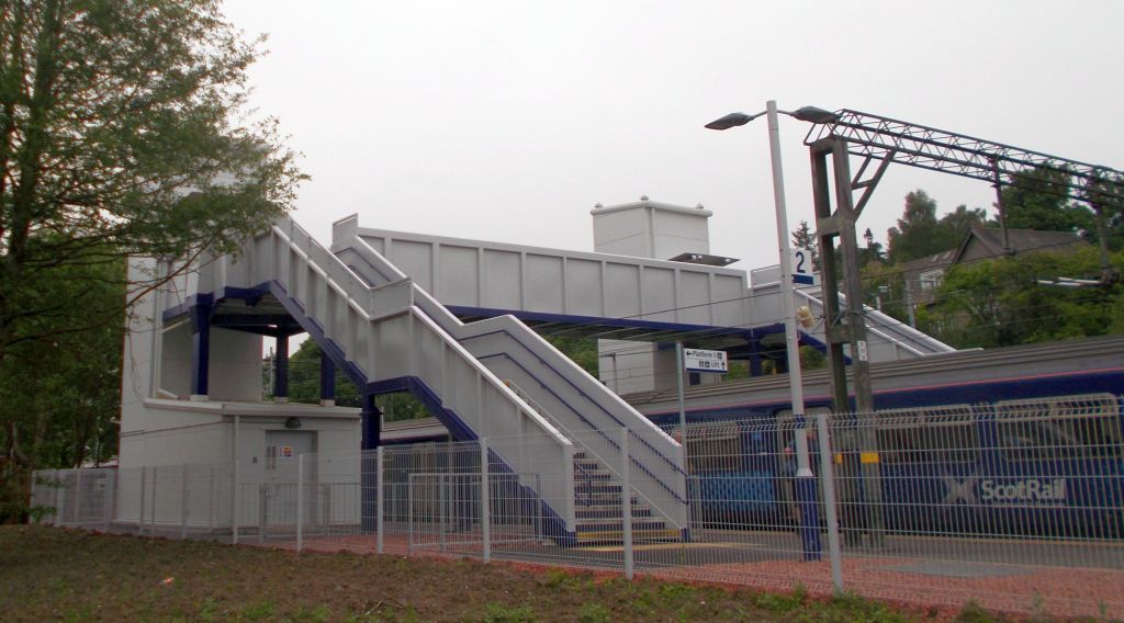
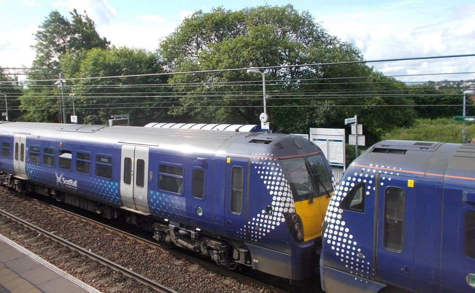
walk starts from Westerton Station, a short distance along Maxwell
Avenue from the centre of the village, crosses the railway bridge to
exit the
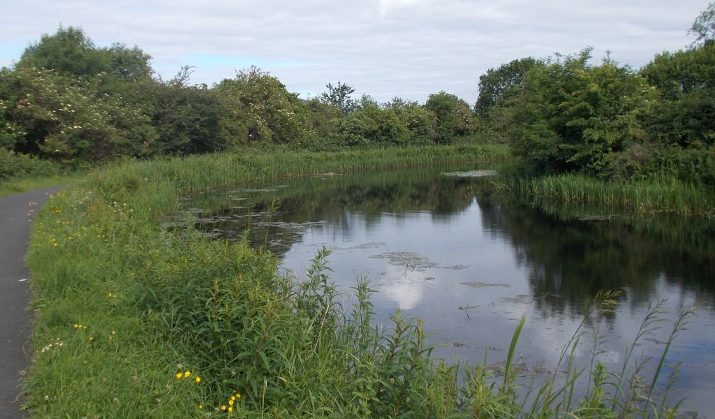
station and then crosses the bridge over the Forth and Clyde Canal. It
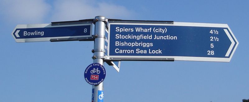
turns right onto the tow path and then left to follow the sign 'Bowling
8 miles'. The
section from Westerton to Cloberhill is quite short, less than one
mile, and has recently been re-tarred with an ideal surface for
comfortable walking.
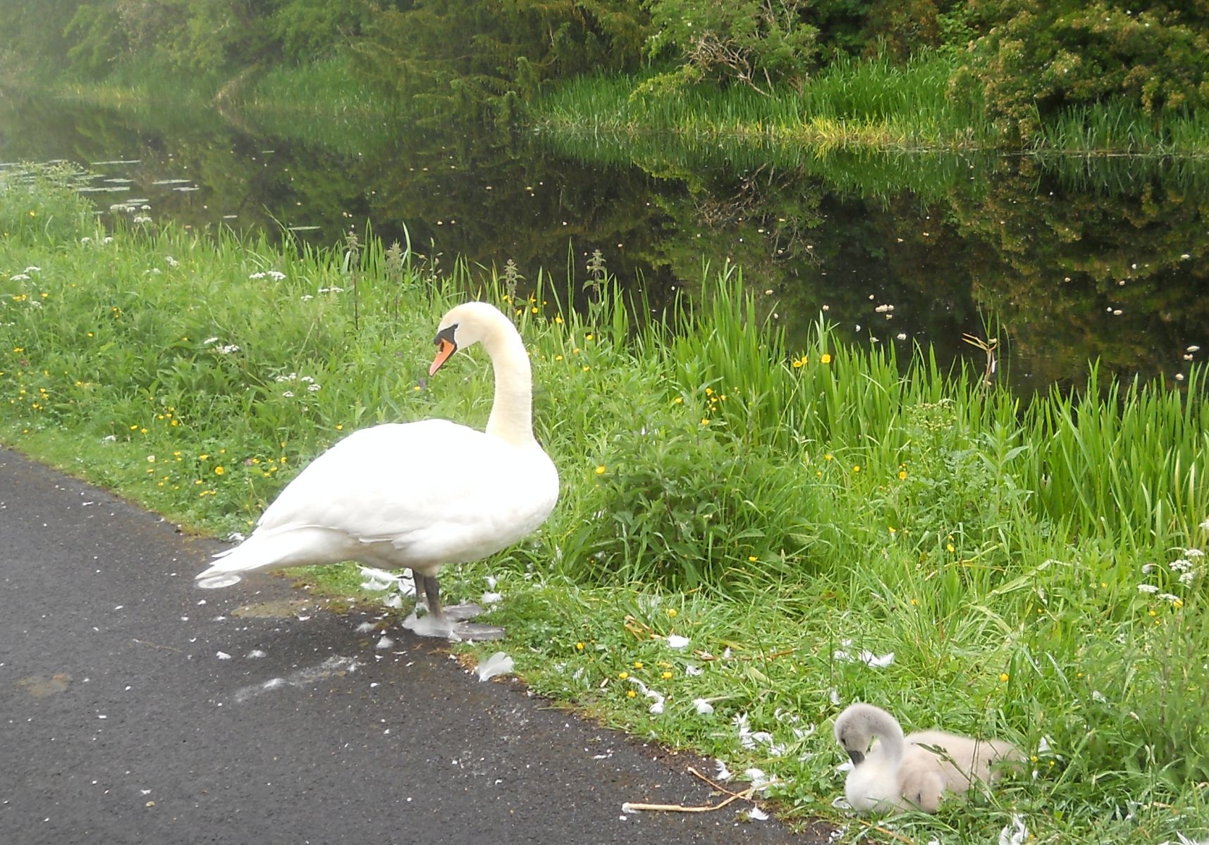
It is a popular path for walkers and cyclists to take their own form of
exercise and has the added attraction of being able to see not only the boats travelling
along the canal but also the intricate manoeuvre of passing through
locks, in this case Nos. 28-32. After passing Lock 39.
the walk leaves the canal on the footbridge and enters Blairdardie. It
turns right into Moraine Avenue, passes Cloverbank Nursery School and
as the road bends to the lefi look out for the lane on the left, North Moraine
Lane. Take the turning into this lane which leads to the tunnel below
the railway line and into Drumchapel, a Glasgow housing development of
the l950s. From the open grassland ahead, take the path on the left of
the pavement round the front of the houses leading to Drumchapel Road. Turn
left and afier crossing at the traffic lights, turn right into Glenkirk
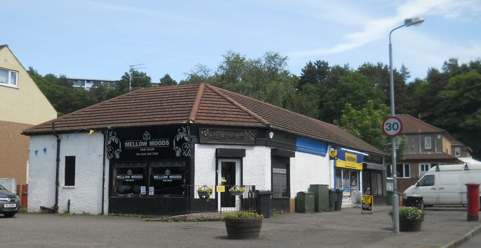
Drive. Continue past the shops on the left, and as the road bends to
the right at the football field and play park, cross the road to the
path railing and the view of the open ‘channel’ below and high flats in
the distance. The walk follows the
right hand path along the banking with housing opposite and the burn
below. It
is a wide open area and after passing the exit water pipe supplying the
burn, cross the field to Cloan Avenue and on to Kinfauns Drive. Look across the open
ground and up to Garscadden Wood -
an area of another walk. At the T-junction, the
walk crosses Drumchapel Road at the traffic lights and turns left into
Bearsden and Stonedyke. It
turns right at the shop corner into Spey Road and then right into
Deveron Road. At the end of this road, turn right then left to enter the
tunnel under the railway and emerge onto North View in Westerton
Village. Finally, after a short distance, take the lane on the right
opposite Deepdene
Road to pass round the tennis courts, and on reaching the side of the
Town Hall, turn left onto Maxwell Avenue and back to the start of the walk.
Route Description for Cairnhill
Woods Circuit
This week we go on a
contrasting
circular walk of about three-four miles and
two hours
duration which passes through Cairnhill
Woods in Bearsden
and
then along the Westerton to Temple
section of
the Forth & Clyde Canal.
The walk starts
from the University
of Glasgow at Garscube Estate
either ater car parking in Ilay
Road / Avenue
outside the estate gates or beside the Small
Animal Hos-pital
within the estate.
For the latter,
enter the uni versity grounds by
car at the traffic
lights on Switchback Road and turn right
before the
tennis courts.
From inside the
estate, the walk turns right at
the corner of
the Small Animal Hospital, continues along the
pavement to
pass the School of Veterinary Medicine on the
left and exits
through the gate onto the end of Ilay Road.
It crosses
Bearsden Road, preferably by taking
the safest route
using the traffic lights at llay Avenue and
climbs back up Bearsden Road to
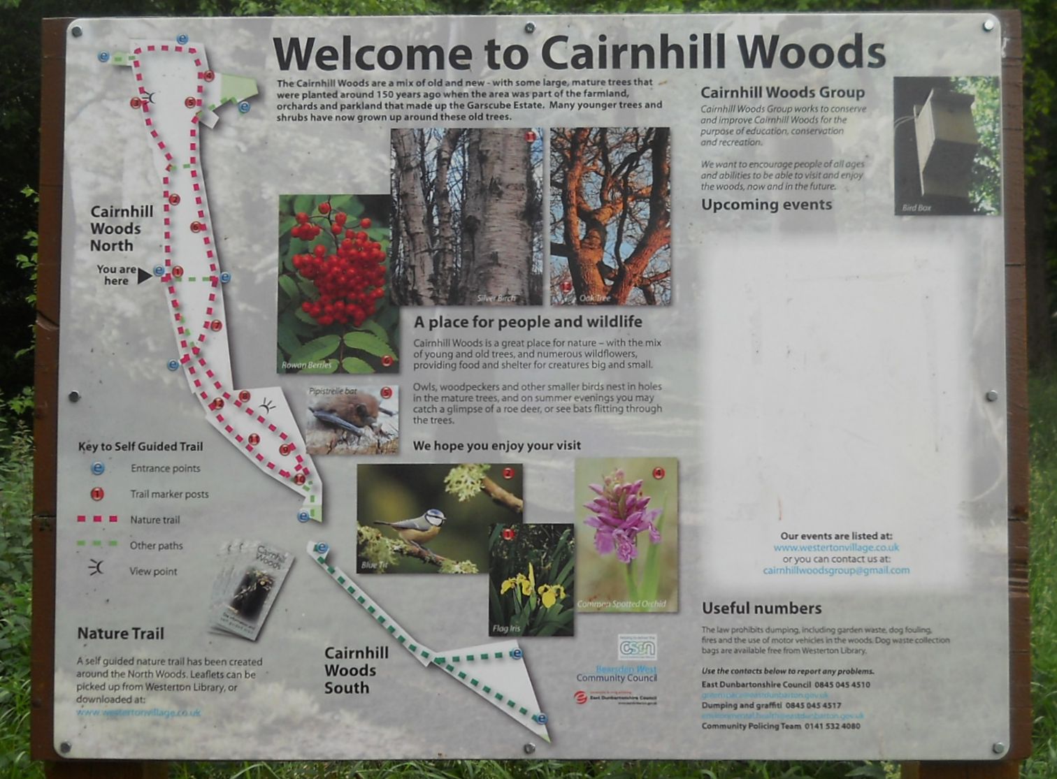
enter the
South section of Cairnhill Woods.
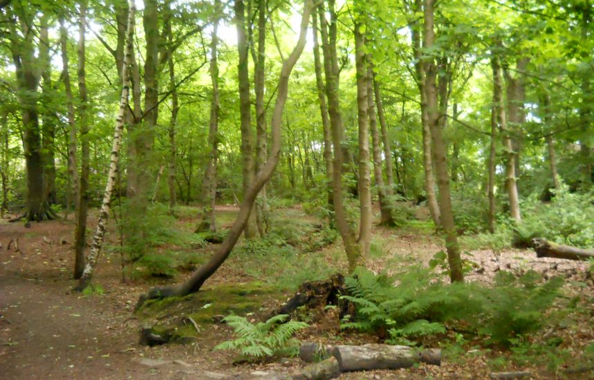
The displayboard
at the entrance
gives an inviting ‘welcome’ to the woods
which have a
mix of old mature and new trees, the old ones
having been planted around 150
years ago when
this area was farmland and orchards and
also part of Garscube Estate.
The mature trees
also provide
ideal nesting holes for a large variety of
birds including owls and woodpeckers
which can
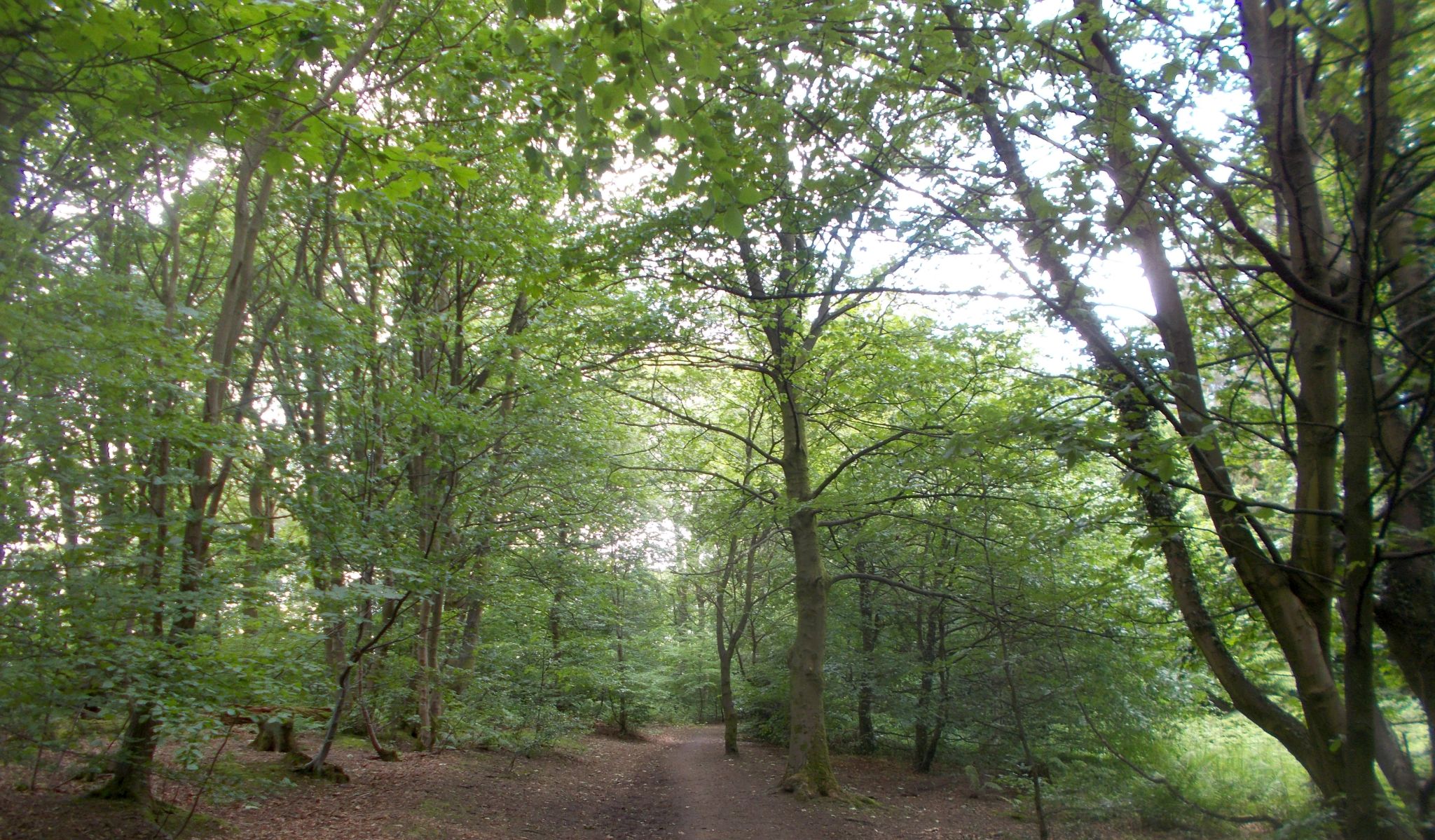
be heard at various times in the woods. The path in the
south section
ofthe wood is fairly straight and passes
houses on
either side till it reaches Henderland Road.
The walk then
crosses the road and enters the
path on the
North section at the side of the display board.
From the loop
trail and the trail marker posts
as shown on
the board there are several possible routes and
entry / exitpoints
for walking with some shorter
or longer than others.
The walk
recommended follows the path in
an anti-clockwise
direction from marker post number
10 to number
1.
It keeps right
at the first cross-path and
crosses over the tarmac path
which cuts
across the wood.
The converted
flats of the old Canniesburn
Hospital become
visible near the top of the wood and there
are several
street exit points on the way round. At number 1 it is
recommended
that the walk continues across the
tarmac path, leaves the wood at
the next exit point on the
right and crosses over Henderland Road
on to Murrayfield
Drive.
Take care on
descending this
steep hill and use the railing if necessary.
At the bottom of
the hill, the
walk crosses over Maxwell Avenue, turns right
and passes the
Westerton Care Home.
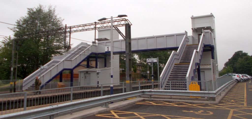
It turns lefl to
enter Westerton
Station, crosses the bridge over the
railway line and then leaves the
Station to
cross the bridge
over the Forth and Clyde Canal.
On leaving the
bridge the walk
turns left towards the canal and then right
onto the canal
towpath.
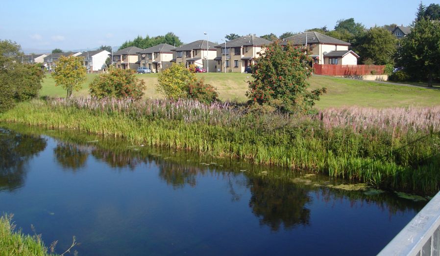
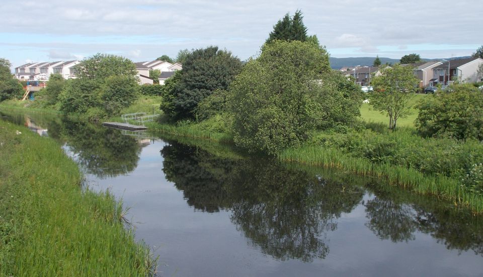
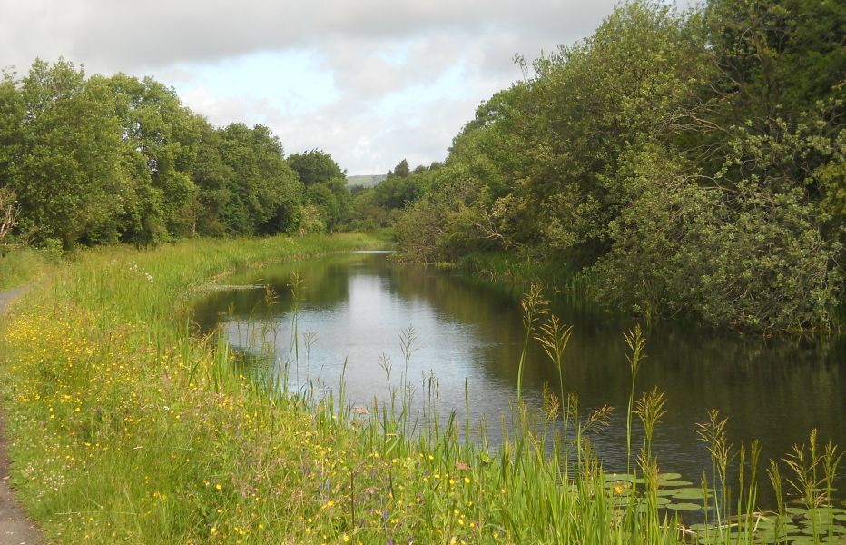
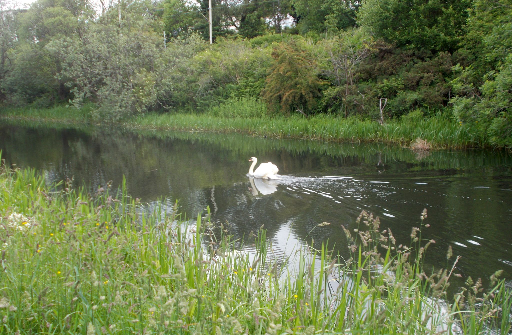
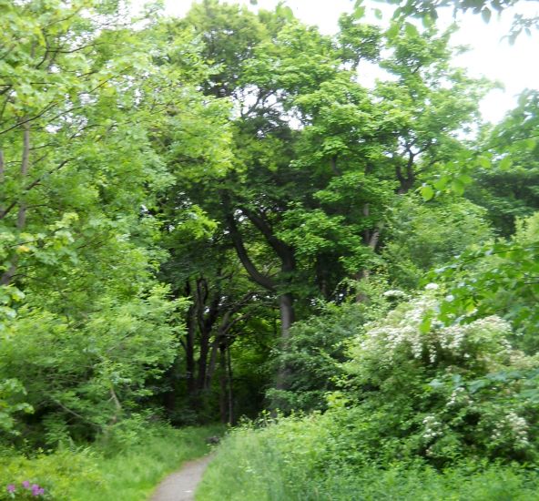
This is a very
pleasant part of the walk with the
ducks swimming
about on the water, the occasional
cyclist riding
along the path and the soft sound of the
trains on the other side of the canal.
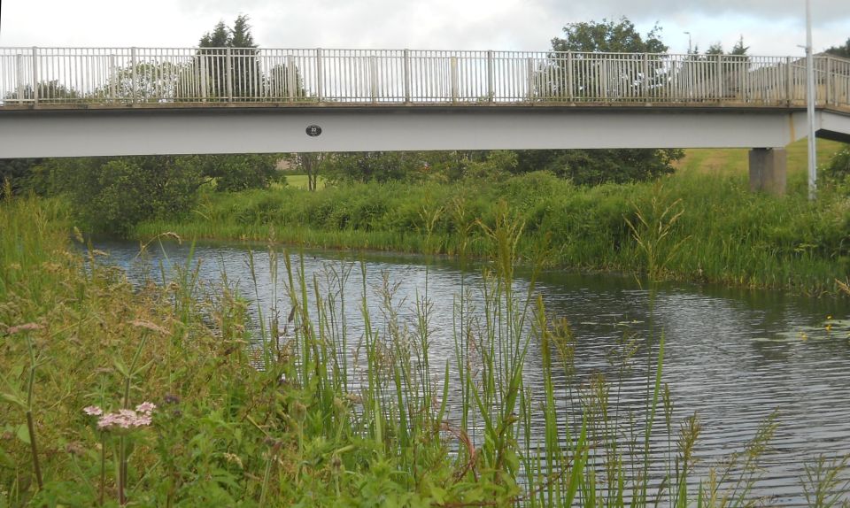
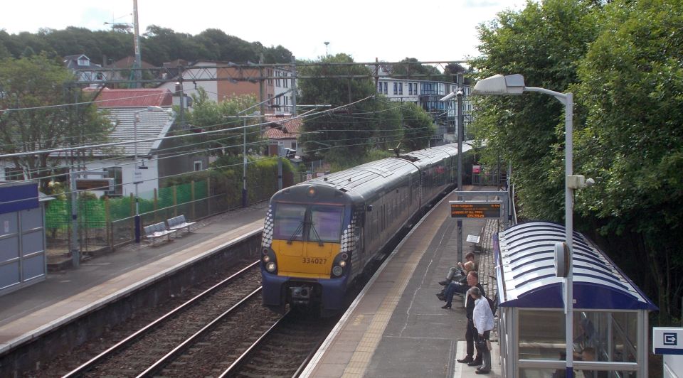
It continues
along the towpath to the David
Lloyd Sports Centre where it
crosses the pedestrian bridge over
the canal
( pictured ) and meets the Farmloan Flats
on the otherside.
Following the
sign ‘Garscube
Estate’, the walk turns right to pass
through the
tunnel below the railway and over the bridge
above the railway
before
emerging onto Westerton Avenue,
the traffic
lights crossing Bearsden Road and back to the
car either
at llay Road / Avenue or in
Garscube Estate.