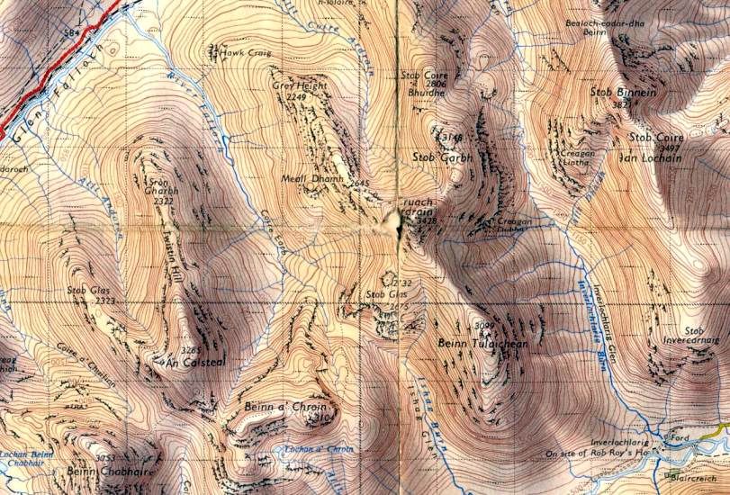
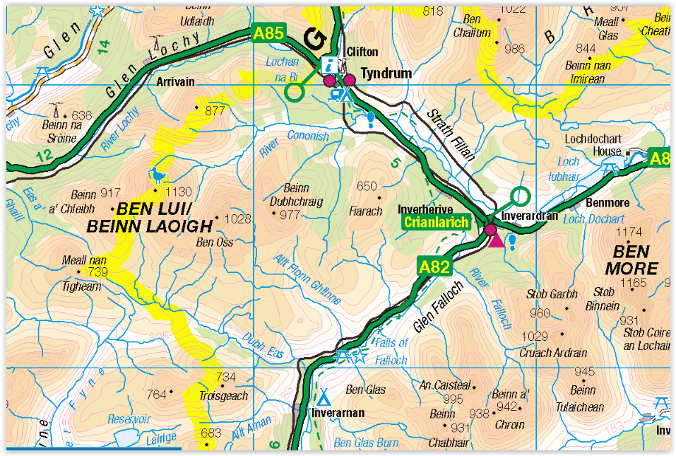
Location:
lnverlochlarig, Perthshlre
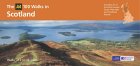
Map: OS Landranger 56 ( GR416196 )
Distance: 5.5 miles ( 9km )
Time: 4 hours 30 minutes
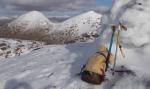
Terrain: open hillside Beinn Tulaichean offers a pleasant short
excursion from Inverlochlarig, beyond the Braes of Balquhidder
and Loch Doine, and while not an outstanding peak in its own right the
hill offers fine views of the
surrounding giants. The route provides a steep haul out of the glen, so
exercise is guaranteed.
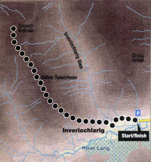
From the car park at the end of the road; walk down towards
Inverlochlarig, last home of Rob Roy
MacGregor, who died here in January 1734. Cross the Inverlochlarig Burn
and a signpost directs you over
the stile on the right beside a white gate.
Follow the muddy path round the riverbank to meet the track up
lnverlochlarig Glen and continue
ascending to another stile and gate. Cross over and take to the
hillside soon after that, climbing up and
left past a large boulder with a tree, to gain the southern flanks of
the hill left of the lower crags. The
start is fairly boggy, so it’s worth making an effort to stick as much
as possible to any high ground.
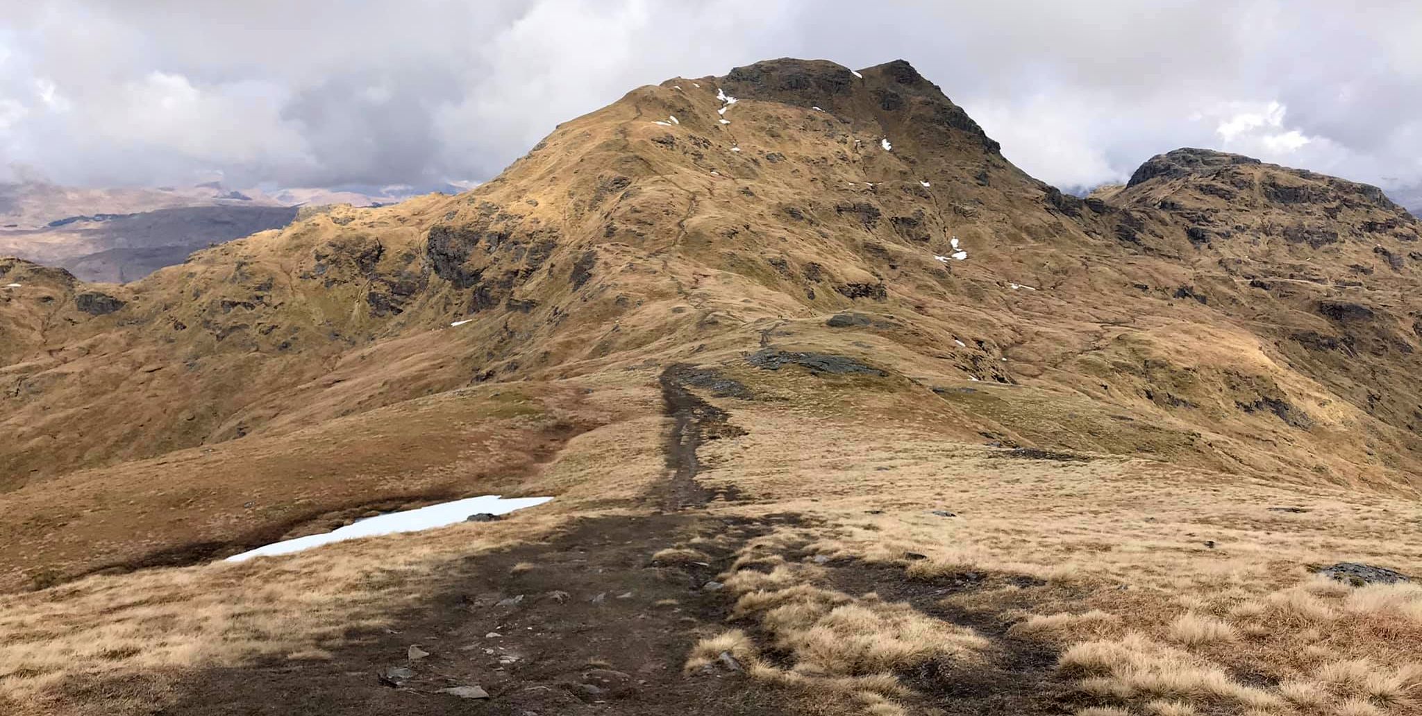
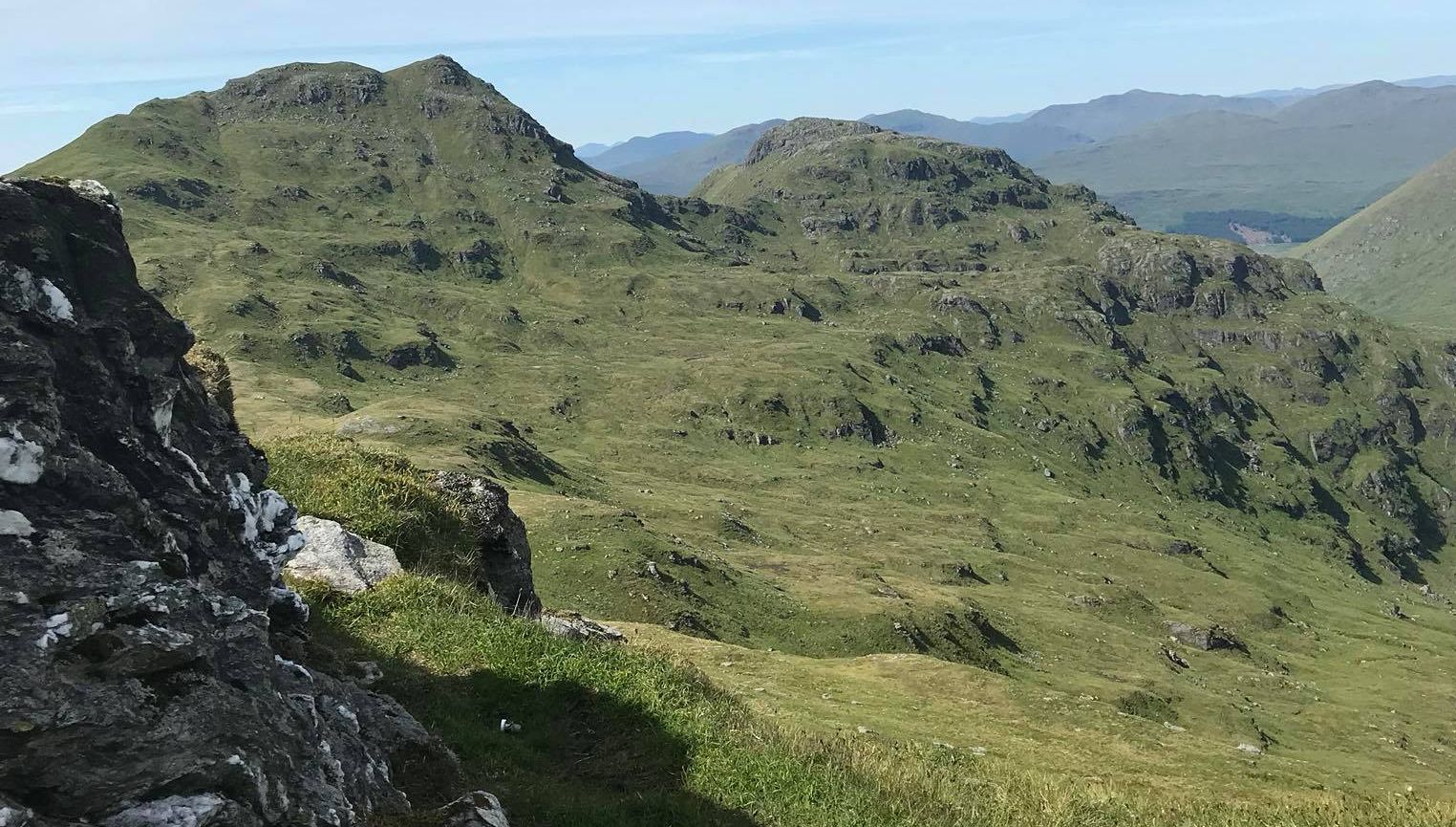
Once gained, zigzag up the grassy slope ( there’s no path ) to an upper
band of crags which are easily
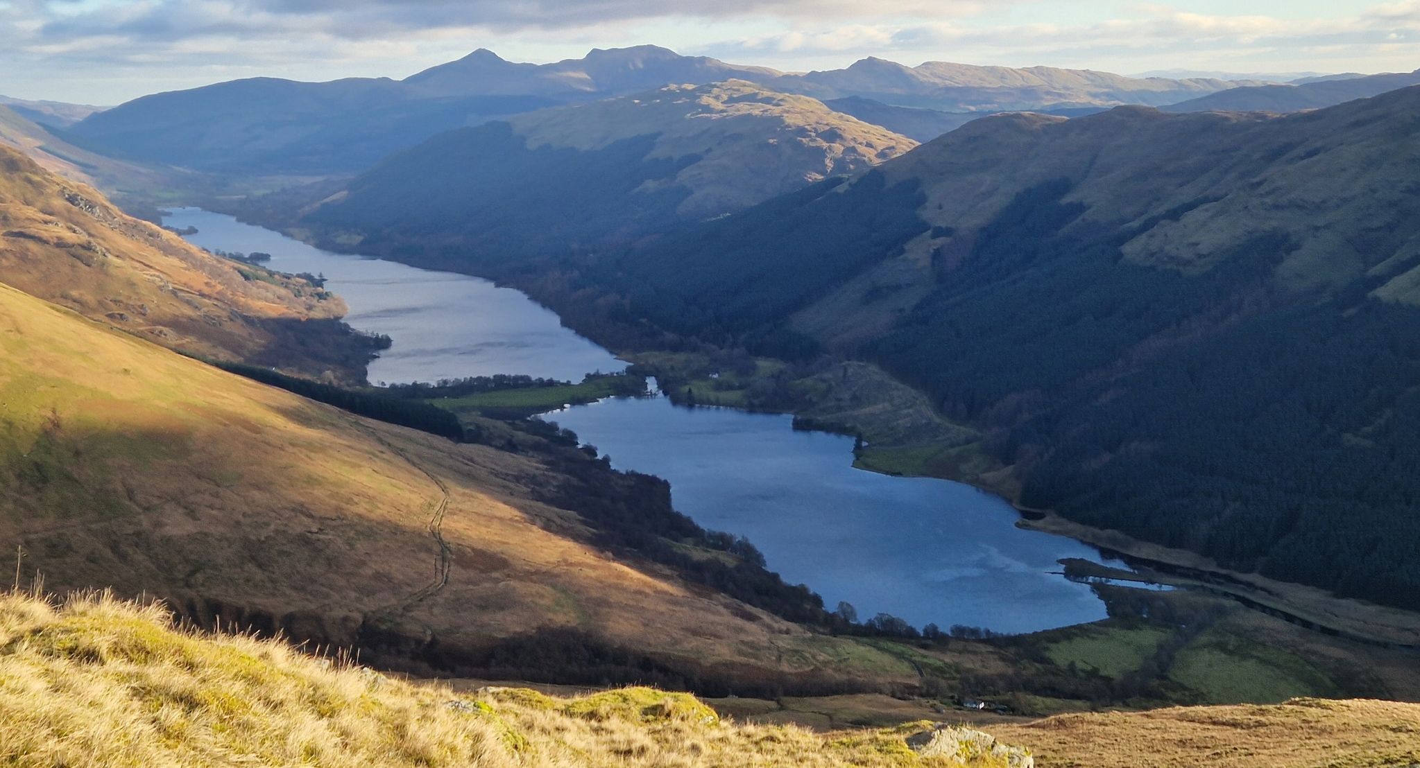
bypassed, to gain the broad upper ridge which gives extensive views
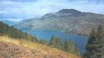
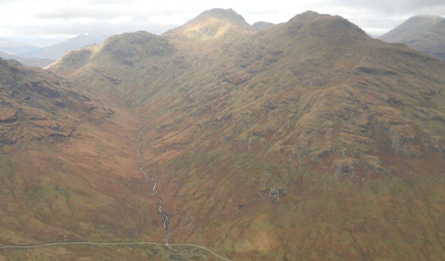
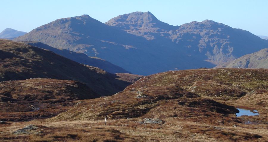
east to the impressive peaks of
Ben More and Stob Binnein and across Loch Voil to Ben Vorlioh and Stuc
a’ Chroin. To the south,
rocky Stob a’ Chroin dominates the View with Benvane and Ben Ledi
poking their heads over the
rounded lower peaks. Through a gap in the hills the prominent double
summit of Ben Venue can
be seen in the distance. The ridge becomes increasingly defined as you
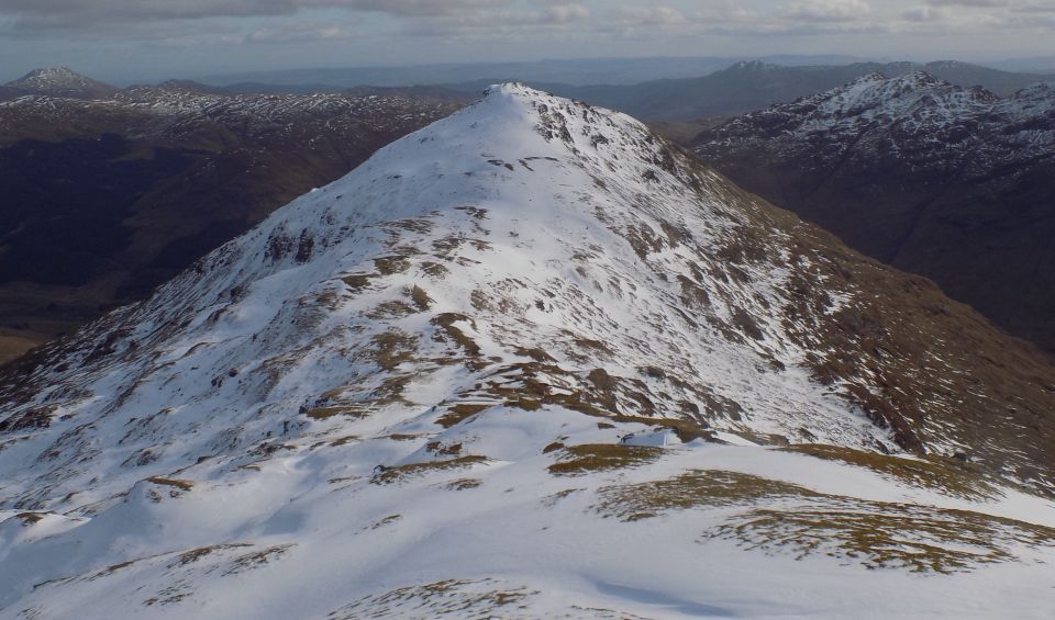
gain height, culminating in the rocky smnmit ( 946m; 3104ft ). From
here there are various options. Returning straight to Inverlochlarig
makes for a short but
satisfying day, while those in search of further exercise can continue
to Cruach Ardrain ( 1046m; 3432ft along the connecting ridge. There is
very little descent, but a fair amount of ascent to reach the summit,
which takes a further 40 minutes or so. The best return is probably
back over the summit of Beinn Tulaichean, although a reasonable descent
can be made from the col between the two peaks, down the initially
craggy then grassy east face to
Inverlochlarig Glen. This leads to the continuation of the track up the
glen used at the start, which you
can follow back down to Inverlochlarig. If venison is your thing then
on your way back to
the car park, call in at the Inverlochlarig farm shop on the right
after crossing the bridge back over the
Inverlochlarig Burn.
 :: An
Caisteal
Gallery
:: An
Caisteal
Gallery 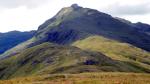 ::
West
Highland
Way
::
West
Highland
Way