  |
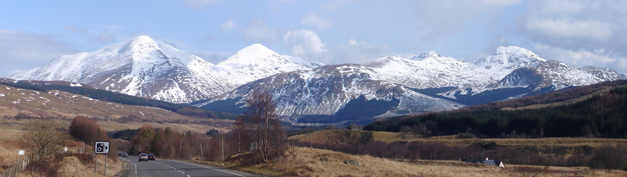
The Scottish HighlandsBen More & Stob Binnein
|
  |
| |
The Scottish HighlandsBen More & Stob Binnein
|
|
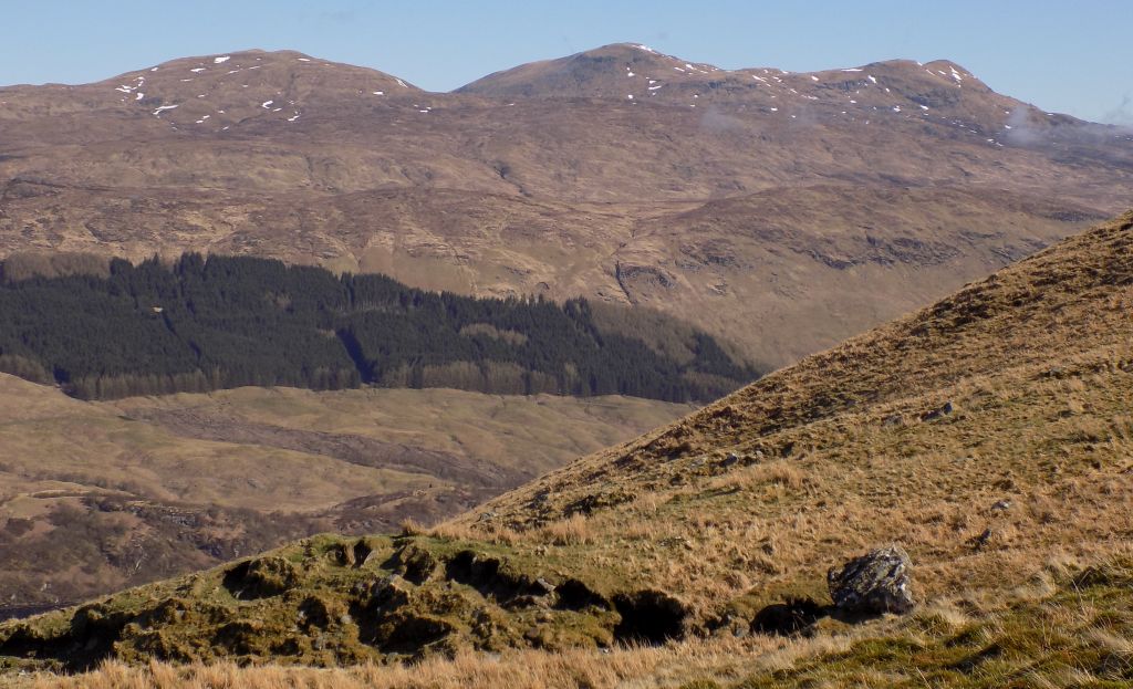
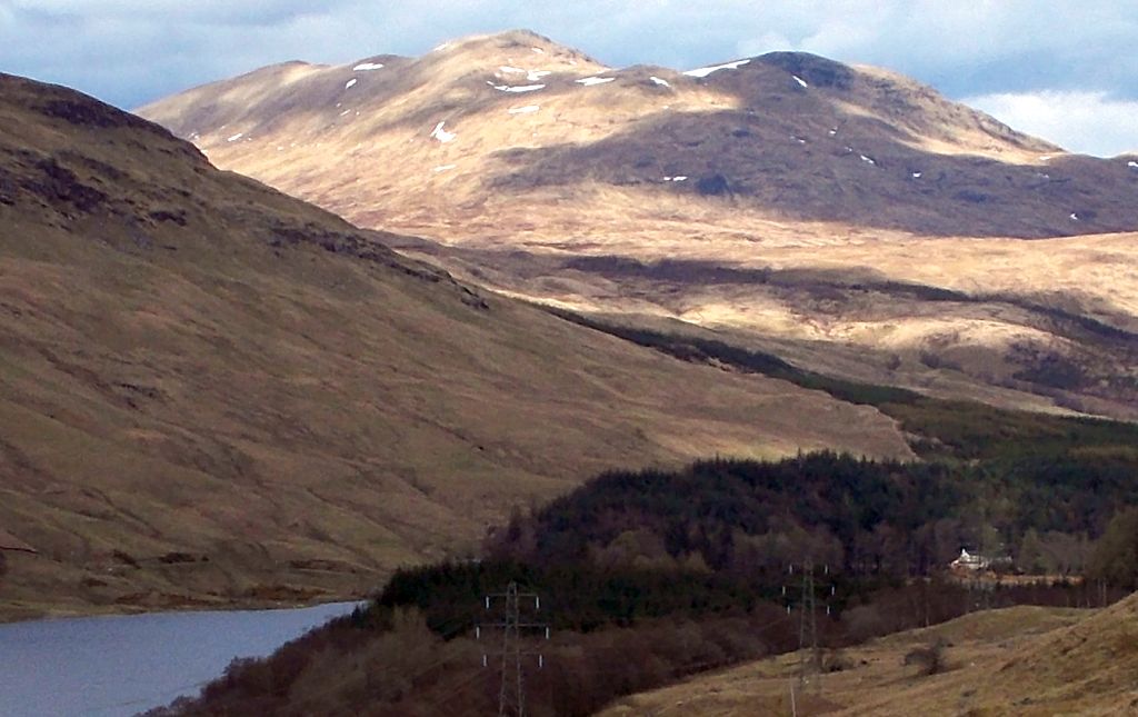
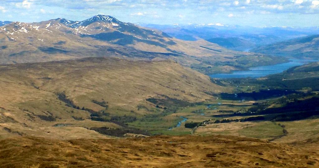
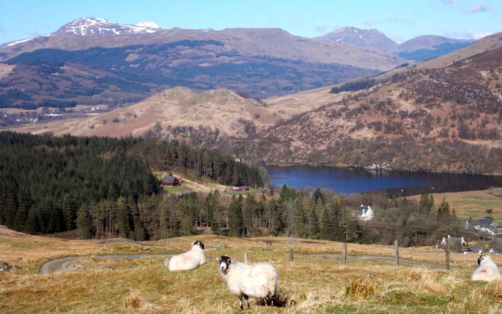 Ben Challum and Loch
Dochart
|
|
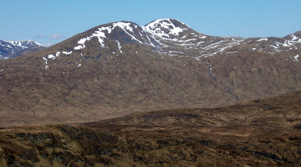
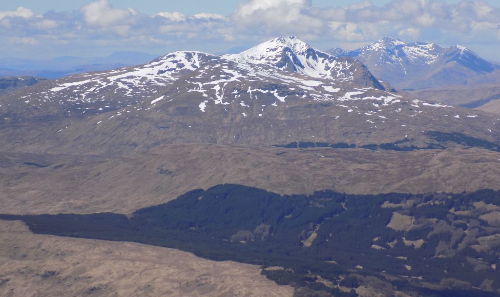
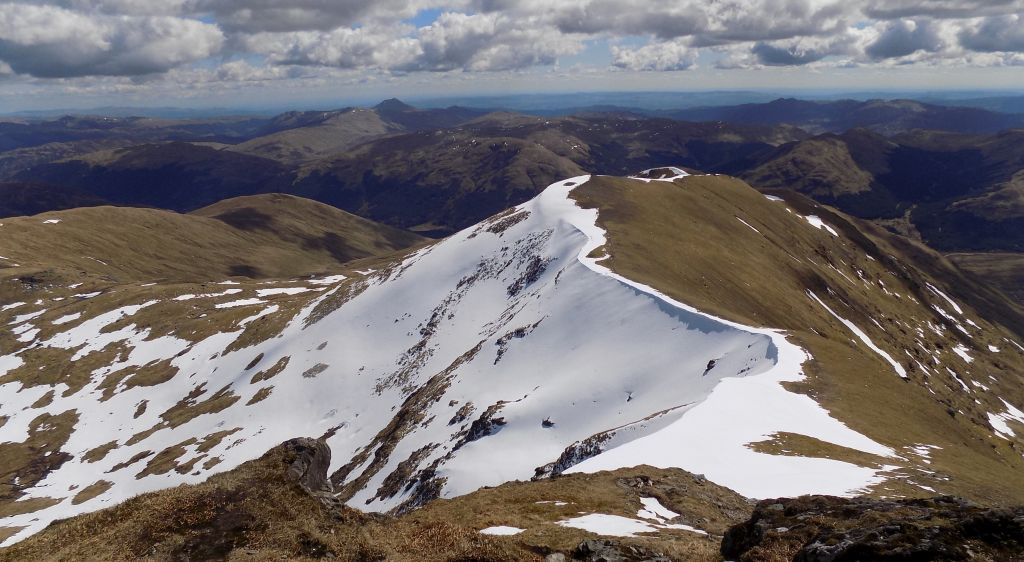
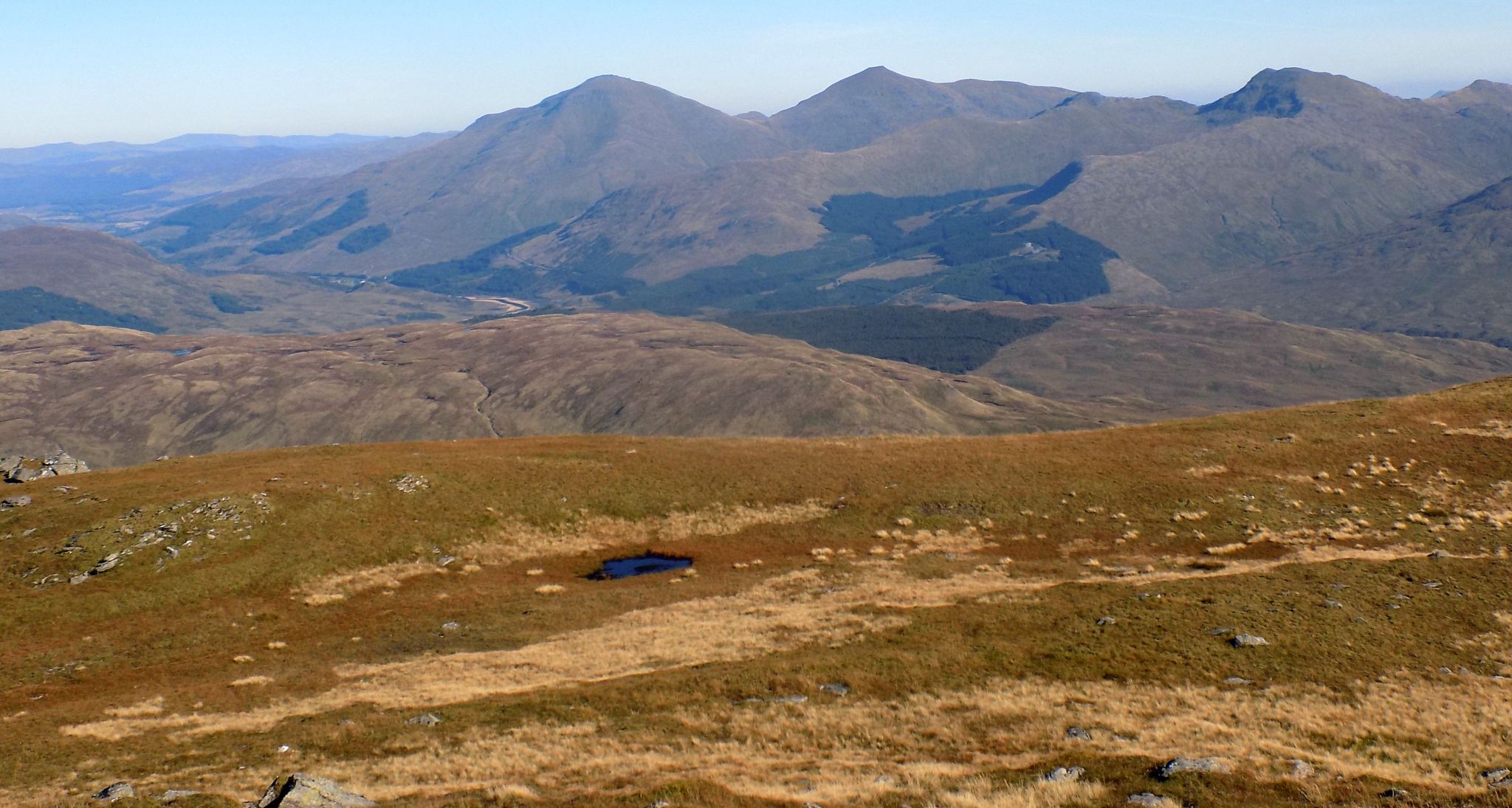
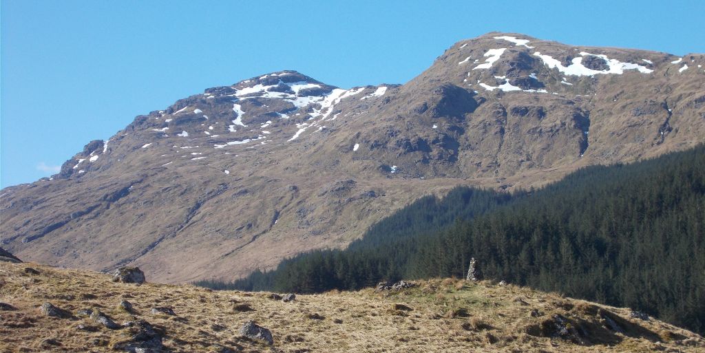 Stob Garbh
and Stob Coire
Bhuidhe
|
|
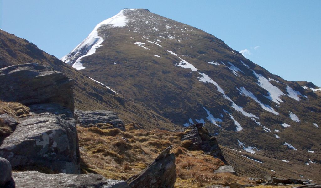 Stob
Binnien
|
|
 |
 Stob
Binnein
|
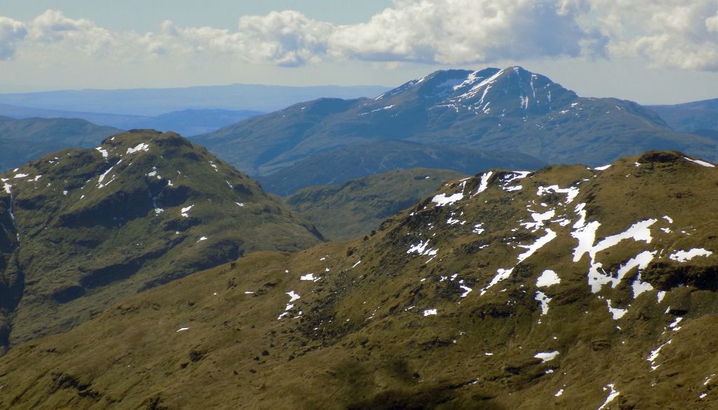
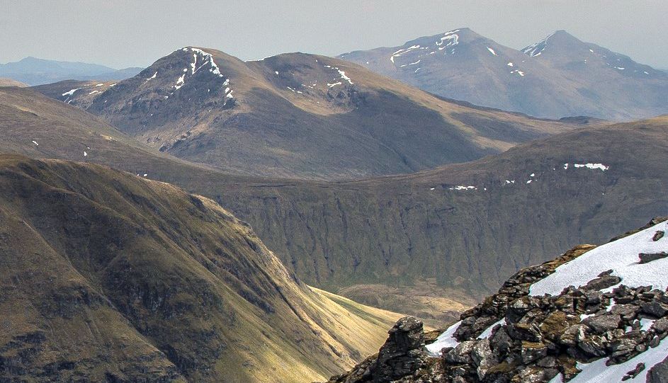
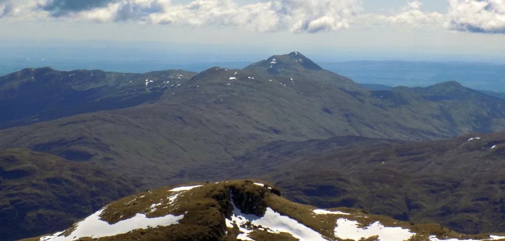
 Ben
Lui
from Ben More |
|
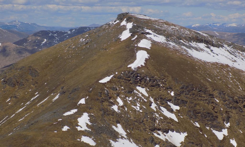
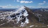
 Stob
Binnein
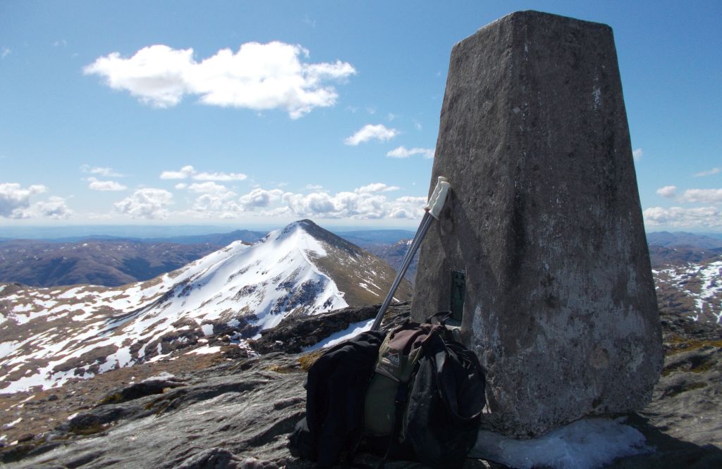
from trig point on Ben More ( 1,174m, 3,852ft ) ( Beinn Mhòr - "Great Mountain" ) |
|
 Ben Nevis
from Ben More |
|
 Ben
Vorlich and Stuc
a'Chroin
from Stob Binnein |
|
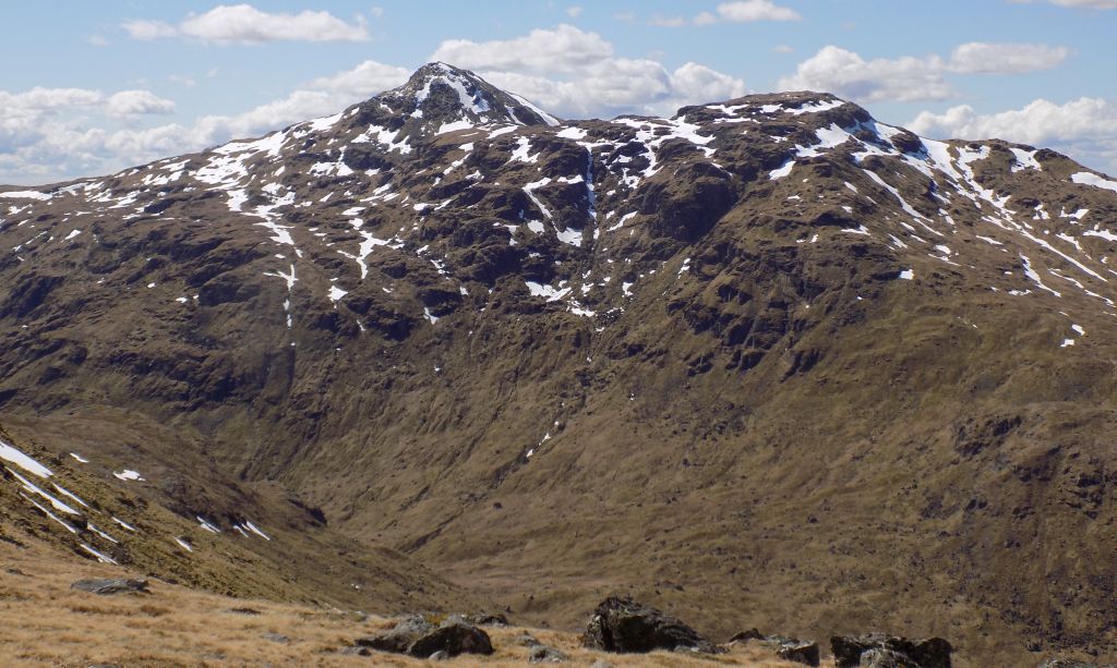
 Stob
Coire an Lochain
from Stob Binnein |
|
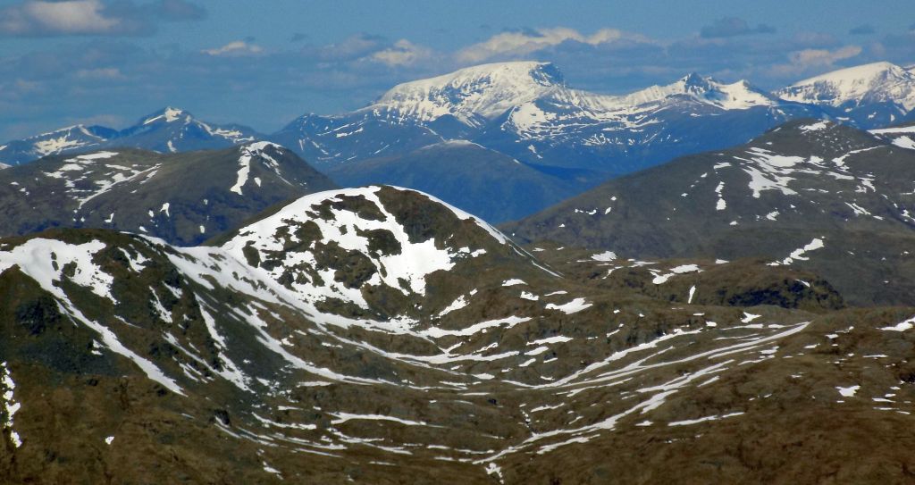
 Ben Lawyers Group
above Loch Tay from Stob Binnein |
|
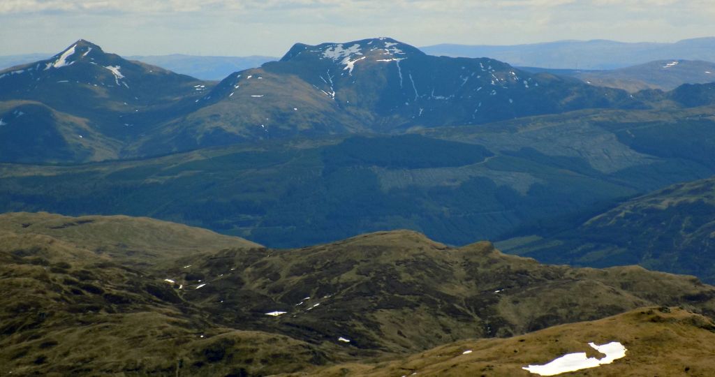
 Ben
Ledi
from Stob Binnein |
|
 Ben More & Stob
Binnein
and Stob Garbh & Cruach Ardrain from West Highland Way on the approach to Tyndrum from Crianlarich |
 |
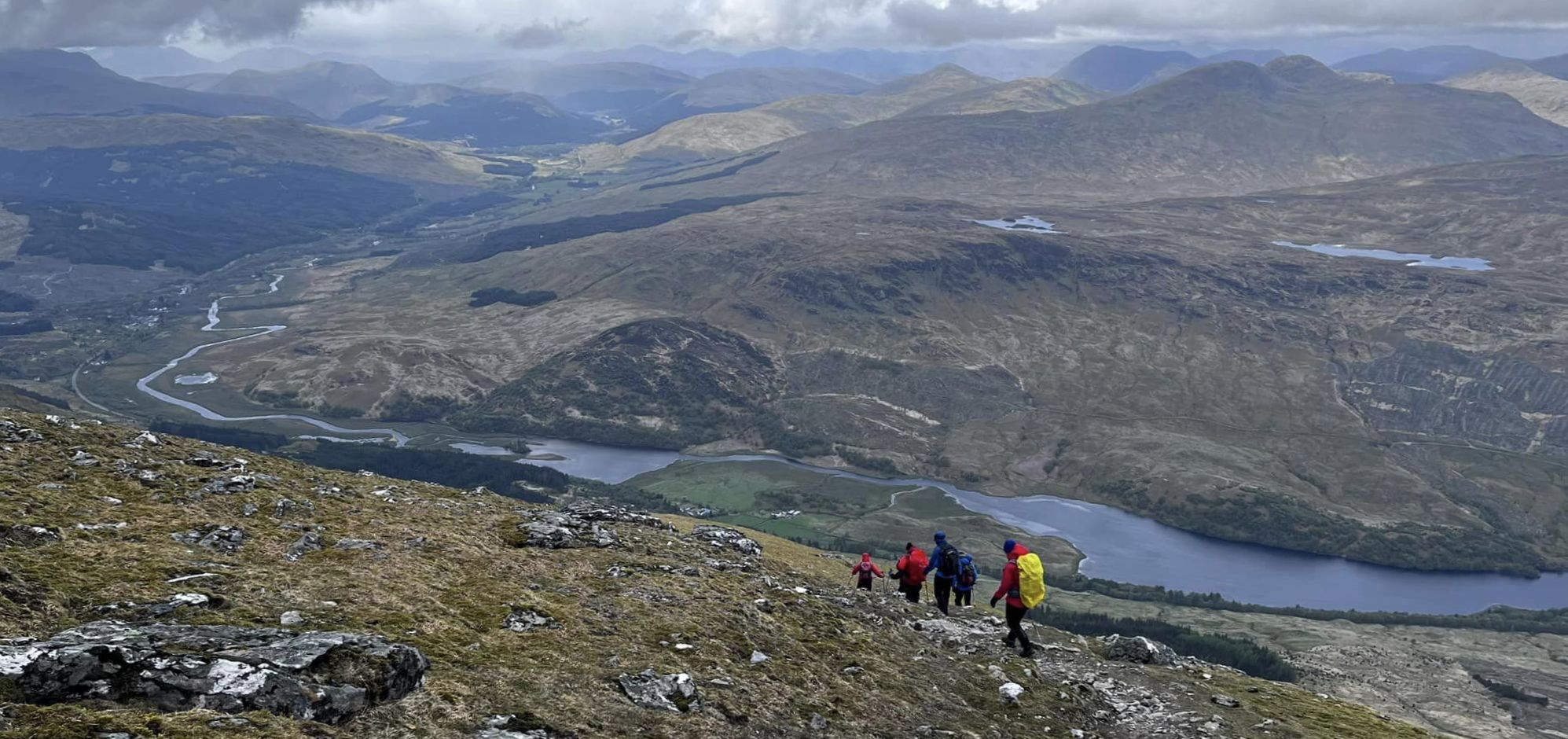 Descent from Ben More
|
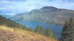
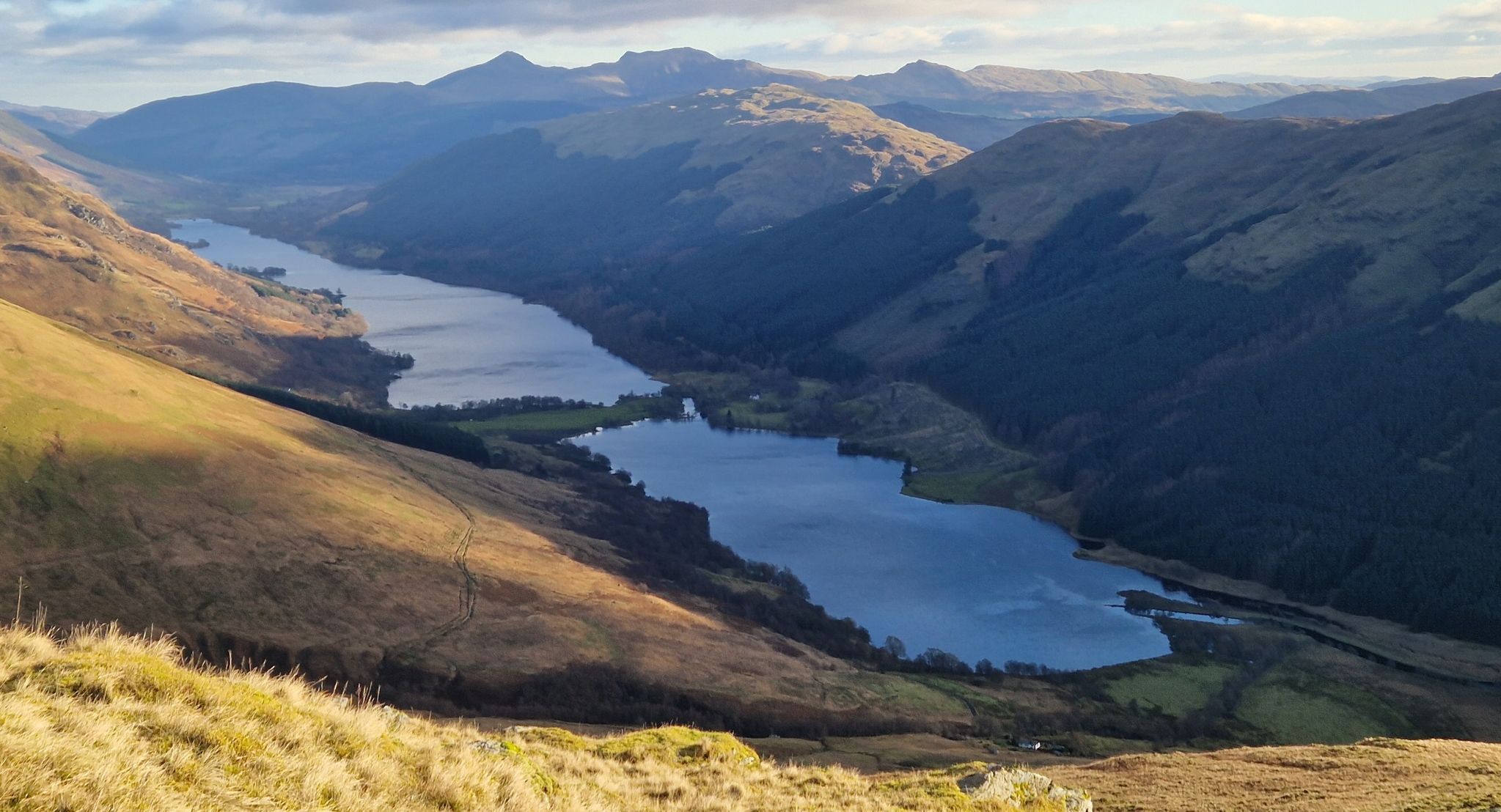 Loch Voil and Loch Doine on descent from Stob Binnein
|
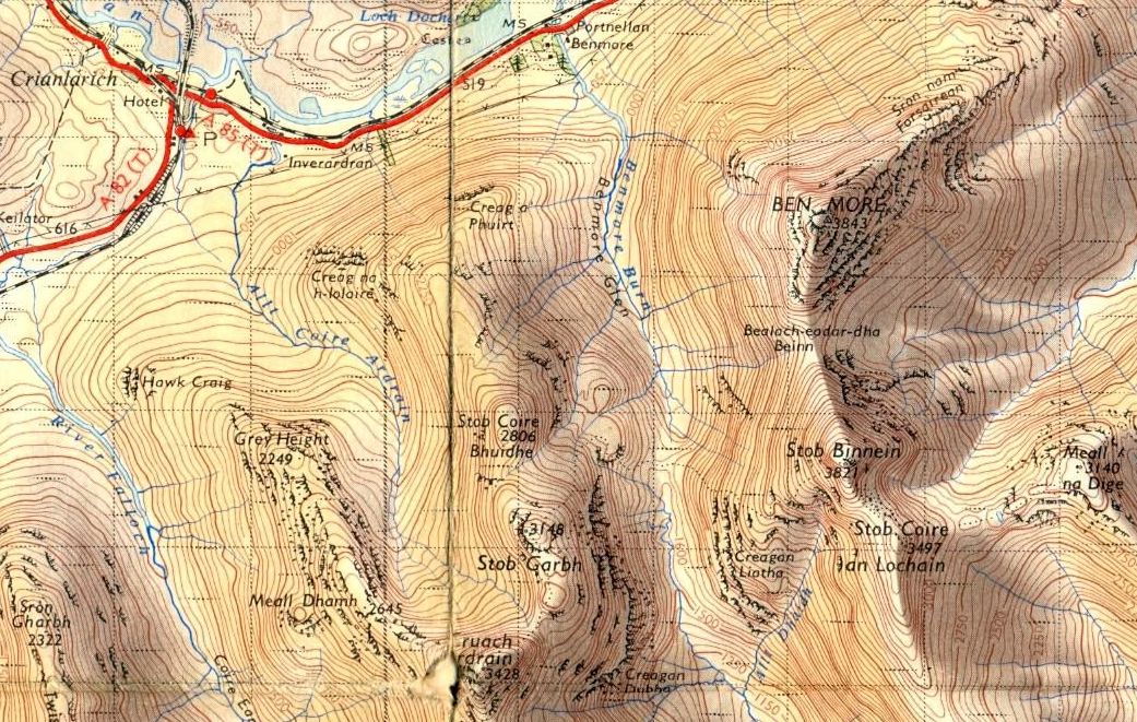 Map for
Ben More and Stob Binnein
|
|
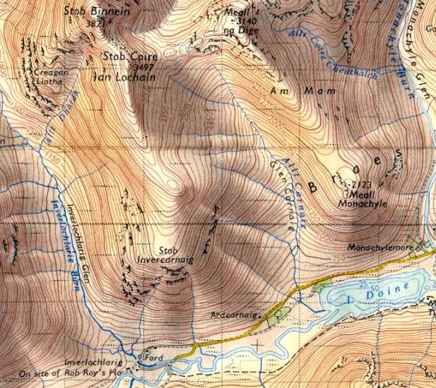 Map for Stob
Binnein
- southern access |
|
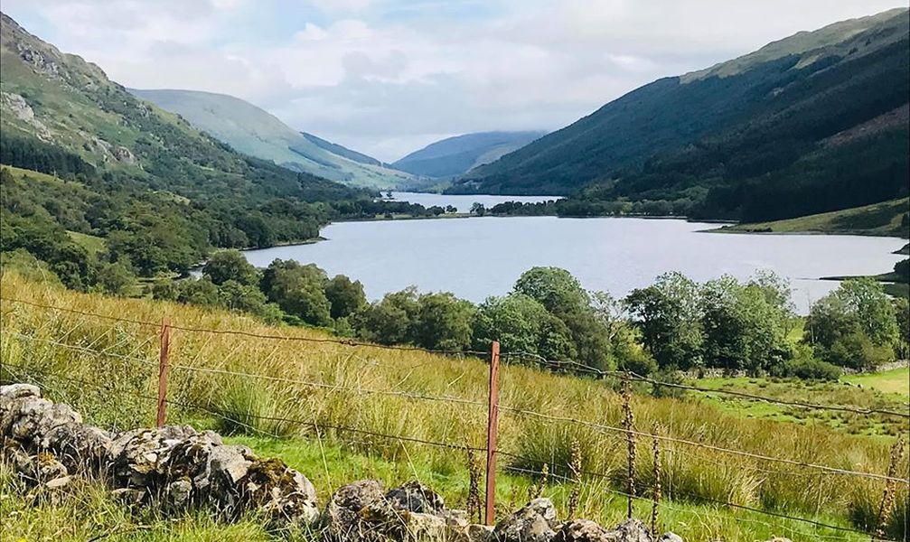 Loch
Doine
on southern access to Stob Binnein |
|
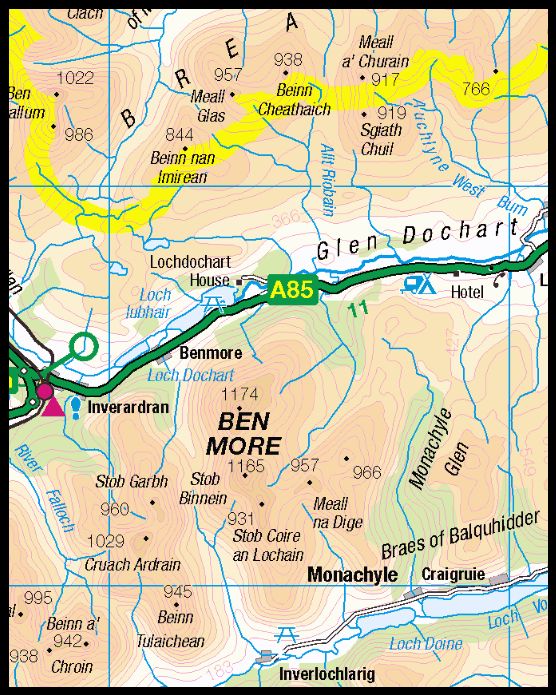 Location
Map for
Ben More and Stob Binnein
|
|
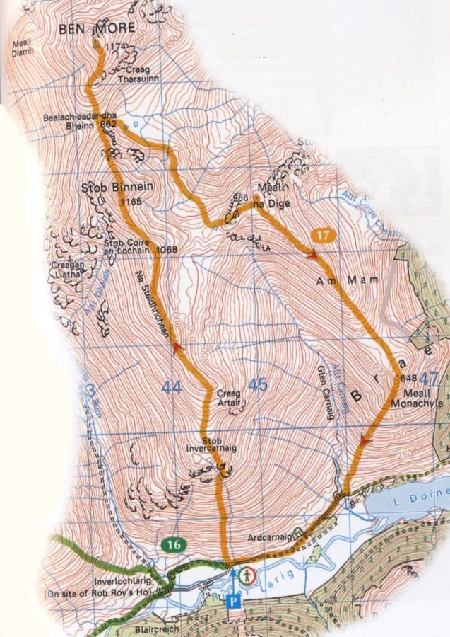 Map for
Ben More and
Stob
Binnein
( Click here or on map for larger format copy ) |
|
Route
Map for Stob
Binnein
|
|
STOB BINNEIN - ROUTE DESCRIPTION:
 ::
West
Highland
Way
::
West
Highland
Way