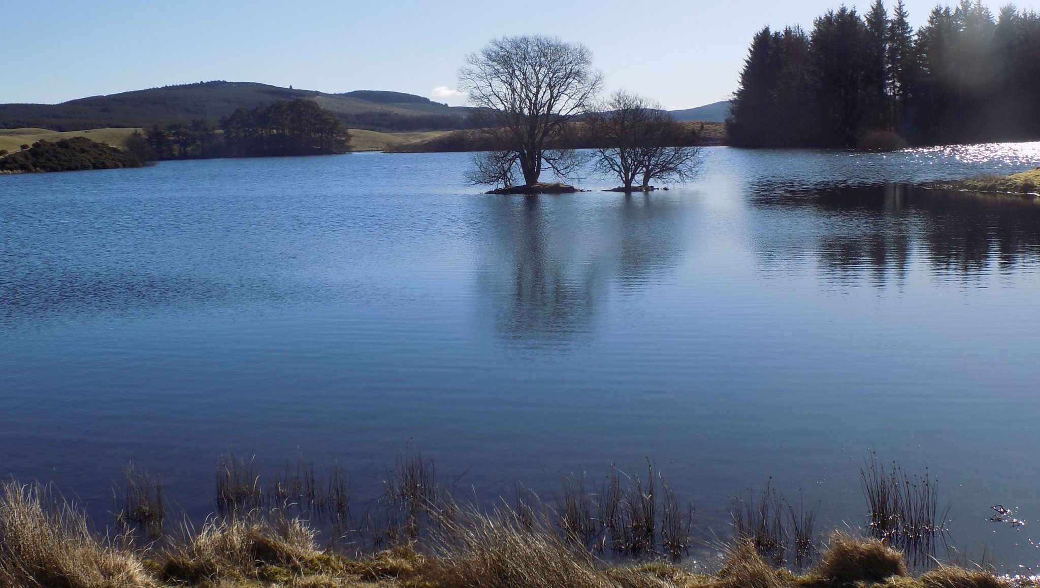
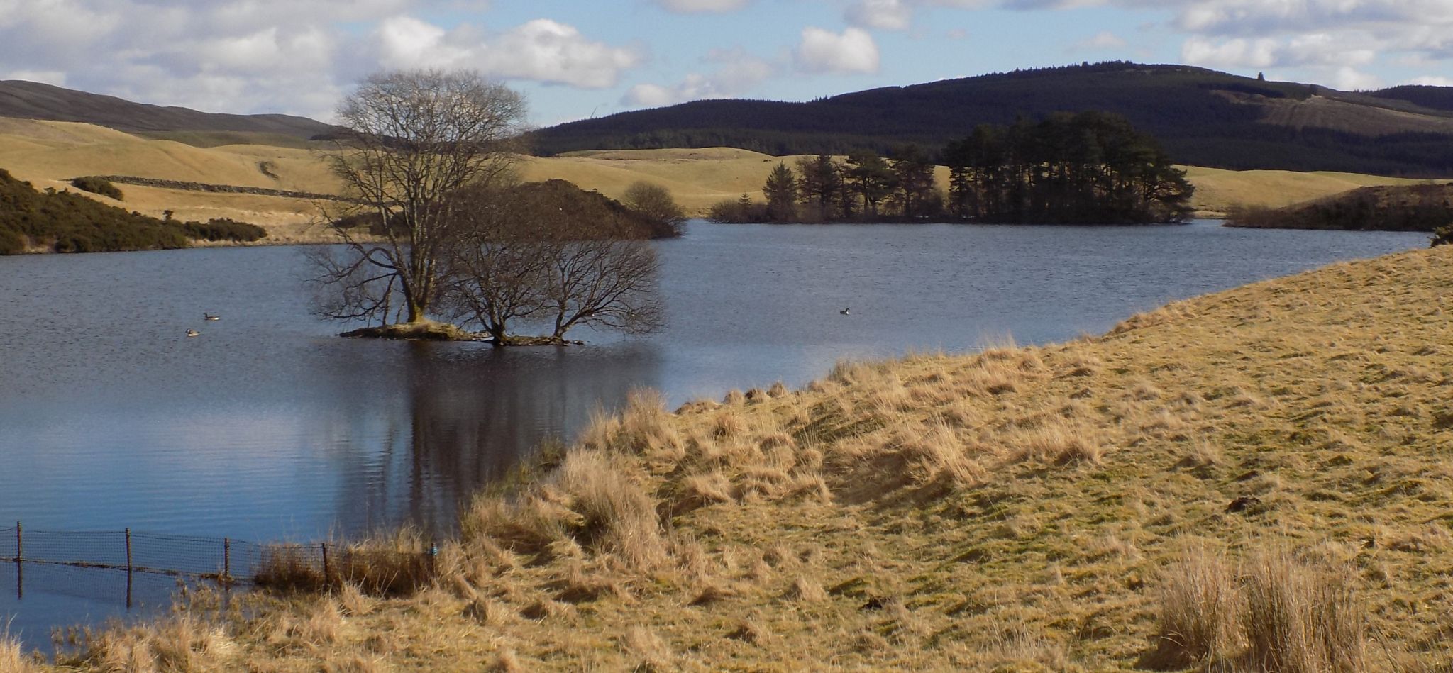
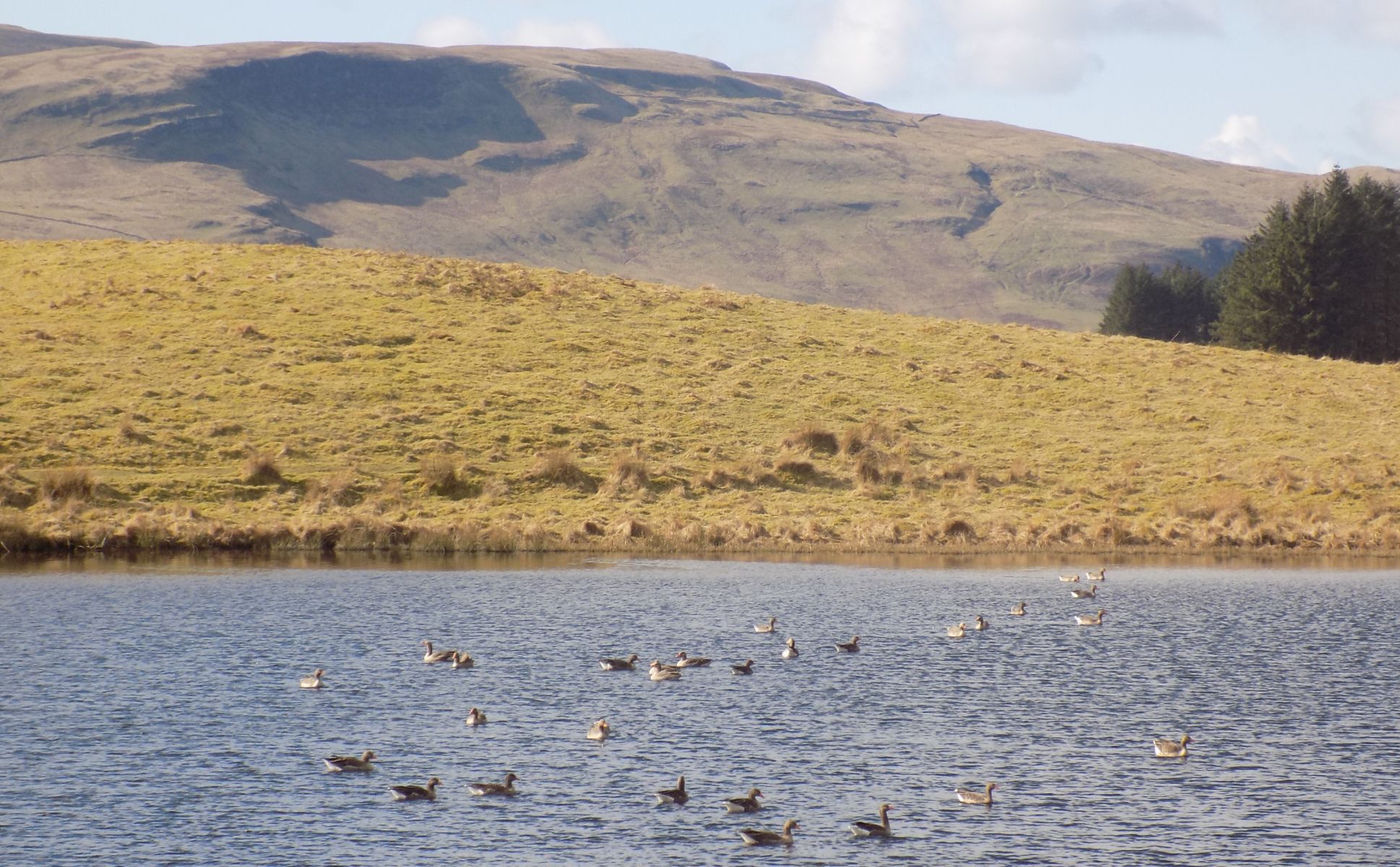
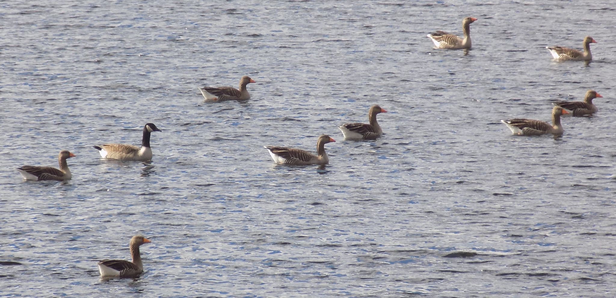
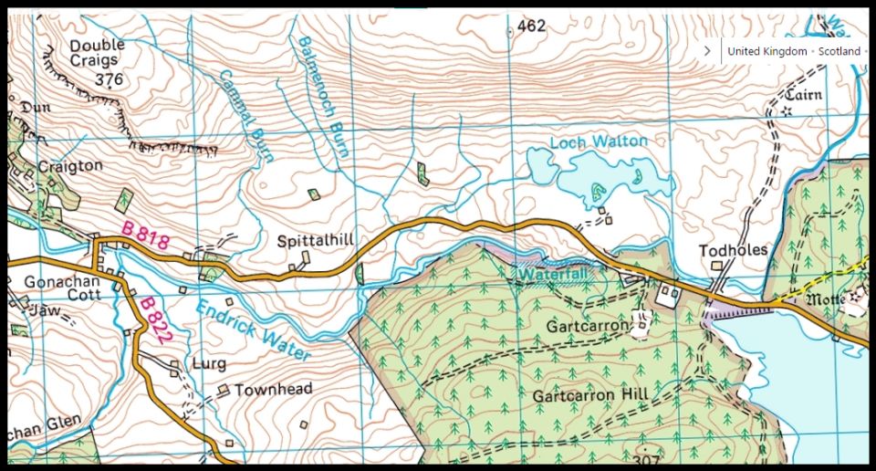
West Highland Way: Trailblazer Ochils and Campsie Fells

 Campsie Fells

Loch Walton
West Highland Way - Map West Highland Way: Footprint Map
 

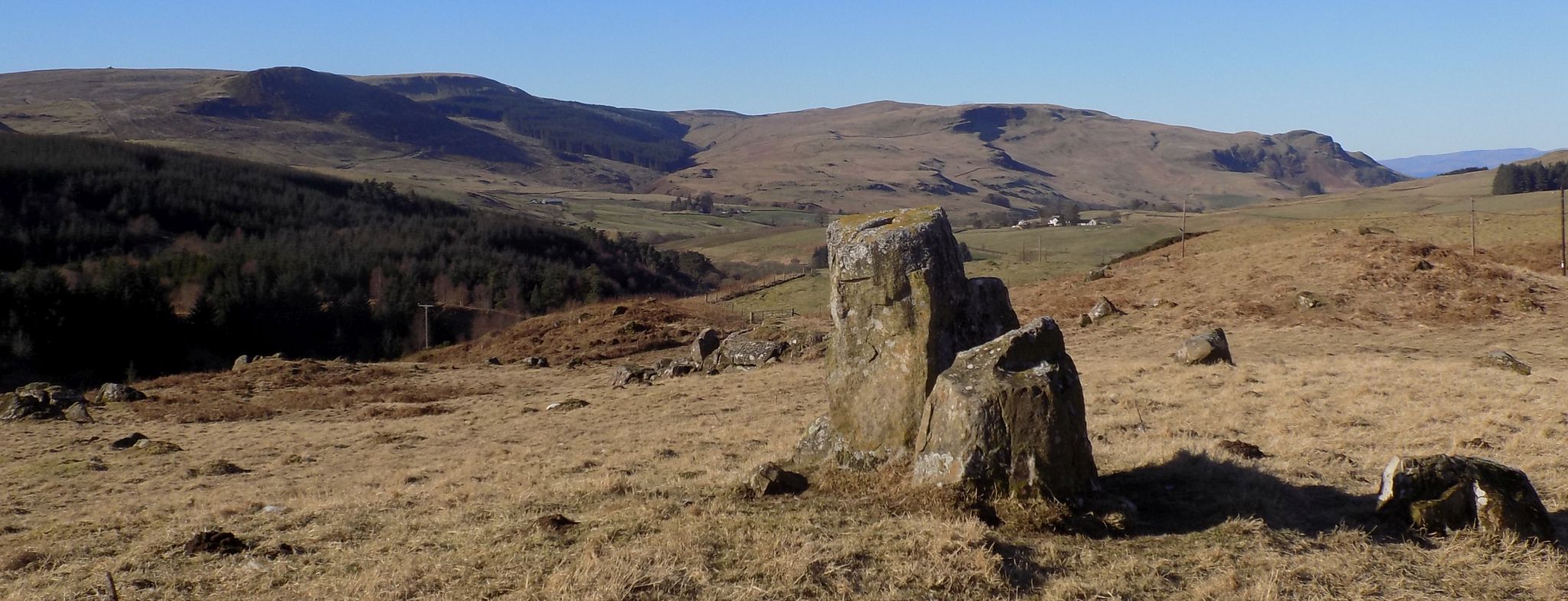
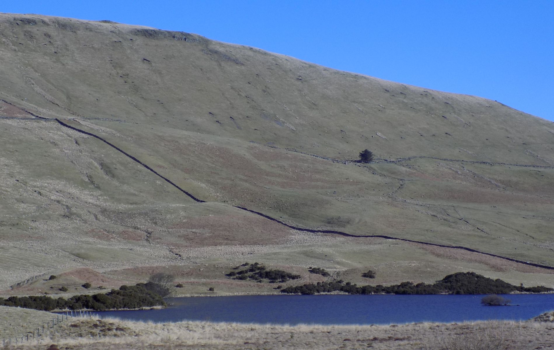
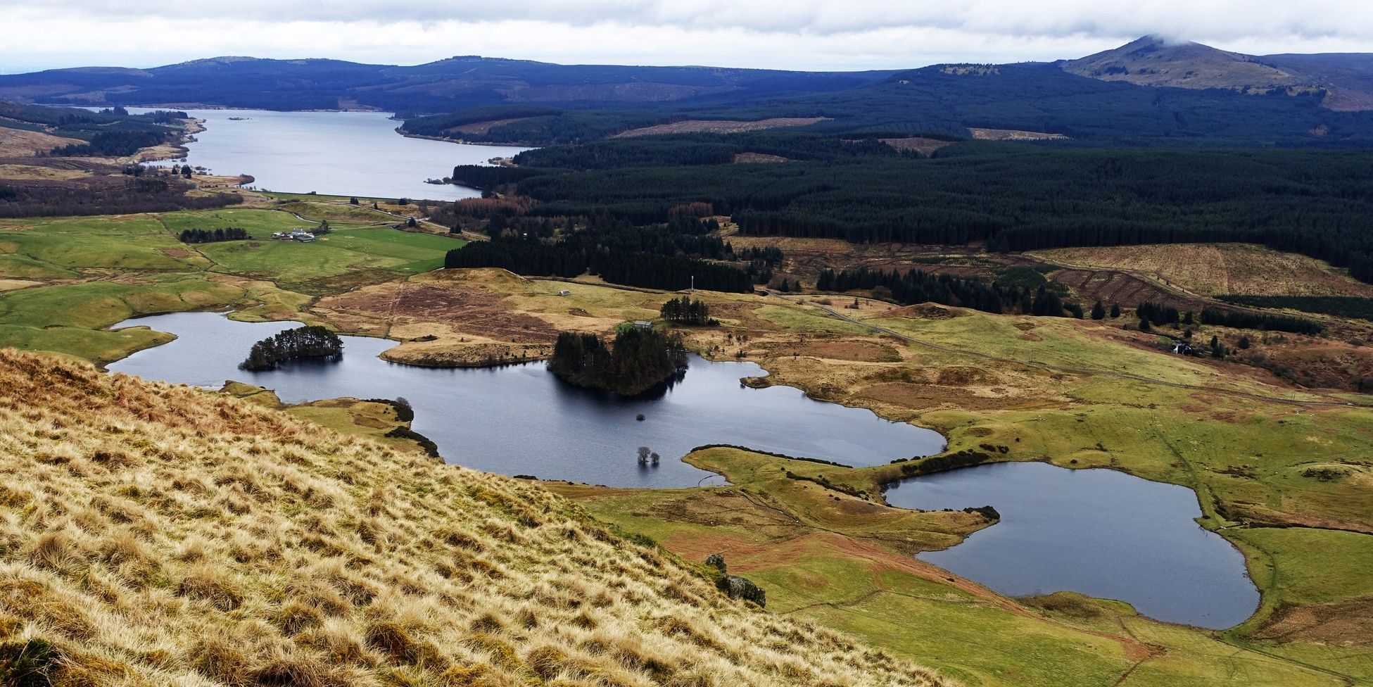
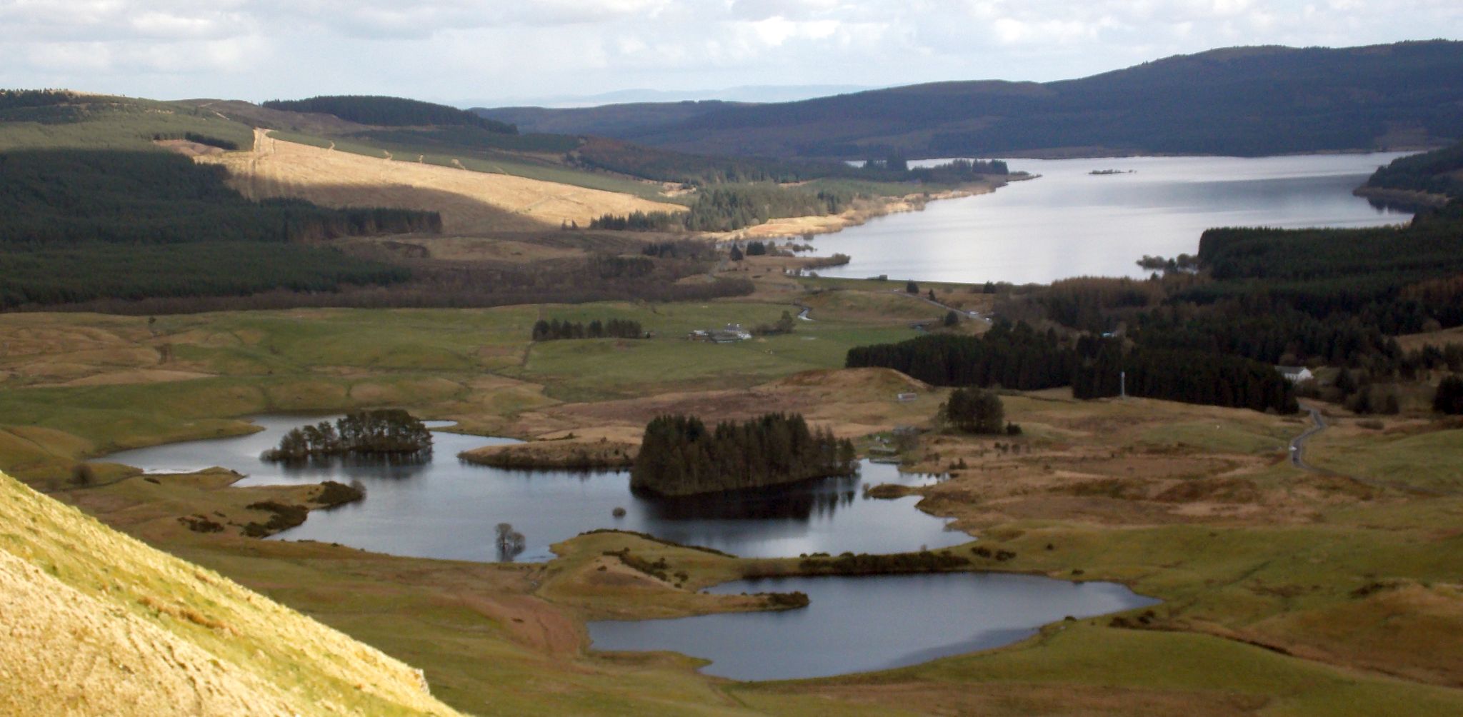
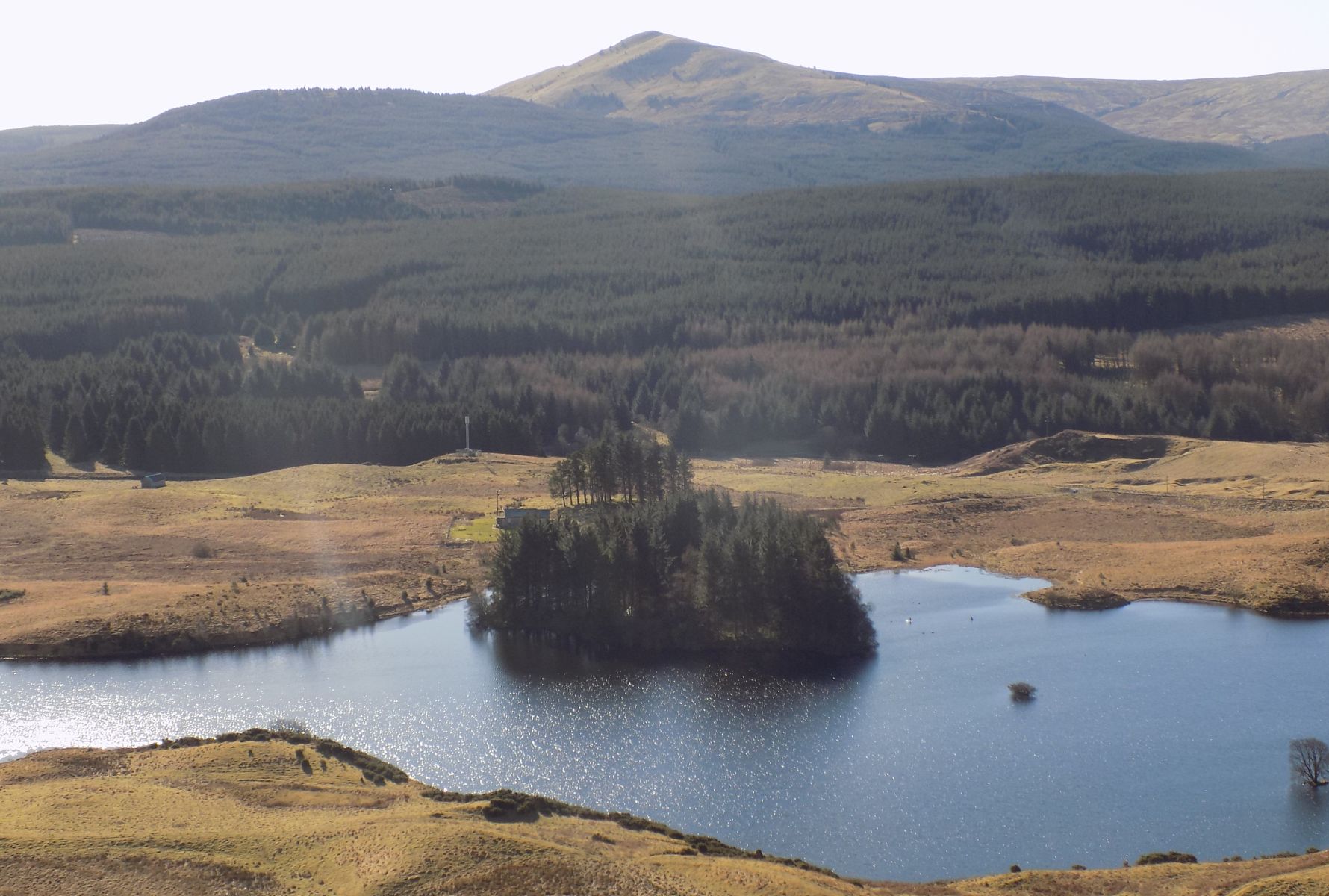
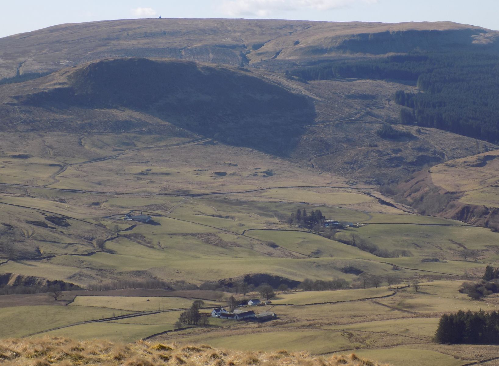
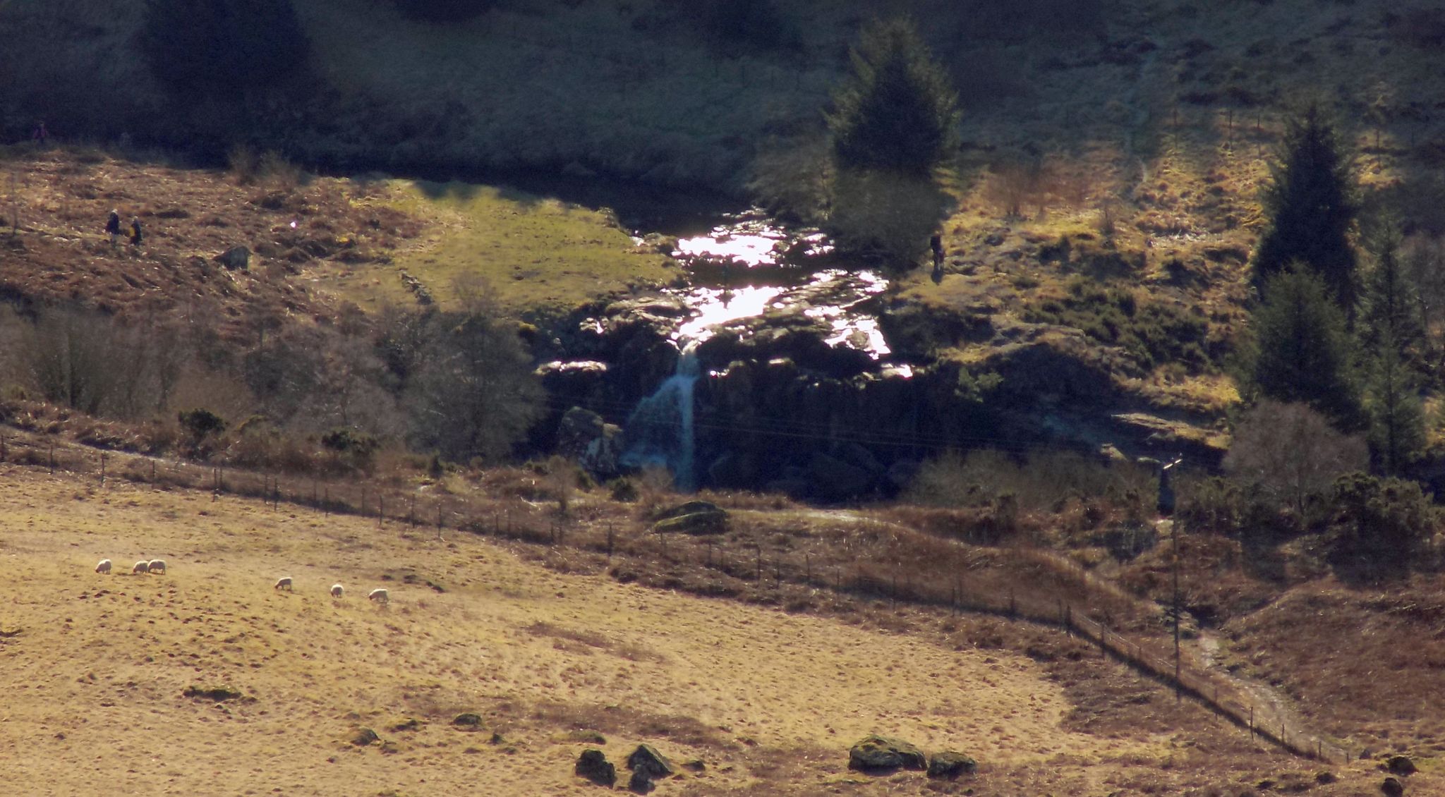
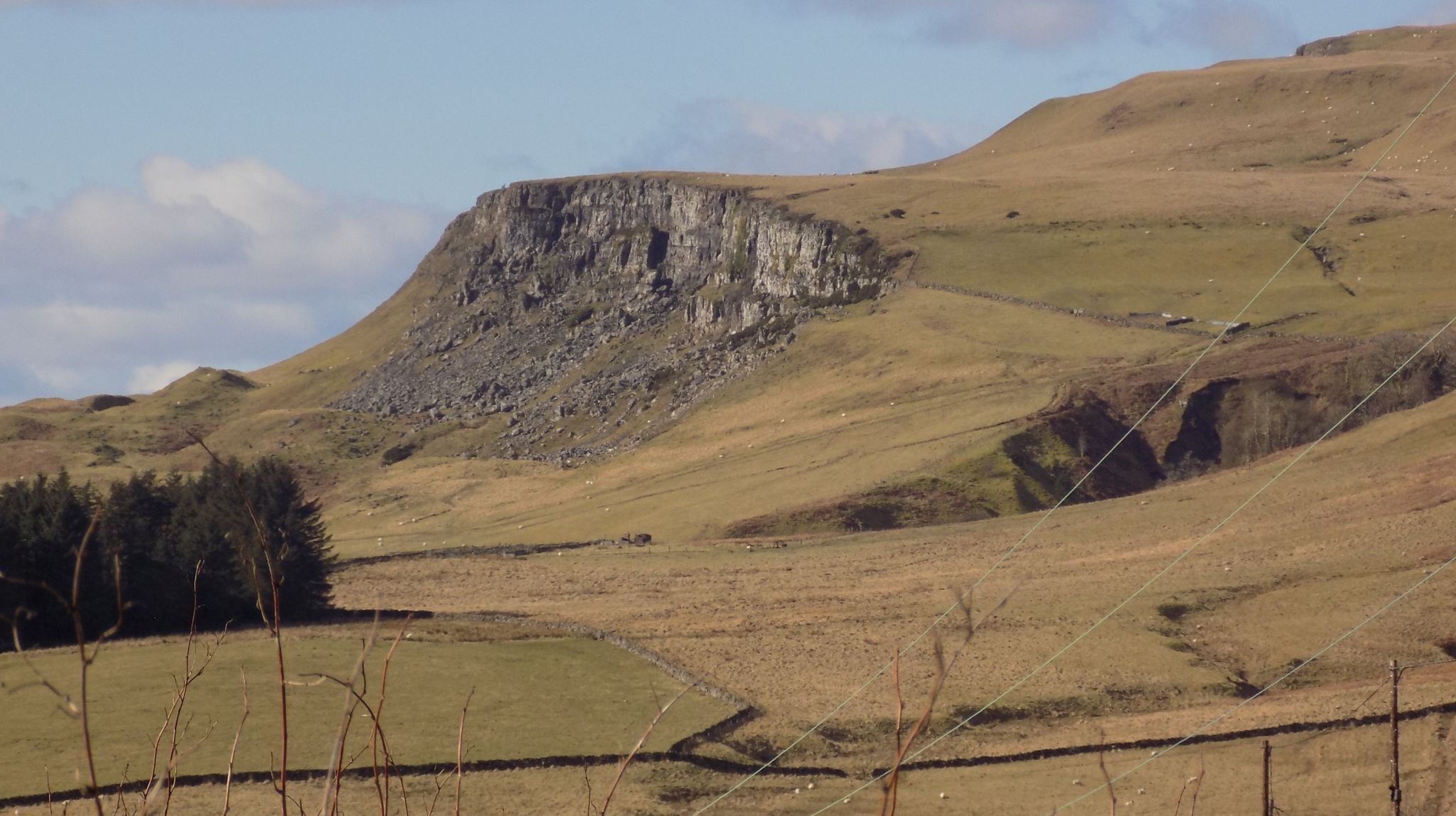
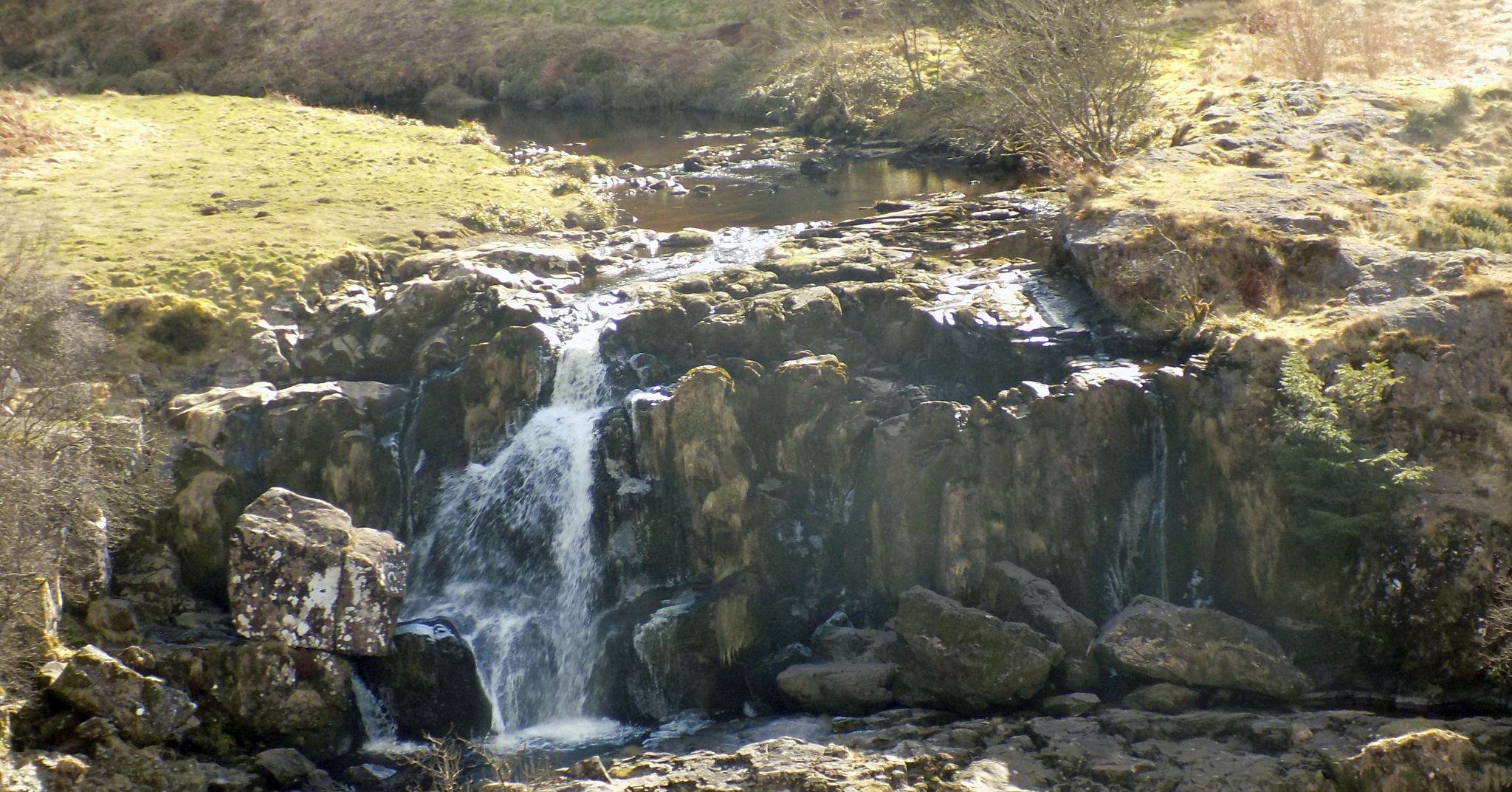
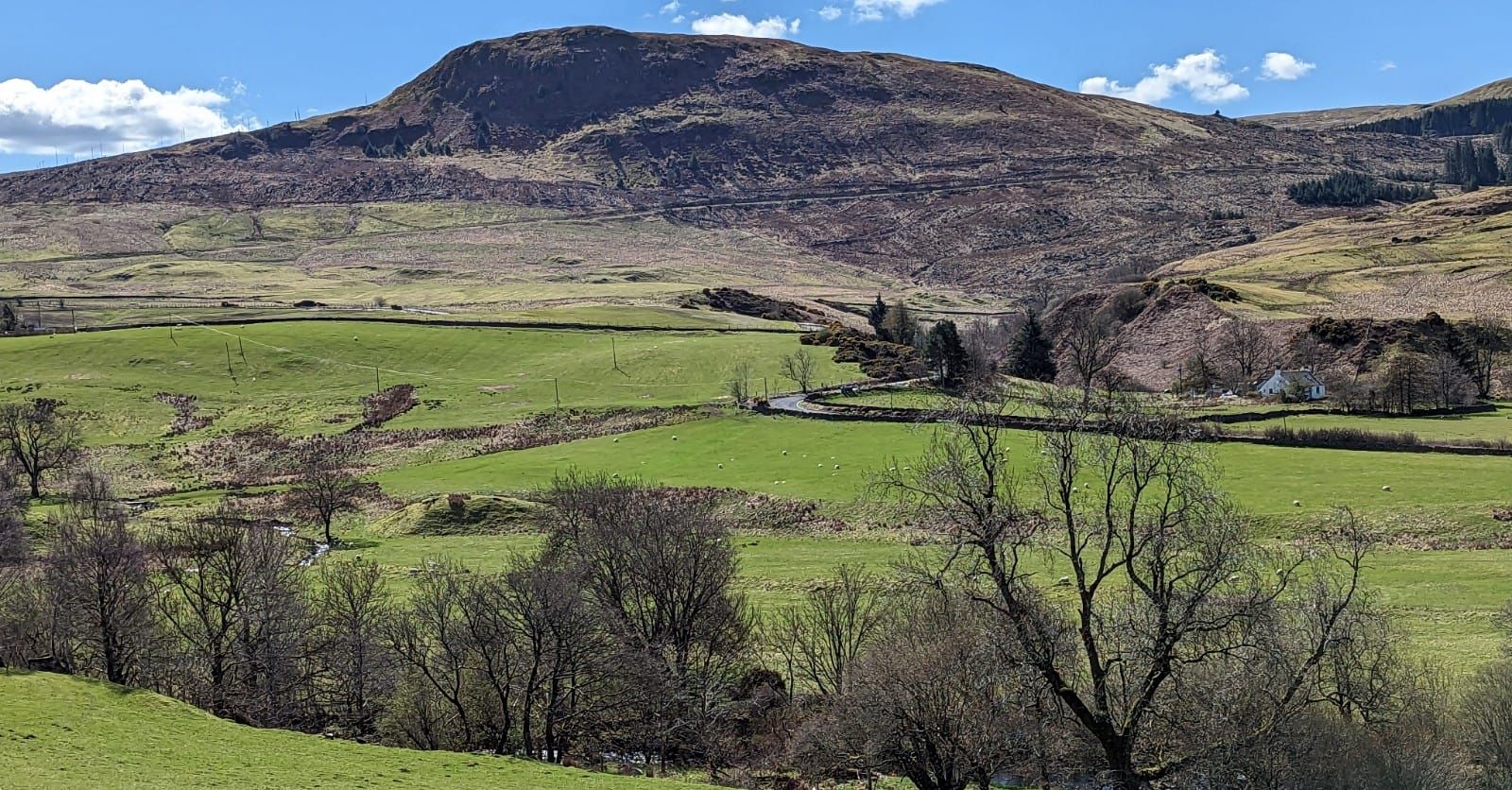
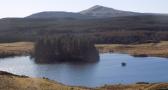
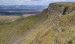
Photographs of an ascent of the Fintry Hills

above Loch Walton.

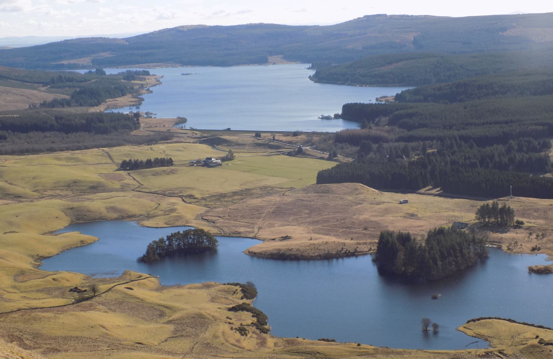
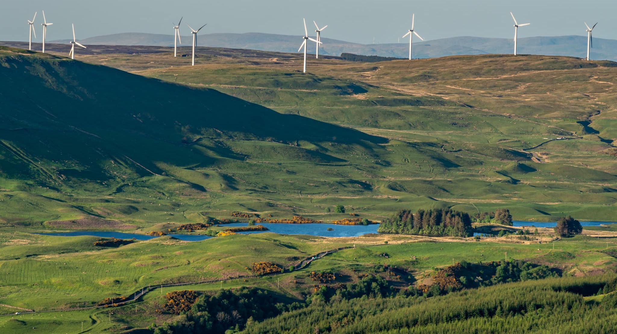
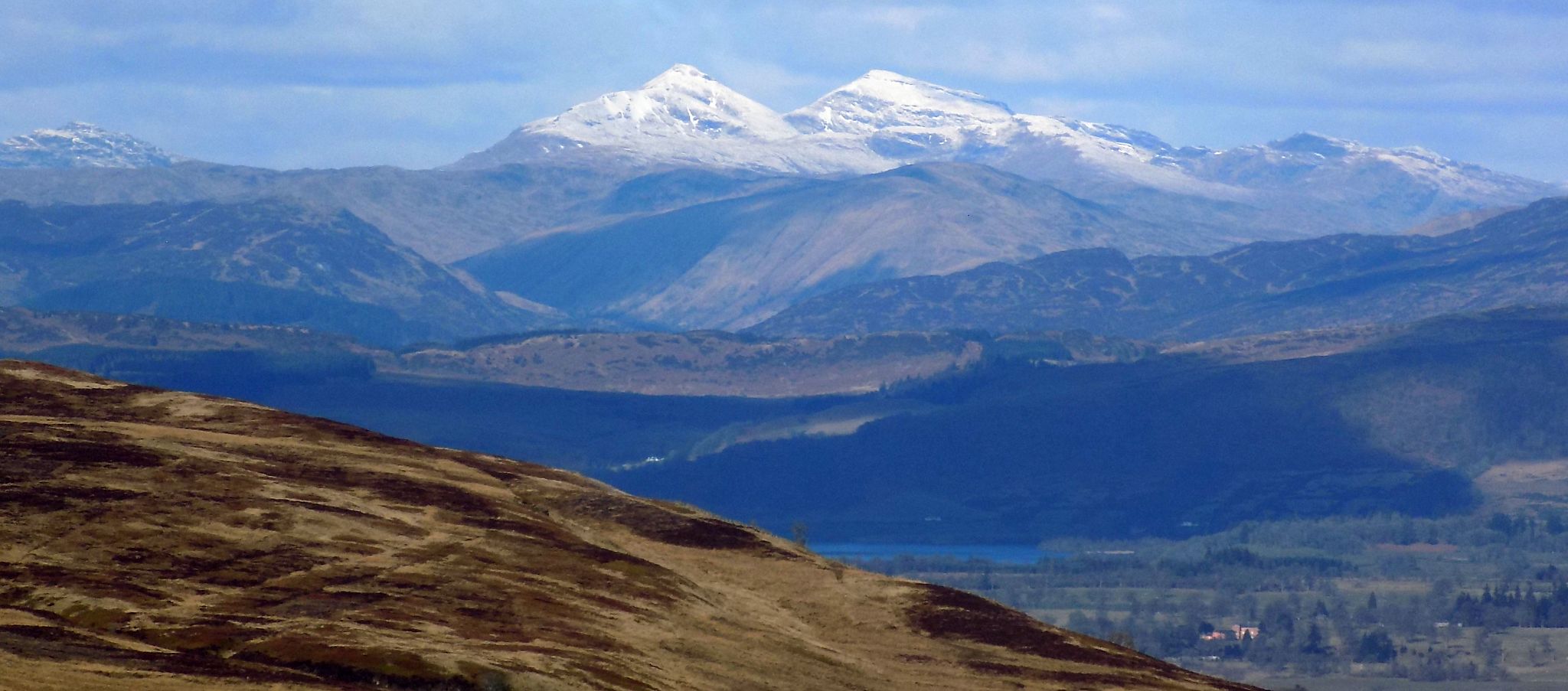
Views of Carron Valley Reservoir,
Meikle Bin,

 
Campsie Fells Ben More & Stob Binnein 

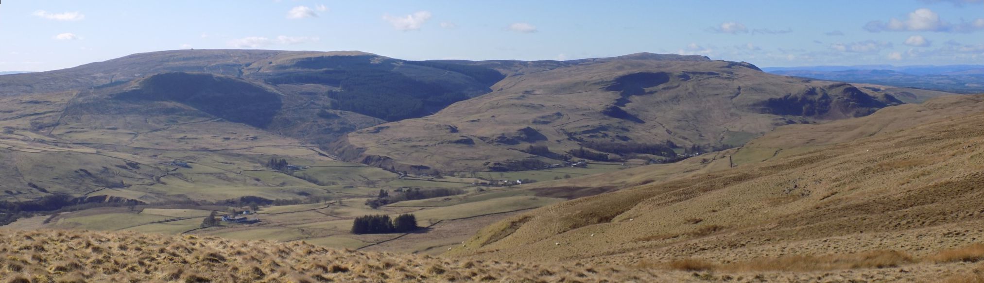
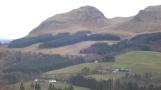
The walk may be continued along the top of the Fintry hills

 to the high point at Stronend

Campsie Fells at start of route

Campsie Fells at start of route


Fintry Hills above Loch Walton

Fintry Hills above Loch Walton


Loch Walton

Loch Walton

A former reservoir

now a trout fishery

used by Walton Angling Club


Carron Valley Reservoir beyond Loch Walton

Carron Valley Reservoir beyond Loch Walton


Carron Valley Reservoir beyond Loch Walton

Carron Valley Reservoir beyond Loch Walton


Carron Valley Reservoir beyond Loch Walton

Carron Valley Reservoir beyond Loch Walton


Meikle Bin in the Campsie Fells beyond Loch Walton

Meikle Bin in the Campsie Fells

beyond Loch Walton


Campsie Fells from Fintry Hills

Campsie Fells

from Fintry Hills


Campsie Fells from Fintry Hills

Holehead above Dungoil

in the Campsie Fells


from Fintry Hills


Loch Walton from Dungoil

Loch Walton from Dungoil


Stob Binnein and Ben More from the Fintry Hills

Stob Binnein and Ben More

 from the Fintry Hills


Earlsburn Wind Farm on Fintry Hills

   Earlsburn Wind Farm on Fintry Hills


Loup of Fintry at foot of the Fintry Hills

Loup of Fintry at foot of the Fintry Hills

The start of ascent is opposite route to the falls.


Ochill Hills and Carleatheran in the Gargunnock Hills from Stronend

Loch Walton


Geese in Loch Walton

Geese in Loch Walton


Geese in Loch Walton

Geese in Loch Walton


Double Craigs on the Fintry Hills

Double Craigs on the Fintry Hills 


Loup of Fintry at foot of the Fintry Hills

Loup of Fintry at foot of the Fintry Hills

The start of ascent is opposite route to the falls.


Dunbrach in Campsie Fells


Map of Fintry Hills and Loch Walton

Map of Fintry Hills

  and Loch Walton


Route Map of Fintry Hills and Stronend

Route Map of Fintry Hills and Stronend


Fintry Hills - Loch Walton and Stronend - Route Description:

Walk down private road towards Loch Walton but veer right round loch and straight up hill.
Near top, turn W and
walk along ridge over small tops to
Stronend ( 512m, 1679ft ).
The pillar is disguised by pieces
of natural stone fixed to its sides.
Then proceed NE
along edge and round to Spout of Ballochleam.
Return
along via SW side of Backside Burn, but turning S to meet route at start up hill.
Return to starting point.

To shorten the walk, return from
Stronend by outward route. Save 3km / 1.9ml.
Before or after this walk you may like to go through a gate on the S side of the road, and walk over
to the River Endrick. Here you will see the Loup of Fintry, one of the finest waterfalls of the area, especially
after rain.


Loch Walton Gallery Photo Gallery :: Stronend Gallery Photo Gallery  :: Campsie Fells Gallery Photo Gallery

<< Back : Bearsden Walks Index : Next >>


Scotland Index :: Scottish Peaks :: Scotland Walks

Glencoe | Ben Nevis | Knoydart | Isle of Skye | Isle of Arran

The Eastern Highlands | The Central Highlands | The Southern Highlands | The NW Highlands


Adventure Travel : Worldwide Mountaineering : Site Index

fb icon  google+ icon Linkedin icon  twitter


Guide Books & Maps - Scotland:-


West Highland Way: Footprint MapWest Highland Way - Map West Highland Way - Map Western Scotland & the Western Isles OS Road Map Northern Scotland OS Road MapSouthern Scotland OS Road MapGlasgow Popular Hills - Map


Ochils and Campsie Fells

Glasgow Visitor Guide - Colin Baxter Itchy Insider's Guide to Glasgow Glasgow Footprint Pocket Guide Glasgow Insight Pocket Guide Glasgow Guide Pub Companion Glasgow Scotland's Highlands & Islands - Rough Guide Scotland - Rough Guide

Glasgow Insight Pocket GuideCollins Street Map of GlasgowGlasgow: Then & NowThey belonged to Glasgow Phillips Street Atlas of Glasgow & West Central Scotland Glasgow: The Photographic Atlas100 Hillwalks around Glasgow 50 Walks in Glasgow & SW Scotland

Visit Scotland - Touring Guide Scotland: Where to Stay - Hotels & Guest Houses Scotland: Where to Stay - Bed & Breakfast Rough Guide ScotlandScottish Highlands & Islands - Rough Guide Scotland - Lonely PlanetScotland's Highlands & Islands - Lonley Planet Great Glasgow StoriesGlasgow & Surroundings - Insight Guide

West Highland Way: Official GuideWest Highland Way: Rucksac ReadersWest Highland Way: TrailblazerThe West Highland WayWest Highland Way: Footprint MapWest Highland Way - Map West Highland Way - Map West Highland Way Wet Highland Way - Official Guide

Munro Almanac The High Mountains of Britain and Ireland The Munros: Scottish Mountaineering Club The Isle of Skye The Isle of Arran Wilderness Walks Ski Mountaineering in Scotland

More Wilderness Walks 50 Best Routes on Skye and Raasay Skye - W.A.PoucherMagic of the Munros Mountaineering in Scotland and Undiscovered Scotland by W.H.MurrayA Long Walk on the Isle of Skye

Classic Climbs - Central & Southern Highlands The Isle of Arran Lonely Planet, Walking in ScotlandPathfinder Guide: Skye and NW Highlands WalksPathfinder Guide: Fort William and Glen Coe Walks Rambler's Guide: Ben Nevis and Glen Coe50 Best Routes on Skye and Raasay - Chris Townsend


Google Analytics


Google Analytics

extremetracking
 eXTReMe Tracker


extremetracking
Sitelock caingram.com
SiteLock
Sitelock
Sitelock caingram.info
SiteLock
Sitelock