  |
The Scottish HighlandsBeinn a'Chroin & An Caisteal
|
  |
| |
The Scottish HighlandsBeinn a'Chroin & An Caisteal
|
|
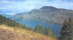
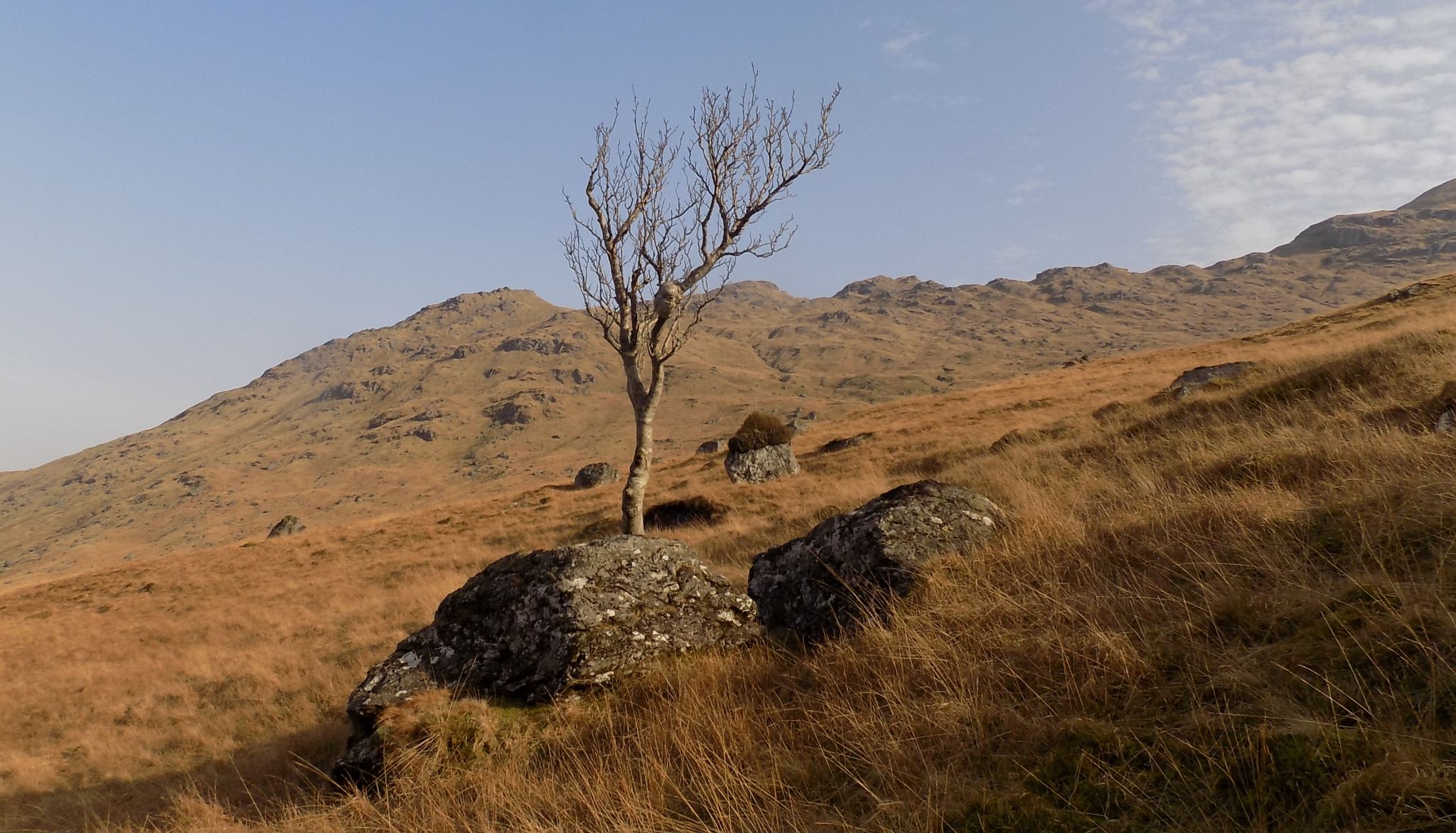
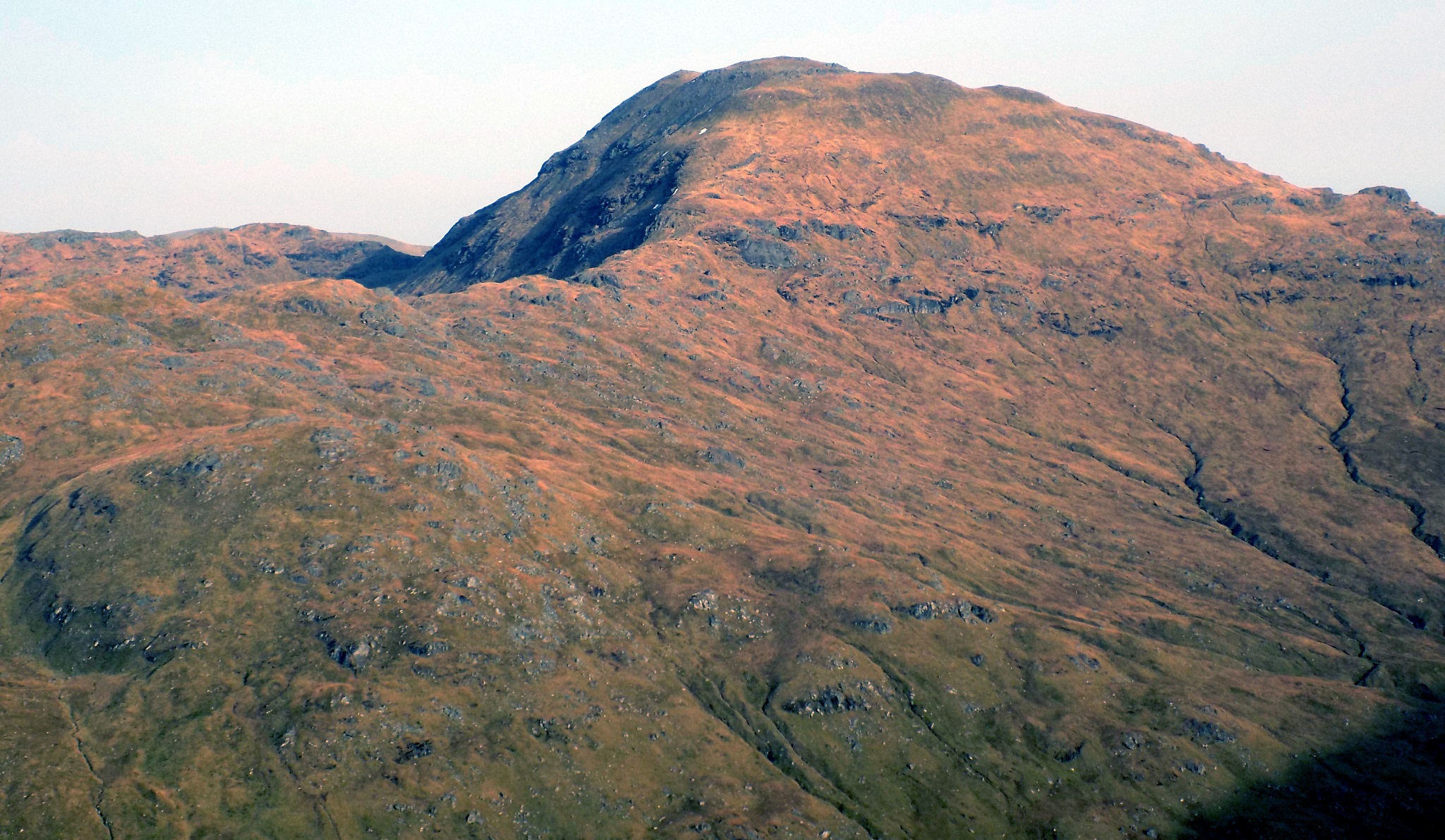
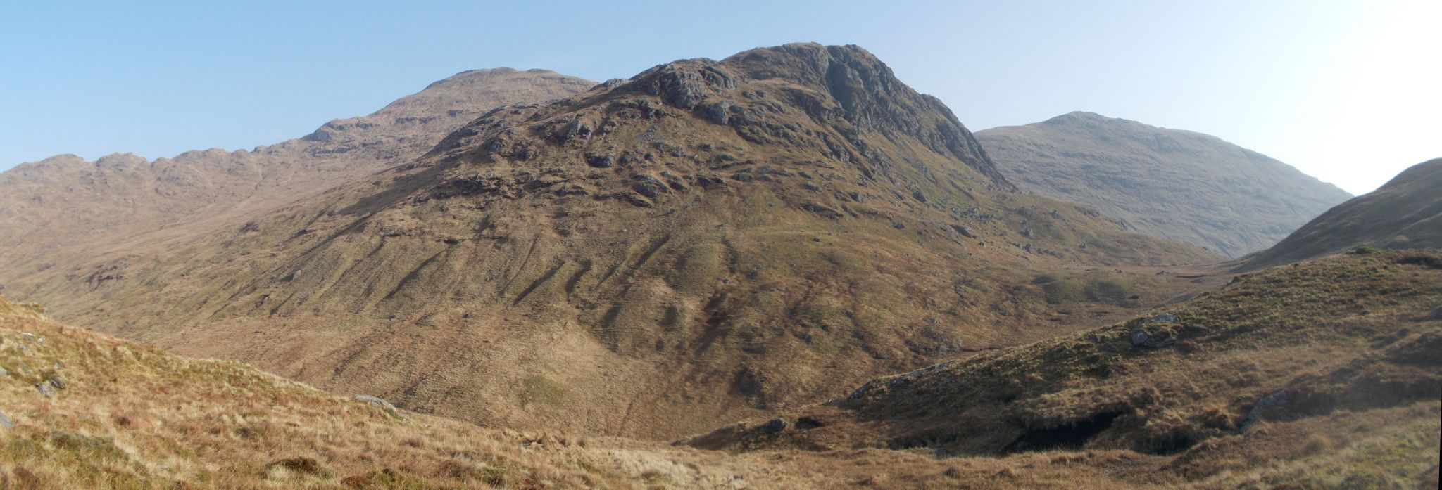
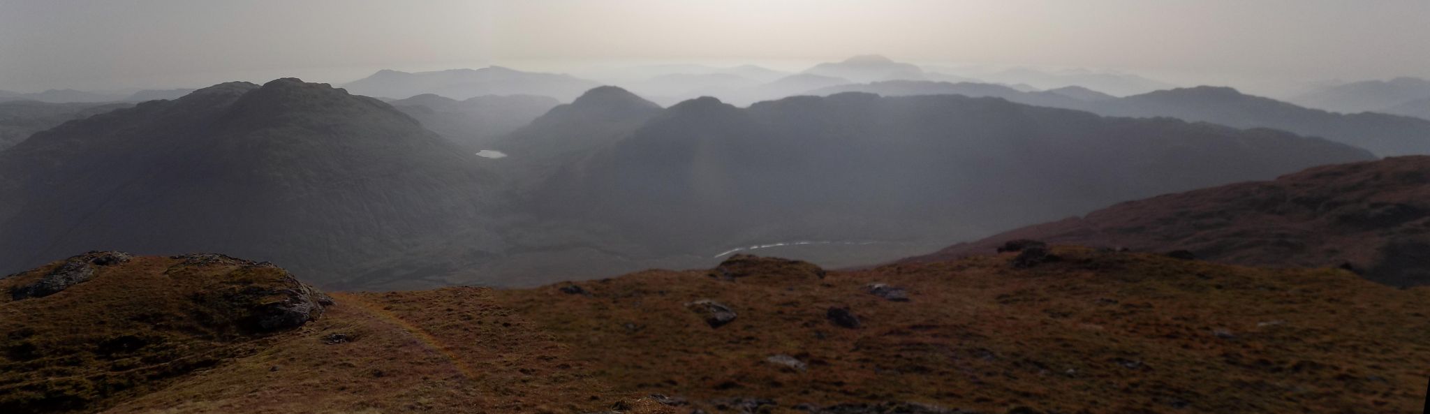
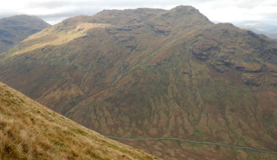
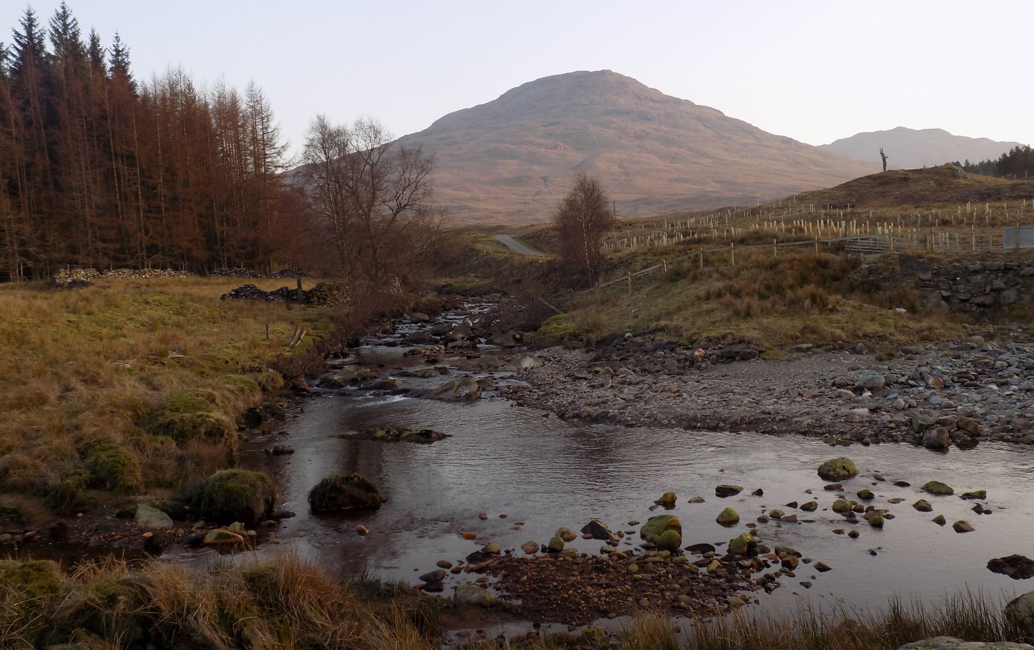
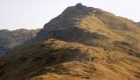
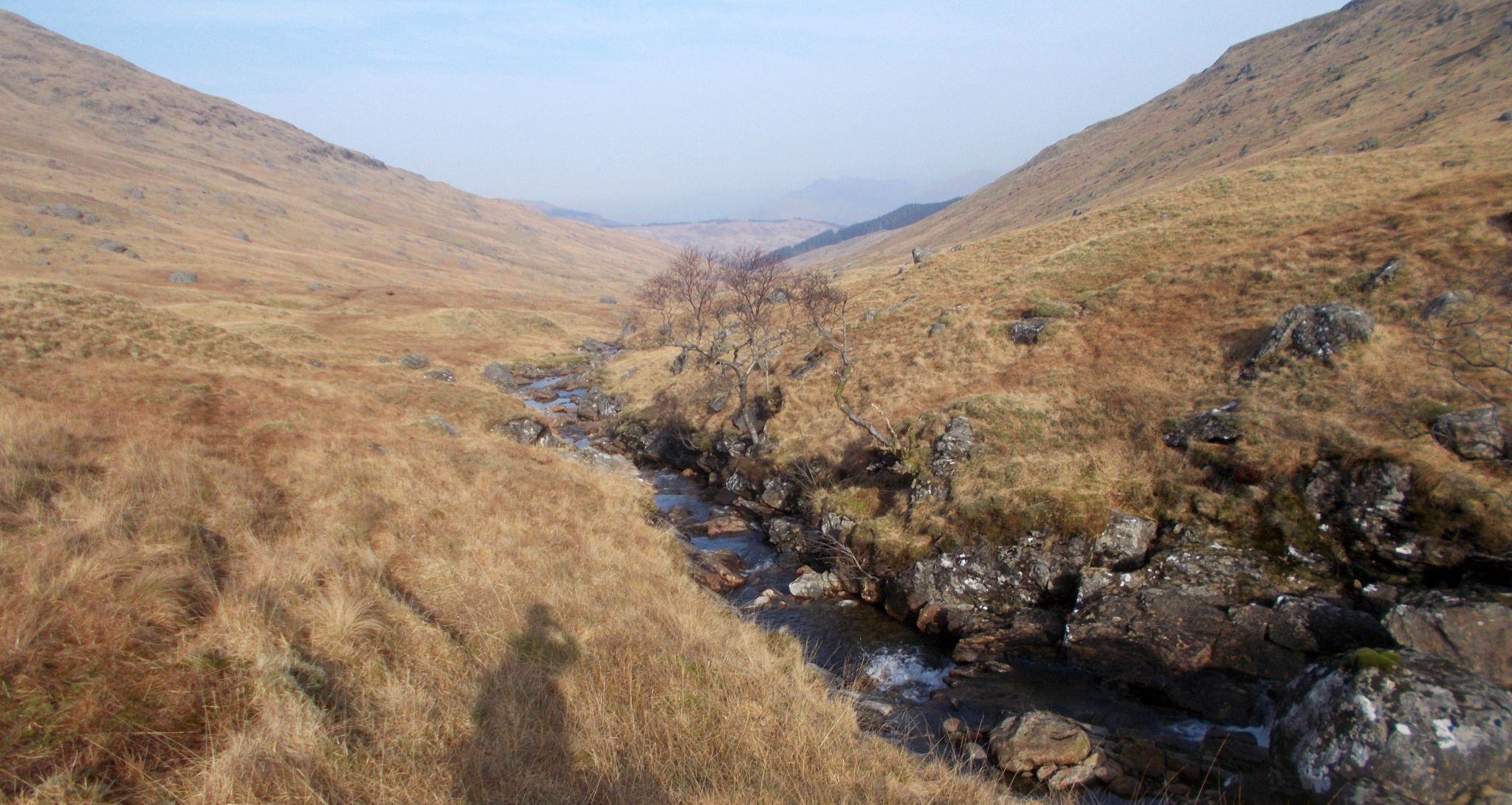 Coire Earb beneath An
Caisteal ( The Castle )
and Beinn a'Chroin |
 |
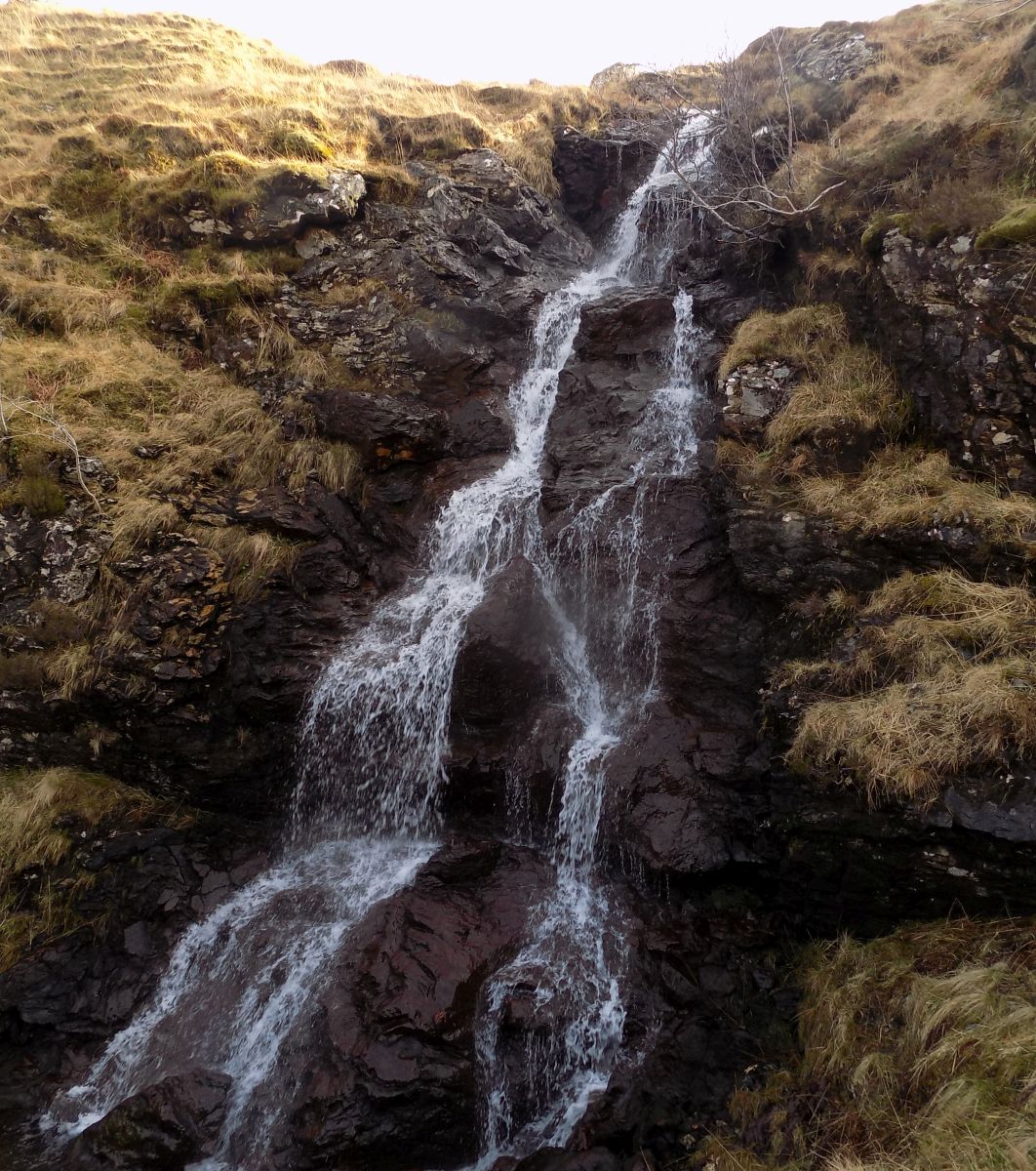 Waterfall in Coire
Earb
|
 |
 Cruach Ardrain,
Stob Glas and Beinn Tulaichean |
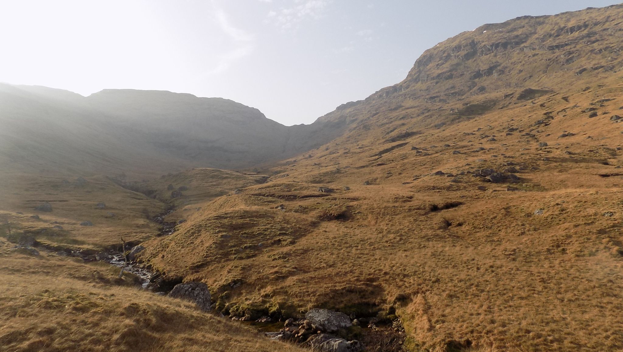
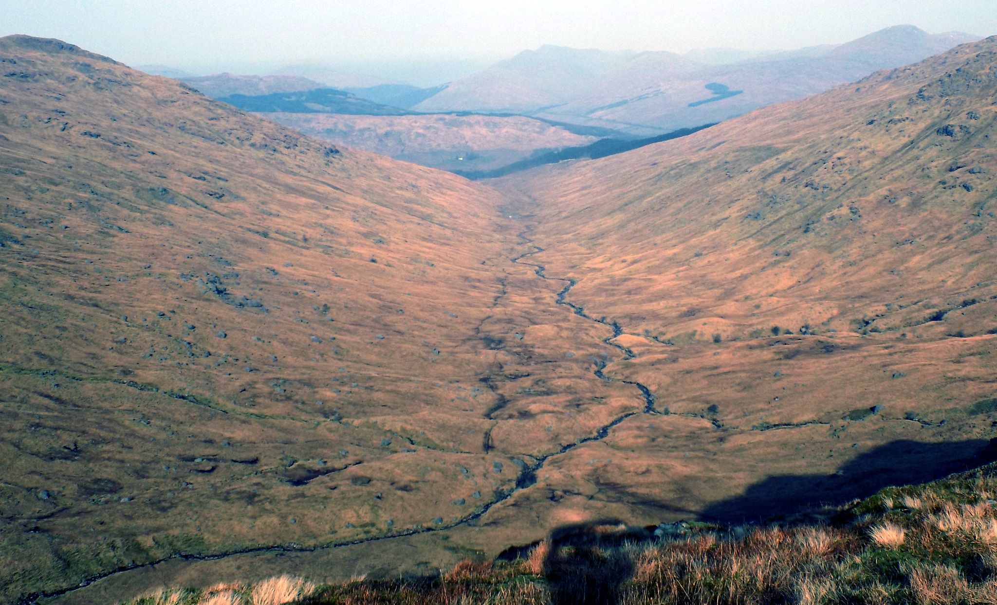 Ascent route in
Coire Earb
|
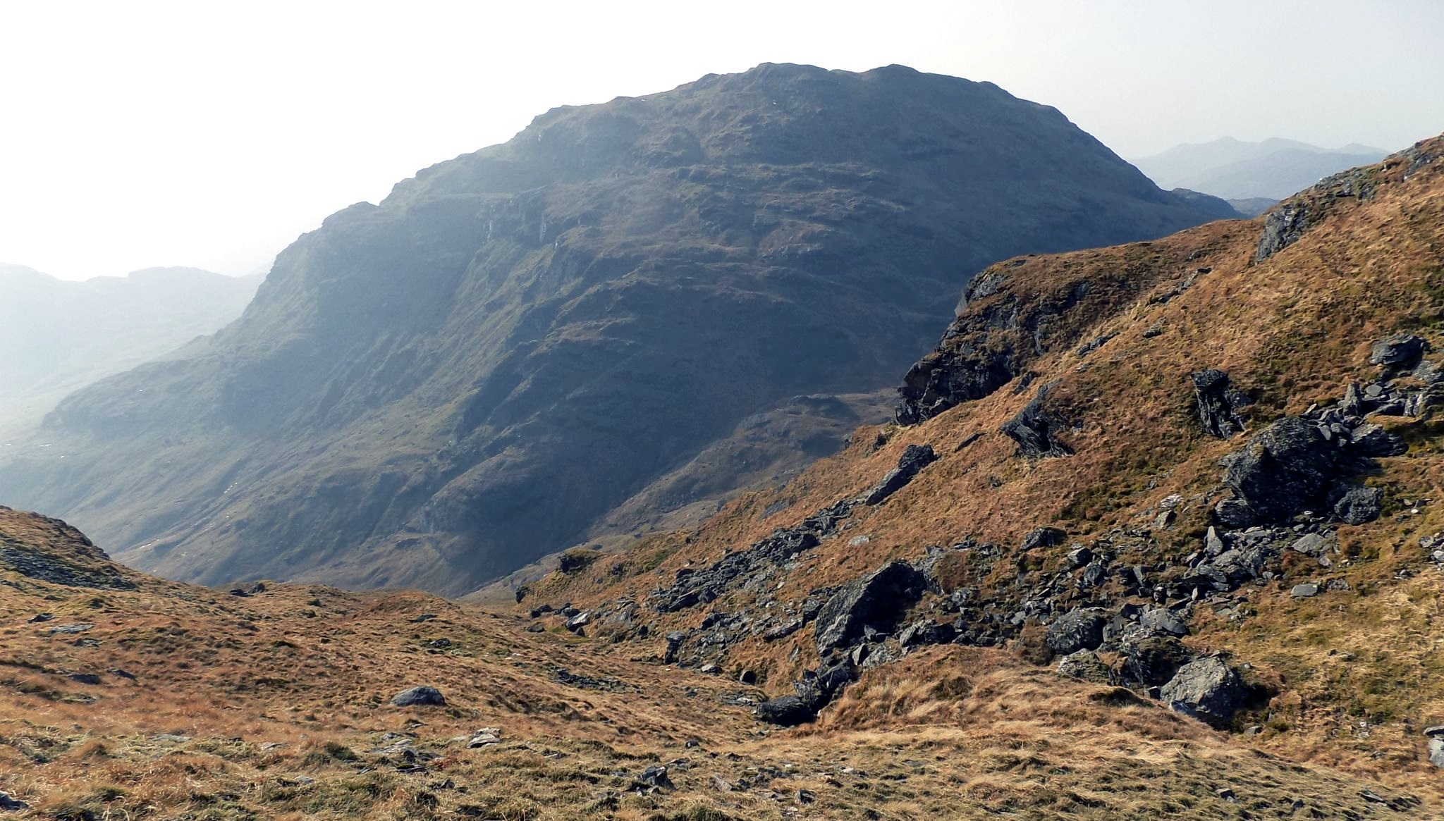
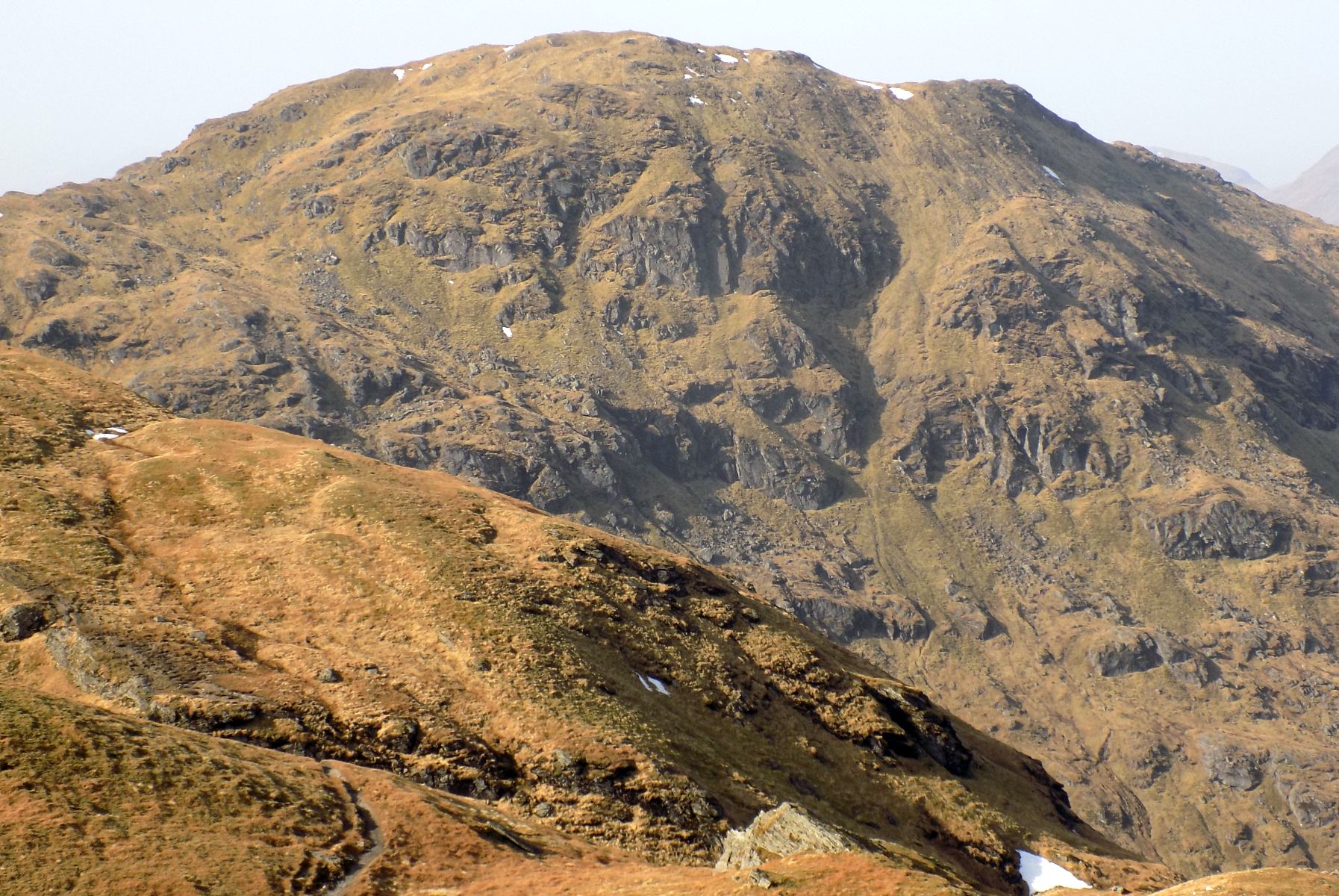
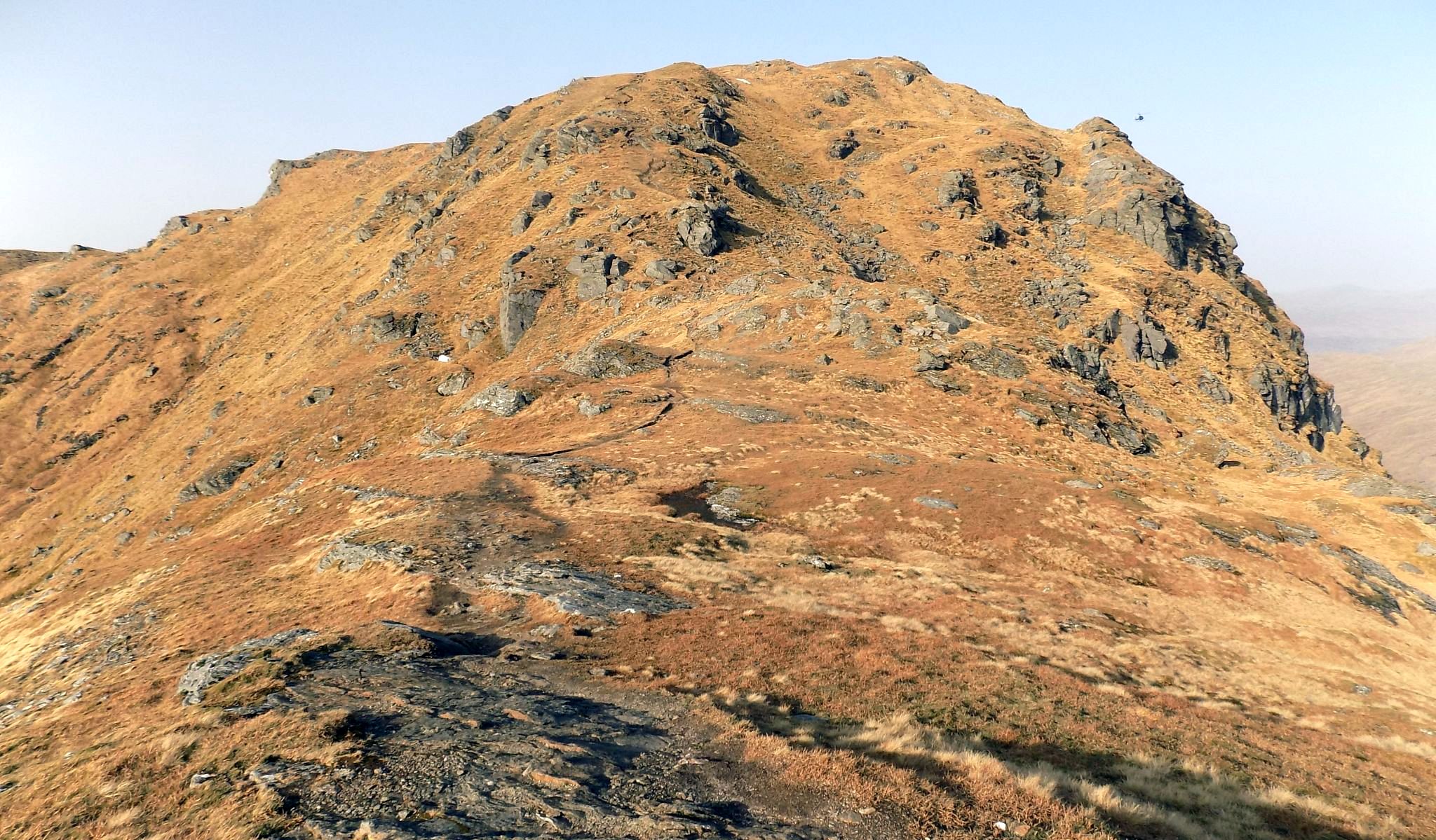
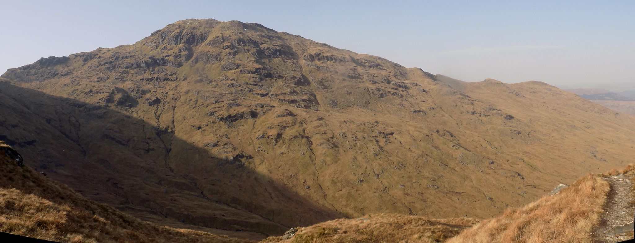 An Caisteal above Coire Earb
|
 |
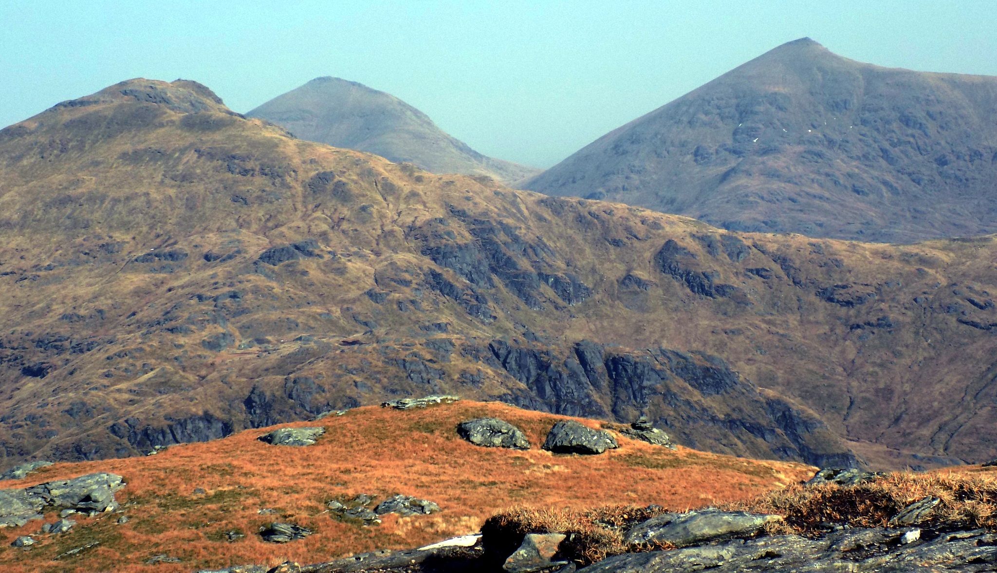 |
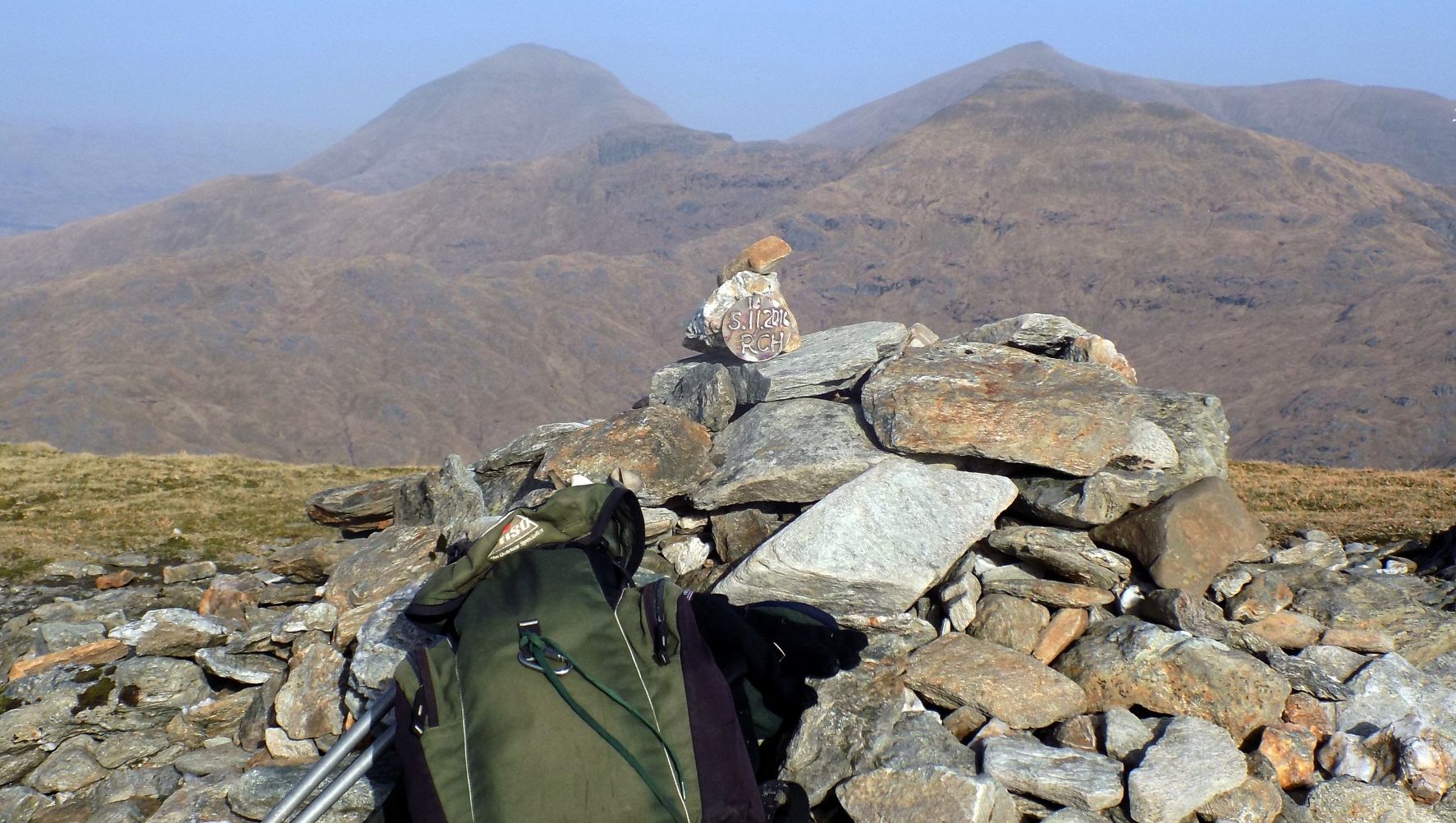
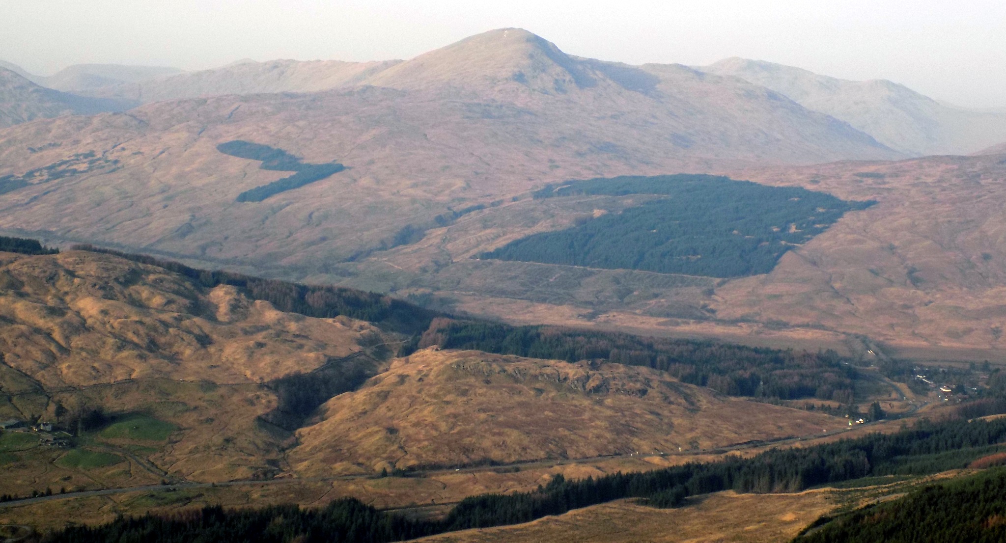
 Ben More and Stob Binnein
|
 |
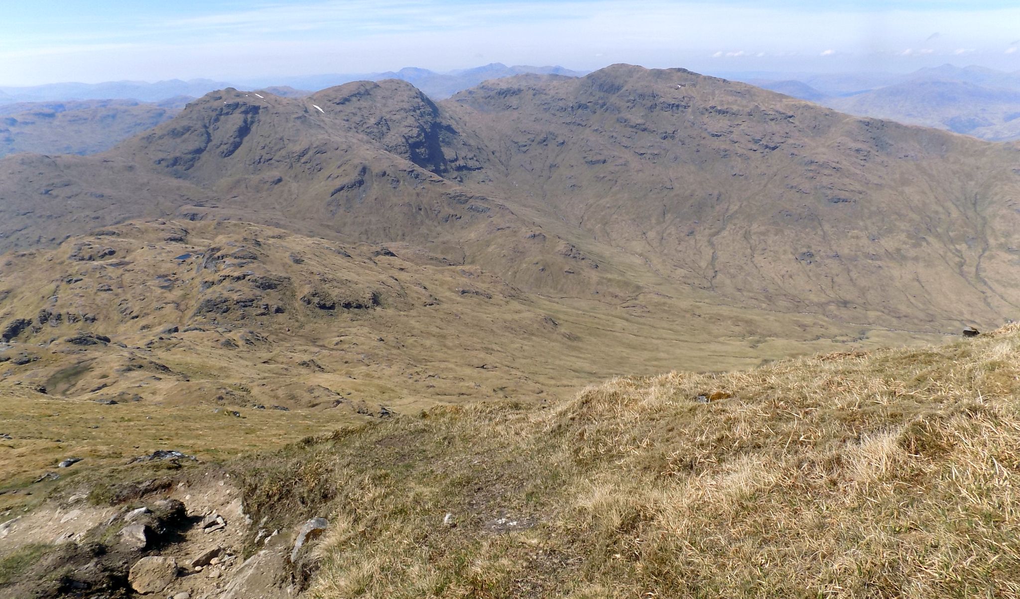
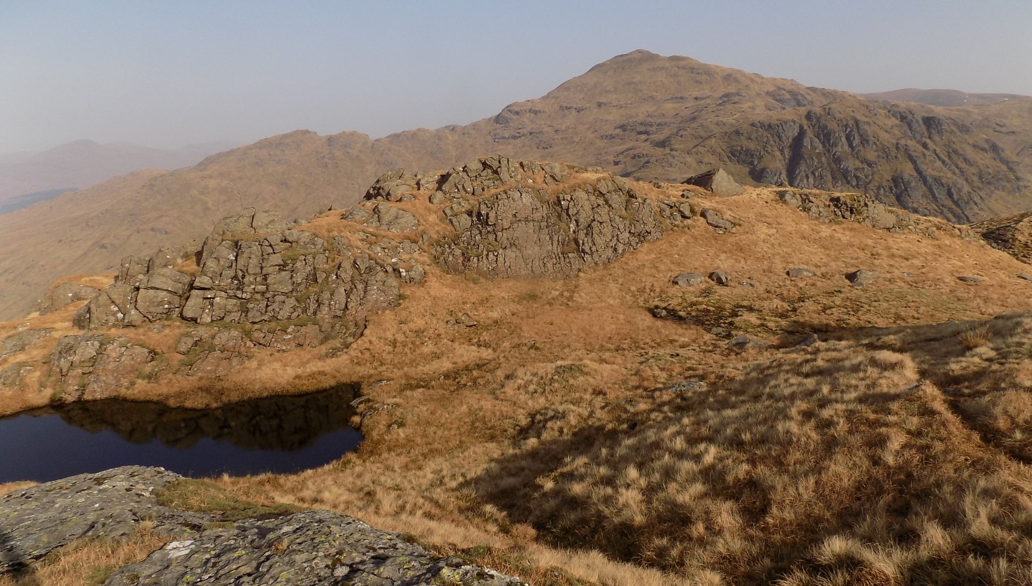
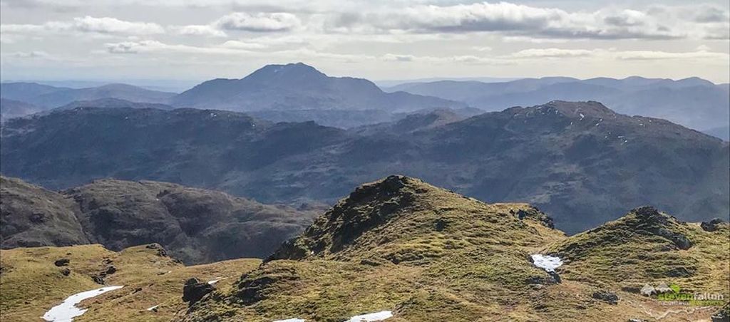
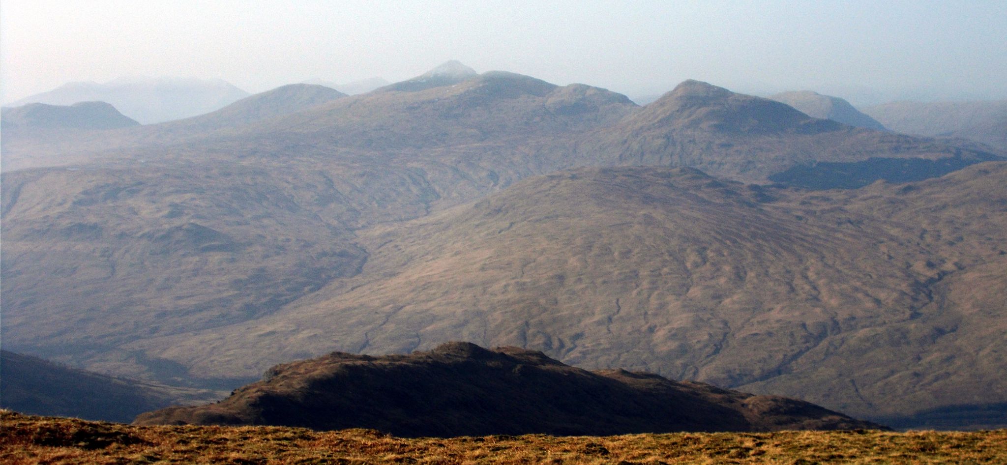
 Peaks to the south
of Beinn
a'Chroin
|
 Ben Lomond
from Beinn a'Chroin |
 |
 |
|
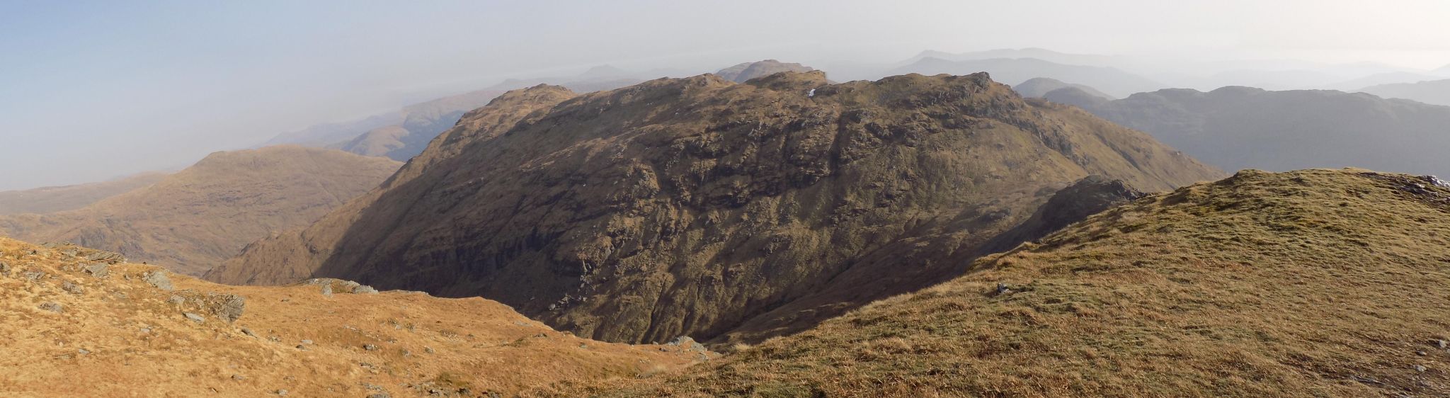 Beinn a'Chroin
from An Caisteal |
 |
 |
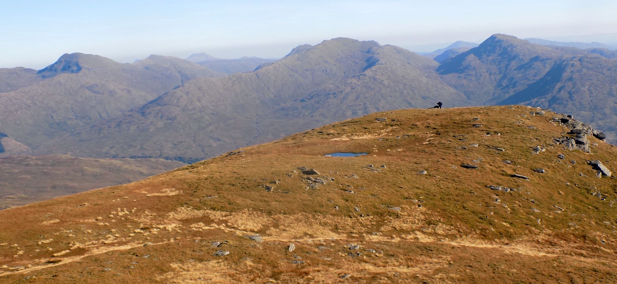
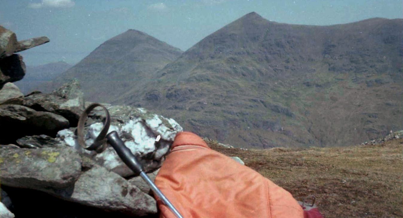
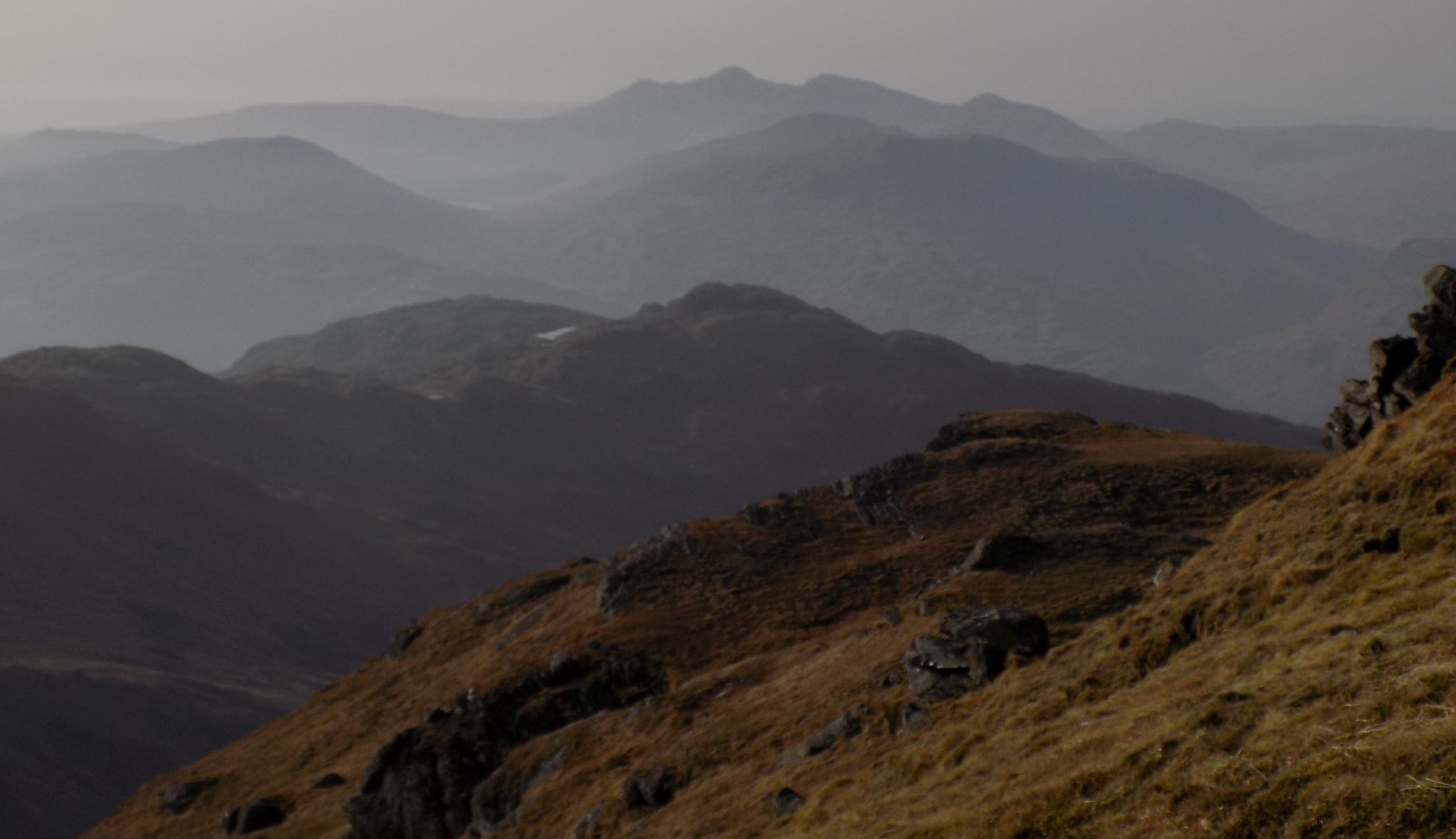
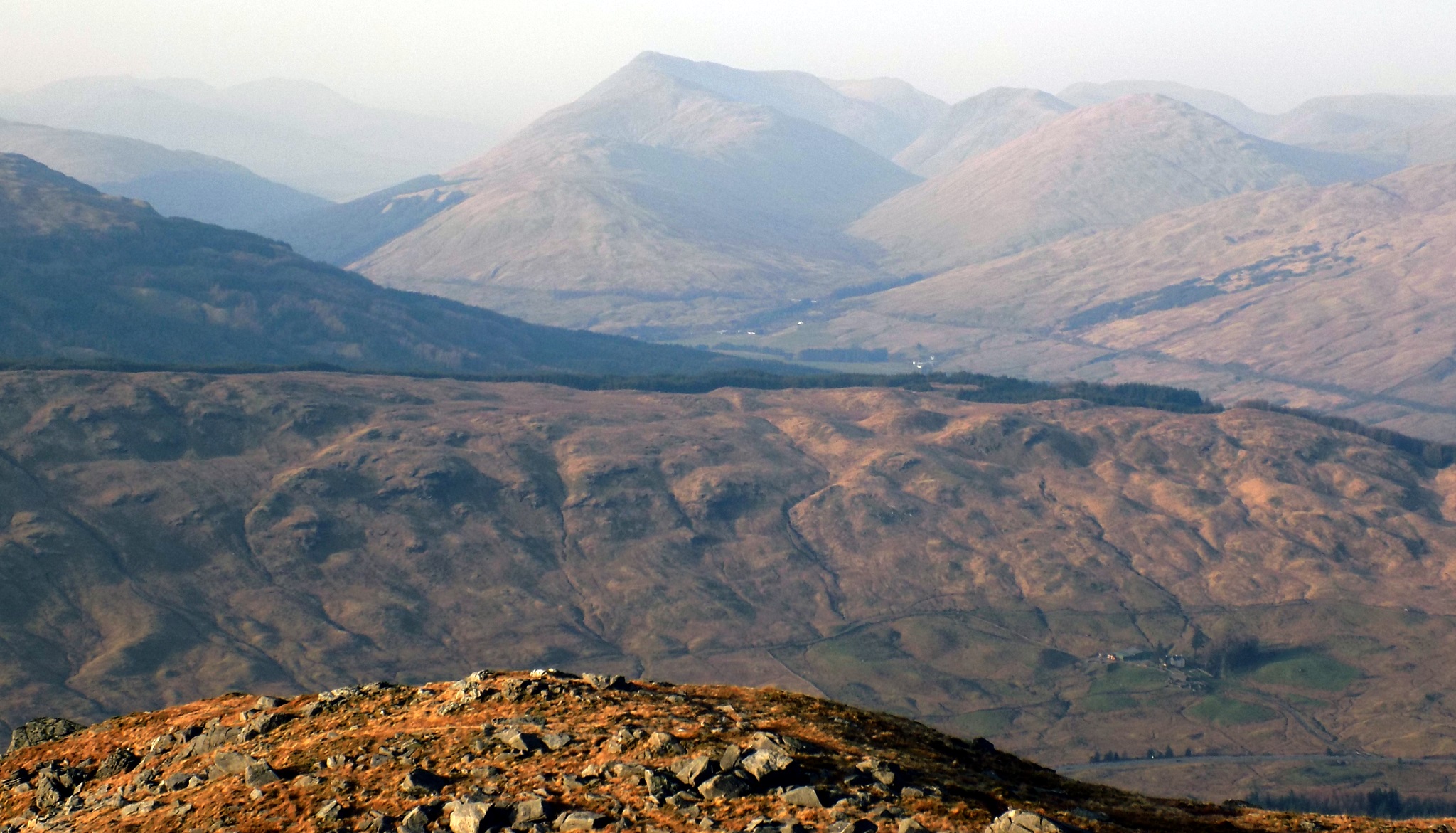
 Ben
Lui Group
from An Caisteal |
 |
 |
|
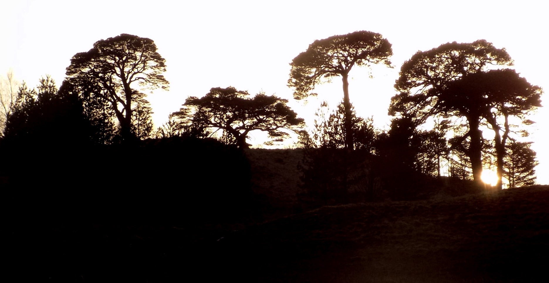 Sunset on Scots Pines
|
|
 |
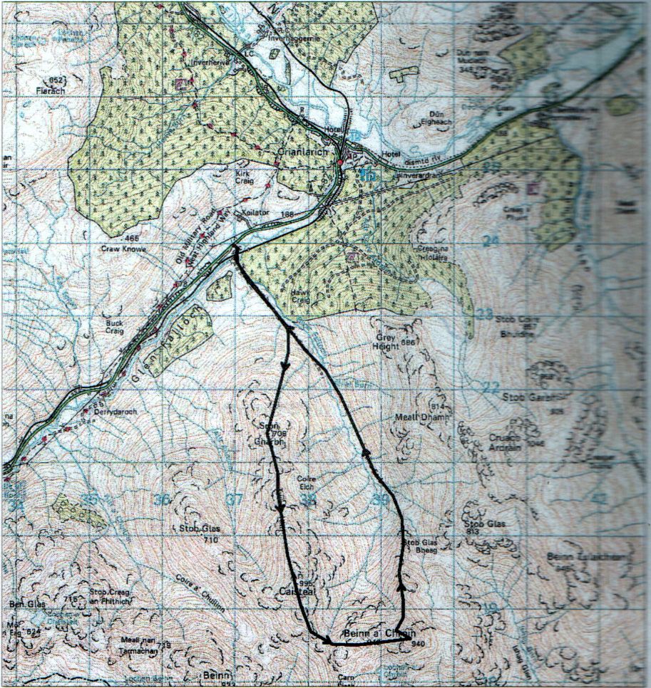
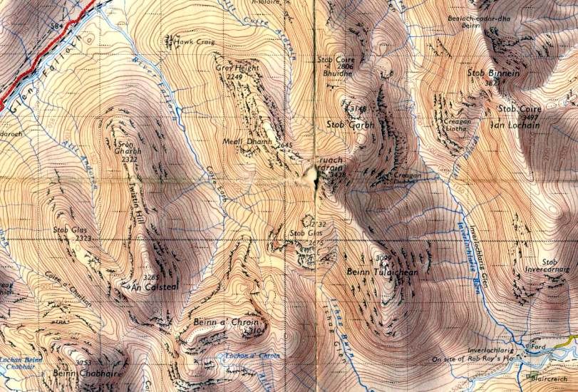 Map for
Beinn a'Chroin and An
Caisteal
|
|
 Map for
Beinn a'Chroin and An
Caisteal
|
|
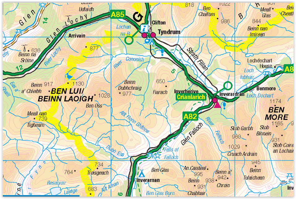 Location Map of An
Caisteal and Beinn a'Chroin
|
|
BEINN a'CHROIN & An CAISTEAL - ROUTE DESCRIPTION:
 :: An
Caisteal
Gallery
:: An
Caisteal
Gallery 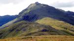 ::
West
Highland
Way
::
West
Highland
Way